
Winter Weather Advisory through midnight tonight
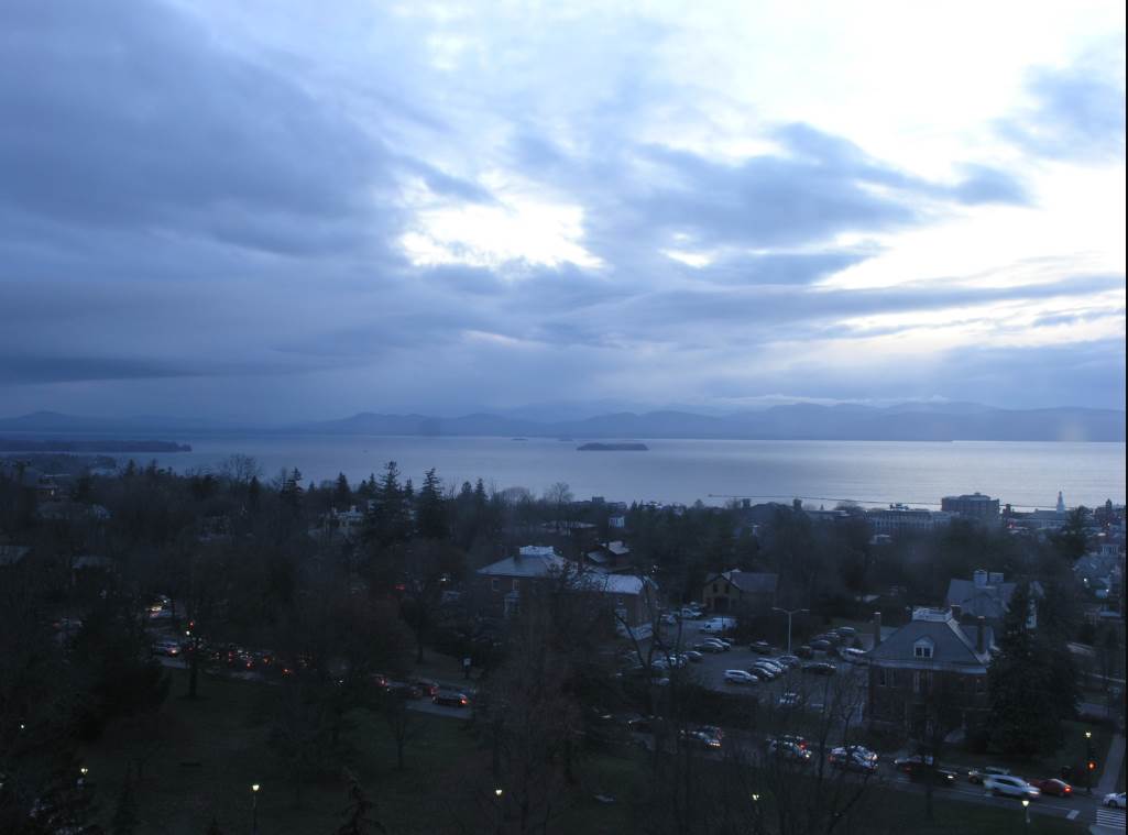
TONIGHT: Cloudy. Spotty mixed precipitation for a time this evening. Watch for hazardous travel developing across colder valleys. Periods of rain with areas of dense fog overnight. Temperatures near 32 to rise into the mid to upper 30s overnight. Light southeast winds.
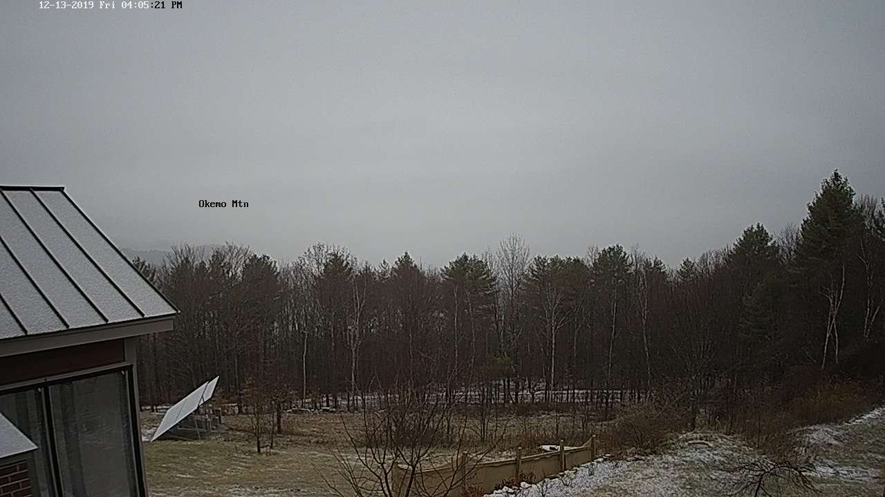
TOMORROW: Cloudy. Occasional rain tapering to scattered light showers. Areas of fog. A high 40 to 45. Easterly winds 10 mph but stronger western slopes of the Green Mountains in the morning.
SATURDAY NIGHT: Scattered light rain showers…changing to wet snow showers overnight. Temperatures in the low 40s falling to around 32. Winds becoming southwesterly 10 to 20 mph.
SUNDAY: Mostly cloudy. Blustery to windy. Snow showers across mainly the northern Green Mountains. A dusting to a couple inches. A high 32 to 35. Gusty west winds 10 to 25 mph with higher gusts across the hills.
Looking further ahead…
SUNDAY NIGHT: Scattered evening flurries exiting. Otherwise becoming partly cloudy. A low around 15.
MONDAY: Partly to mostly sunny. A high in the mid 20s.
TUESDAY: Gray. Chance for snow accumulation mixed with sleet and freezing rain across southern areas. A low near 15. A high around 25.
WEDNESDAY: Mostly cloudy. Chance for lingering snow showers and flurries. A low 15 to 20. A high around 25.
Average lows 15 to 20, average highs 30 to 35.
RH/12-13-19[end]
