
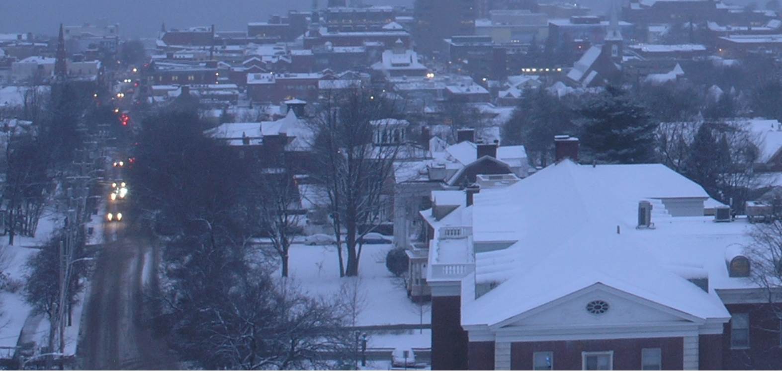
TONIGHT: Snow showers this evening becoming isolated overnight. Total accumulation 1 to locally 4”. Otherwise mainly cloudy. A low 15 to 20. Light north winds.
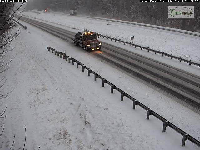
TOMORROW: Mostly cloudy and becoming blustery late. Accumulating snow showers & a few intense squalls developing northern areas in the afternoon. Additional accumulation up to 2”. A high upper 20s to near 30. West to southwest winds pick up 10 to 20 mph late.
WEDNESDAY NIGHT: Variable clouds. Blustery and sharply colder. Accumulating snow squalls winding down overnight. Dusting to 2”. A low zero to 5 above. Northwest winds lowering wind chills.
THURSDAY: Flurries in the morning followed by intervals of afternoon sunshine north, and mostly sunny southern areas. Cold and blustery with lowered wind chills. A high in the teens. Northwest winds 10 to 20 mph.
Looking further ahead…
THURSDAY NIGHT: Partly cloudy. “Diamond dust” A low 5 below to 5 above.
FRIDAY: A few morning clouds with Diamond dust then sunny and cold. A high just 10 to 15.
Winter Solstice 11:19 PM Saturday evening
SATURDAY: Filtered sunshine after a frigid start. A low zero to 10 below. A high around 25.
SUNDAY: Partly to mostly sunny. Beginning of a warming trend. A low around 10. A high in the mid 30s.
Average lows ranging through upper single digits to mid teens, average highs 30 to 35.
RH/12-17-19[end]
