Updated Thursday Morning forecast — December 26th, 2019

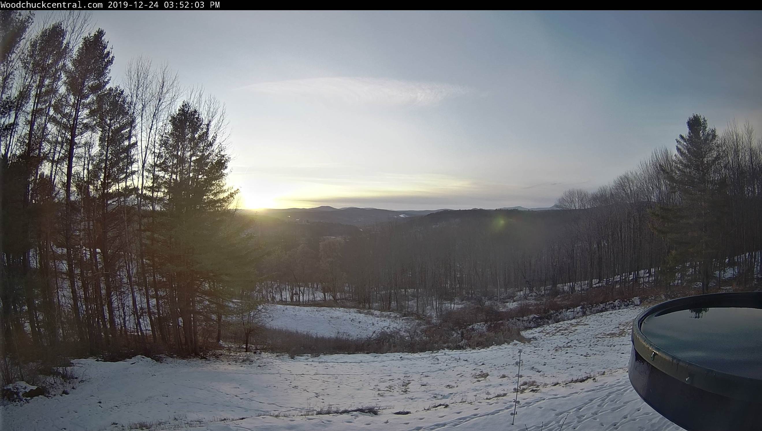
TODAY: Filtered sunshine through high cloudiness. A high in the mid to upper 30s. Light southeast winds.

Winter Weather Advisory overnight into Friday morning…

TONIGHT: Thickening clouds. Light mixed precipitation blending into occasional light freezing rain showers. Mixed sleet and snow less than 1” with some light glazing making for tricky travel. A low 25 to 30. Southeast winds 10 to 15 mph overnight.

FRIDAY: Gray skies. Occasional light freezing rain showers with a trace of glazing changing to rain showers in the afternoon with improving travel conditions. A high in the low 40s. South winds 10 mph.

Looking further ahead…

FRIDAY NIGHT: Cloudy. Scattered rain showers mixing with wet snow flakes overnight. Watch for slick spots. A low 25 to 30.

SATURDAY: Isolated morning flurries, then intervals of sun. A high pushing to near 40.

SUNDAY: Brief morning sun then clouding up. Chance for rain or mixed precipitation developing late. A low 20 to 25. A high in the upper 30s.

MONDAY: Gray. Chance for wet snow & mixed precipitation possibly moderate at times. A few inches of accumulation possible northern and central Vermont. Temperatures holding 30 to 35.

Average lows mid-single digits to mid teens, average highs mid 20s to low 30s.

RH/12-26-19[end]

Updated Tuesday Christmas Eve Forecast — December 24th, 2019

TONIGHT CHRISTMAS EVE: Scattered clouds this evening, Becoming cloudy overnight.A low around 15. Light north winds.

TOMORROW CHRISTMAS DAY: Considerable cloudiness. A high 32 to 35. Light south winds.

WEDNESDAY NIGHT: Variable clouds. A low 15 to 20. Light northeast winds.

THURSDAY: Filtered sunshine through high cloudiness. A high in the upper 30s. Light southeast winds.

Looking further ahead…

THURSDAY NIGHT: Thickening clouds. A rising chance for light spotty mixed precipitation overnight. Possible slick travel. A low 25 to 30.

FRIDAY: Mainly cloudy. Chance for light showers of mixed precipitation changing to light rain showers. Watch for few slick spots in the morning. A high around 40.

SATURDAY: Isolated morning flurries, then intervals of sun. A low around 25. A high upper 30s to near 40.

SUNDAY: Brief morning sun then clouding up. Chance for rain or mixed precipitation developing late. A low 20 to 25. A high in the low 40s.

MONDAY: Gray. Chance for mixed precipitation…changing to rain possibly moderate at times. A low in the 30s. A high ranging thru the 40s.

Average lows mid-single digits to mid teens, average highs mid 20s to low 30s.

RH/12-24-19[end]

Updated Tuesday Morning forecast — December 24th, 2019

TODAY: Periods of sunshine mixed with clouds. A high near 32 degrees. Northwest winds 10 mph.

TONIGHT CHRISTMAS EVE: Partly cloudy.A low around 15. Light north winds.

WEDNESDAY CHRISTMAS DAY: Considerable cloudiness. A high near 32. Light south winds.

Looking further ahead…

WEDNESDAY NIGHT: Fair & dry with high cloudiness. A low near 15.

THURSDAY: Filtered sunshine through high cloudiness. A high in the mid to upper 30s.

FRIDAY: Mainly cloudy. Chance for light showers of mixed precipitation changing to light rain showers. Watch for few slick spots in the morning. A low around 20. A high mid-30s to near 40.

SATURDAY: Isolated morning flurries, then intervals of sun. A low around 25. A high upper 30s to near 40.

SUNDAY: Brief morning sun then clouding up. Chance for rain developing late. A low 20 to 25. A high in the low 40s.

MONDAY: Gray. Chance for rain possibly moderate at times. A low in the 30s. A high ranging thru the 40s.

Average lows mid-single digits to mid teens, average highs mid 20s to low 30s.

RH/12-24-19[end]

Updated Monday Evening Forecast — December 23rd, 2019

TONIGHT: Variable clouds, maybe a stray northern mountain sprinkle or flurry. A low upper teens to low 20s. West winds picking up shifting to northwesterly at 10 to 20 mph.

TOMORROW: Periods of sunshine mixed with clouds. A high ranging mid-20s to around 30. Northwest winds 10 mph.

TUESDAY NIGHT CHRISTMAS EVE: Partly cloudy.A low upper single digits to mid-teens. Light north winds.

WEDNESDAY CHRISTMAS DAY: Considerable cloudiness. A high near 32. Southeast winds 10 mph.

Looking further ahead…

WEDNESDAY NIGHT: Fair & dry with high cloudiness. A low 10 to 15.

THURSDAY: Filtered sunshine through high cloudiness. A high 25 to 30.

FRIDAY: Mainly cloudy. Chance for occasional snow showers and spotty mixed precipitation. Watch for few slick spots. A low in the teens to around 20. A high in the low to mid 30s.

SATURDAY: Isolated morning flurries, then intervals of sun. A low 25 to 30. A high in the around 35.

Average lows mid-single digits to mid teens, average highs mid 20s to low 30s.

RH/12-23-19[end]

Updated Monday morning Forecast — December 23rd, 2019

TODAY: Partly cloudy with more sun than clouds southern areas. Mild. A high pushing to near 45. South winds 10 mph.

TONIGHT: Mostly cloudy. Widely scattered mountain flurries late this evening into the overnight. A dusting in spots. A low 10 to 15. West winds shifting to northwesterly at 10 to 20 mph.

TUESDAY CHRISTMAS EVE DAY: Periods of sunshine mixed with clouds. A high near 35. Northwest winds 10 mph.

Looking further ahead…

TUESDAY NIGHT CHRISTMAS EVE: Partly cloudy.A low 10 to 15.

WEDNESDAY CHRISTMAS DAY: Variably cloudy. A high near 32.

THURSDAY: Filtered sunshine. A low in the single digits above zero. A high 25 to 30.

FRIDAY: Cloudy. Chance for snow showers and spotty mixed precipitation. Watch for slick travel. A low around 10. A high in the low 30s.

Average lows mid-single digits to mid teens, average highs mid 20s to low 30s.

RH/12-23-19[end]

Updated Friday Evening Forecast — December 20th, 2019

TONIGHT: Clear this evening with high clouds arriving overnight. A low ranging 5 above to 5 below. Little wind.

TOMORROW: Variable high clouds. Frigid start. Not as cold. A high in the mid-20s. Light south winds.

Winter Solstice 11:19 PM Saturday evening

SATURDAY NIGHT: Fair with high cloudiness. A low 10 to 15. Light south winds.

SUNDAY: Filtered sunshine through high clouds. A high upper 30s to around 40. Southwest breeze 10 mph.

Looking further ahead…

SUNDAY NIGHT: Mostly clear with a few high clouds. A low around 15.

MONDAY: Partly cloudy northern areas otherwise lots of sunshine. A high around 45.

TUESDAY CHRISTMAS EVE DAY: Mixed clouds and sun. Isolated northern mountain flurry. A low 15 to 20. A high in the mid to upper 30s.

WEDNESDAY CHRISTMAS DAY: Variably cloudy. A low in the teens. A high 32 to 35.

Average lows ranging through upper single digits to mid teens, average highs 30 to 35.

RH/12-20-19[end]

Updated Friday morning Forecast — December 20th, 2019

TODAY: Morning clouds, then considerable sunshine but cold. A high in the low to mid teens. Light northwest winds.

TONIGHT: Clear in the evening with high clouds overnight. A low ranging 5 above to 10 below. Little wind.

SATURDAY: Variable high clouds. Frigid start. Not as cold. A high in the mid 20s. Light south winds.

Looking further ahead…

Winter Solstice 11:19 PM Saturday evening

SATURDAY NIGHT: Fair with high cloudiness. A low 10 to 15.

SUNDAY: Filtered sunshine through high clouds. A high upper 30s to around 40.

MONDAY: Partly cloudy northern areas otherwise lots of sunshine. A low in the teens. A high 40 to 45.

TUESDAY CHRISTMAS EVE DAY: Partly sunny with more clouds late. A low mid 20s to around 30. A high 32 to 35.

WEDNESDAY CHRISTMAS DAY: Filtered morning sun, then thickening clouds. Chance for light snow or snow showers developing after dark. A low in the teens. A high around 32

Average lows ranging through upper single digits to mid teens, average highs 30 to 35.

RH/12-20-19[end]

Updated Thursday Evening Forecast — December 19th, 2019

TONIGHT: Scattered clouds northern areas, otherwise mostly clear. “Diamond dust flurry” A low 5 below to 5 above. Light northwest winds.

TOMORROW: Morning clouds, then mostly sunny & frigid. A high near 15. Light northwest winds.

FRIDAY NIGHT: Clear in the evening with high clouds overnight. A low zero to 10 below. Little wind.

Winter Solstice 11:19 PM Saturday evening

SATURDAY: Variable high clouds. Frigid start. Not as cold. A high in the mid 20s. Light south winds.

Looking further ahead…

SATURDAY NIGHT: Fair with high cloudiness. A low 10 to 15.

SUNDAY: Filtered sunshine through high clouds. A high upper 30s to around 40.

MONDAY: Partly cloudy northern areas otherwise lots of sunshine. A low 10 to 15. A high 40 to 45.

TUESDAY CHRISTMAS EVE DAY: Partly sunny with more clouds late. A low in the upper teens. A high 32 to 35.

WEDNESDAY CHRISTMAS DAY: Mostly cloudy. Chance for light snow or snow showers developing. A low in the teens. A high around 32

Average lows ranging through upper single digits to mid teens, average highs 30 to 35.

RH/12-19-19[end]

Updated Thursday Morning Forecast — December 19th, 2019

Wind Chill Advisory expires at 10 AM…

TODAY: A few morning flurries Northeast Kingdom exiting followed by partly sunny skies north, and mostly sunny Barre-Montpelier area south. Cold and blustery with lowered wind chills. A high around 15. Northwest winds 10 to 20 mph.

TONIGHT: A few cloudy periods northern areas, otherwise mostly clear. “Diamond dust flurry” A low 5 below to 5 above. Northwest winds 10 mph.

FRIDAY: Morning clouds and diamond dust flurries, then mostly sunny & frigid. A high 10 to 15. Light northwest winds.

Looking further ahead…

FRIDAY NIGHT: Mostly clear in the evening with few more clouds overnight. A low 10 below to 5 above.

Winter Solstice 11:19 PM Saturday evening

SATURDAY: Mixed clouds and sun. Frigid start. Beginning of a warming trend. A high in the mid 20s.

SUNDAY: Partly to mostly sunny. A low 10 to 15. A high 35 to 40.

MONDAY: Partly cloudy northern areas otherwise lots of sunshine. A low 10 to 15. A high 40 to 45.

TUESDAY CHRISTMAS EVE DAY: Partly sunny with more clouds late. A low in the 20s. A high in the 30s.

Average lows ranging through upper single digits to mid teens, average highs 30 to 35.

RH/12-19-19[end]

Updated Wednesday Evening Forecast — December 18th, 2019

TONIGHT: Variable clouds. Blustery and sharply colder. Accumulating snow squalls with white-outs and poor travel…winding down to isolated flurries late evening on. Accumulation 1 to locally 3”. A low 5 below to 5 above. Northwest winds 10 to 20 mph lowering wind chills.

TOMORROW: Scattered morning flurries followed by partly cloudy skies north, and mostly sunny Barre-Montpelier area south. Cold and blustery with lowered wind chills and blowing a drifting snow. A high around 15. Northwest winds 10 to 20 mph.

THURSDAY NIGHT: Partly cloudy. “Diamond dust” A low 5 below to 5 above. Northwest winds 10 mph.

FRIDAY: Morning clouds then mostly sunny & frigid. A high 10 to 15. Light northwest winds.

Looking further ahead…

FRIDAY NIGHT: Mostly clear in the evening with few more clouds overnight. A low 10 below to 5 above.

Winter Solstice 11:19 PM Saturday evening

SATURDAY: More sun than clouds. Frigid start. Beginning of a warming trend. A high in the mid 20s.

SUNDAY: Partly to mostly sunny. A low 10 to 15. A high 35 to 40.

MONDAY: Mostly sunny. A low 10 to 15. A high 40 to 45.

TUESDAY: Partly sunny. A low in the 20s. A high around 40.

Average lows ranging through upper single digits to mid teens, average highs 30 to 35.

RH/12-18-19[end]