
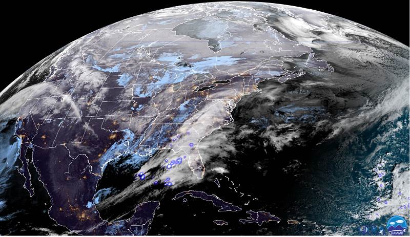
TODAY: Intervals of morning sun, then lots of clouds. A high in the mid-30s. South winds 10 to 15 mph in the afternoon.
TONIGHT: Cloudy. Mixed precipitation transitioning to rain. Watch for slick icy spots. Temperatures holding in the low 30s. East to southeast breeze 10 mph.
SATURDAY: Cloudy & breezy. Periods of rain…moderate at times in the morning. A high 40 to 45. Easterly winds 10 mph but stronger western Green Mountains.
Looking further ahead…
SATURDAY NIGHT: Occasional rain or rain showers…changing to wet snow showers higher terrain. Temperatures in the low 40s falling sharply overnight to around 32.
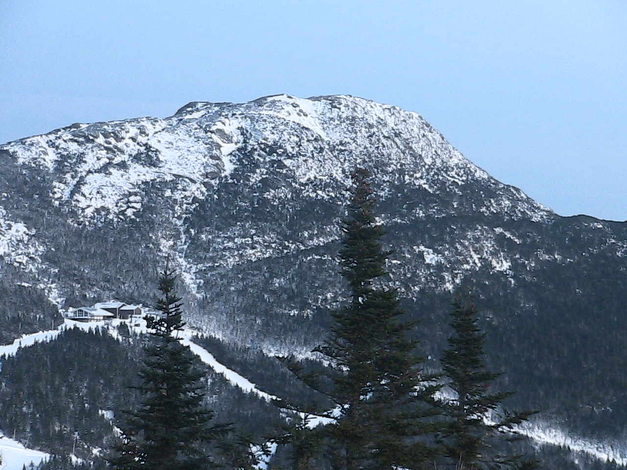
SUNDAY: Mostly cloudy. Blustery to windy. Chance for accumulating snow or snow showers especially central and northern Green Mountains. A high 32 to 35. Gusty west to northwest winds to 40 mph.
MONDAY: Partly sunny. A low around 15. A high in the mid 20s.
TUESDAY: Gray. Chance for snow accumulation mixed with sleet and freezing rain across southern areas. A low near 15. A high around 25.
Average lows 15 to 20, average highs 30 to 35.
RH/12-13-19[end]
