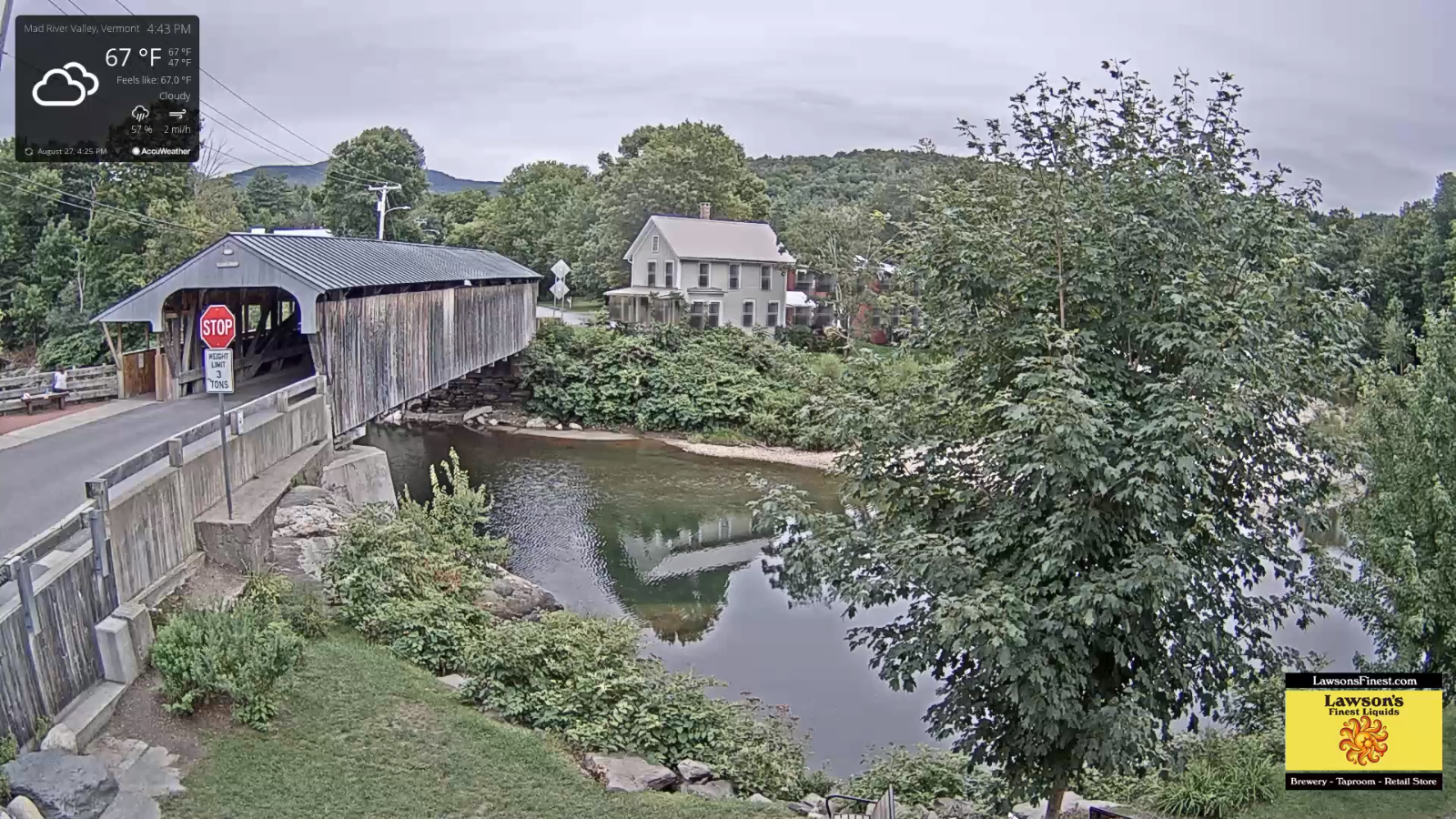
TONIGHT: Mainly cloudy. A little bit muggy. A low in the upper 50s. Southeast breeze 10 mph.
TOMORROW: Clouds, mixed with few intervals or breaks of sun & breezy. Widely scattered showers mainly southern areas. Muggier, with a high near 70. South breeze 10 to 25 mph.
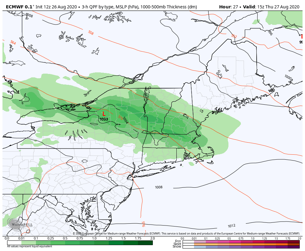
WEDNESDAY NIGHT: Mostly cloudy. A rising chance for evening showers and thunderstorms with locally heavy downpours. A low upper 50s to around 60. South breeze 10 mph sifts to northwesterly after midnight.
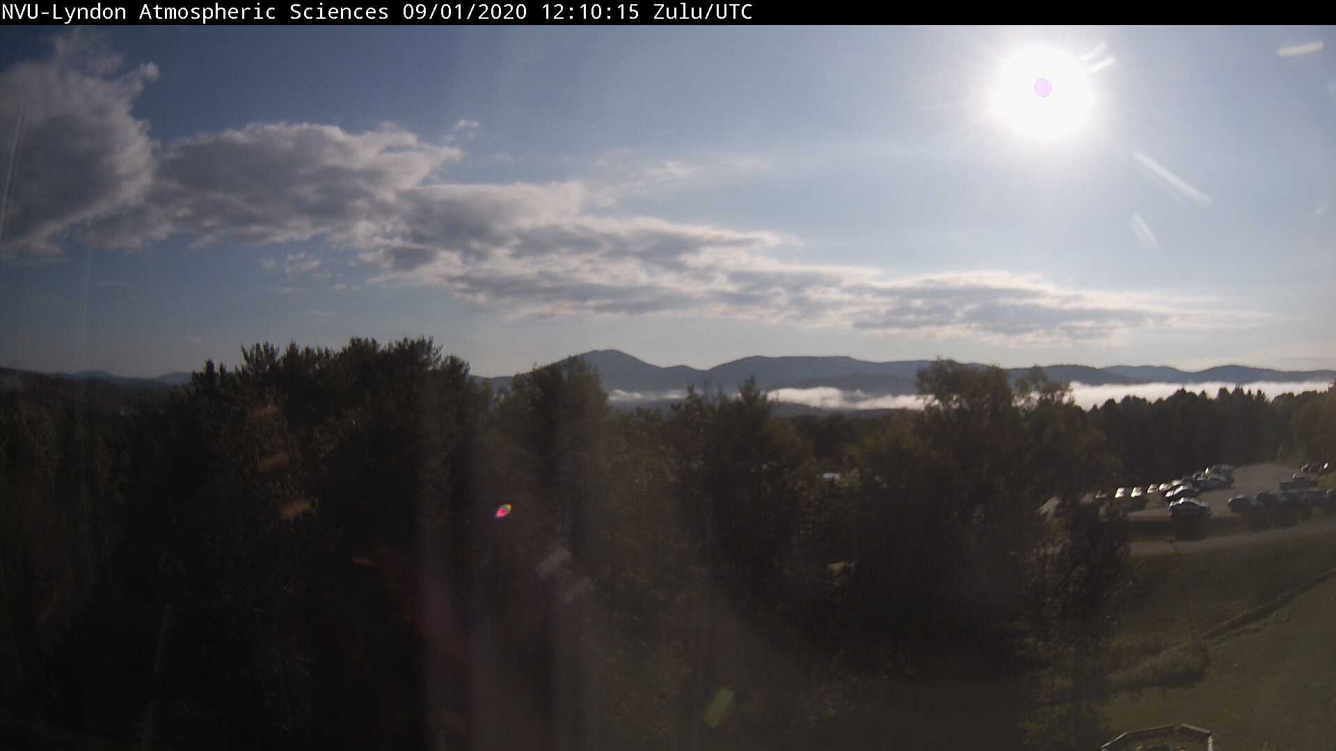
THURSDAY: Partly sunny after morning fog. Moderately humid. A high mid to upper 70s. Light southwest winds.
Looking further ahead…
THURSDAY NIGHT: Mostly clear. Patchy valley fog. A low near 60.
FRIDAY: Lots of sunshine. A high 70 to 75.
SATURDAY: Sunshine with some afternoon cloudiness. A low near 50. A high in the mid-60s.
SUNDAY: Mostly sunny with variable high clouds in the afternoon. A low around 45. A high in the mid-70s.
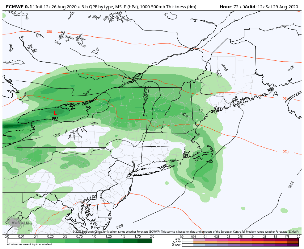
MONDAY LABOR DAY: A chance for morning showers. Otherwise considerable cloudiness. A low near 60. A high in the mid-70s.
Average lows upper 40s to mid-50s, Average highs low to mid-70s.
RH/9-1-20[end]