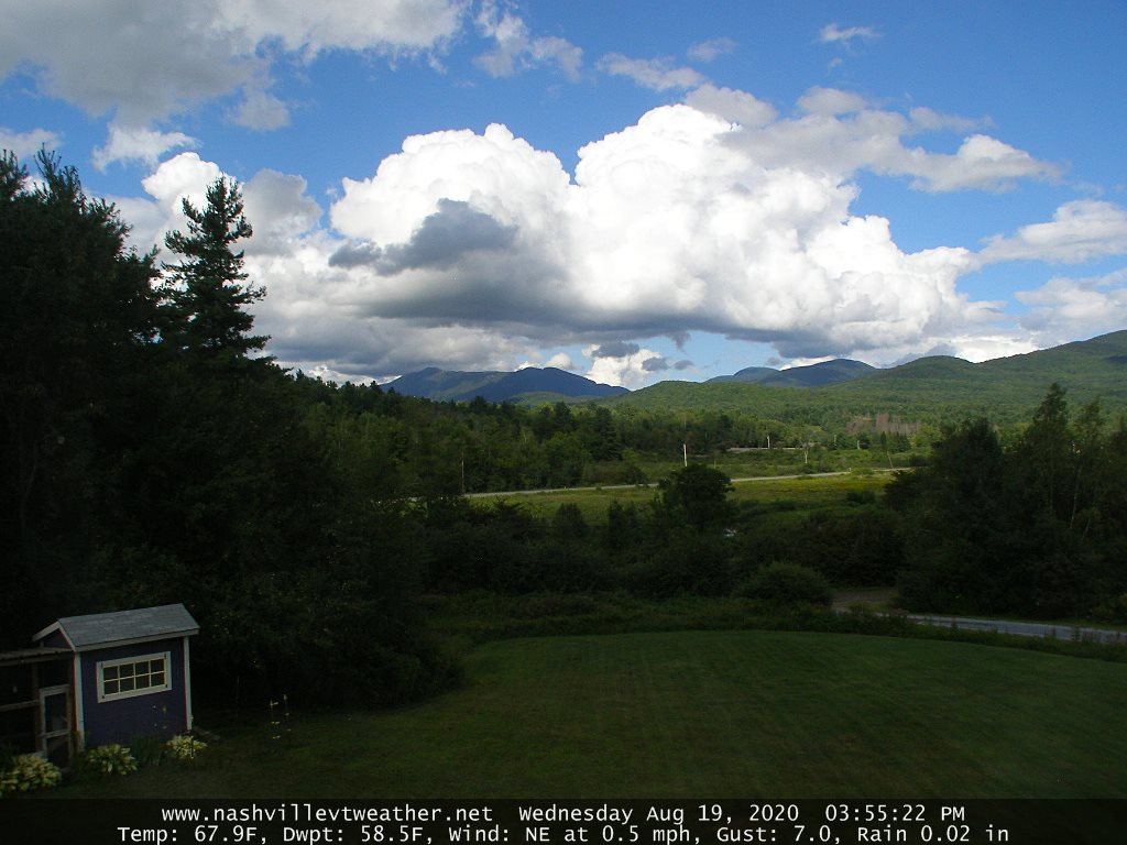
TONIGHT: A few evening clouds otherwise mostly clear. Isolated valley fog. Much cooler and less humid. A low around 50. Northwest winds 10 mph.
TOMORROW: Morning fog, gives way to mostly sunny skies. Rather cool – a touch of autumn. A high 60 to 65. Northwest breeze 10 to 15 mph.

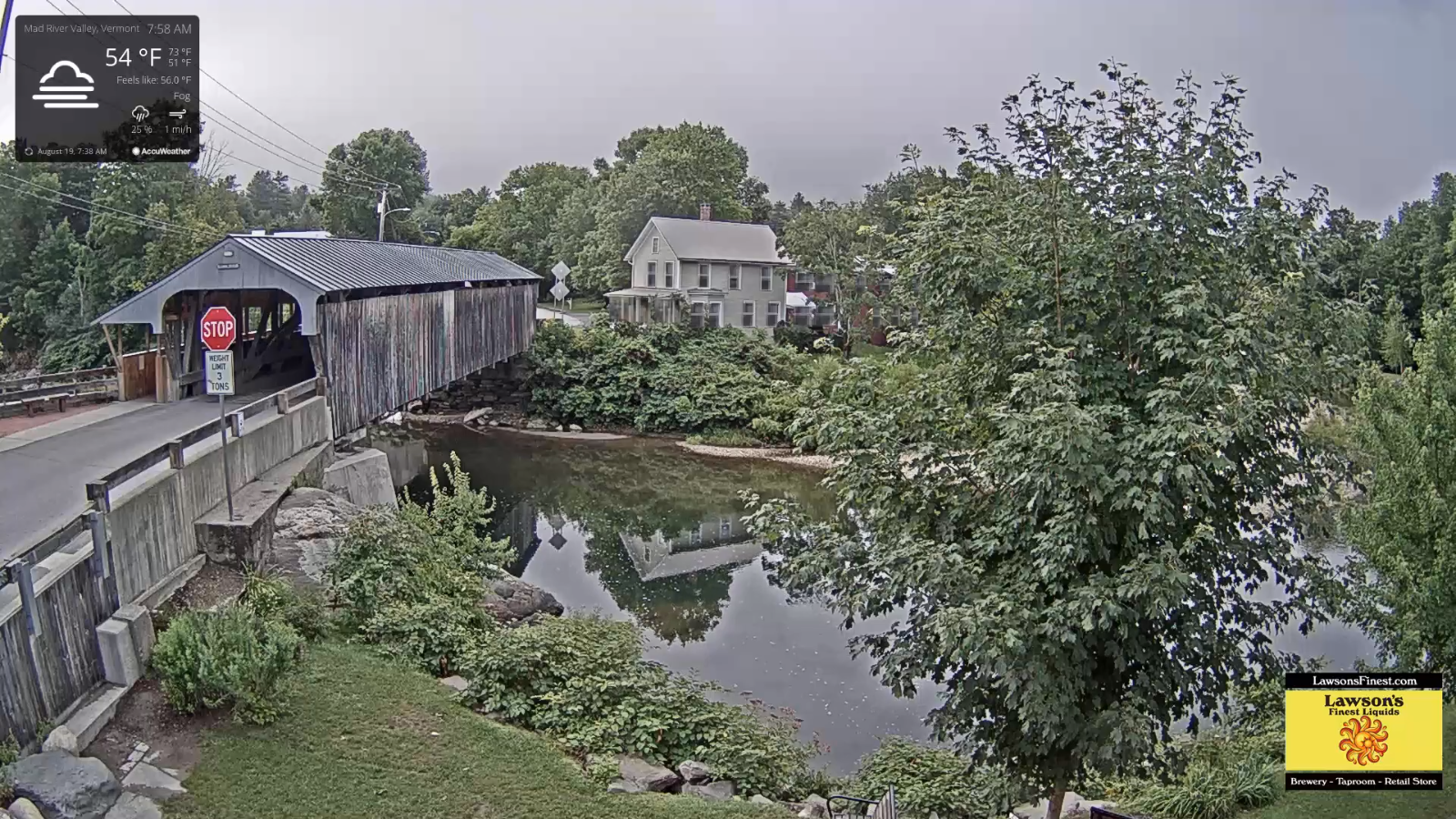
WEDNESDAY NIGHT: Clear for a time then increasing and thickening clouds. A low mid to upper 40s. Light west winds.
THURSDAY: Overcast and gray. Good chance for showers…moderate at times with a thunderstorm or two western and southern areas. On the cool side. A high 60 to 65. Light south to southeast winds.
Looking further ahead…
THURSDAY NIGHT: A few leftover showers, otherwise partly to mostly cloudy. A low around 55.
FRIDAY: Clouds mixed with intervals of sun. A high in the low 70s
SATURDAY: Mainly cloudy. Chance of showers and few afternoon thunderstorms. A low in the mid-50s. A high low 70s.
SUNDAY: Morning fog and then lots of sunshine. A low in the mid-50s. A high in the in the upper 60s to near 70.
Average lows 50 to 55, average highs ranging in the mid-70s.
RH/8-25[end]