
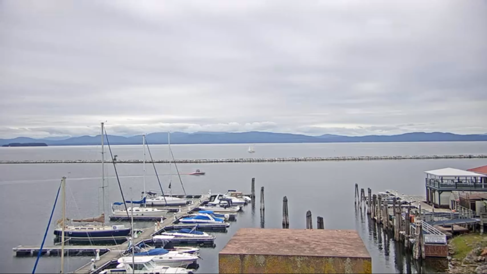
TONIGHT: Mostly cloudy patchy valley fog. A low around 50. Light winds.
TOMORROW: Morning clouds giving way to partial afternoon sunshine. A high around 70. Northwest breeze 10 mph.
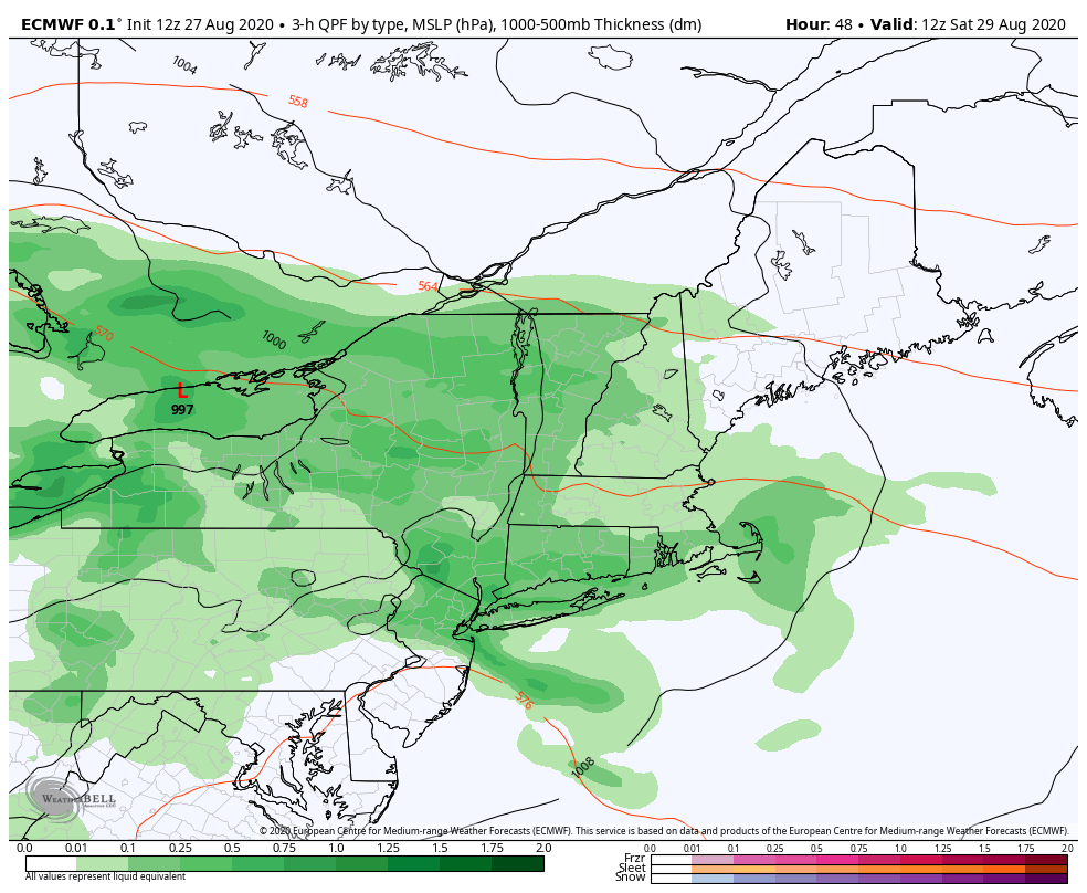
FRIDAY NIGHT: Clouding up. Showers likely after midnight. A low 50 to 55. Light winds.
SATURDAY: Gray skies. Showers likely with embedded thunderstorms…especially southern areas in the afternoon. Cool. A high near 65. Southeast breeze 10 mph.
Looking further ahead…
SATURDAY NIGHT: A chance for lingering showers then mostly clear overnight. A low in the mid-50s.
SUNDAY: Fog gives way partly sunny skies. A high in the mid to upper 60s.
MONDAY: Morning fog then mostly sunny. A low around 45. A high 60 to 65.
TUESDAY: Morning fog, then filtered sunshine through high clouds. A low around 45. A high around 70.
WEDNESDAY: Mostly cloudy. Chance for showers and possible thunderstorms. A low in the mid-50s. A high mid-70s.
Average lows 50 to 55, average highs ranging in the mid-70s.
RH/8-27[end]
