
TONIGHT: Mostly clear this evening, then increasing & thickening cloudiness. A low mid to upper 40s. Light west winds.
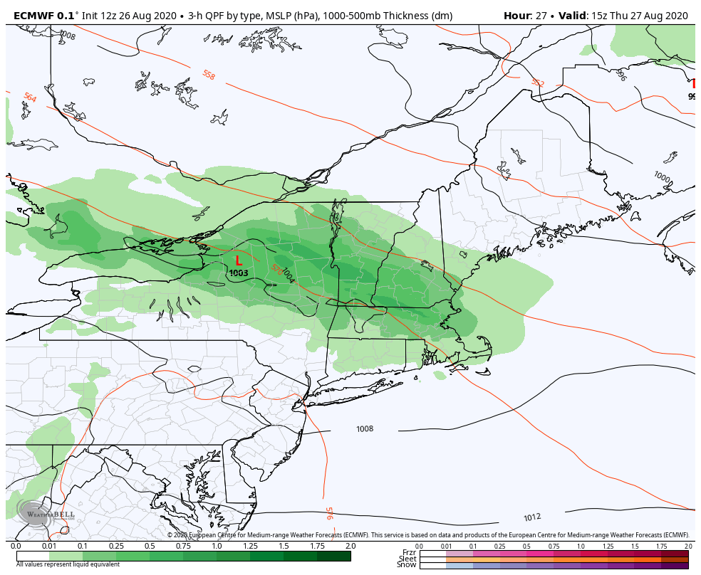
TOMORROW: Cloudy. Showers…moderate at times…central and southern areas especially outside NE. Kingdom through early afternoon. Intervals of sun developing in the afternoon. Cool with a high around 65. Light variable winds.
THURSDAY NIGHT: Partly cloudy. Considerable valley fog. A low in the low 50s. Light winds.
FRIDAY: Clouds mixed with periods of sun. Maybe an early mountain sprinkle. A high in the low 70s. Light west winds.
Looking further ahead…
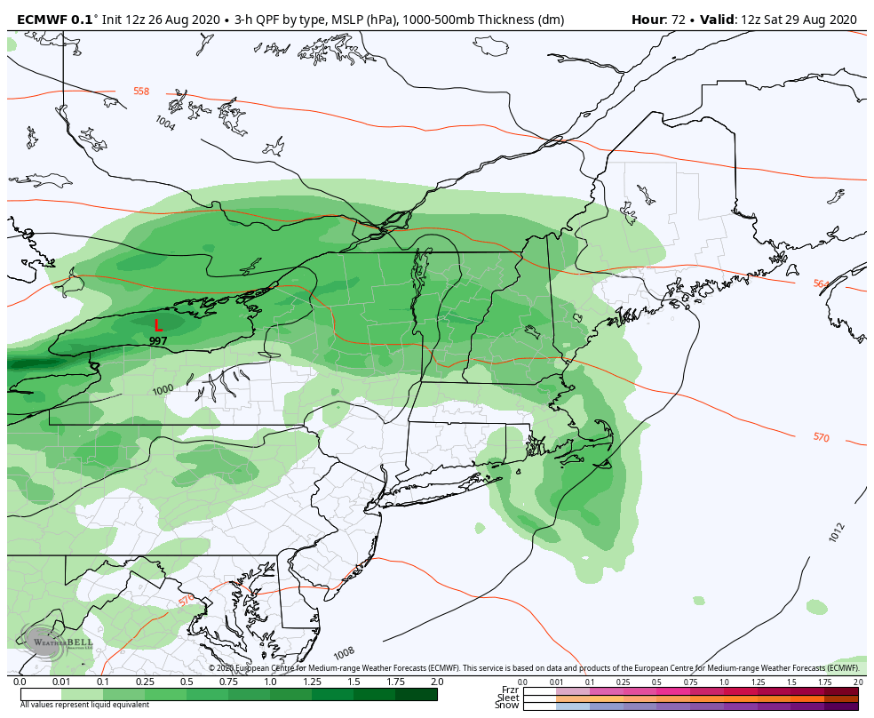
FRIDAY NIGHT: Becoming mainly cloudy. Chance for showers developing late. A low around 55.
SATURDAY: Overcast. Chance of showers & maybe rumble of thunder. A high near 70.
SUNDAY: Fog gives way to mixed sun and & clouds. A low in the mid-50s. A high in the upper 60s.
MONDAY: Morning fog then mostly sunny. A low upper 40s to around 50. A high around 65.
TUESDAY: Morning fog, then sunshine becoming filtered by high cloudiness. A low around 45. A high 70 to 75.
Average lows 50 to 55, average highs ranging in the mid-70s.
RH/8-26[end]
