TONIGHT: Mostly clear and fully moonlit with increasing clouds toward daybreak. A low around 15 to 20. Southeast breeze 10 mph overnight.
‘Full Worm Moon” Saturday afternoon 1:48 PM
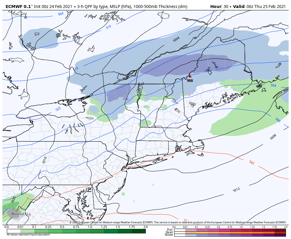
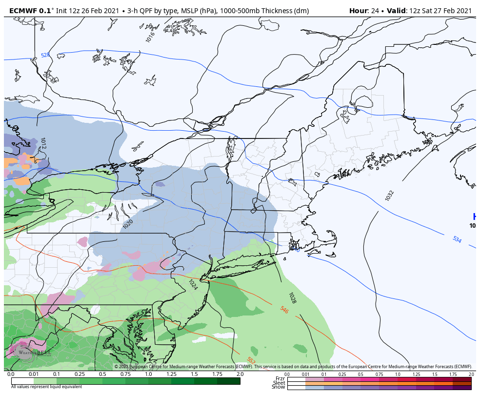
TOMORROW: Clouding up & turning breezy to windy. Periods of wet accumulating snow…arriving mid-morning tapering-off as scattered rain showers late. Accumulations around ½” to 2” A late day high in the upper 30s. South winds 10 to 20 mph but stronger in the Champlain Valley.
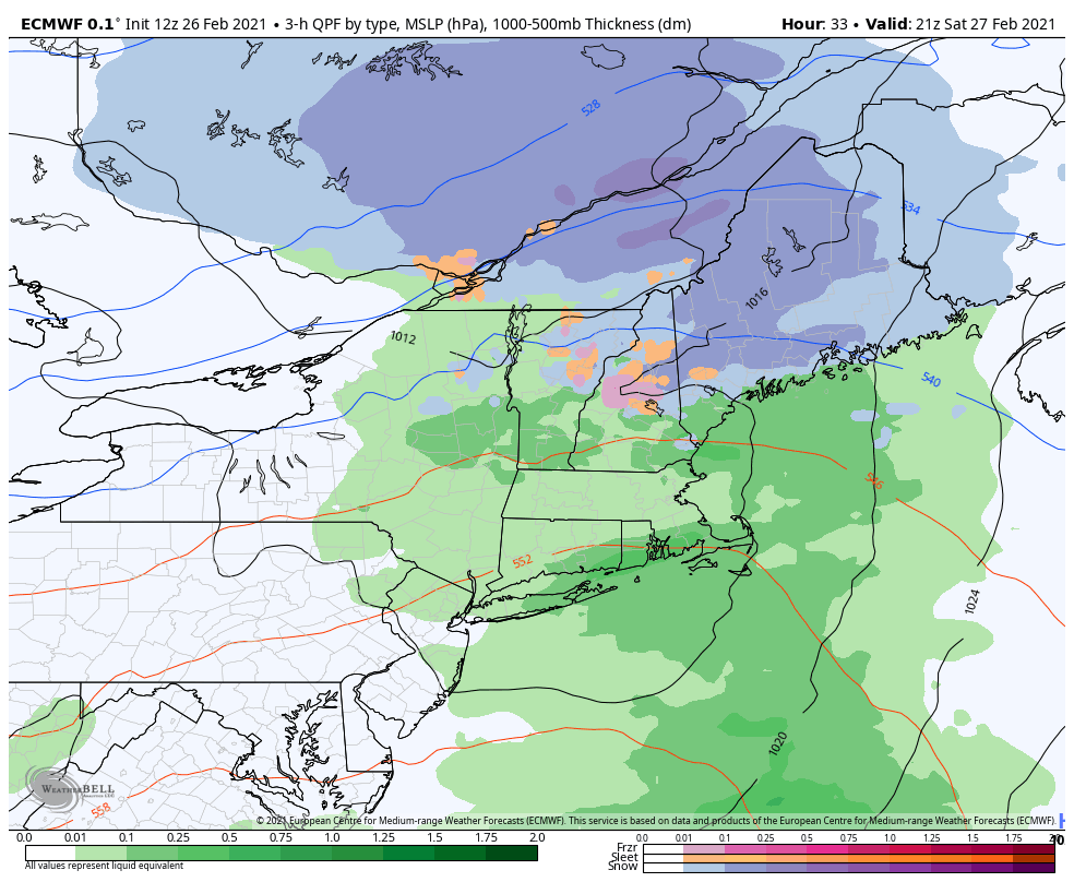
SATURDAY NIGHT: A leftover rain or snow shower early exiting. Otherwise becoming partly cloudy. A low 25 to 30. West to northwest winds 10 to 20 mph.
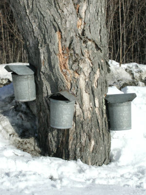
SUNDAY: Considerable high cloudiness with some sunny breaks, thickening up in the afternoon. Milder with a possible sap run. A high pushing toward 45. Light south winds.
Looking further ahead…
SUNDAY NIGHT: Cloudy. A rising chance for a rain showers mixed with wet snow higher terrain. A low around 35.
MONDAY: Considerable cloudiness. Any morning rain or snow showers dry up. Another chance for flurries or light snow develops late. A high in the low 40s.
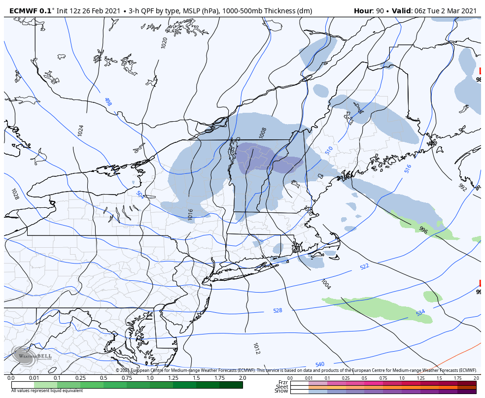
TUESDAY: Blustery to windy with scattered snow showers & a risk for snow squalls early…giving way to lots of afternoon sun. Colder. A morning low around 10. A high around 20.
WEDNESDAY: Mostly sunny giving way to high cloudiness. A low minus 5 to 5 above. A high around 30.
Average low ranging 5 to 15 above, Average highs ranging low to mid 30s
End of Meteorological Winter March 9th… based off local climatology.
RH/2-25category forecast][end]