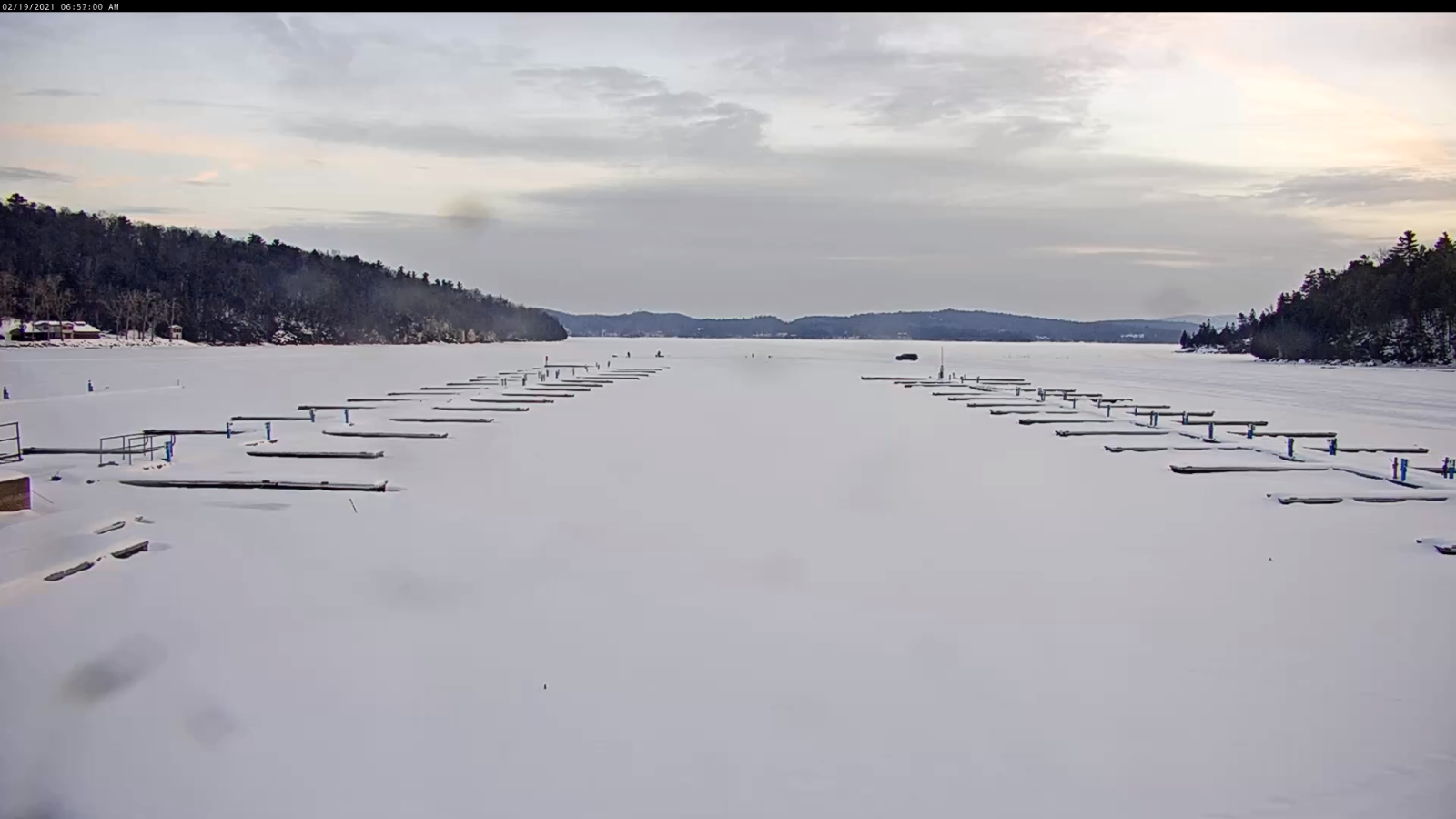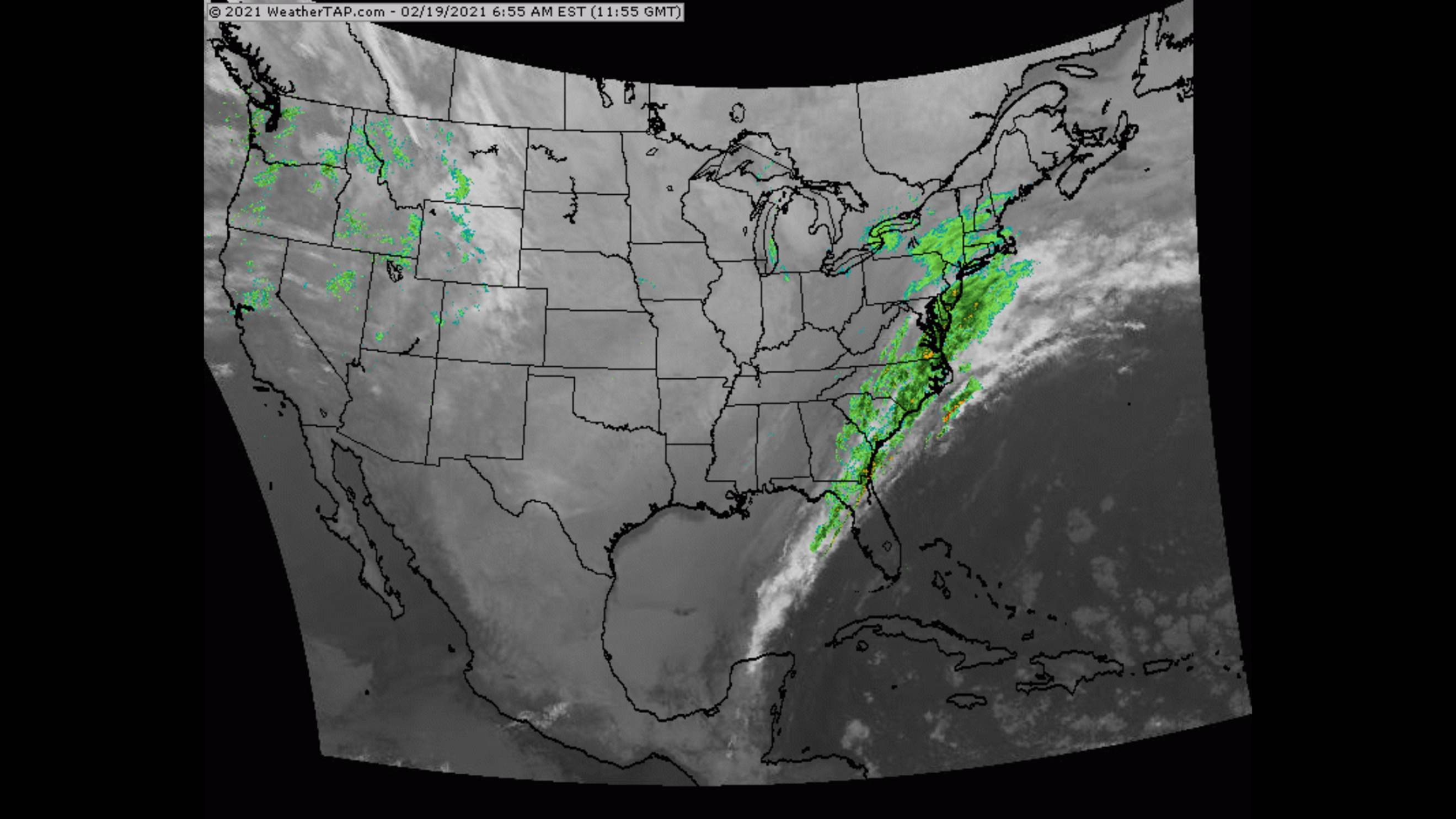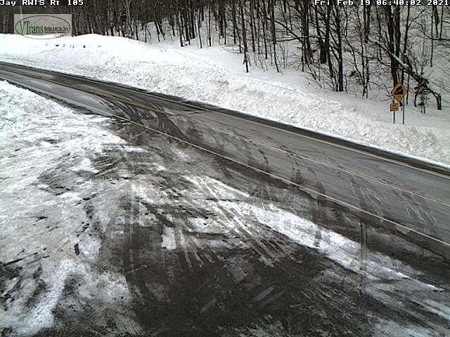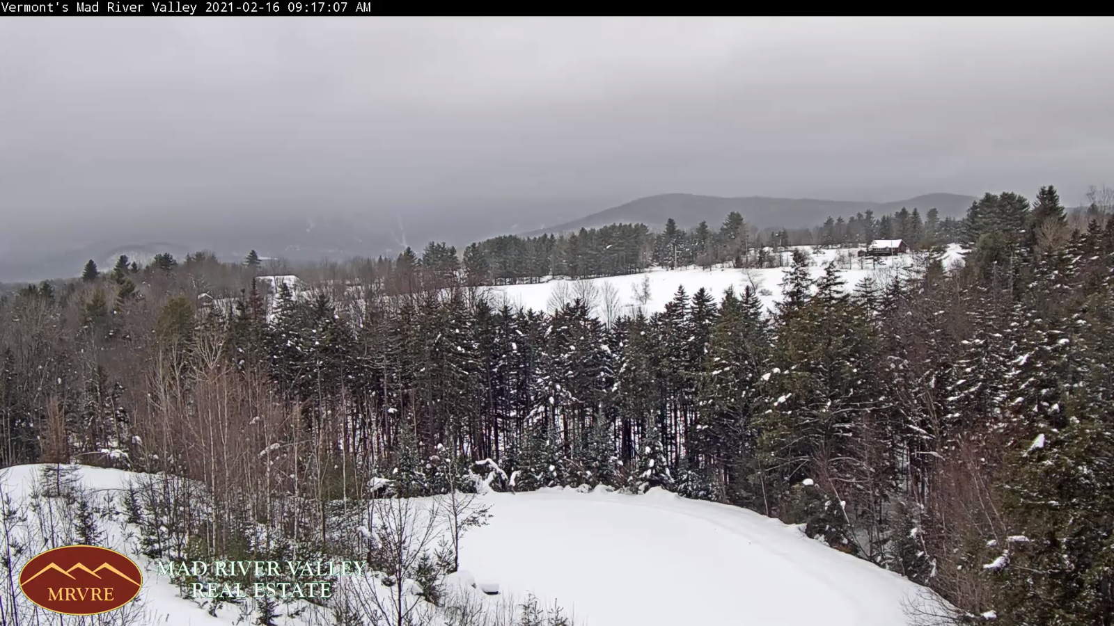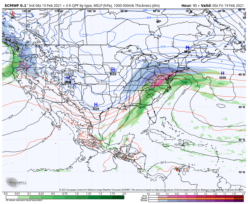
TONIGHT: Cloudy. Scattered snow showers or flurries. Around an inch accumulation. A low around 15. Light south winds becoming northwesterly 10 mph overnight.
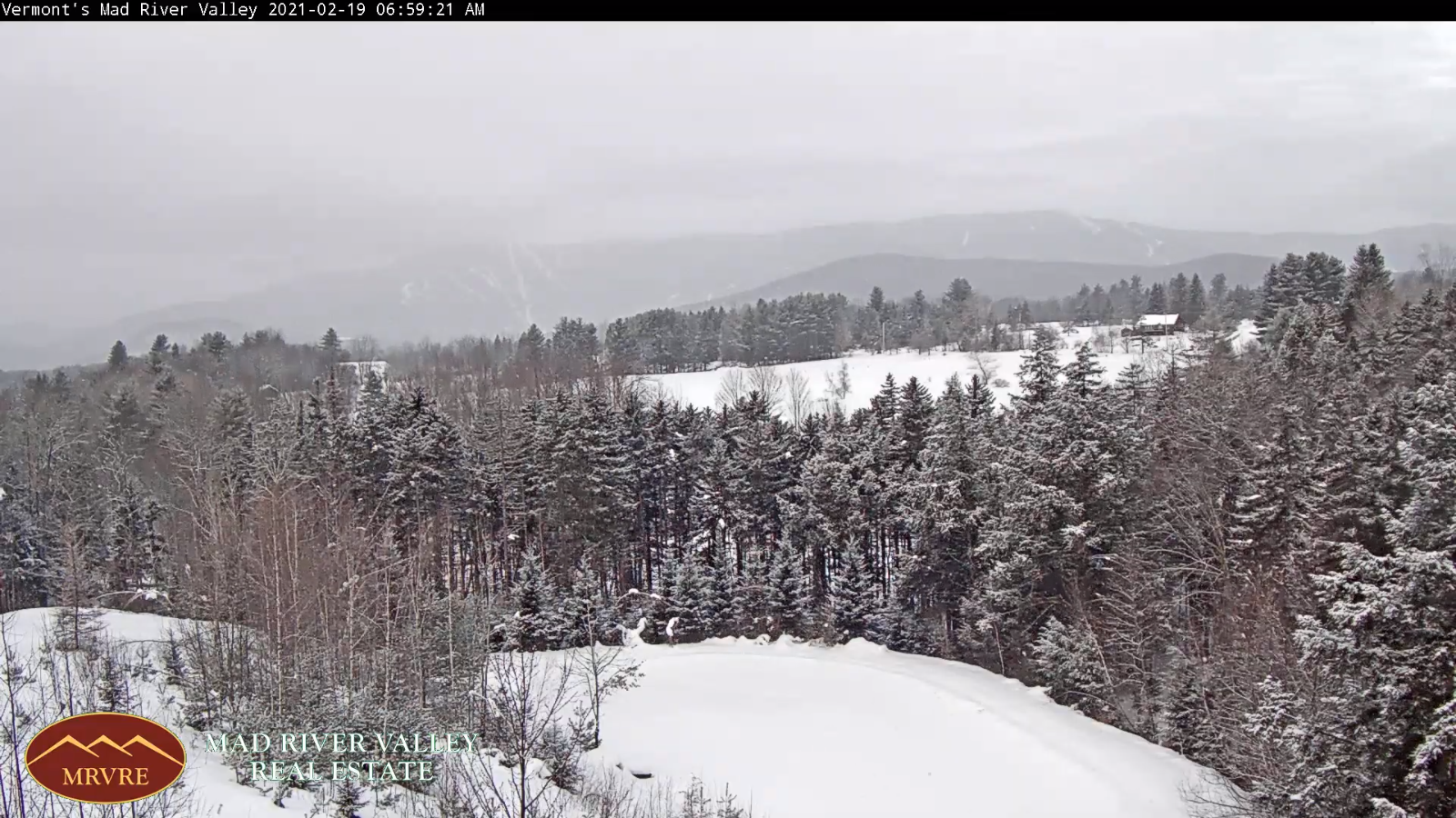
TOMORROW: Scattered mountain snow showers and valley flurries. Dusting to an inch. Breaks of sun possible in the afternoon. A high near 25. Northwest winds 10 mph.
SATURDAY NIGHT: Clouds, with a few stray flurries…drying up with clearing developing toward midnight. Colder. A low 5 below to 5 above. Light northwest winds.
SUNDAY: Bright sun & blue skies after a cold start. A high in the lower 20s. Light northwest winds.
Looking further ahead…
SUNDAY NIGHT: Clear and cold with increasing high clouds after midnight. A low in the single digits.
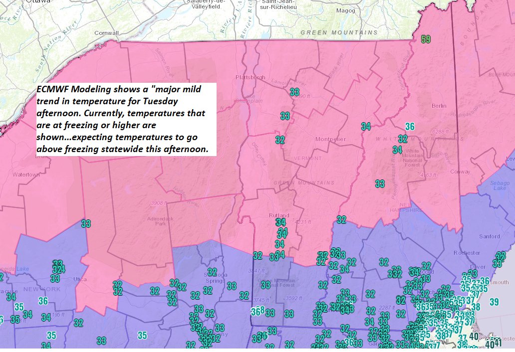
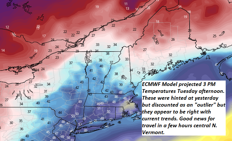
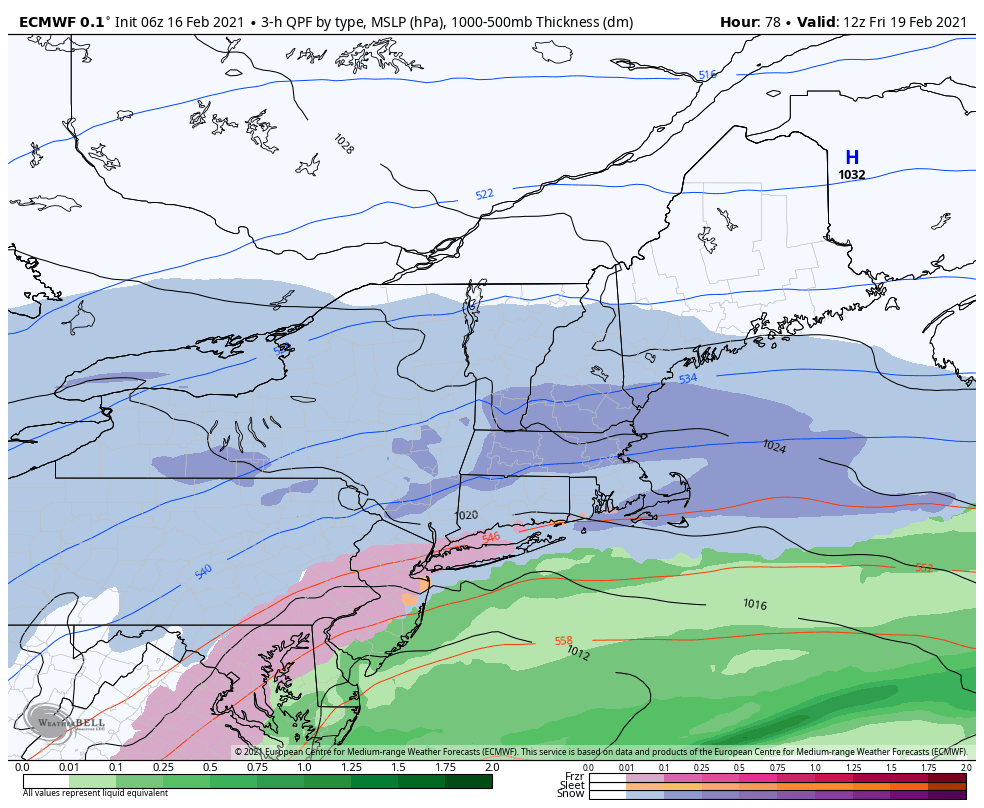
MONDAY: Gray skies & becoming blustery. A rising chance for accumulating snow late. Milder in the afternoon with a high
pushing toward 30.
TUESDAY: Lots of clouds. Scattered flurries drying up. A low near 25. A high around 35.
WEDNESDAY: Chance for morning flurries…and again later in the day. Otherwise mainly gray. A low in the upper 20s.
A high mid-30s.
Average low ranging mid-single digits to mid-teens, Average highs 30 to 35.
End of Meteorological Winter March 9th… based off local climatology.
RH/2-19category forecast][end]