
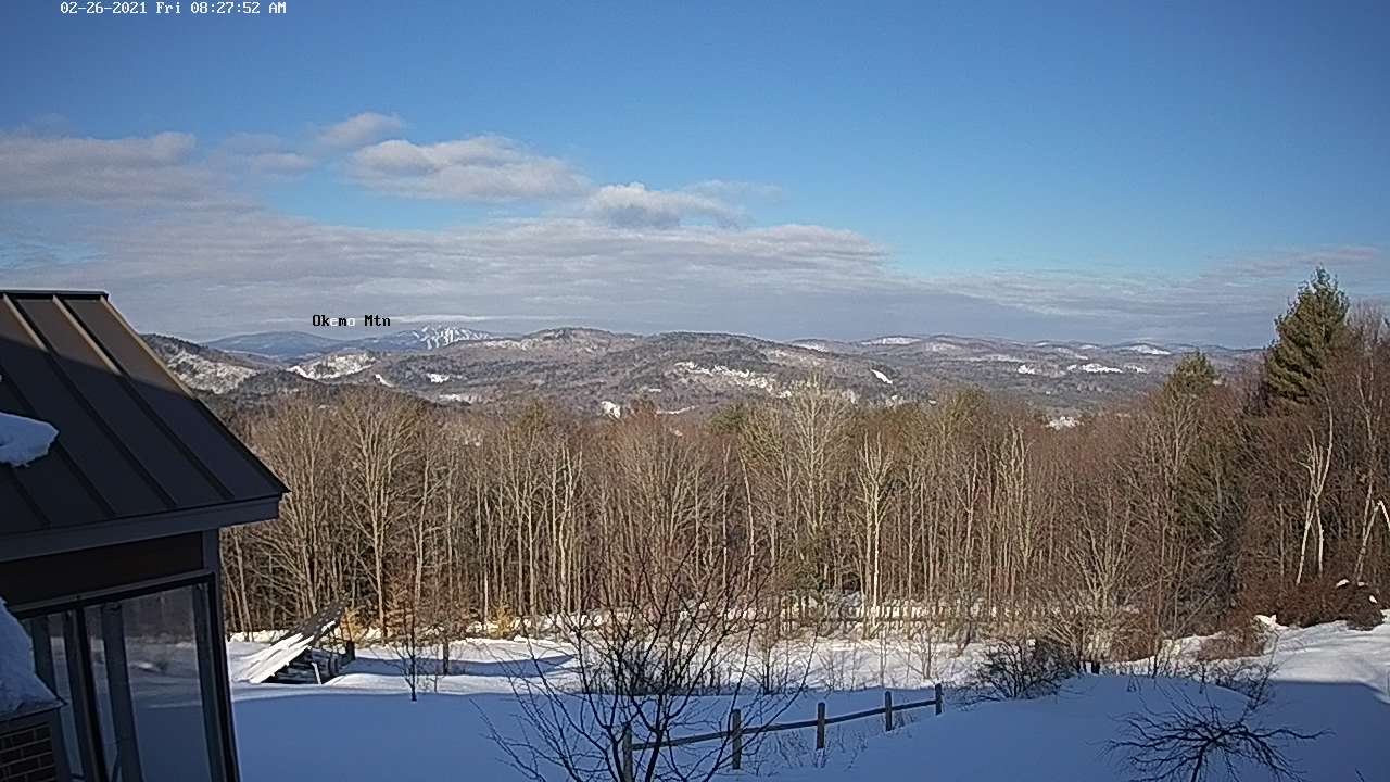
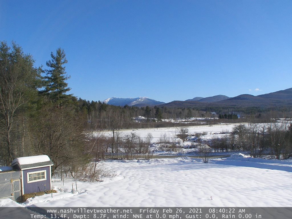
TODAY: Pick of the week. A beauty after a frigid start. Bright sunshine & blue skies. A high mid-20s to near 30. Light west winds.
TONIGHT: Mostly clear and fully moonlit with increasing clouds toward daybreak. A low around 15. South breeze 10 mph.
‘Full Worm Moon” Saturday 1:48 PM
SATURDAY: Clouding up & turning breezy to windy. Periods of wet accumulating snow briefly moderate for a time late morning early afternoon. Snow showers taper-off as scattered rain showers later in the afternoon. Accumulations ranging about 1 to 2 inches locally up 3” Green Mountain summits. A late day high 35 to 40. South winds 10 to 20 mph but stronger in the Champlain Valley.
Looking further ahead…
SATURDAY NIGHT: A leftover rain or snow shower early exiting. Otherwise becoming partly cloudy. A low 25 to 30.
SUNDAY: Considerable high cloudiness with some sunny breaks. Milder in the afternoon with a possible sap run. A high 40 to 45.
MONDAY: Chance for rain showers mixed with wet snow higher terrain.Partly to mostly cloudy. A low in the low to mid 30s. A high in the low 40s.
TUESDAY: Blustery with scattered mountain flurries…giving way to lots of afternoon sun. Colder. A morning low around 10. A high around 20.
WEDNESDAY: Mostly sunny giving way to high cloudiness. A low minus 5 to 5 above. A high around 30.
Average low ranging 5 to 15 above, Average highs ranging low to mid 30s
End of Meteorological Winter March 9th… based off local climatology.
RH/2-25category forecast][end]
