
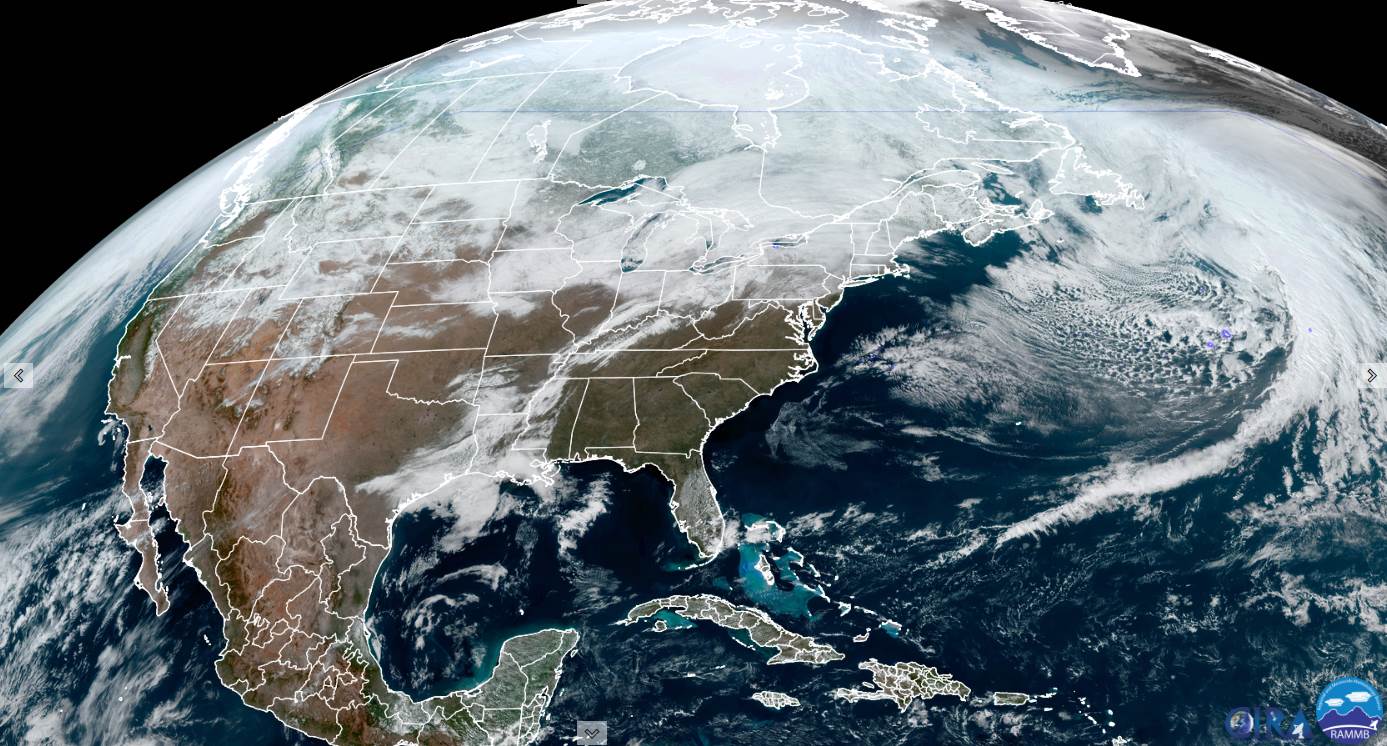
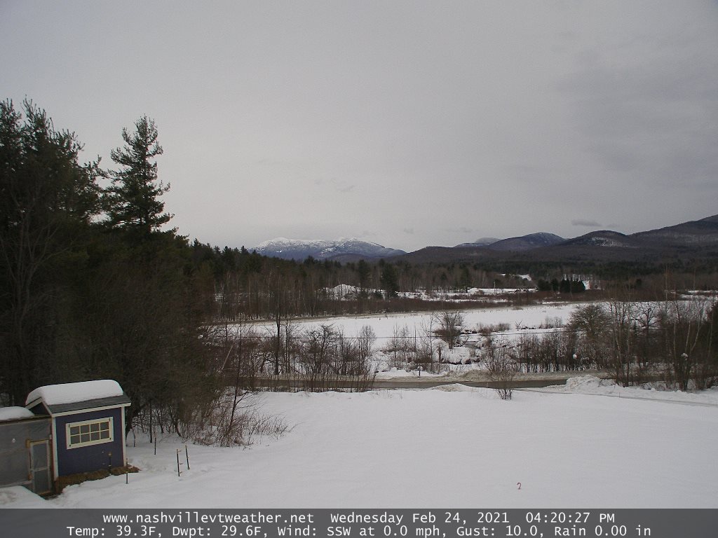
TONIGHT: Mostly cloudy, blustery unsettled. Scattered rain/wet snow showers develops later this evening and more prevent overnight. Accumulation a dusting to 1 inch mainly Green Mountain Resorts. Mild this evening…turning colder overnight with a low 25 to 30. Southwest breeze shifts to northwesterly and picks up to 10 to 25 mph.
TOMORROW: Frequent mountain snow showers and valley flurries northern areas early. Minor additional accumulation. Otherwise clouds give to partial late day sun. Blustery & colder. Temperatures in the mid to upper 20s. Northwest winds 10 to 20 mph.
THURSDAY NIGHT: A few evening clouds…then clear and fully moonlit. Frigid. A low Zero to 5 above. Light northwest winds.
FRIDAY: Pick of the week. A beauty after a frigid start. Bright sunshine & blue skies. A high upper 20s to near 30. Light west winds.
Looking further ahead…
FRIDAY NIGHT: Mostly clear and fully moonlit. A low in the low to mid-teens.
‘Full Worm Moon” Saturday 1:48 PM
SATURDAY: Gray skies, leading to a chance for wet accumulating snow showers changing or mixing rain in the afternoon before exiting late. An early evening high 40 to 45.
SUNDAY: Morning clouds, give way to filtered sun through high clouds. A low around 30. Milder in the afternoon with a possible sap run. A late day high mid to upper 40s.
MONDAY: Partly to mostly cloudy. A low around 35. A high upper 30s to low 40s.
Average low ranging 5 to 15 above, Average highs ranging low to mid 30s
End of Meteorological Winter March 9th… based off local climatology.
RH/2-24category forecast][end]
