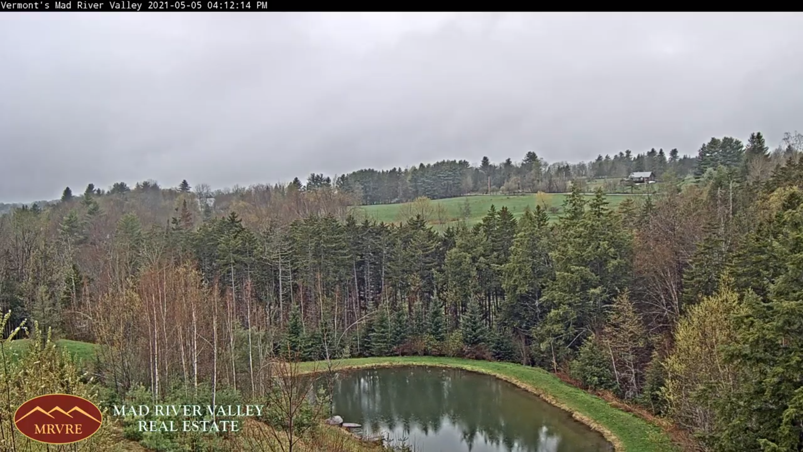
TONIGHT: Partly to mostly cloudy. A low 45 to 50. Light northwest winds diminishing.
TOMORROW: Pick of the week. Lots of sunshine & warm. A high mid-70s to near 80. Light northwest winds.
WEDNESDAY NIGHT: Partly cloudy. A low 50 to 55. Light winds.
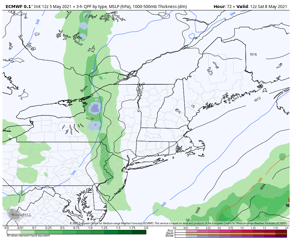
THURSDAY: Clouds with a few breaks of sun. Isolated afternoon showers and thunderstorms. A high in the upper 70s to around 80. Light south winds.
Looking further ahead…
THURSDAY NIGHT: Partly cloudy. A low around 55
FRIDAY: Variable clouds. Isolated to widely scattered late day showers & thunderstorms. A high in the lower 80s.
SATURDAY: Morning clouds gives way to partial afternoon sun. Scattered afternoon showers & thunderstorms. A low upper 50s. A high 75 to 80.
SUNDAY: Variable cloudiness. A chance for showers and afternoon thunderstorms. A low in the 50s. A high near 75.
Average low in the low to mid 40s. Average highs 65 to 70
Start of Meteorological Summer June 6th… Summer peaks approx.. July 22nd based off local climatology.
RH/5-18forecast][end]