
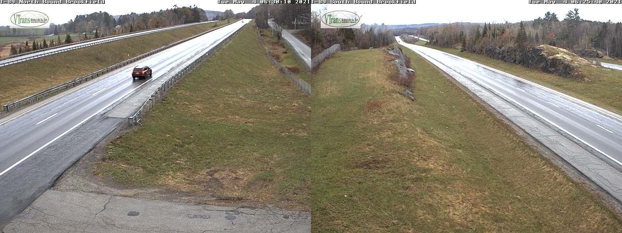
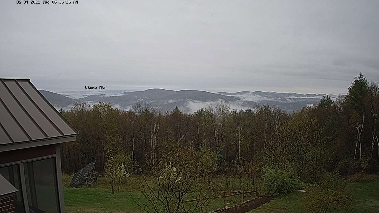
TODAY: A break of sun or two possible, otherwise lots of clouds. Widely scattered sprinkles. A high mid to upper 50s, but low 60s far northern areas. Southeast winds 10 mph.
TONIGHT: Cloudy. Scattered light rain showers. A low mid to upper 40s. Southeast winds 10 to 15 mph.
WEDNESDAY: Overcast. Rain likely…moderate at times. Breezy toward the Champlain Valley. A high in the low to mid 50s. Southeast winds 10 to occasionally 20 mph.
Looking further ahead…
WEDNESDAY NIGHT: Cloudy. Periods of rain likely…tapering to isolated showers overnight. Areas of fog. Lows upper 30s
to around 40.
THURSDAY: Morning clouds with a leftover shower…then increasing afternoon sunshine. Blustery to windy at times and chilly. A high in the low 50s.
FRIDAY: Rising chance for rain showers in the afternoon…possibly mixed with wet snow flakes Green Mountain summits. Patchy valley fog. A low around 32. A high in the upper 40s
SATURDAY: Gray with areas of fog. Chance for lingering rain showers. A low upper 30s to around 40. A high around 45.
SUNDAY: Cloudy. Chance for rain showers. A low 30 to 35. A high low to mid 50s.
Average low upper 30s to mid-40s. Average highs upper 50s to mid-60s.
Start of Meteorological Summer June 6th… Summer peaks approx.. July 22nd based off local climatology.
RH/5-4forecast][end]
