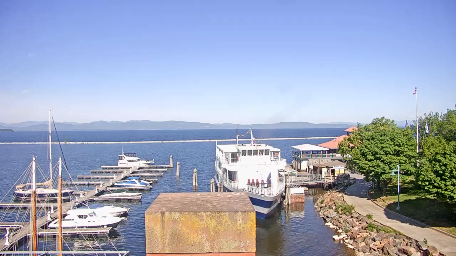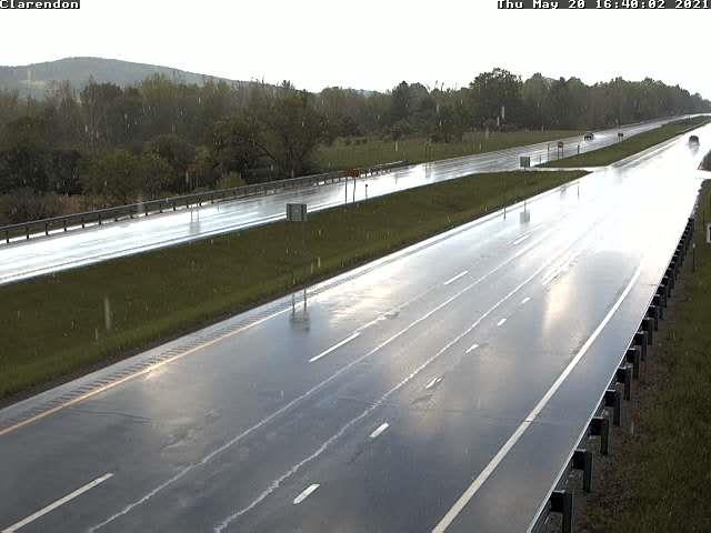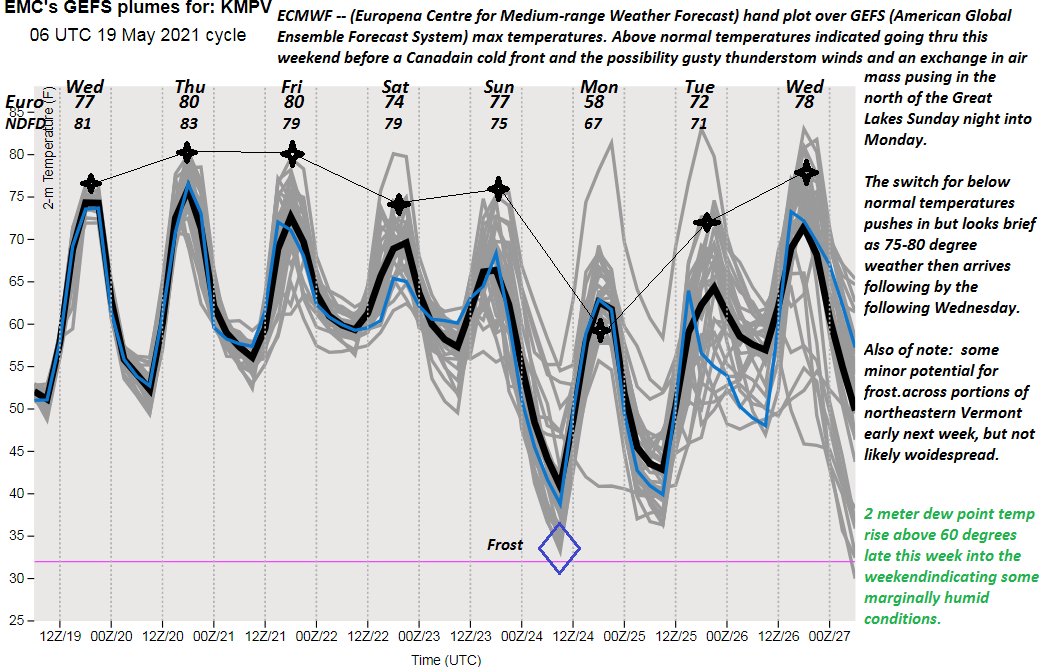
TONIGHT: Partly to mostly cloudy and becoming more muggy. A couple early evening showers northern areas, otherwise dry. A low 60 to 65. Southwest breeze 10 mph, stronger near Lake Champlain.
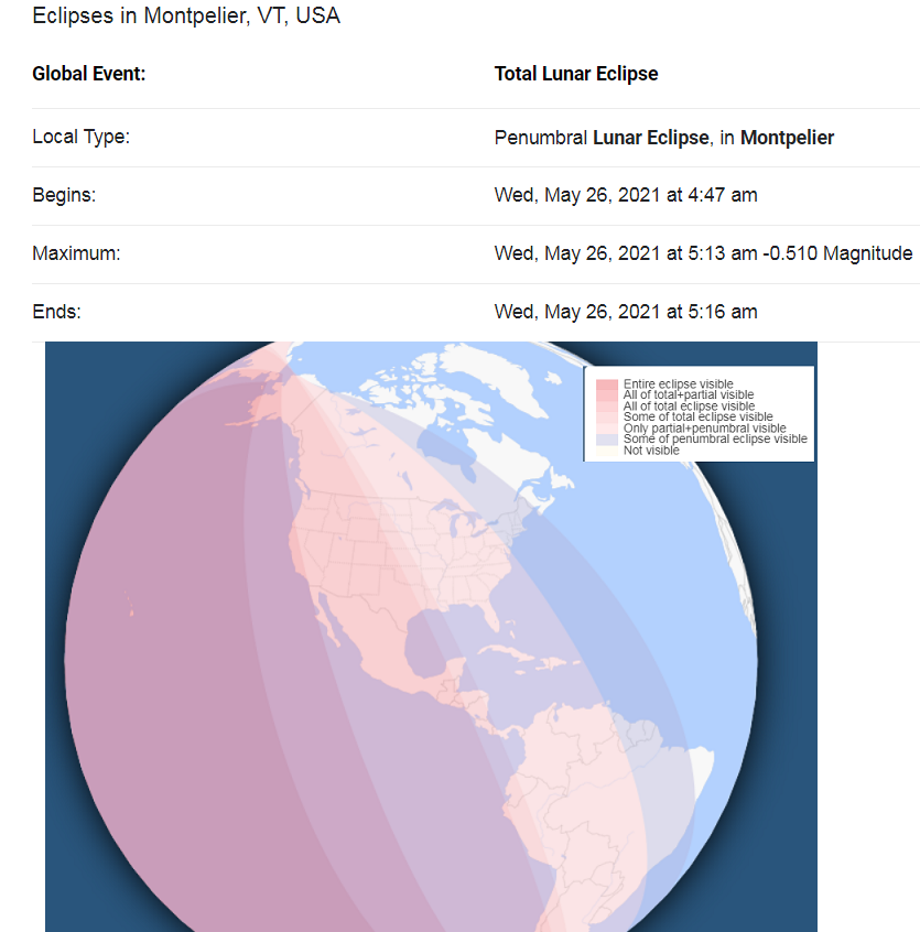
Full Flower Moon Wednesday morning 7:14 AM
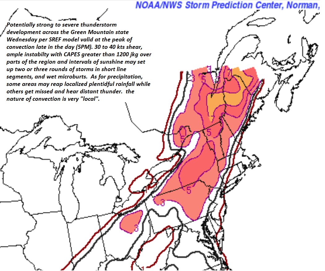
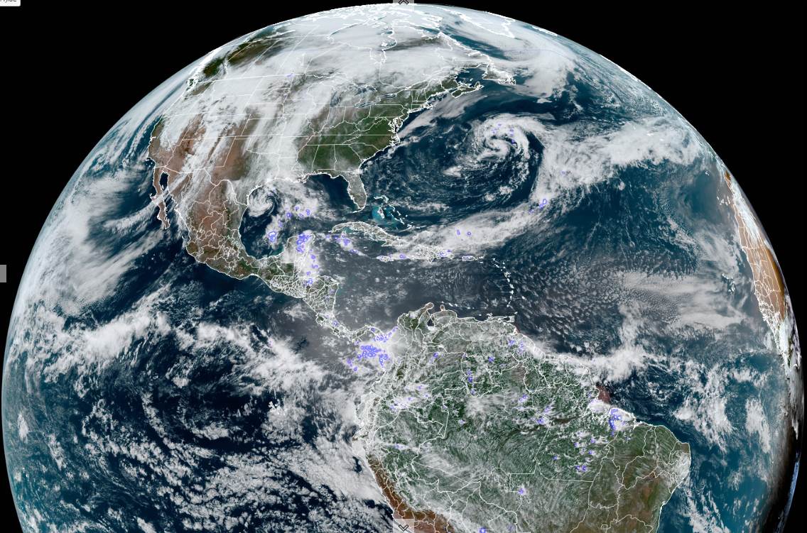
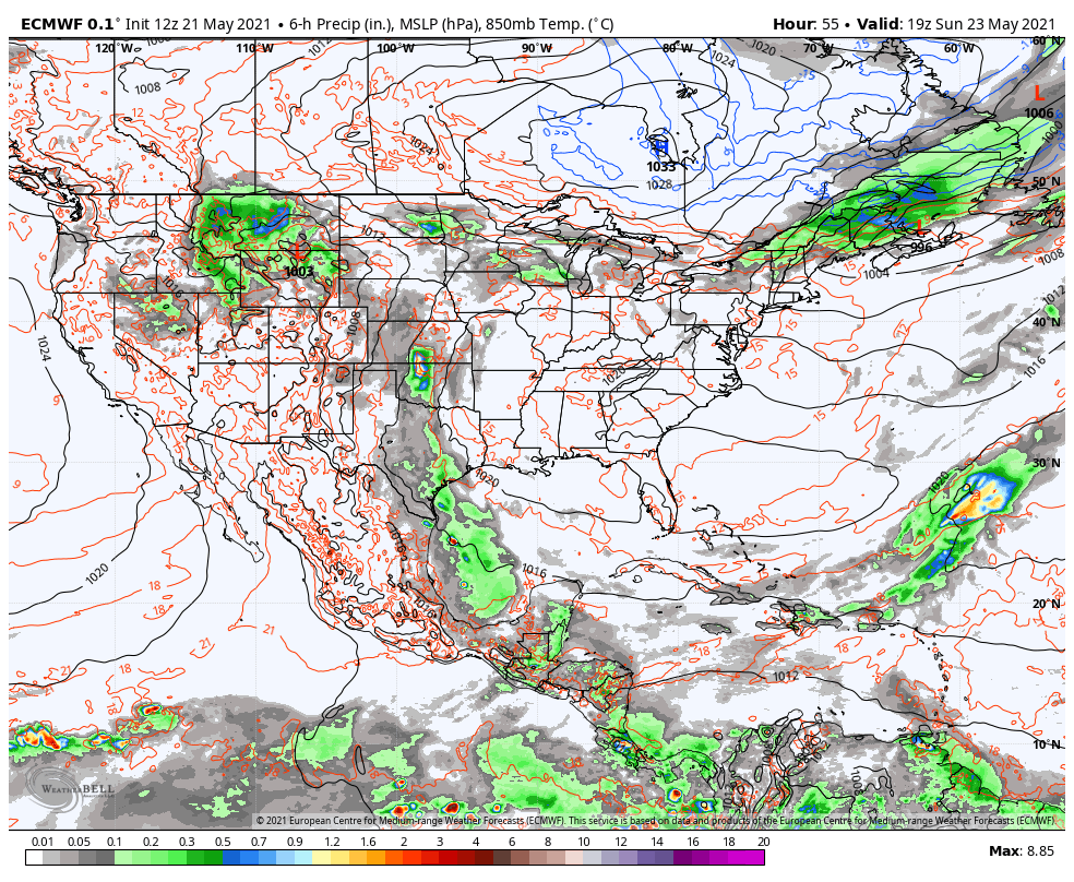
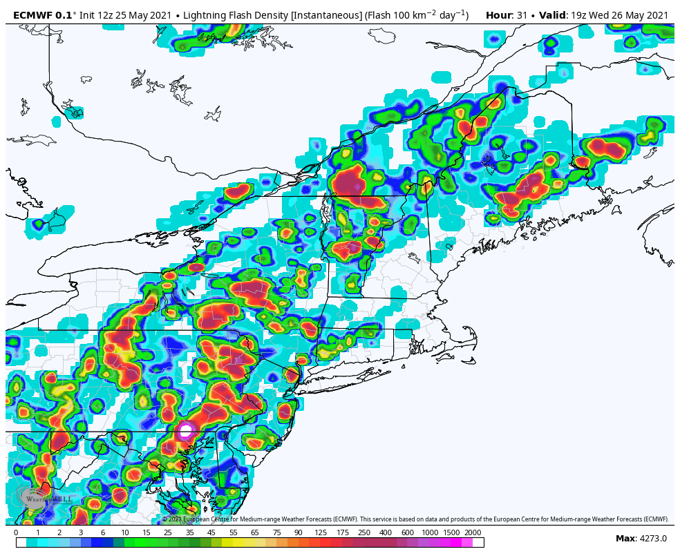
TOMORROW: Partial morning sun then more clouds. Warm and muggy. Showers and thunderstorms likely northern areas, late morning on…spreading south becoming more numerous in the afternoon. Some storms could be strong to locally severe, with gusty winds and hail. Practice lightning safety. A high in the low 80s. Southwest breeze 10 to 20 mph, stronger near Lake Champlain.
WEDNESDAY NIGHT: Evening showers and thunderstorms gradually wind down, then clear and moonlit at times.
Another round of showers toward the morning commute. A low in the mid-50s to around 60. Southwest winds 10 mph shifting to northwest around sunrise.
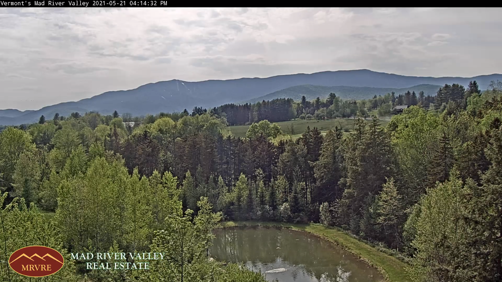
THURSDAY: Morning showers, maybe a rumble of thunder early, otherwise becoming mostly sunny, less humid, cool & blustery at times. A high 60 to 65. Northwest winds 10 to 20 mph
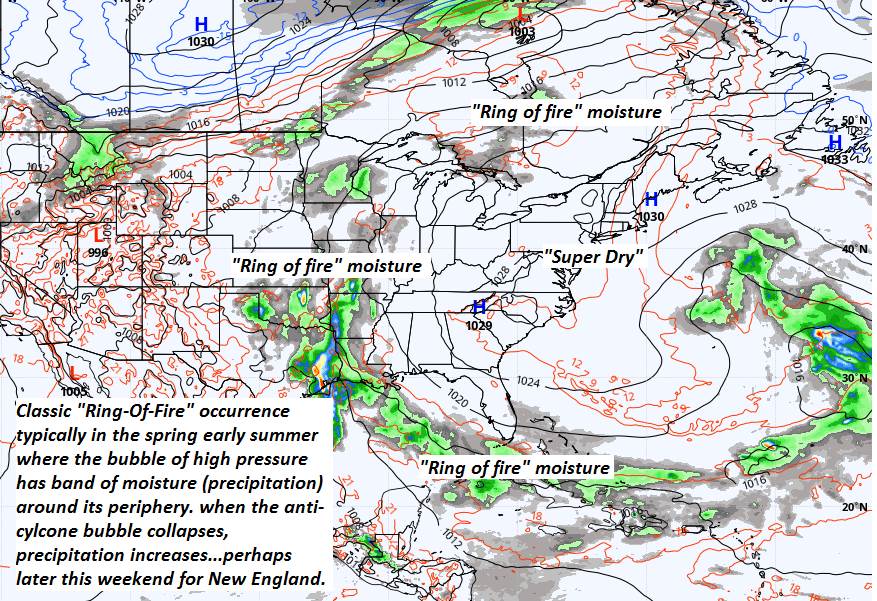
Looking further ahead…
THURSDAY NIGHT: Mostly clear partially moonlit skies gives way high cloudiness. A low near 40.
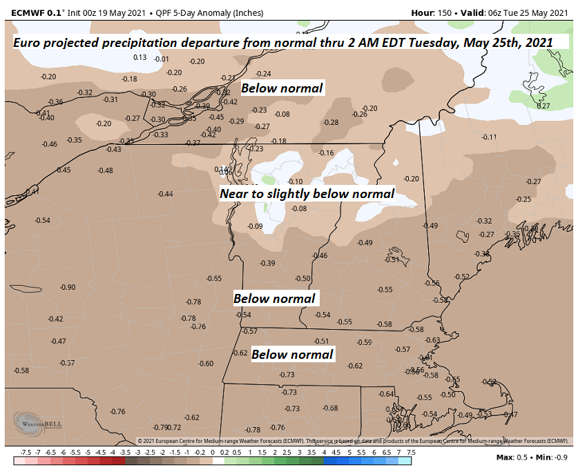
FRIDAY: High cloudiness, but thicker clouds southern areas with a period of showers south of Rutland. Rather cool. A high in the 50s.
SATURDAY: Mostly sunny, gorgeous but remaining rather cool. A morning low 32 to 35 with scattered frost colder hollows. A high around 60.
SUNDAY: Sunshine then some afternoon clouds. Cool. A low in the mid to upper 30s. A high near 65.
MONDAY MEMORIAL DAY OUTLOOK: Sunny. A low in the 40s. A high around 70.
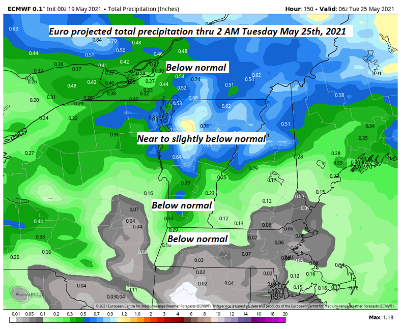
Average low mid-40s to around 50. Average highs upper 60s to lower 70s.
Start of Meteorological Summer June 6th… Summer peaks approx.. July 22nd based off local climatology.
RH/5-25forecast][end]