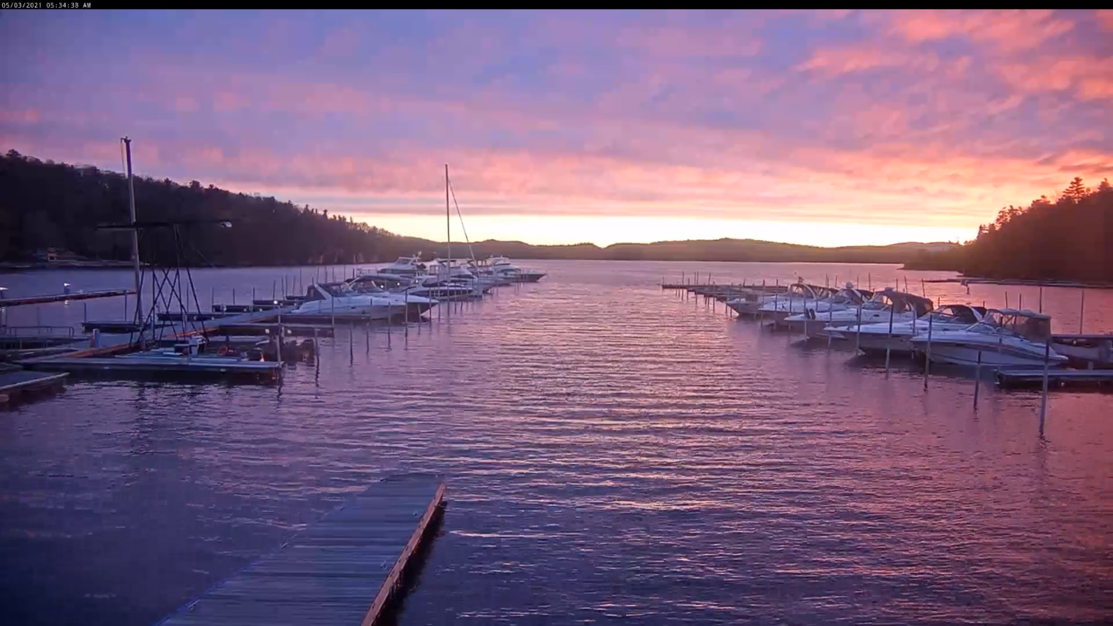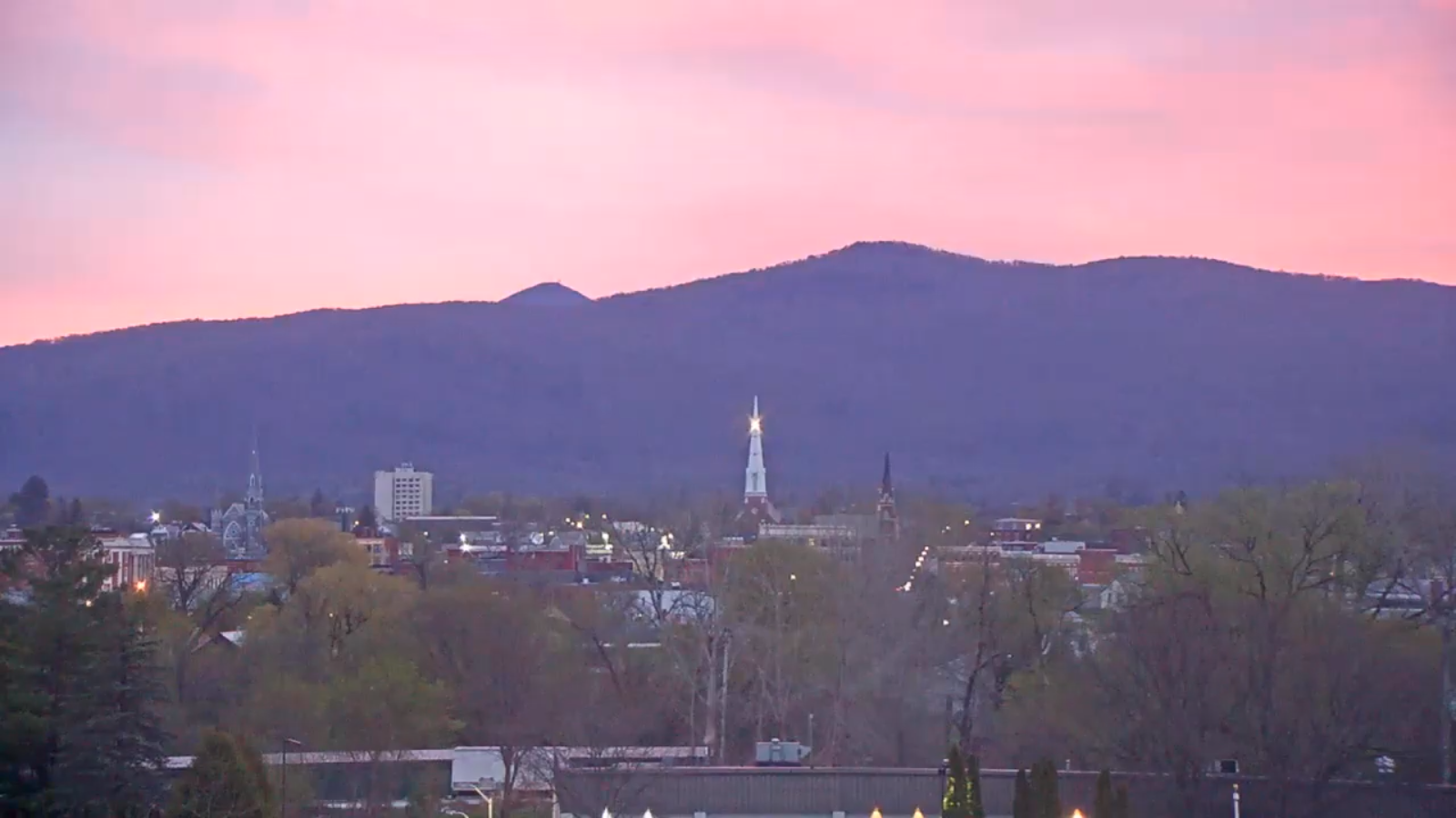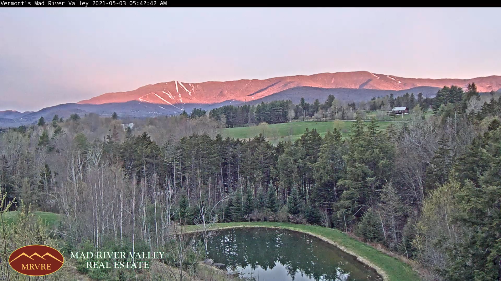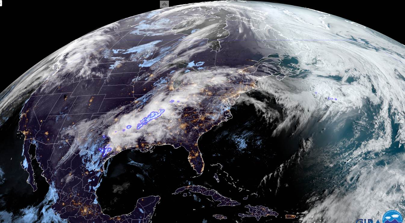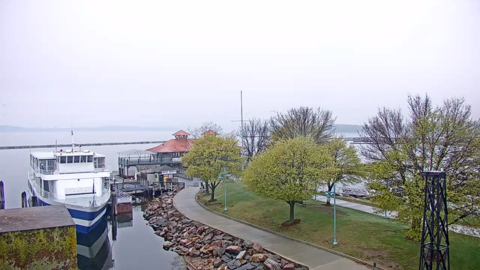
TONIGHT: A few showers south of the Barre-Montpelier area later this evening onward, otherwise cloudy. A low 40 to 45. Light east winds.
TOMORROW: Clouds with a few intervals of afternoon sunshine. A high 60 to 65 but in the mid to upper 50s southern areas. Southeast winds 10 mph.
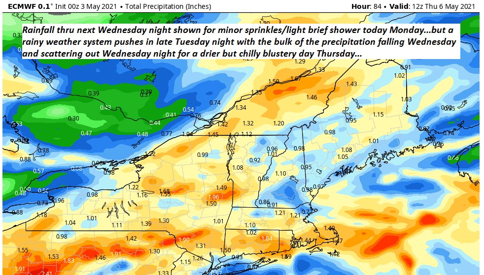
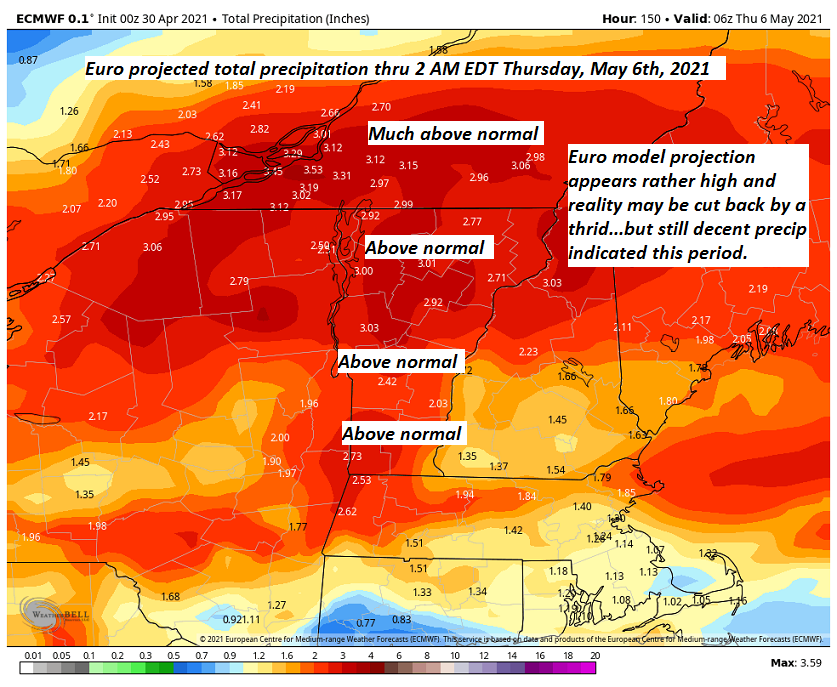
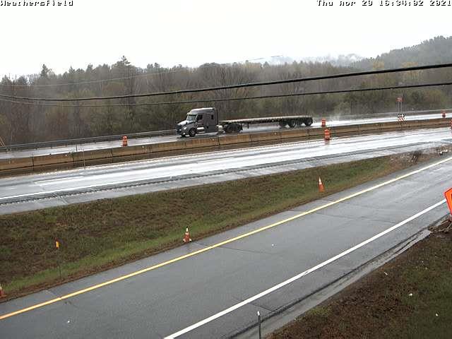
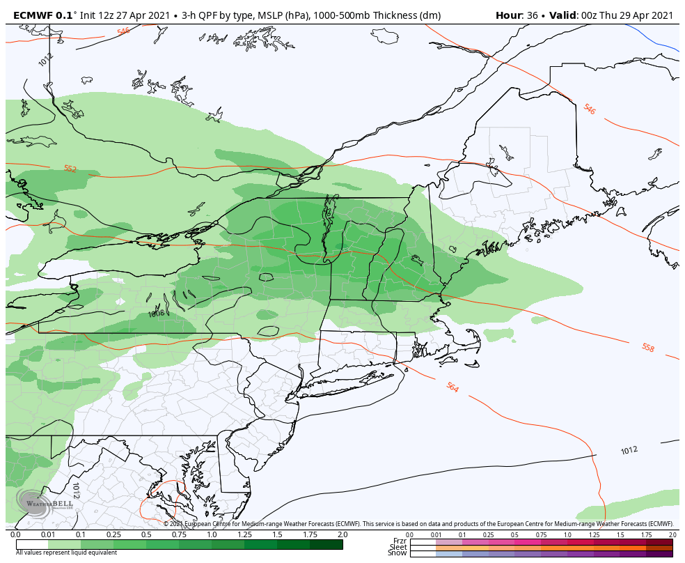
TUESDAY NIGHT: Cloudy. Periods of mostly light rain developing. A low around 45. Southeast winds 10 to 15 mph.
WEDNESDAY: Overcast. Rain likely…moderate at times. Breezy toward the Champlain Valley. A high low to mid 50s but pushing around 60 Champlain valley. Southeast winds 10 to occasionally 20 mph.
Looking further ahead…
WEDNESDAY NIGHT: Cloudy. Good chance for lingering showers tapering off after midnight. Lows 35 to 40
THURSDAY: Clouds mixed periods of afternoon sunshine. Blustery to windy at times and chilly. A high upper 40s to around 50.
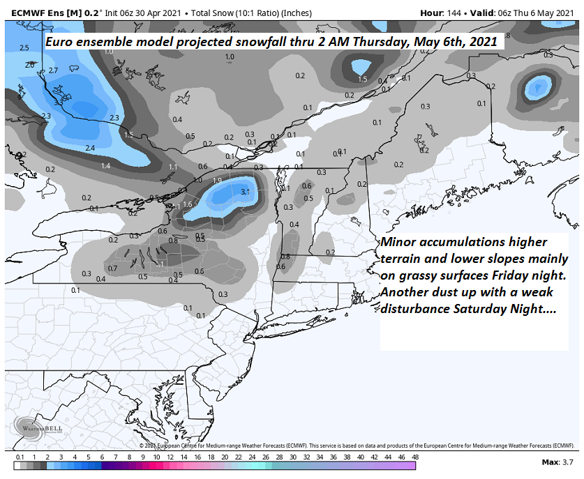
FRIDAY: Rising chance for rain or rain showers in the afternoon…possibly mixed with wet snow flakes higher terrain. A low upper 20s to near 32. A high upper 40s to near 50.
SATURDAY: Gray…chance for lingering showers. A low in the mid to upper 30s. A high 45 to 50.
Average low upper 30s to mid-40s. Average highs upper 50s to mid-60s.
Start of Meteorological Summer June 6th… Summer peaks approx.. July 22nd based off local climatology.
RH/5-3forecast][end]