
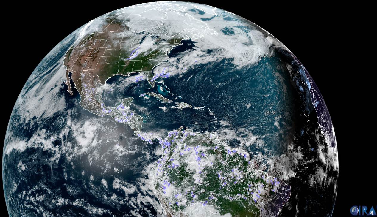
TONIGHT: Mostly clear with patchy frost northern areas. High cloudiness south. A low 30 to 35. Light winds.
TOMORROW: Patchy valley fog early burns off to partial morning sun. Thickening clouds in the afternoon. A high mid to upper 50s. Light winds.
FRIDAY NIGHT: Mostly clear northern areas. Partly cloudy south. A low near 35. East to southeast winds 10 mph.
SATURDAY: Mainly cloudy. Rising chance for afternoon showers southern and western areas. A high around 55. Southeast
winds 10 mph.
Looking further ahead…
SATURDAY NIGHT: Widely scattered light sprinkles or rain showers. Otherwise mostly cloudy. A low 35 to 40.
SUNDAY: Widely scattered showers, otherwise mixed clouds with intervals of afternoon sun. A high near 55.
MONDAY: Gray. Chance for rain or showers especially southern and central areas. A low around 35. A high low to mid 50s.
TUESDAY: Mostly cloudy. Scattered rain showers…possible wet snow flakes mountain summits. A low 35 to 40. Colder with a high just 45 to 50.
Average low upper 30s to mid-40s. Average highs upper 50s to mid-60s.
Start of Meteorological Summer June 6th… Summer peaks approx.. July 22nd based off local climatology.
RH/5-6forecast][end]
