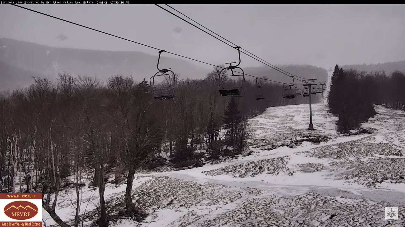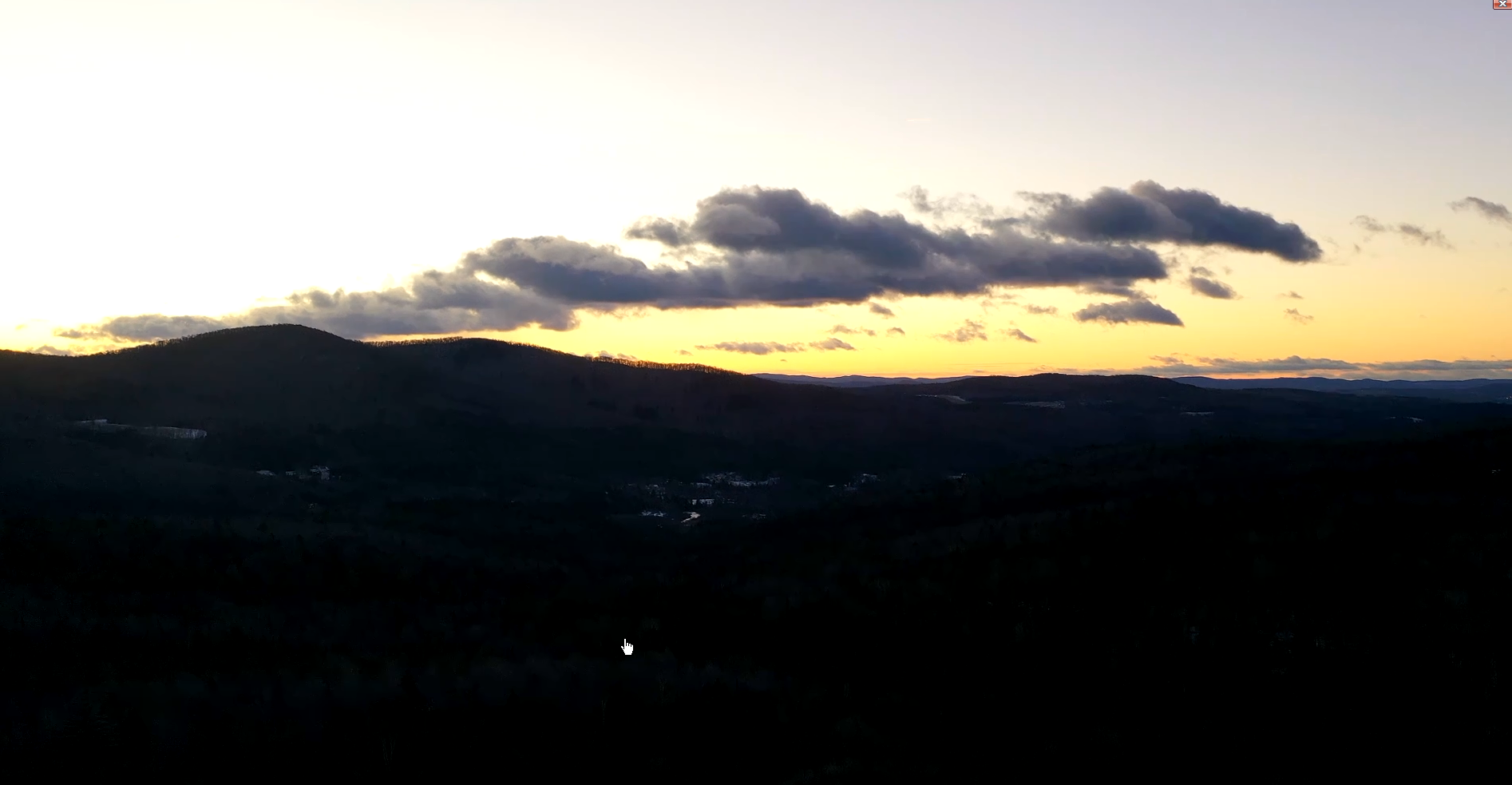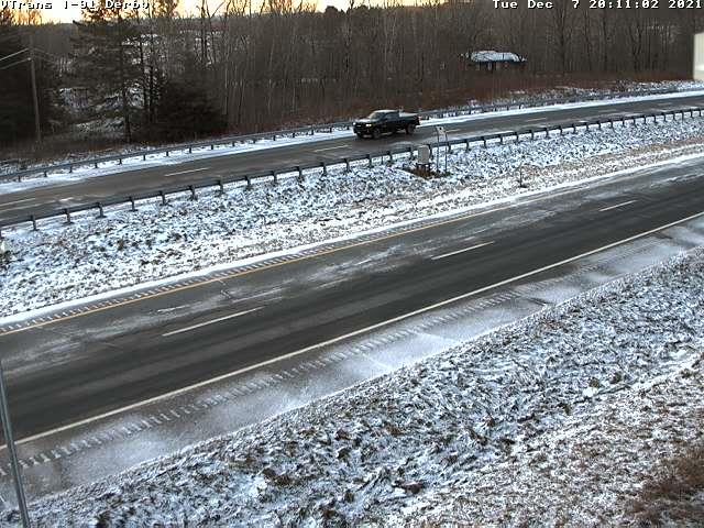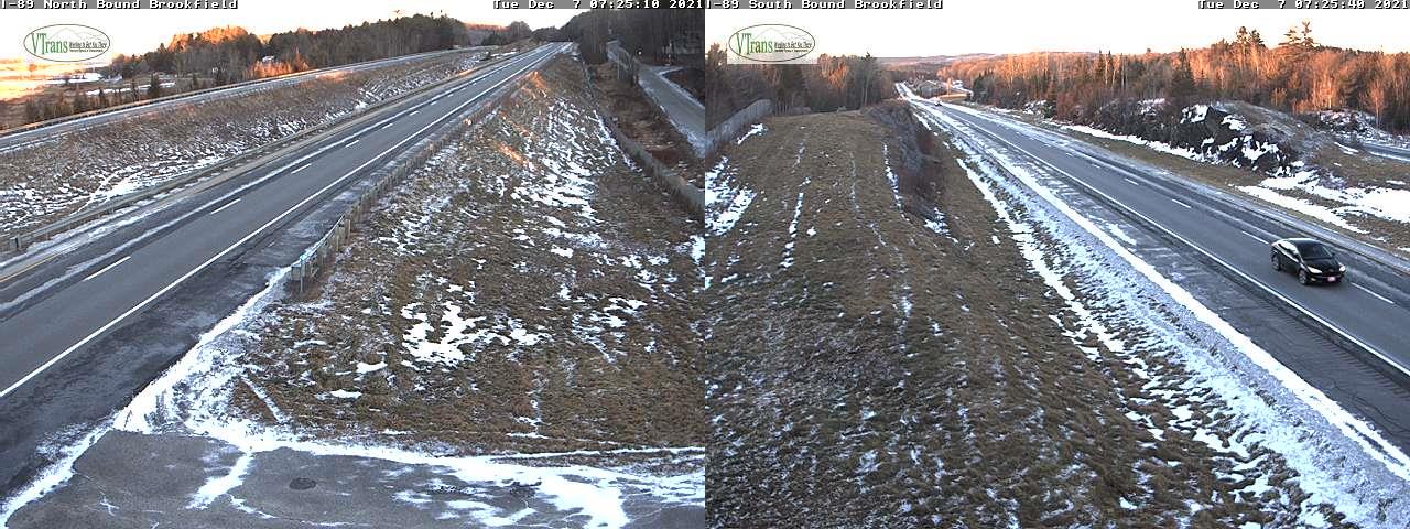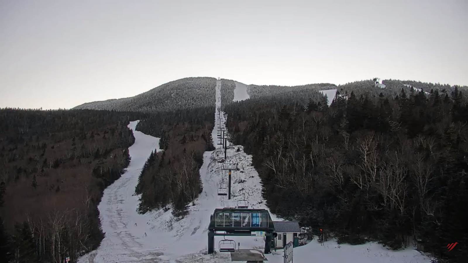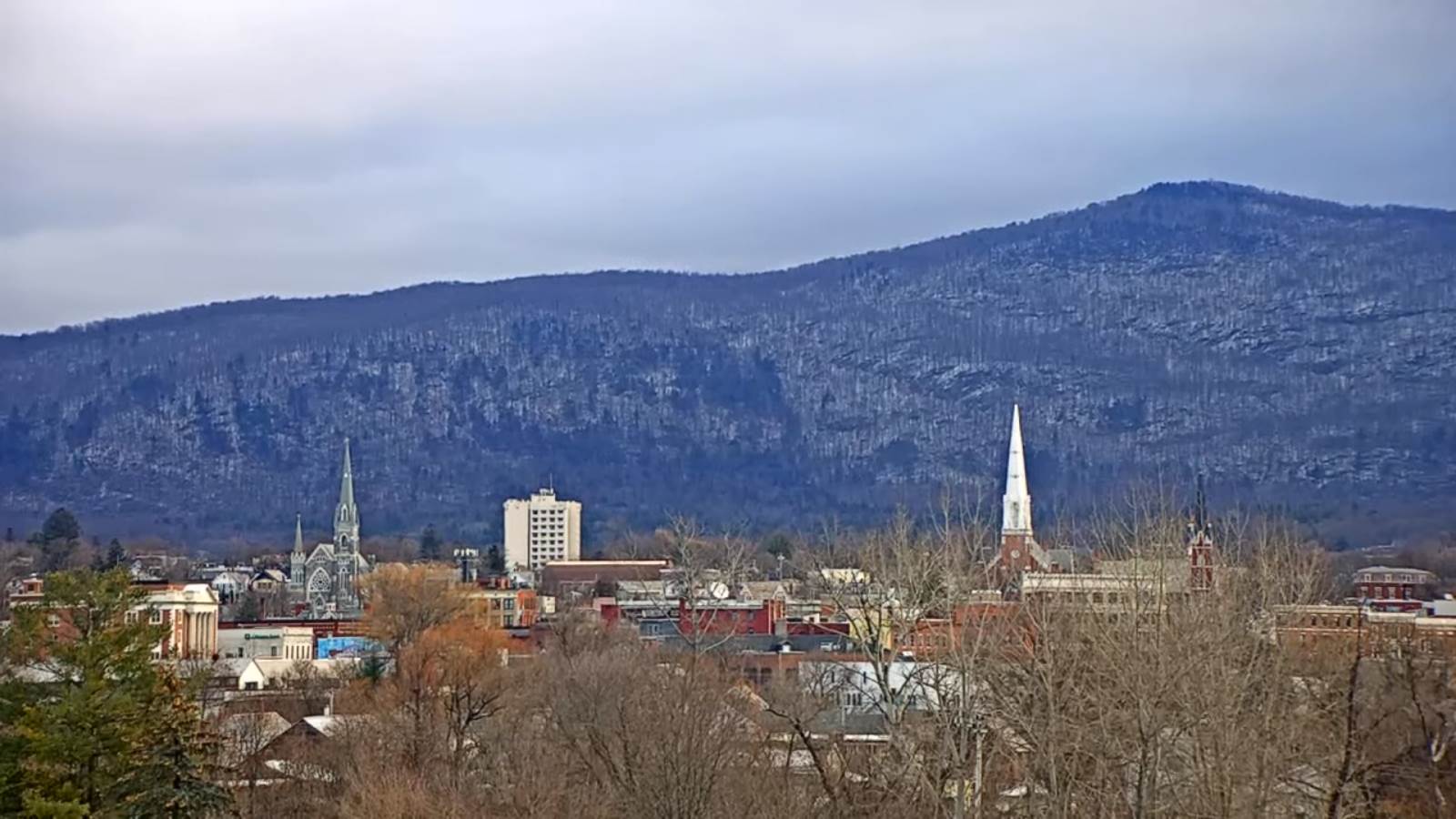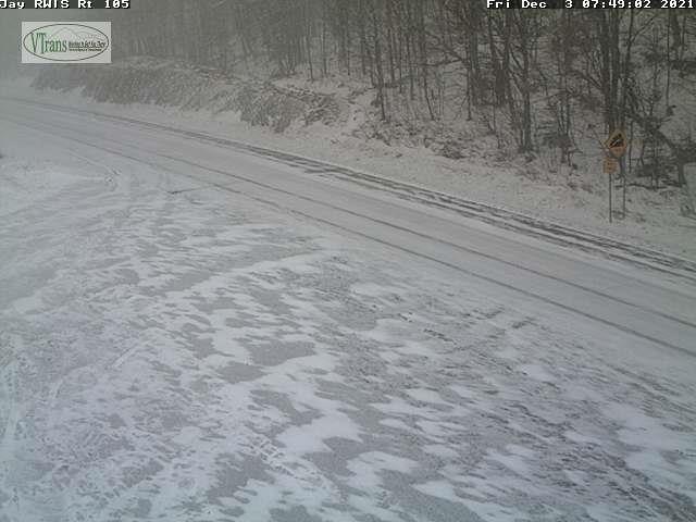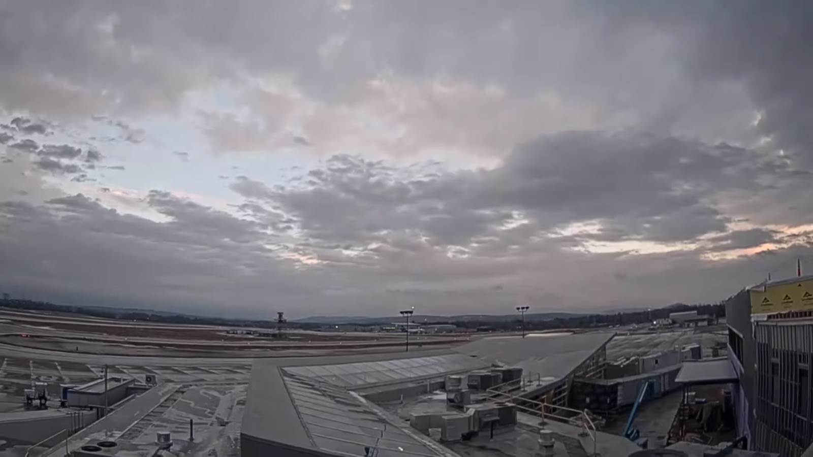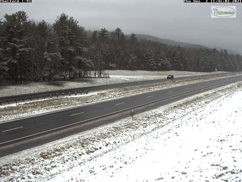
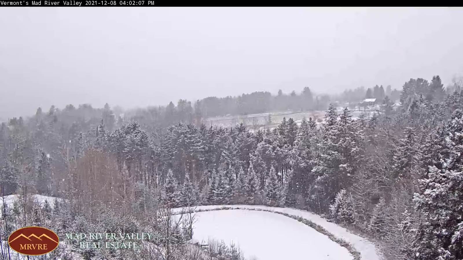
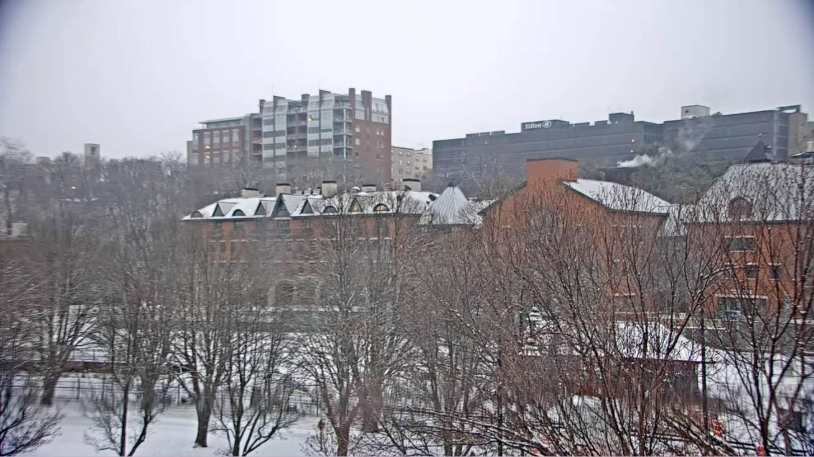
TONIGHT: Cloudy. Occasional snow showers or flurries with less than an inch accumulation. A low around 20. Light winds becoming westerly.
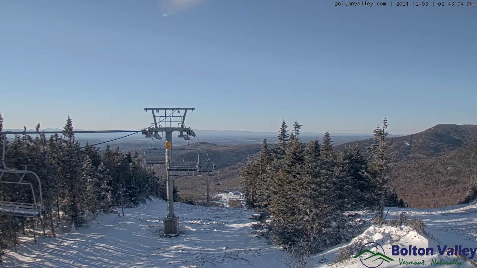
TOMORROW: Scattered mountain flurries with a dusting thru mid-day, otherwise considerable cloudiness. A high mid to upper 20s. Northwest 10 mph.
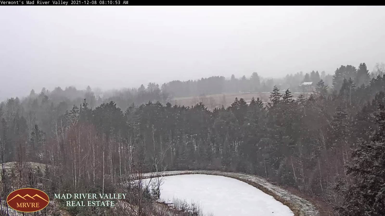
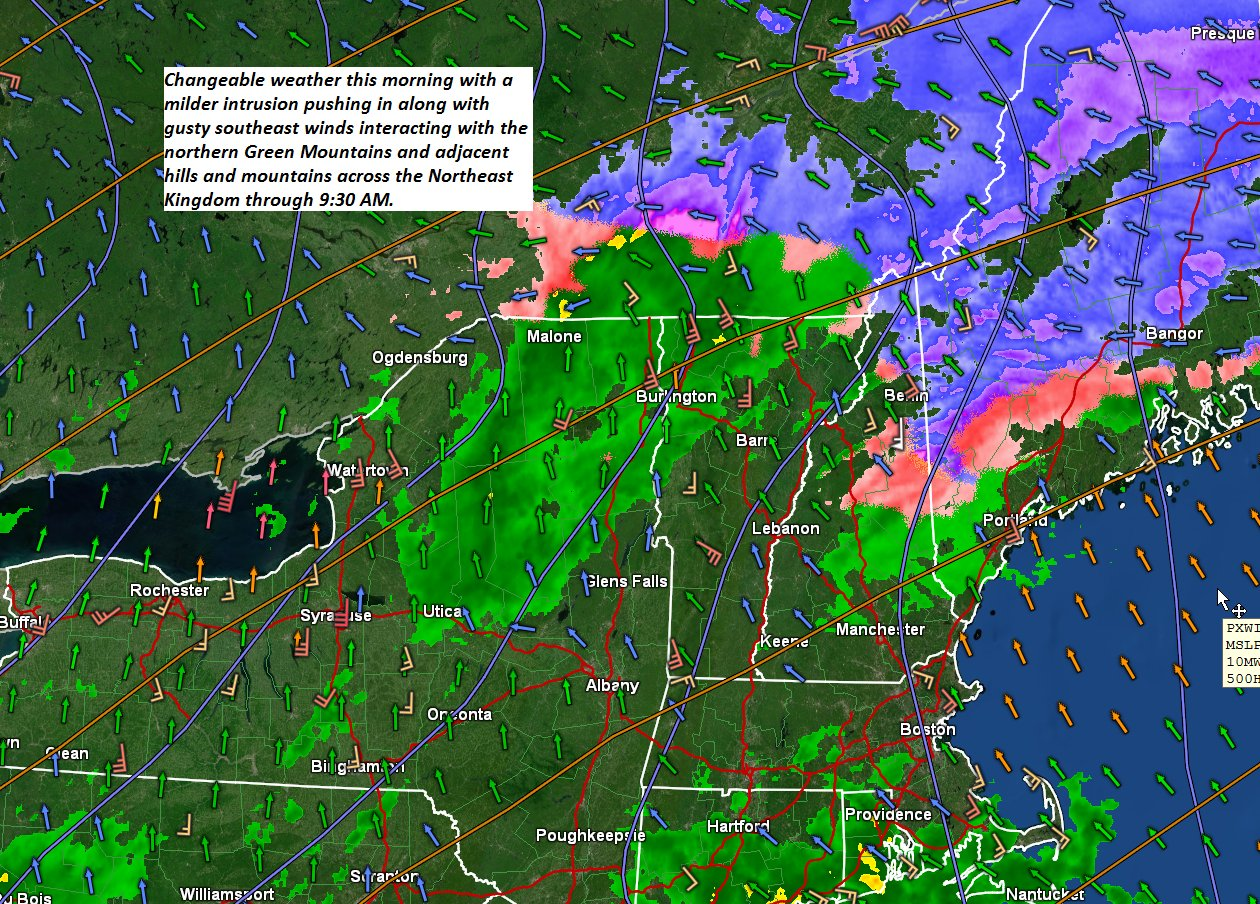
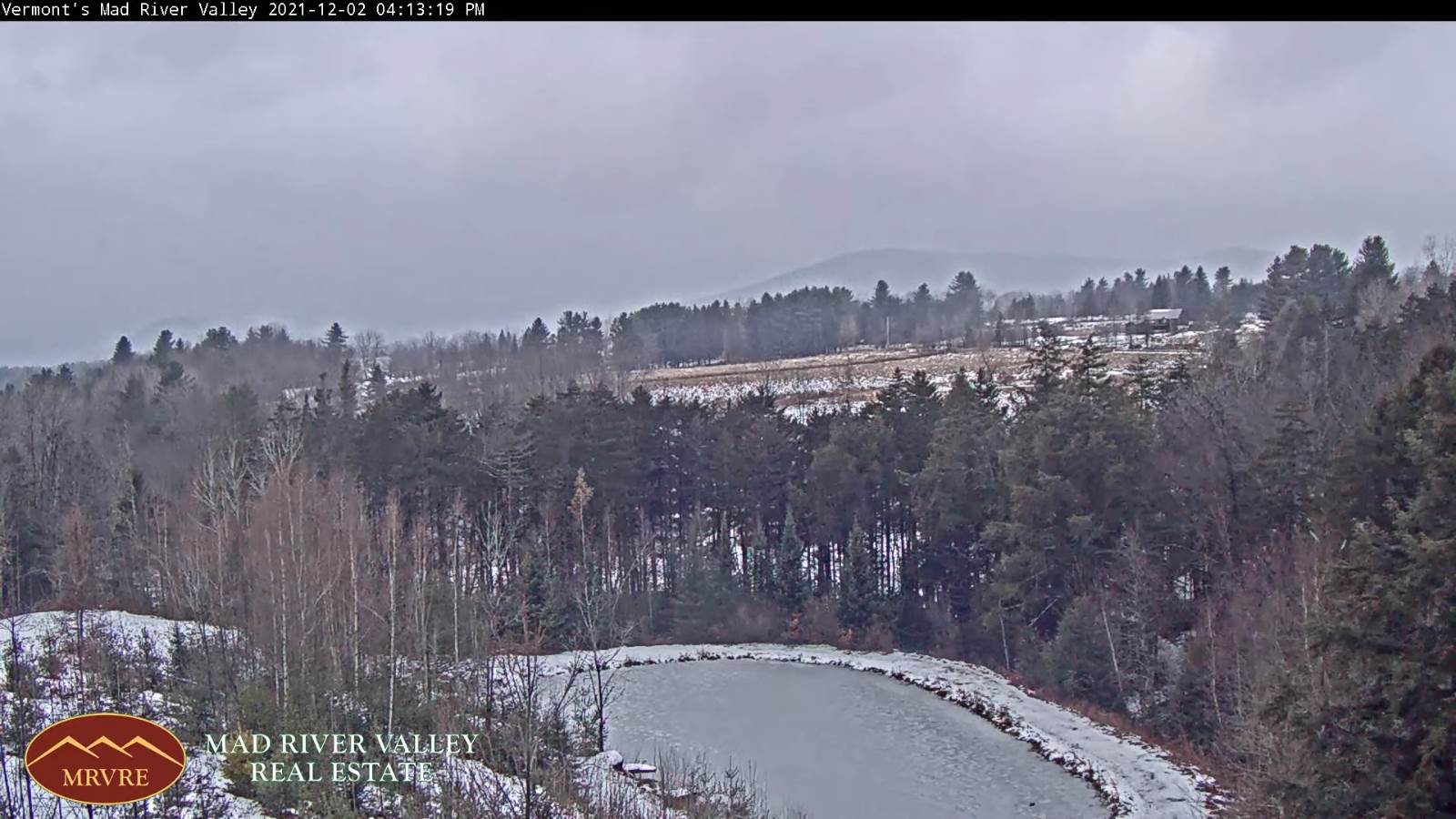
THURSDAY NIGHT: Cloudy. A rising chance for flurries northern areas after midnight. A low in the low 20s. Light southeast winds.
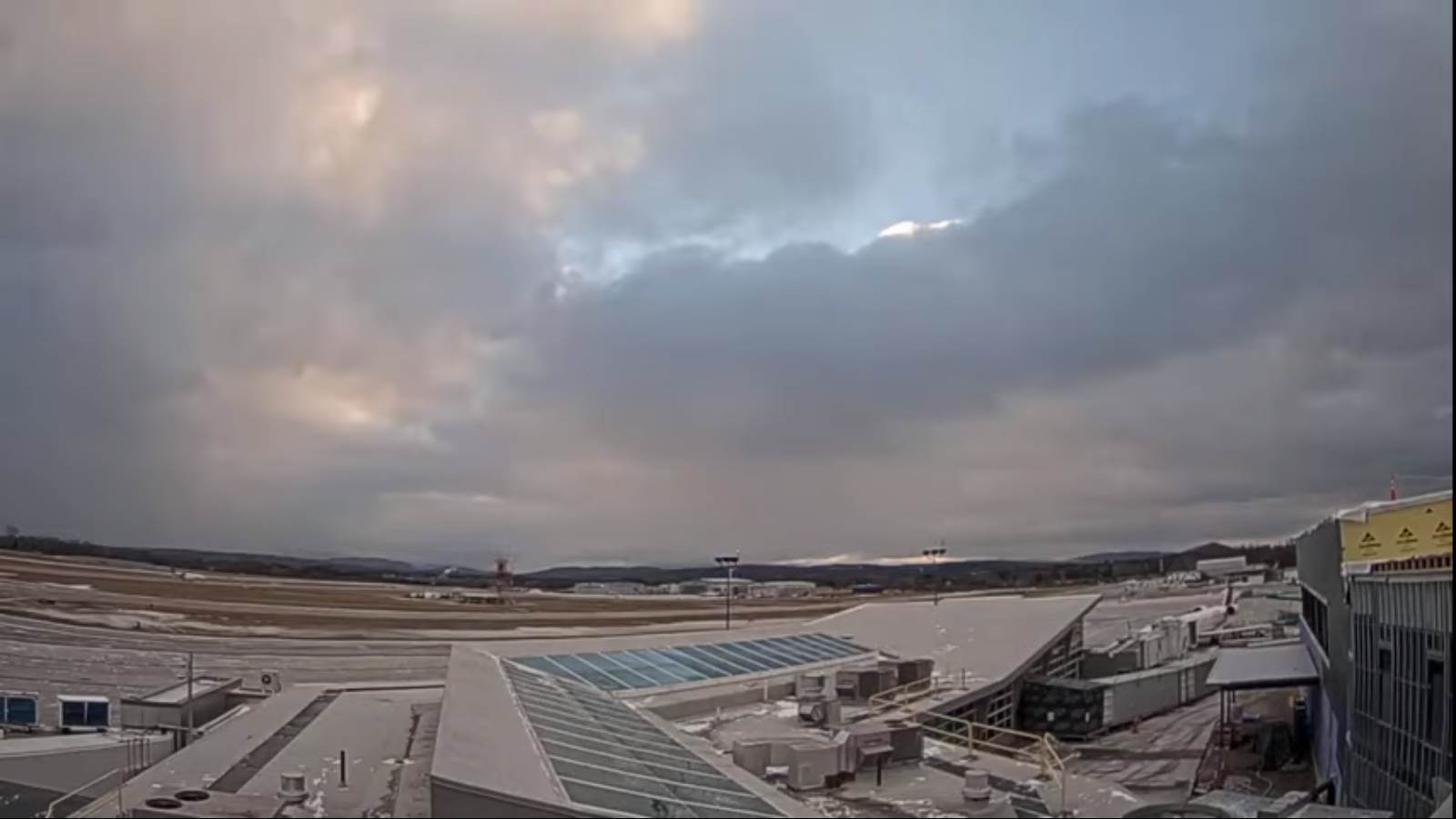
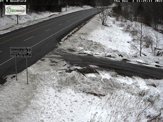
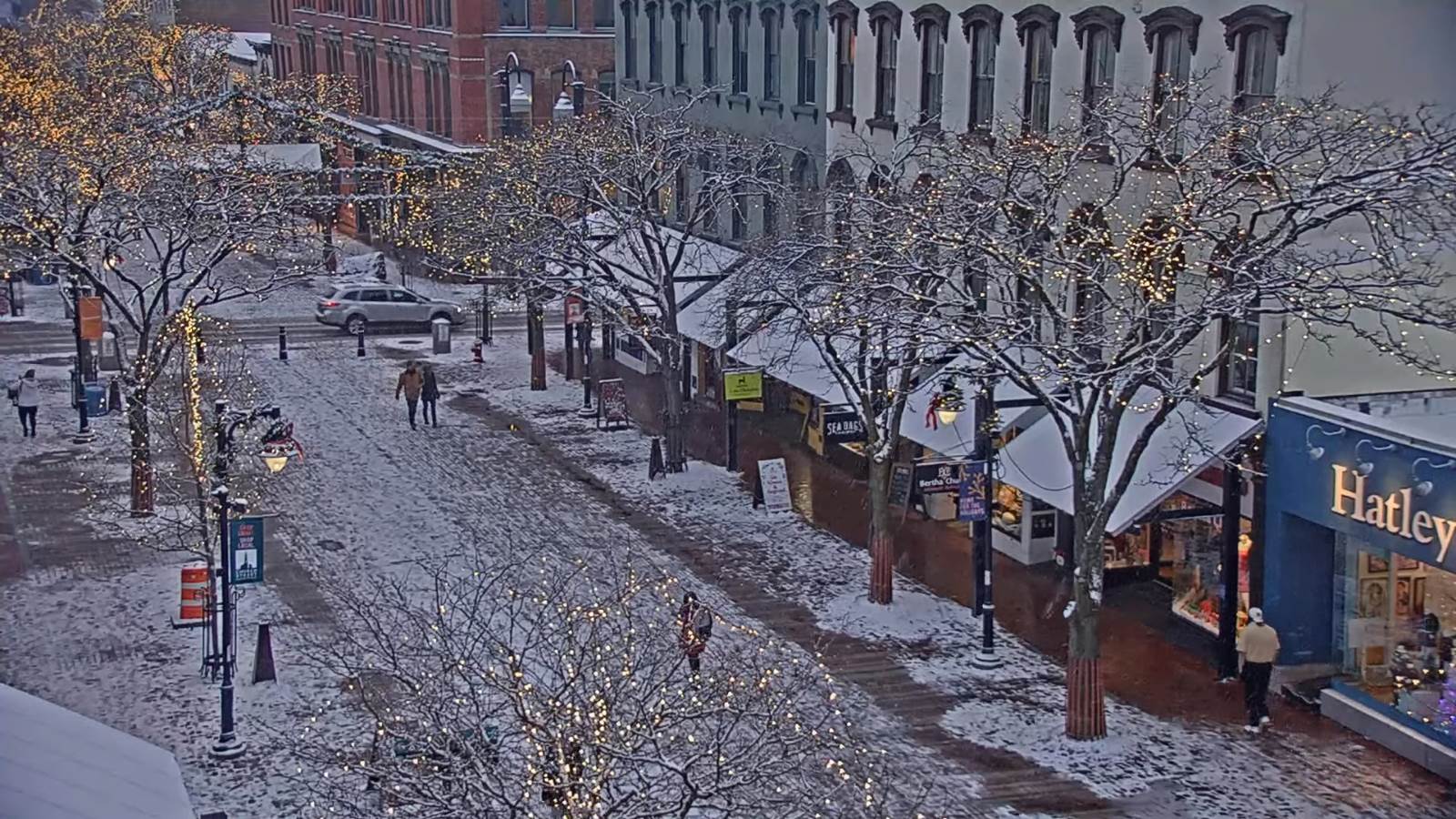
FRIDAY: Gray. Scattered snow showers or flurries exiting with minor accumulation in the morning. A high near 35. Southeast winds 10 to 15 mph, stronger near Lake Champlain.
Looking further ahead…
FRIDAY NIGHT: Lots of clouds. Good chance for rain showers arriving late…with areas of freezing east of the Green Mountains and slick travel Saturday morning. A low mid-20s.
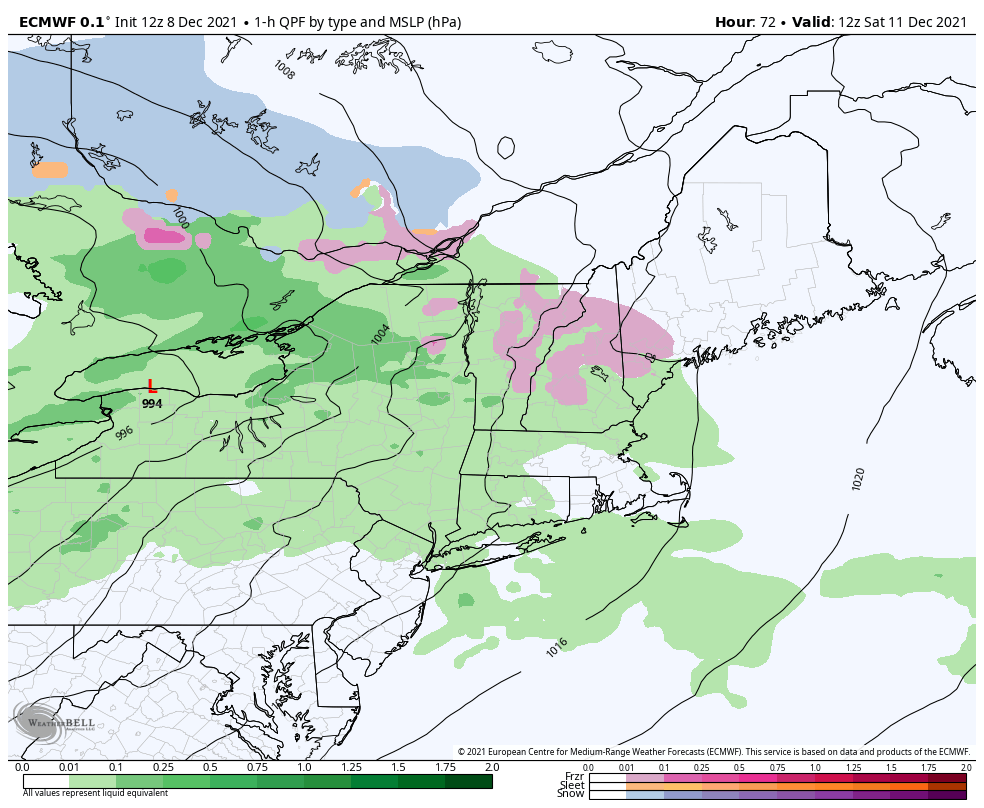
SATURDAY: Gray but turning much milder. Chance for freezing rain for a time east of the Green Mountains…changing to rain…moderate at times. Strong gusty winds developing in the evening. A high 50 to 55.
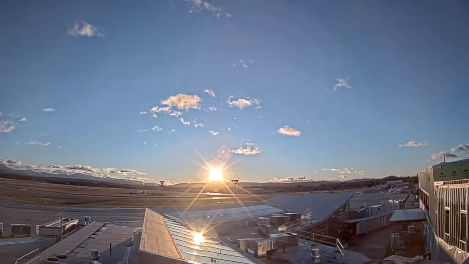
SUNDAY: Blustery and colder with scattered mountain flurries early. Periods of sun developing late morning on. A low around 30 with a high in the mid-30s.
MONDAY: More sun than clouds. A low around 30. A high in the low 40s.
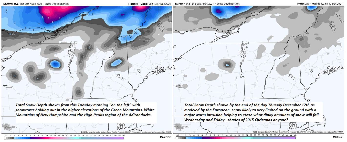
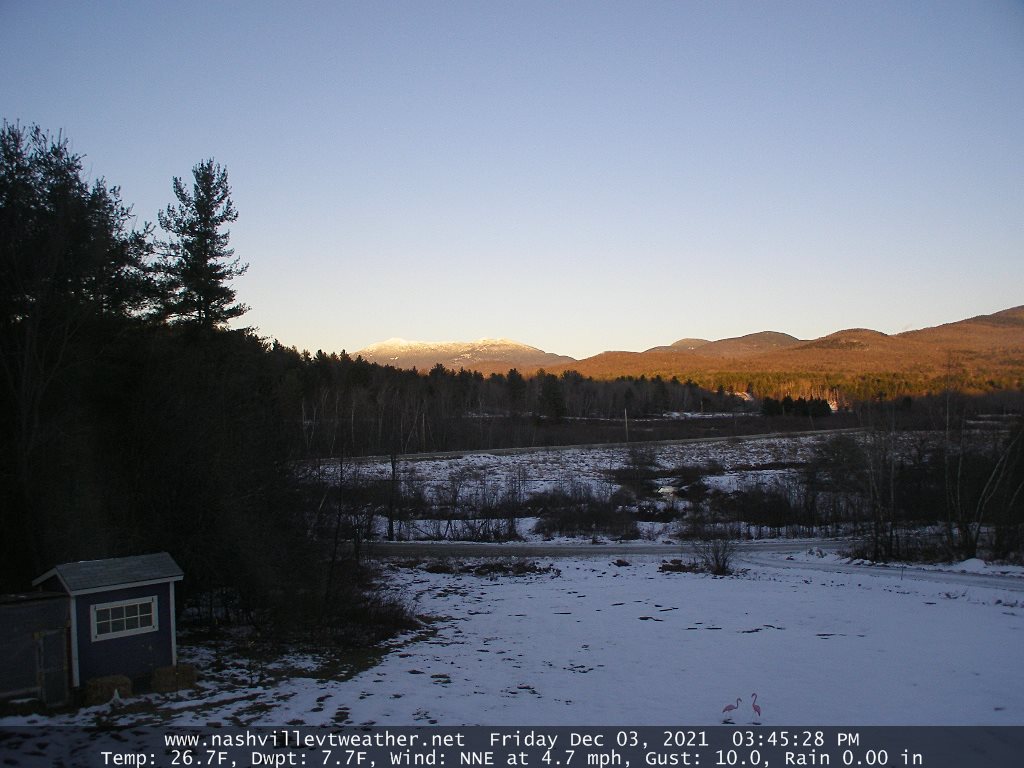
Average lows in the mid-teens to low 20s. Average highs in the 30s.
RH/12- developing 7forecast][end]