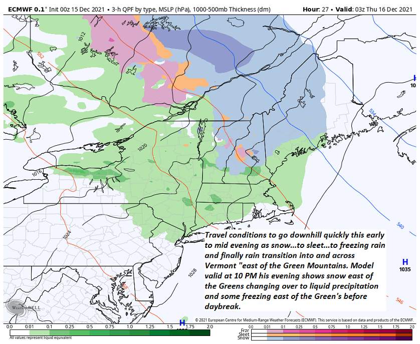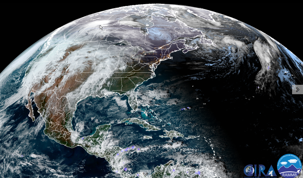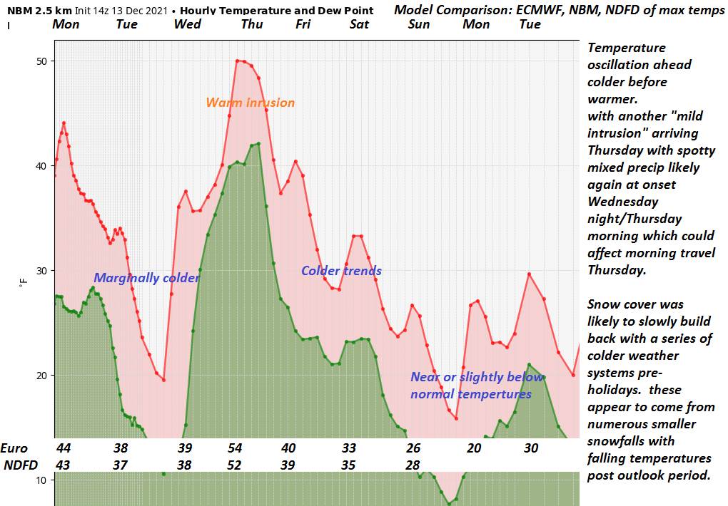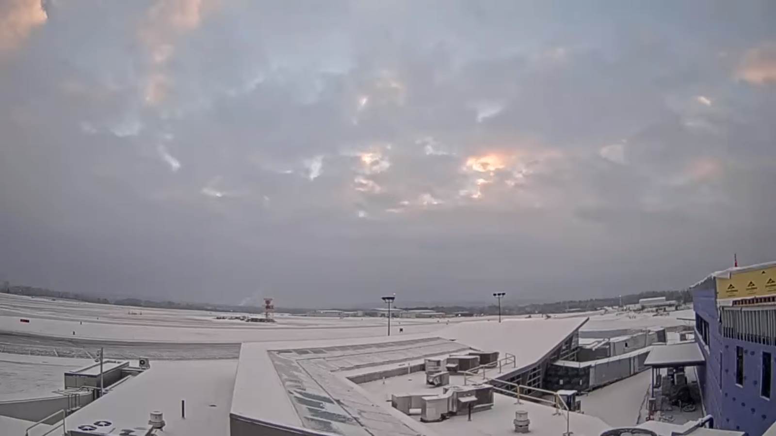
Winter Weather Advisory along & east of the Greens 5 PM this evening until 7 AM Thursday morning.
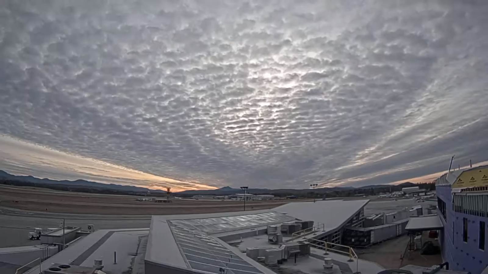
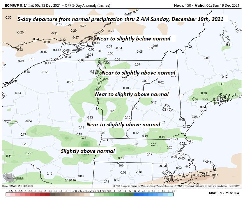
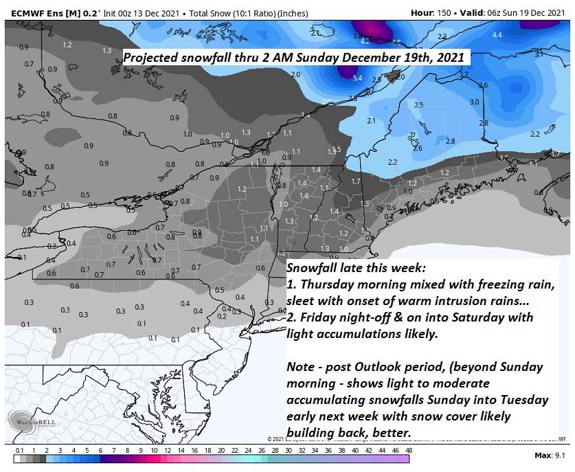
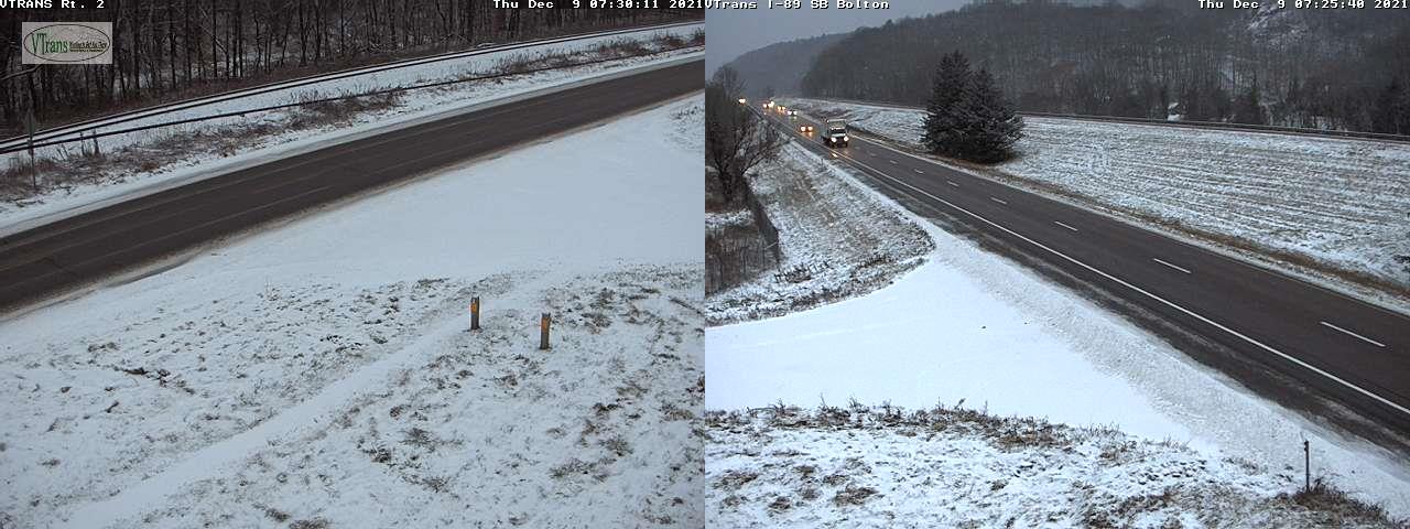
TONIGHT: Overcast. Rain, or a wintry mix will produce areas of slick travel developing early to mid-evening. Snow/sleet accumulations up to about an inch in and east of the Green Mountains. A low in the lower 30s. South winds pick up 10 to 15 mph.
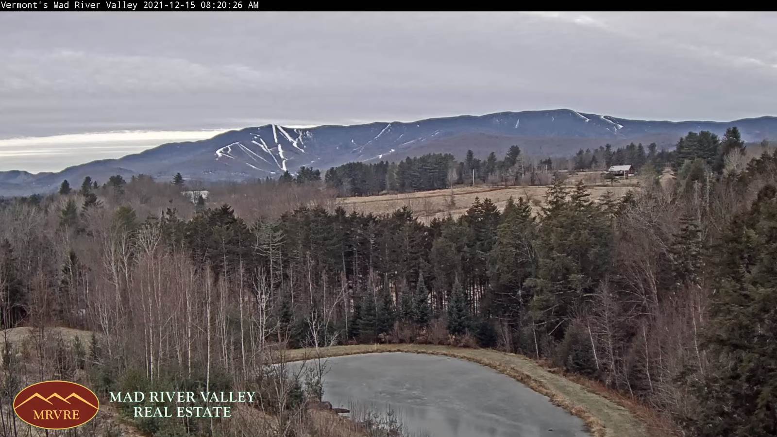
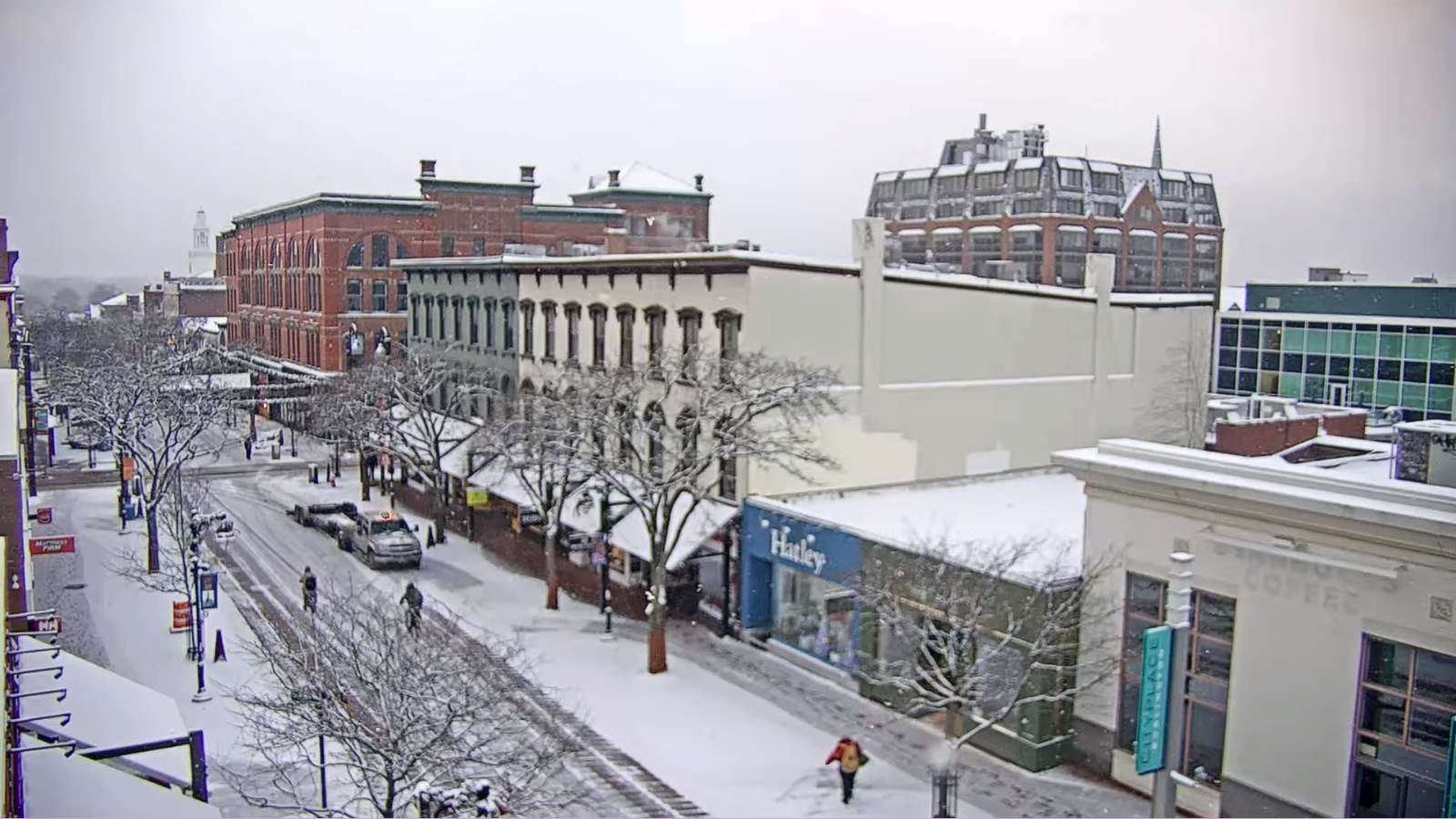
TOMORROW: Considerable cloudiness. A wintry mix early east of the Green Mountains…changing to rain showers. A few rain showers in the afternoon northern areas. Much more mild. A high about 55. South breeze 10 to 15 mph, stronger near Lake Champlain.

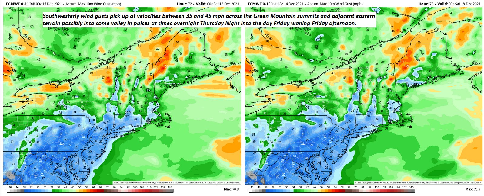
THURSDAY NIGHT: Chance for rain showers, with wet snow flakes in the mountains. Otherwise, clouds give way to partial clearing. Becoming blustery to windy at times after midnight. A low in the low to mid 30s. Southwest winds shifting to westerly after midnight at 10 to 25 mph with higher gusts.
FRIDAY: Clouds northern areas…otherwise lots of sunshine, but blustery. A high around 40. Westerly winds 10 to 25 mph and gusty.
Looking further ahead…
FRIDAY NIGHT: Partly cloudy. A low in the mid-20s.
SATURDAY: Generally gray. A rising chance for accumulating snow late, a couple to a few inches possible Saturday night. A high
near 32.
SUNDAY: Mainly cloudy with a few hints of sun northern areas. Scattered mainly mountain snow showers. Light additional accumulation in the mountains. A low 15 to 20. A high around 25.
MONDAY: Morning sun then increasing high cloudiness. Cold. A low 5 to 10 above. A high near 20.
Average lows ranging thru the teens. Average highs 30 to 35.
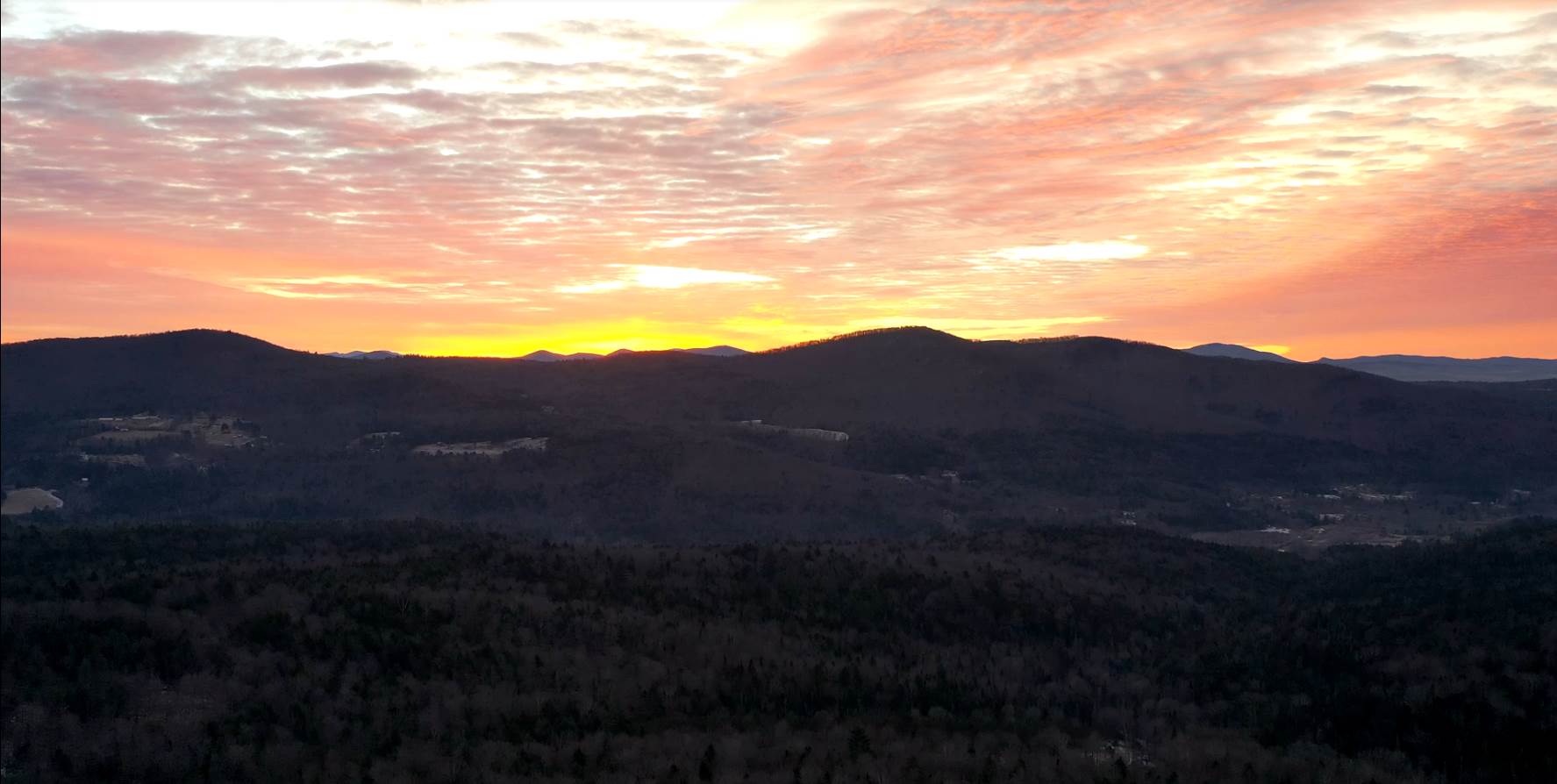
“Never, no matter what may be the progress of science, will honest scientific men who have regard for their reputations venture to predict the weather.” Francois Arago, Circa 1845 "To thine own self be true, and it must follow, as the night the day, thou canst not then be false to any man." William Shakespeare
RH/12-14forecast][end]