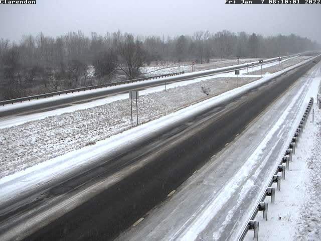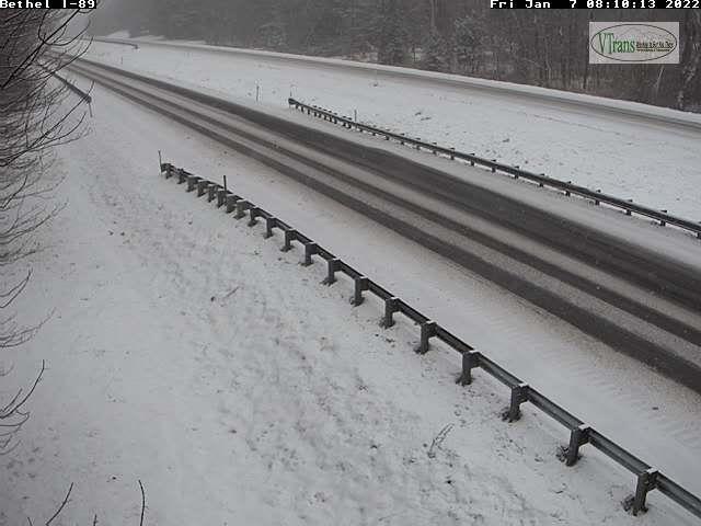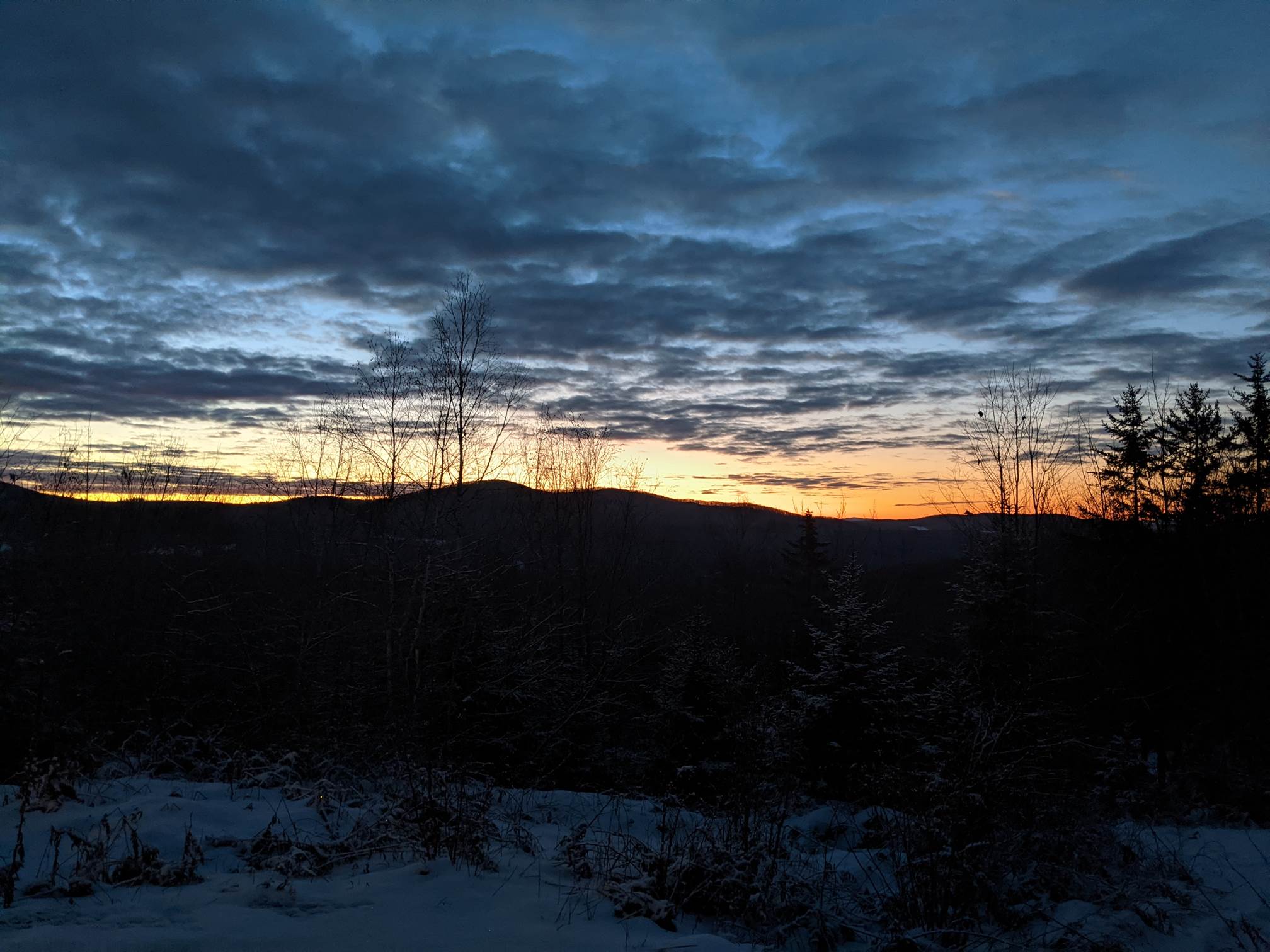
TONIGHT: Mostly cloudy, blustery & much colder. Northern mountain flurries wind down overnight. Accumulations of a fluffy inch or two. A low 5 below to 5 above. West to northwest winds 10 to 15 mph with lowered wind chills.
TOMORROW: Cold…but with lots of sunshine. More clouds arrive late. A high around 15. Light northwest winds.
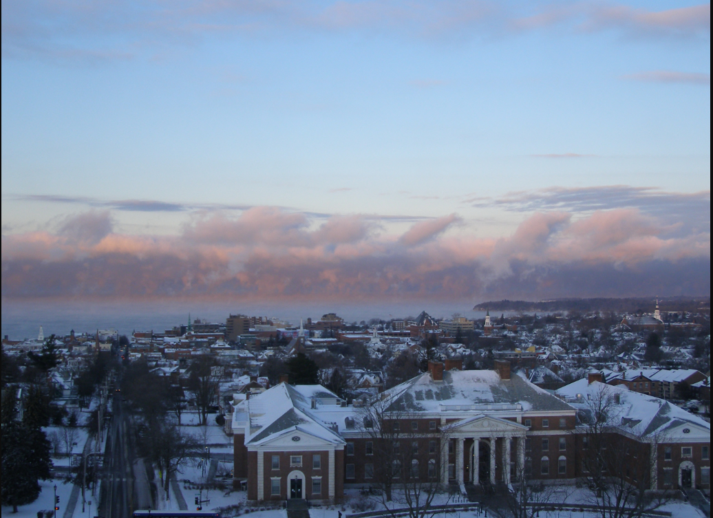
SATURDAY NIGHT: Increasing clouds. An evening low about zero to 10 above then gradually warmer. South winds 10 mph.
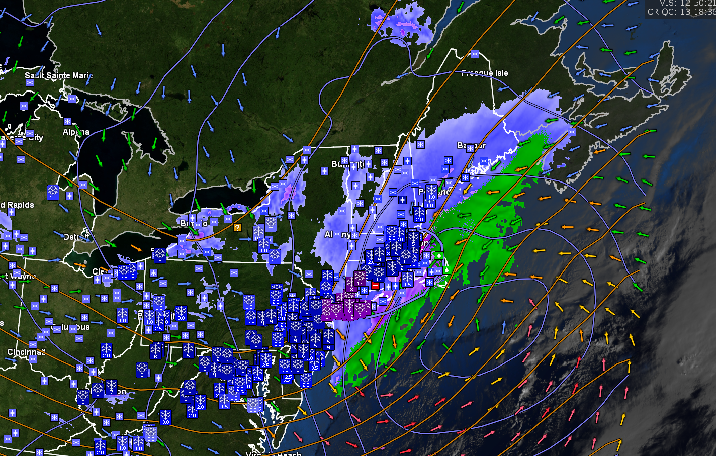
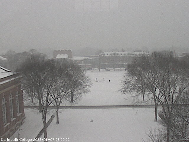
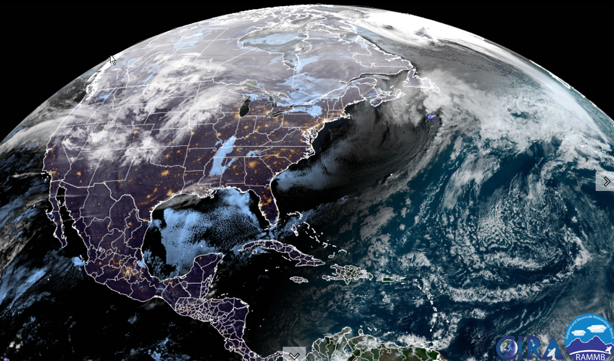
SUNDAY: Lots of clouds. Occasional light accumulating sleety snow northern central areas…with freezing rain and glazing southern areas making for tricky travel. Snow & sleet accumulations of around an inch or two, with the most Northeast Kingdom. A late day high in the mid-30s. South winds 10 mph.
Looking further ahead…
SUNDAY NIGHT: Scattered evening flurries. Otherwise partial clearing. A low around 10.
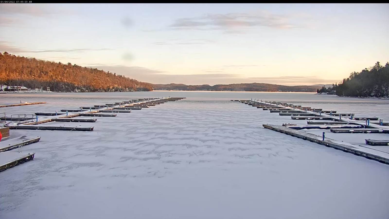
MONDAY: Scattered snow showers or flurries with minor accumulations. Otherwise, intervals of afternoon sun. A high around 15.
TUESDAY: Diamond dust dries up early, then arctic-like sunshine. Frigid with low wind chills. A low 10 to 20 below zero. A high ranging minus 5 to minus 10.
WEDNESDAY: Periods of morning sun, then cloudy in the afternoon. A low 10 to 20 below. Moderating temperatures in the afternoon. A high 10 to 15 above.
Average lows single digits thru low-teens. Average highs mid-20s to low 30s.
Met winter peaks January 23rd, End of Met. Winter March 9th
RH/1-7 forecast][end]