
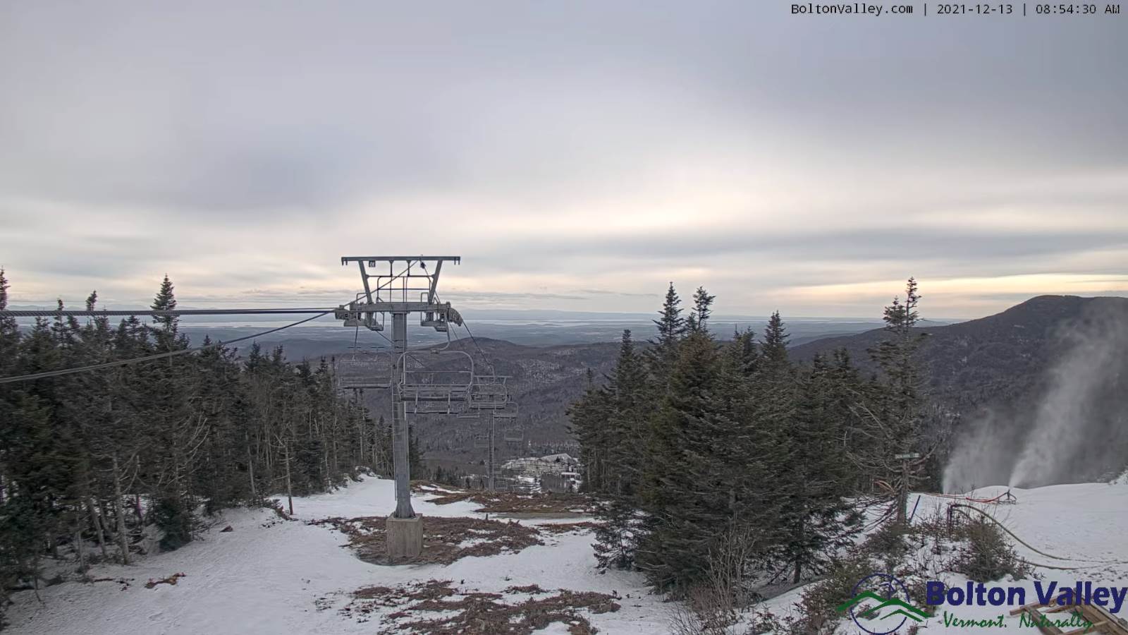
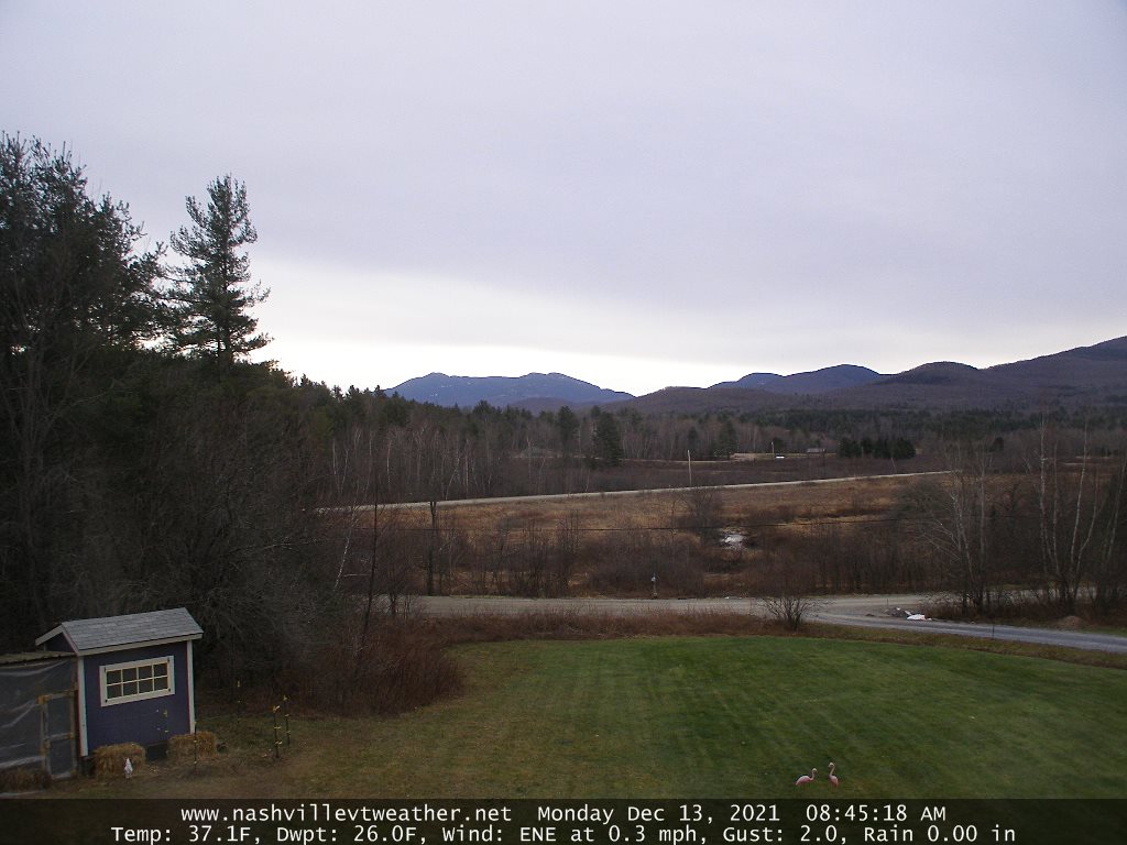
TODAY: Morning cloudiness, then mostly sunny in the afternoon. Much milder than average. A high 40 to 45. Southwest breeze 10 mph.
TONIGHT: Mostly clear skies give way to variable cloudiness overnight. A low upper 20s to low 30s. Winds becoming west to northwesterly 10 to 15 mph.
TUESDAY: Mixed sun and clouds, maybe a northern morning flurry. A high 35 to 40. Northwest winds 10 to 15 mph.
Looking further ahead…
TUESDAY NIGHT: Partly cloudy mainly high cloudiness. A low in the mid-20s to low 30s.
WEDNESDAY: Mixed clouds and sun in the morning then clouding up. Slight chance for a few rain showers late. A high around 40.
THURSDAY: Chance for scattered freezing rain showers early morning hours east of the Green Mountains…changing to rain showers before exiting late morning. A low 30 to 35. Turing much milder later in the afternoon. A high upper 40s to near 55 western Vermont.
FRIDAY: Chance for rain showers early…exiting as a few snow flurries in the afternoon. A low near 35. A high in the low to mid 40s.
Average lows ranging thru the teens. Average highs 30 to 35.
RH/12-13forecast][end]
