Updated Wednesday Morning Forecast — February 22nd, 2023

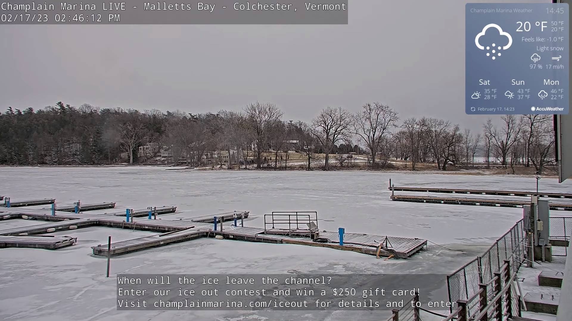
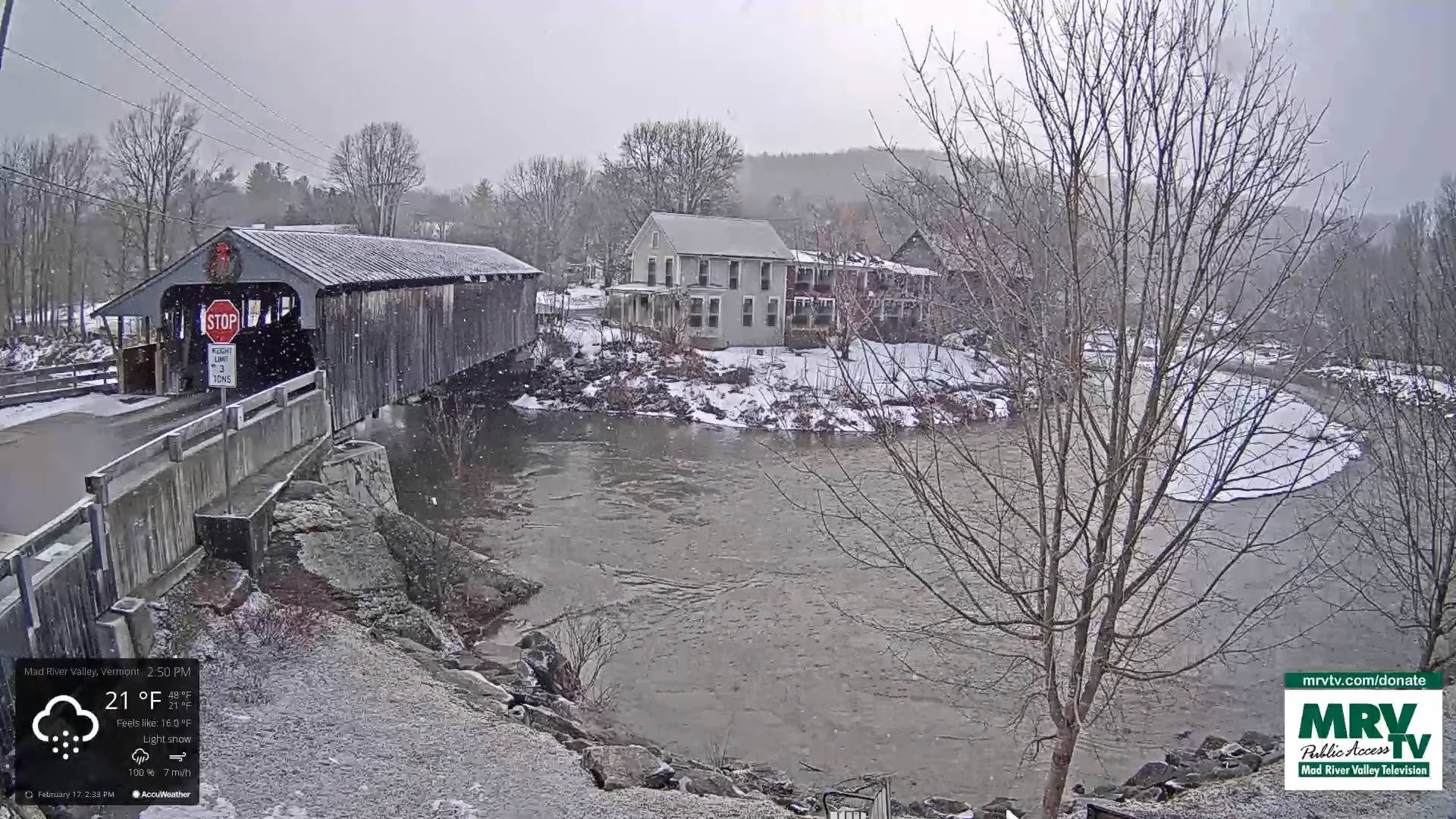
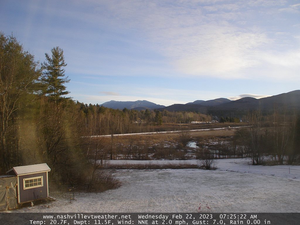
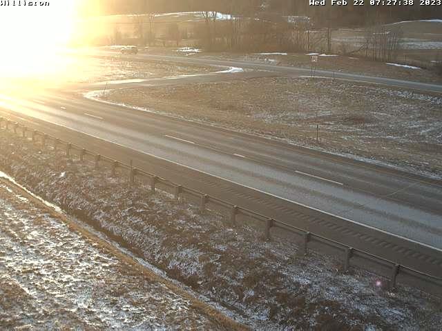
TODAY: Intervals of morning sun, then clouding up.A high in the upper 20s to low 30s.Light northwest winds.

Winter Storm Warning this evening thru 1 PM Thursday afternoon…

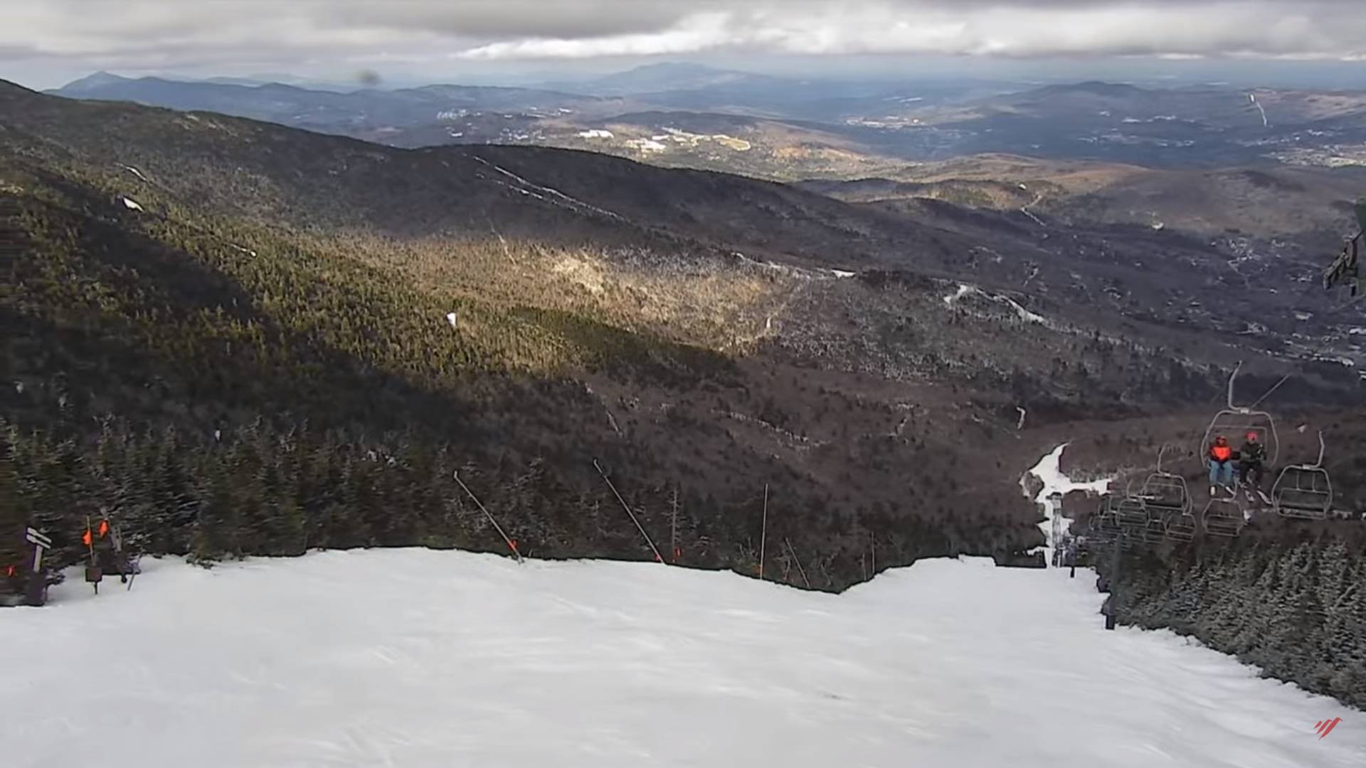
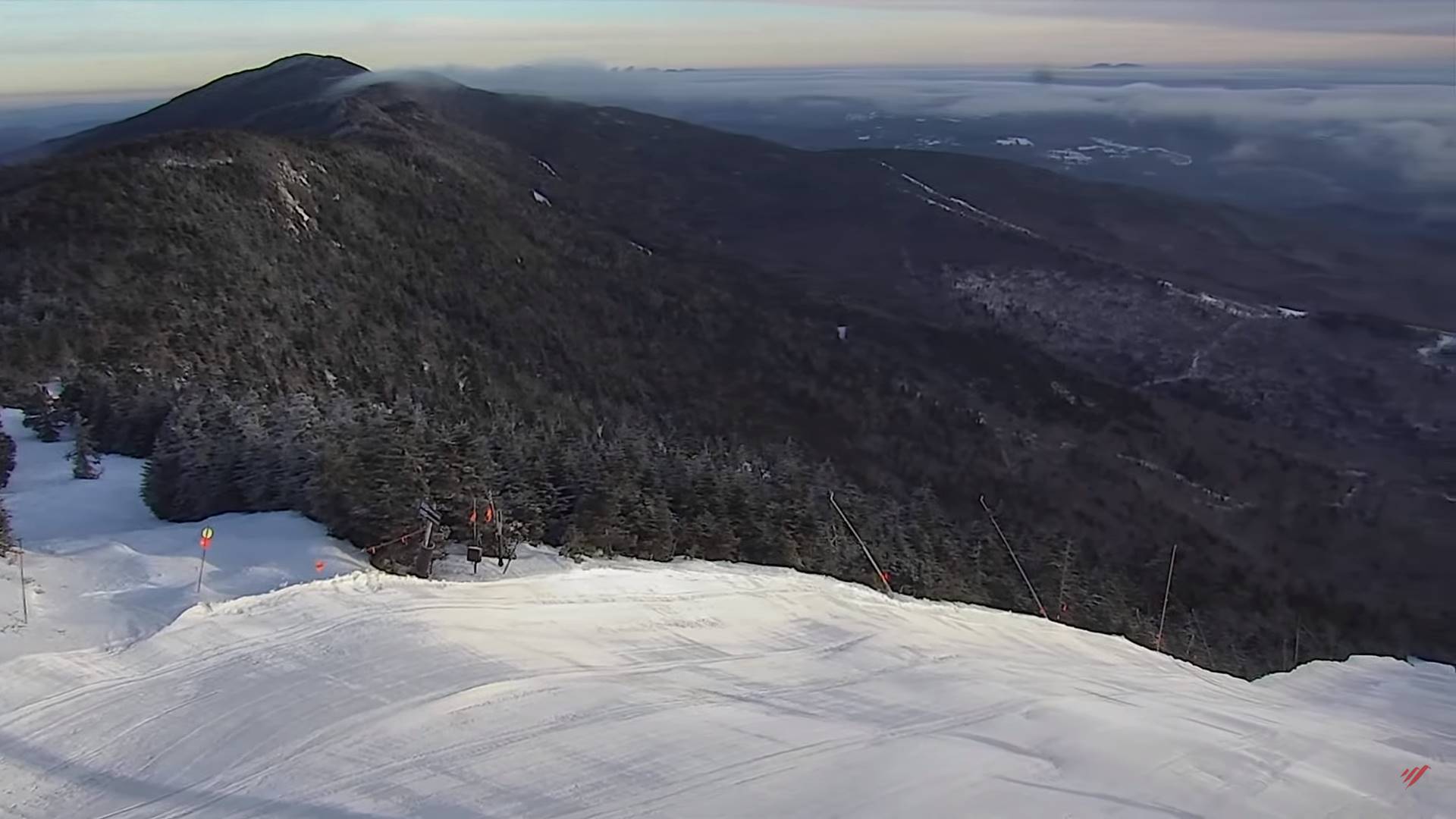
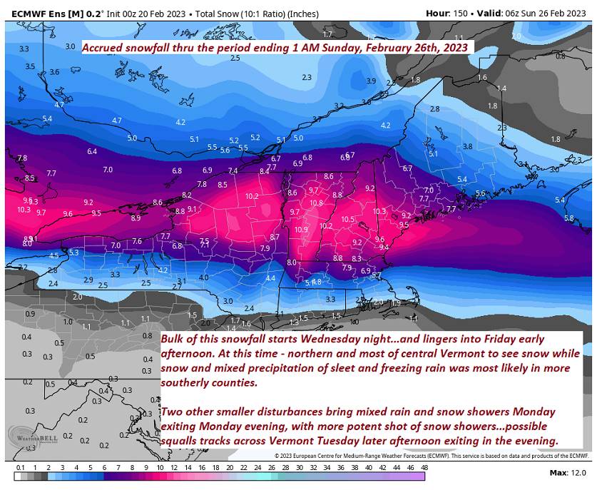
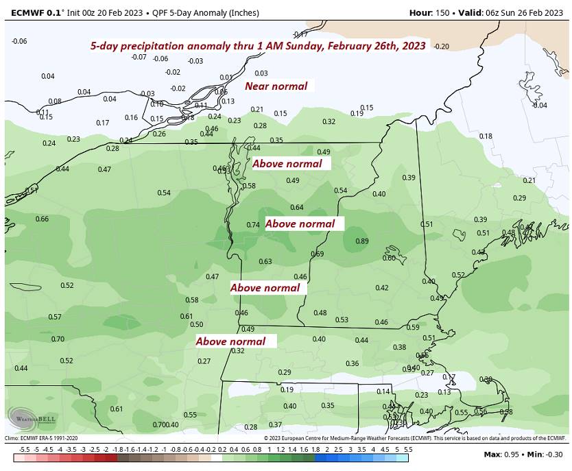
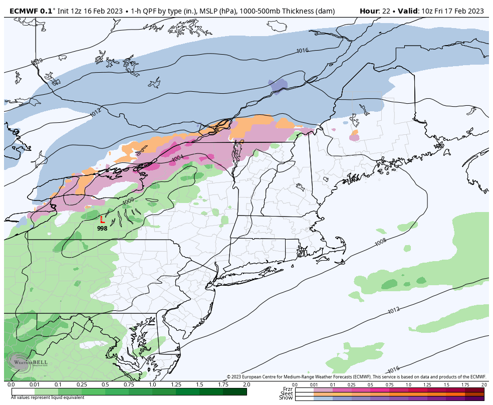
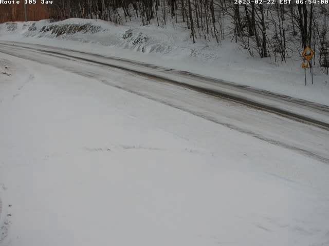
TONIGHT: Cloudy. Periods of accumulating snow developing later this evening, moderate to briefly heavy at times. About 4 to locally 10” accumulation with the most central and northern areas. Snow mixes with sleet and freezing rain southern areas late overnight.A low mid-teens to low 20s. Light northeast wind.

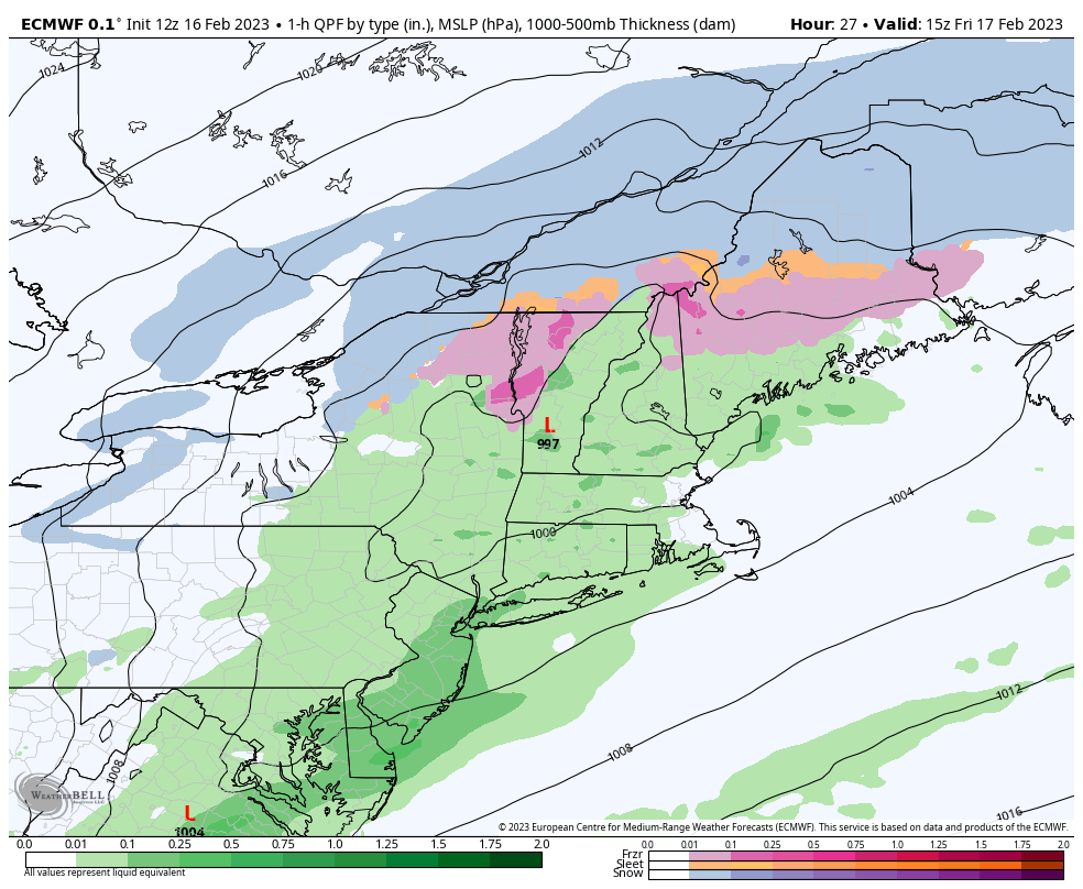
THURSDAY: Gray.Periods of snow…tapering off mid-morning. Widely scattered mixed precipitation lingering with sleet and spotty freezing rain mainly southern areas.Slick travel but light accumulations 1 to 2” and couple tenths of an inch of glazing. Total accumulation about 6 to 12”. A high around 25. Light east winds.

Looking further ahead

THURSDAY NIGHT: Cloudy. A light wintry mix changing back to scattered snow showers/flurries. Accumulation dusting to 2” with the most northern tier.Colder.A low ranging 10 to 15 above.

FRIDAY: Scattered morning flurries exiting. Otherwise morning clouds gives way to few breaks of sun afternoon sun. Blustery. A high 10 to 15.

SATURDAY: Filtered sunshine gives way to thickening clouds with a rising chance for snow showers or flurries.Frigid.A morning low ranging zero to 15 below. A high around 15.

SUNDAY: Mainly cloudy. Chance for fluffy snow showers & flurries. Couple inches accumulation possible. Frigid. A low 5 below to 10 above. A high mid to upper 20s.

Average lows upper single digits to mid-teens. Average highs in the low to mid-30s.

Climatological winter ends March 9th… Vernal equinox March 20th as we start spring

RH/2-22 forecast][end]

Updated Tuesday Eve3ning Forecast — February 21st, 2023

TONIGHT: Evening snow showers tapering off to isolated flurries. A quick dusting to locally 2” otherwise just scattered clouds. Blustery.A low upper teens to mid-20s. Winds becoming west to northwest 10 to 15 mph.

TOMORROW: A few breaks of morning sunshine in the, then thickening clouds. A high in the upper 20s to low 30s.Light northwest winds.

Winter Storm Watch Wednesday Evening thru Thursday Afternoon…

WEDNESDAY NIGHT: Cloudy. Periods of accumulating snow developing thru the evening, moderate at times overnight central and southern areas. About 4 to locally 8” accumulation most southern areas. A low mid-teens to low 20s. Light northeast wind.

THURSDAY: Gray.Periods of snow…moderate to briefly heavy at times early.Light snow showers or flurries mixing with sleet and possible spotty freezing rain southern half of the state.Travel will be slick with accumulation 1 to locally 3 inches.A high in the mid-20s. Light east winds.

Looking further ahead

THURSDAY NIGHT: Cloudy. Occasional light snow and mixed precipitation with about 1 to 3”.total accumulation about 6 to 11”.Colder.A low ranging 5 to 15 above.

FRIDAY: Scattered morning flurries exiting. Otherwise morning clouds gives way to few breaks of sun afternoon sun. Blustery. A high 10 to 15.

SATURDAY: Filtered sunshine gives way to thickening clouds.Frigid.A morning low ranging zero to 15 below.

A high around 15.

SUNDAY: Mainly cloudy. Chance for dry powder snow. A few inches possible. Frigid. A low 5 below to 10 above. A high around 25.

Average lows upper single digits to mid-teens. Average highs in the low to mid-30s.

Climatological winter ends March 9th… Vernal equinox March 20th as we start spring

RH/2-20forecast][end]

Updated Tuesday Morning Forecast — February 21st, 2023

TODAY: Some clouds mixing with sunny periods this morning. Gray this afternoon with a rising chance a period of wet accumulating snow showers late. A high upper 30s to around 40. Southeast winds 10 mph.

TONIGHT: Evening snow showers tapering off to scattered flurries. A dusting to locally 2” otherwise partly cloudy & blustery.A low upper teens to mid-20s. Winds becoming westerly 10 to 20 mph.

WEDNESDAY: Clouds with a few hints of sun thickening in the afternoon. A high in the upper 20s north, and mid-30s south.Light northwest winds.

Looking further ahead

Winter Storm Watch Wednesday Evening thru Thursday Afternoon…

WEDNESDAY NIGHT: Cloudy. Periods of accumulating snow developing, moderate to briefly heavy at times. About 2 to locally 4” accumulation most southern areas. A low 15 to 20 north and 20 to 25 south.

THURSDAY: Gray.Periods of snow…moderate to briefly heavy at times early.Light snow showers or flurries mixing with sleet and possible spotty freezing rain southern half of the state.Travel will be slick with accumulation 2 to 4”.A high in the mid-20s.

FRIDAY: Snow showers winding down as flurries with dusting to 3” additional accumulation, total accumulation about 6 to 10”otherwise morning clouds gives way to few breaks of sun afternoon sun. Blustery. A morning low 5 to 10 above with a high near 15.

SATURDAY: Filtered sunshine gives way to thickening clouds.Frigid.A morning low ranging zero to 15 below.

A high around 15.

SUNDAY: Mainly cloudy. Chance for dry powder snow. A few inches possible. Frigid. A low 5 below to 10 above. A high around 25.

Average lows upper single digits to mid-teens. Average highs in the low to mid-30s.

Climatological winter ends March 9th… Vernal equinox March 20th as we start spring

RH/2-20forecast][end]

Updated Monday Evening Forecast — February 20th, 2023

TONIGHT: Variable cloudiness. Isolated leftover flurries exiting this evening. A low ranging upper single digits northern areas to mid-20s southern areas otherwise. Light northwest winds.

TOMORROW: Brief morning sun then more clouds. A rising chance a period of wet accumulating snow showers late. A high 35 to 40. Southeast winds 10 mph.

TUESDAY NIGHT: Evening snow showers tapering off to scattered flurries. A dusting to locally 3”, otherwise partly cloudy & blustery.A low upper teens to mid-20s. Winds becoming westerly 10 top 20 mph.

WEDNESDAY: Clouds with a few hints of sun thickening in the afternoon. A high in the upper 20s north, and mid-30s south.Light northwest winds.

Looking further ahead

WEDNESDAY NIGHT: Cloudy. Periods of accumulating snow developing, moderate to briefly heavy at times central and southern Vermont. A low 15 to 20 north and 20 to 25 south.

THURSDAY: Gray.Periods of snow…moderate to briefly heavy at times early with a few inches accumulation.Light snow showers or flurries mixing with sleet and possible spotty freezing rain.Travel will be slick.A high 20 to 25.

FRIDAY: Snow showers winding down as flurries with some additional light accumulation, otherwise morning clouds gives way to few breaks of sun afternoon sun. Blustery. A low 5 to 10 above with a high around 15.

SATURDAY: Filtered sunshine gives way to thickening clouds.A morning low 5 to 15 below. A high in the mid to upper teens.

Average lows upper single digits to mid-teens. Average highs in the low to mid-30s.

Climatological winter ends March 9th… Vernal equinox March 20th as we start spring

RH/2-20forecast][end]

Updated Monday Morning Forecast — February 20th, 2023

TODAY: Mainly cloudy with a few breaks of sun late. Rising chance for rain showers mixed with snow in the higher terrain. A high near 45. Winds shifting to northwesterly 10 to 15 mph.

TONIGHT: Variable cloudiness. Isolated leftover flurries exiting this evening. A low ranging thru the teens. Light northwest winds.

TUESDAY: Brief morning sun then more clouds. A rising chance a period of wet accumulating snow showers briefly moderate late. A high mid to upper 30s. Light southeast winds.

Looking further ahead

TUESDAY NIGHT: Evening snow showers tapering off to scattered flurries. A dusting to locally 2”, otherwise partly cloudy.A low upper teens to mid-20s.

WEDNESDAY: Lots of clouds. A high in the upper 20s.

THURSDAY: Gray.Periods of snow…moderate to briefly heavy at times with a few inches accumulation.A low in the mid to upper teens. A high in the low to mid 20s.

FRIDAY: Snow showers winding down, otherwise morning clouds gives way to few breaks of sun later on. Blustery to windy. Temperatures in the upper single digits to upper teens.

Average lows upper single digits to mid-teens. Average highs in the low to mid-30s.

Climatological winter ends March 9th… Vernal equinox March 20th as we start spring

RH/2-20forecast][end]

Updated Friday Evening Forecast — February 17th, 2023

Winter Weather Advisory expires late…

TONIGHT: Evening clouds with a stray flurry drying up.Becoming mostly clear and frigid.A low ranging zero to 15 above, coldest Northeast Kingdom. Northwest winds 10 to 15 mph decreasing.

TOMORROW: Periods of sunshine mixing with more clouds in the afternoon. A high near 30 Northeast Kingdom to mid-30s elsewhere. Light northwest winds.

SATURDAY NIGHT: Mostly clear to partly cloudy northern areas.A low ranging 15 to 25. Light southwest winds.

SUNDAY: Filtered sun then mainly gray but warmer. A high 40 to 45. Light southwest winds.

Looking further ahead

SUNDAY NIGHT: Variably cloudy. A low ranging 30 to 35.

MONDAY: Mostly cloudy. Scattered rain showers mixing with wet snow little accumulation. A 40 to 45.

TUESDAY: Intervals of morning sun, then gray. Rising chance for late day accumulating snow showers. A low in the teens. Highs upper 30s to around 40.

WEDNESDAY: Lots of clouds. Colder. Lows 15 to 25. Highs 25 to 32.

Average lows upper digits to mid-teens. Average highs upper 20s to mid-30s.

Climatological winter ends March 9th… Vernal equinox March 20th as we start spring

RH/2-17forecast][end]

Updated Friday Morning Forecast — February 17th, 2023

Winter Weather Advisory thru 7 PM this evening…

TODAY: Gray. Periods of freezing rain with light ice accretion northern and western Vermont. Rain showers eventually transition to freezing rain before mixing with sleet and snow with light ice accretion going into mid-day/early afternoon. Becoming blustery. Temperatures falling thru the 30s into the 20s from northwest to southeast. Light northwest winds increasing to 10 to occasionally 20 mph & gusty in the afternoon.

TONIGHT: Evening clouds with a few leftover flurries.Becoming mostly clear and frigid.A low 5 to 15 above coldest northern areas. Northwest winds 10 to 20 mph lowering wind chills in the evening falling off overnight.

SATURDAY: Periods of sunshine mixing with more clouds in the afternoon. A high around 30 Northeast Kingdom to mid-30s elsewhere. Light southwest winds.

Looking further ahead

SATURDAY NIGHT: Partly to mostly cloudy.A low upper teens to mid-20s.

SUNDAY: Filtered sunshine clouding up in the afternoon. Warmer. A high in the lower 40s.

MONDAY: Mostly cloudy. Scattered rain showers mixing with wet snow high terrain with minor accumulation. A low ranging 30 to 32. A high near 45.

TUESDAY: Intervals of sun mixed with cloudy periods. A low in the teens. Highs upper 30s to mid-40s.

Average lows upper digits to mid-teens. Average highs upper 20s to mid-30s.

Climatological winter ends March 9th… Vernal equinox March 20th as we start spring

RH/2-17forecast][end]

Updated Thursday Evening Forecast — February 16th, 2023

Winter Weather Advisory 1 AM thru 7 PM Friday…

TONIGHT: Overcast. Rising chance for light sprinkles. Rain showers transition to freezing rain mixing with sleet northwestern areas before daybreak with poor travel developing Champlain Valley and northern tier areas. A low ranging low to mid 30s northern and western areas, and in the mid to upper 30s central and southern areas. Light east winds.

TOMORROW: Gray. Periods of freezing rain with light ice accretion northern and western Vermont. Rain showers eventually mixing with a wintry mix in the afternoon central and southern areas. Blustery. A morning high 30 to 35. Light northwest winds increasing to 10 to occasionally 20 mph & gusty in the afternoon.

FRIDAY NIGHT: Evening clouds with a few leftover flurries.Becoming mostly clear and frigid.A low zero to 10 above. Northwest winds 10 to 20 mph lowering wind chills in the evening falling off overnight.

SATURDAY: Periods of sunshine mixing with more clouds in the afternoon. A high 30 to 32. Light southwest winds.

Looking further ahead

SATURDAY NIGHT: Partly to mostly cloudy.A low 20 to 25

SUNDAY: Filtered sunshine clouding up in the afternoon. Warmer. A high 40 to 45.

MONDAY: Mostly cloudy. Scattered rain showers mixing with wet snow high terrain with minor accumulation. A low ranging upper 20s to mid-30s. A high 40 to 45.

Average lows upper digits to mid-teens. Average highs upper 20s to mid-30s.

Climatological winter ends March 9th… Vernal equinox March 20th as we start spring

RH/2-15forecast][end]

Updated Thursday Morning forecast — February 16th, 2023

TODAY: Mixed sun and clouds and mild. Temperatures holding in the low to mid 40s. Light west to southwest winds.

Winter Weather Advisory 1 AM thru 7 PM Friday…

TONIGHT: Overcast. Rain showers southern areas with a wintry mix developing overnight northwestern areas spreading south and east toward daybreak. Ice accretion around ¼”promoting poor travel conditions. A low 30 to 32. Light southeast winds.

FRIDAY: Gray with a wintry mix and slick travel developing…tapering to scattered snow showers and flurries. Accumulations 1 to locally 3” most northern areas. Somebreaks of afternoon sun, Blustery. An early high 30 to 35…then falling through the 20s and blustery. Northwest winds 10 to occasionally 20 mph & gusty.

Looking further ahead

FRIDAY NIGHT: Becoming mostly clear and frigid.A low zero to 10 above.

SATURDAY: Periods of sunshine mixing with more clouds in the afternoon. A high 30 to 32.

SUNDAY: Filtered sunshine clouding up in the afternoon. Warmer. A low upper teens to mid-20s. A high 40 to 45.

MONDAY: Mostly cloudy. Scattered rain showers mixing with wet snow high terrain with minor accumulation. A low ranging upper 20s to mid-30s. A high 40 to 45.

Average lows upper digits to mid-teens. Average highs upper 20s to mid-30s.

Climatological winter ends March 9th… Vernal equinox March 20th as we start spring

RH/2-15forecast][end]

Updated Wednesday night Forecast — February 15th, 2023

Wind Advisory late this evening thru 7 AM Thursday eastern slopes central & southern Green Mountains…

TONIGHT: Partly cloudy. Isolated sprinkles northern areas. Mild.A low in the mid to upper 30s. Southwest winds 10 to 20 mph shifting to westerly overnight with higher localized gusts central & southern Green Mountain eastern slopes.

TOMORROW: Mixed sun and clouds and mild. Chance for rain showers far south toward dark. A high in the mid-40s. Light west to southwest winds.

THURSDAY NIGHT: Cloudy. Rain showers southern areas, a wintry mix developing overnight with spotty freezing rain/sleet promoting slick travel far northern areas. A low 30 to 35. Light southeast winds.

FRIDAY: Gray with a wintry mix and slick travel developing…tapering to flurries. Minor accumulation. Somebreaks of afternoon sun, Blustery. An early high around 32 degrees then falling through the 20s and blustery. Northwest winds 10 to occasionally 20 mph & gusty.

Looking further ahead

FRIDAY NIGHT: Becoming mostly clear and frigid.A low 5 below to 10 above.

SATURDAY: Filtered sunshine thru high clouds. A high around 32.

SUNDAY: Filtered sunshine then cloudy in the afternoon. Warmer. A low upper teens to mid-20s. A high near 45.

Average lows upper digits to mid-teens. Average highs upper 20s to mid-30s.

Climatological winter ends March 9th… Vernal equinox March 20th as we start spring

RH/2-15forecast][end]