Updated Wednesday morning Forecast — February 15th, 2023

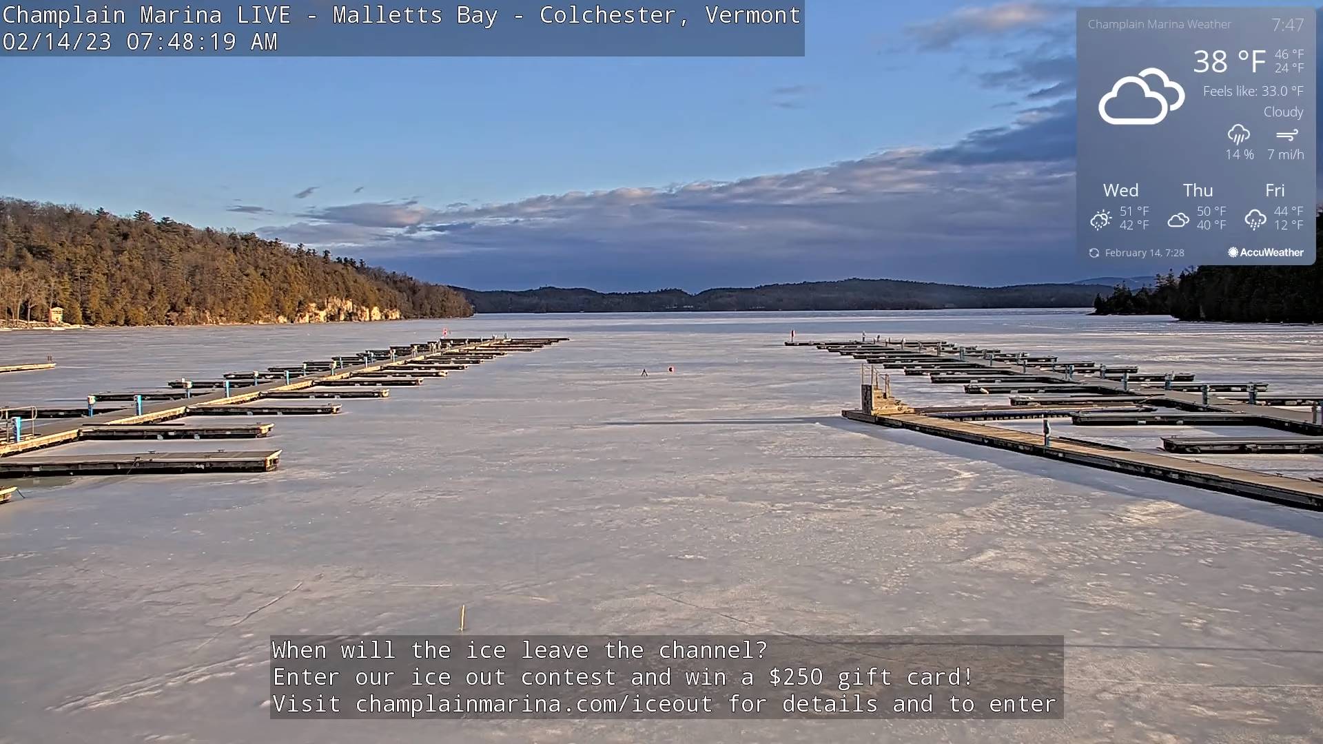
TODAY: Morning clouds mixing with periods of sunshine. A few sprinkles or passing light rain showers. Watch for slick spots this morning. A high upper 40s to around 50. Breezy south winds 10 to 15 mph stronger at Lake Champlain.

Wind Advisory late this evening into the overnight eastern slopes central Green Mountains…

TONIGHT: Partly cloudy. Widely scattered sprinkles northern areas. Mild.A low in the mid to upper 30s. Southwest winds 10 to 15 mph shifting to westerly overnight with higher gust central Green Mountain eastern slopes.

THURSDAY: Mixed sun and clouds and mild. Slight chance for a few showers southern areas arriving near dark. A high 45 to 50. Light west to southwest winds.

Looking further ahead

THURSDAY NIGHT: Cloudy. Rain showers becoming likely southern areas overspreading the region late with spotty freezing rain possible Champlain Valley. A low 30 to 35.

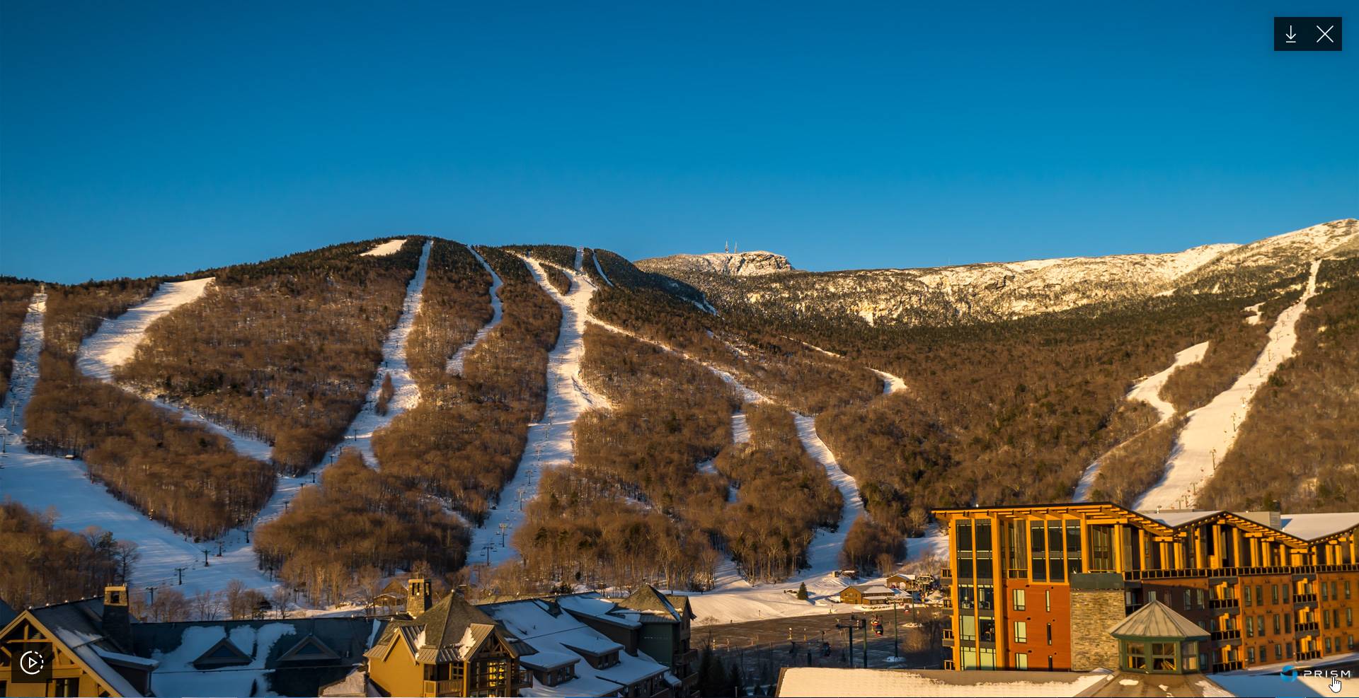
FRIDAY: Gray with a wintry mix and slick travel developing in the morning…tapering to scattered mountain snow showers and valley flurries. Somebreaks of afternoon sun, & blustery. A high low 40s early then falling into the 20s in the afternoon.

SATURDAY: Filtered sunshine thru high clouds. A low 5 below to 10 above. A high around 32.

SUNDAY: Filtered sunshine then cloudy in the afternoon. Warmer. A low upper teens to mid-20s. A high near 45.

Average lows upper digits to mid-teens. Average highs upper 20s to mid-30s.

Climatological winter ends March 9th… Vernal equinox March 20th as we start spring

RH/2-15forecast][end]

Updated Tuesday Evening Forecast — February 14th, 2023

TONIGHT: Clear this evening, before clouds thicken up overnight. A low 20 to 25. Light south winds.

TOMORROW: Cloudy periods mixed with intervals of sunshine. A sprinkle or two near the mountains. A high mid to upper 40s. Breezy south winds 10 to occasionally 20 mph stronger at Lake Champlain.

WEDNESDAY NIGHT: Partly to mostly cloudy. Widely scattered sprinkles northern areas. Mild.A low in the mid-30s. Southwest winds 10 to 15 mph.

THURSDAY: Mixed sun and clouds and mild. A high 45 to 50. West breeze 10 mph.

Looking further ahead

THURSDAY NIGHT: Fair early, then overcast with a rising chance for rain showers southern areas. An evening low 25 to 30 then milder overnight.

FRIDAY: Gray. Rain showers likely, with snowmelt and rising streams. Somebreaks of afternoon sun, & blustery to windy. A high pushing to near 50.

SATURDAY: Sunshine mixing with more clouds. Colder & more seasonable in temperature. A low in the single digits above zero. A high in the low 30s.

SUNDAY: Filtered sunshine. Warmer. A low mid-teens to low 20s. A high 40 to 45.

Average lows upper digits to mid-teens. Average highs upper 20s to mid-30s.

Climatological winter ends March 9th… Vernal equinox March 20th as we start spring

RH/2-14forecast][end]

Updated Tuesday Morning Forecast Valentines Day — February 14th, 2023

TODAY: A few leftover mountain flurries this morning, watch for a few slick spots. Cloudsgive way to periods of afternoon sunshine. A high in the upper 30s. Northwest winds 10 to 15 mph.

TONIGHT: Clear this evening, before clouds thicken overnight. A low 20 to 25. Light south winds.

WEDNESDAY: Clouds with some intervals of sun away from the mountains. A few passing light rain showers or sprinkles near the mountains. A high in the upper 40s. Breezy south winds 10 to occasionally 20 mph strongest near Lake Champlain.

Looking further ahead

WEDNESDAY NIGHT: Partly to mostly cloudy. Widely scattered light rain showers. Mild.A low in 35 to 40.

THURSDAY: Mixed sun and clouds and mild. A high mid-40s to near 50.

FRIDAY: Gray. Intermittent rain or rain showers likely, accompanied by snowmelt and rising rivers and streams. Somebreaks of afternoon sun, & blustery to windy. An early low in the upper 20s. A high mid 40s far northern areas to near 50.

SATURDAY: Sunshine mixing with more clouds. Colder & more seasonable in temperature. A low in the single digits above zero. A high near freezing or 32.

SUNDAY: Filtered sunshine. Warmer. A low mid-teens to mid-20s. A high 40 to 45.

Average lows upper digits to mid-teens. Average highs upper 20s to mid-30s.

Climatological winter ends March 9th… Vernal equinox March 20th as we start spring

RH/2-14forecast][end]

Updated Monday Evening Forecast — February 13th, 2023

TONIGHT: Considerable cloudiness. Mountain snow showers and valley flurries arriving this evening. A light coating to an inch or two mainly higher terrain with a low in the low 30s. Light west winds.

TOMORROW: Mostly cloudy with a few leftover Greens Mountain flurries, gives way to sunny periods in the afternoon. A high mid to upper 30s. Northwest winds 10 to 15 mph.

TUESDAY NIGHT: Clear early then thickening clouds. A low in the low to mid 20s. Light south winds.

WEDNESDAY: Clouds with a break or two sun. Isolated sprinkles mixed with wet snow flakes. A high upper 40s to near 50. South winds 10 to 15 mph stronger near Lake Champlain.

Looking further ahead

WEDNESDAY NIGHT: Partly to mostly cloudy. Mild.A low 35 to 40, and 40 to 45 western Vermont valleys

THURSDAY: Filtered sun thru high clouds. A high around 50.

FRIDAY: Gray skies with a chance for rain or rain showers moderate at times accompanied by significant snowmelt and potential rising rivers and streams. Maybe somebreaks of afternoon sun & blustery to windy. A low upper 20s. A high lower 50s.

SATURDAY: Mostly cloudy skies give to increasing afternoon sun. A low zero to 10 above. A high 30 to 35.

Average lows upper digits to mid-teens. Average highs upper 20s to mid-30s.

Climatological winter ends March 9th… Vernal equinox March 20th as we start spring

RH/2-13forecast][end]

Updated Monday morning Forecast — February 13th, 2023

TODAY: Pick of the week. Sunny & gorgeous. Some late day cloudiness western areas. A high in the low 40s. Light southeast winds.

TONIGHT: Considerable cloudiness. Mountain snow showers and valley flurries likely. A light coating in higher terrain with a low in the lower 30s. Light west winds.

TUESDAY: Mostly cloudy with scattered leftover flurries early mainly western slopes of the Greens, giving way to sunny periods in the afternoon. A high 35 to 40. Northwest winds 10 to 15 mph.

Looking further ahead

TUESDAY NIGHT: Clear early then thickening clouds. A low in the upper 20s.

WEDNESDAY: Clouds with a break or two sun. Isolated sprinkles mixed with wet snow flakes. A high mid to upper 40s.

THURSDAY: Filtered sun thru high clouds. A low in the mid-30s to near 40 western Vermont valleys. A high upper 40s to low 50s.

FRIDAY: Gray skies with a chance for rain or rain showers moderate at times accompanied by significant snowmelt and potential rising rivers and streams. Maybe somebreaks of afternoon sun & blustery to windy. A low 30 to 35. A high mid-40s to lower 50s.

Average lows upper digits to mid-teens. Average highs upper 20s to mid-30s.

Climatological winter ends March 9th… Vernal equinox March 20th as we start spring

RH/2-13forecast][end]

Updated Friday Evening Forecast — February 10th, 2023

Wind Advisory for Windsor County South in this evening

TONIGHT: Mainly cloudy & continued blustery. Accumulating snow showers developing northern mountains with 1 to locally 3” elsewhere a dusting to an inch. A low in the lower 20s. Winds becoming west to northwesterly 10 to 20 mph.

TOMORROW: Lots of clouds with any morning flurries drying up. Sunshine developing late morning on. Colder with a high in the upper 20s. Blustery northwest winds 10 to 20 mph early then falling off.

SATURDAY NIGHT: Clear & colder A low in the teens. Light southwest winds stronger near Lake Champlain.

SUNDAY: Lots of sunshine with some high cloudiness southern areas. Highs 35 to 40. Light west winds.

Looking further ahead

SUNDAY NIGHT: Fair with high clouds. A low 15 to 25.

MONDAY: Sunshine filtered thru high clouds. A high around 40.

TUESDAY: Morning clouds with a chance for flurries with a light coating. Intervals of afternoon sun. A low around 25. A high mid-30s to around 40.

WEDNESDAY: Hints of morning sun, then cloudy. A rising chance for a rain shower or sprinkle. A low mid-teens to low 20s. A little milder. A high 40 to 45.

Average lows upper digits to low teens. Average highs upper 20s to mid-30s.

Climatological winter ends March 9th…

RH/2-10forecast][end]

Updated Friday Morning Forecast — February 10th, 2023

Wind Advisory for Windsor County South into the evening

TODAY: Widely scattered sprinkles or light rain showers otherwise lots of clouds. Rain showers mixed with wet snow flakes developing late far northern areas. Much milder and becoming breezy to windy. Temperatures peak near 45. Southwest winds 10 to 20 mph & gusty shifting to westerly later on stronger toward southern areas.

TONIGHT: Mainly cloudy & continued blustery. Accumulating Snow showers likely, with a light coating to a couple inches northern Green Mountains. A low in the lower 20s. Winds becoming west to northwesterly 10 to 20 mph.

SATURDAY: Lots of clouds maybe a morning flurry. Sunshine developing late morning on. Colder with a high in the upper 20s. Blustery northwest winds 10 to 20 mph early then falling off.

Looking further ahead

SATURDAY NIGHT: Mostly clear & colder A low in the teens.

SUNDAY: Lots of sunshine with some high cloudiness southern areas. Highs 35 to 40.

MONDAY: Sunshine filtered thru high clouds. Lows 15 to 25. A high around 40.

TUESDAY: Morning clouds with a chance for flurries with a light coating. Intervals of afternoon sun. A low around 25. A high mid-30s to around 40.

WEDNESDAY: Hints of morning sun, then cloudy. A rising chance for a rain shower or sprinkle. A low mid-teens to low 20s. A little milder. A high 40 to 45.

Average lows upper digits to low teens. Average highs upper 20s to mid-30s.

Climatological winter ends March 9th…

RH/2-10forecast][end]

Updated Thursday Evening Forecast — February 9th, 2023

Winter Weather Advisory along and east of the Greens this afternoon thru 10 PM this evening…

TONIGHT: Lots of clods. A wintry mix early transitioning to scattered rain showers/sprinkles. Watch for icy spots east of the Green Mountains. Temperatures rising from an evening low in the mid-30s. South to southeast winds 10 to 15 mph.

TOMORROW: Widely scattered sprinkles or light rain showers mixing with wet snowflakes northern areas later in the afternoon. Otherwise lots of clouds. Much milder and becoming breezy to windy. A high around 45. Southwest winds 10 to 20 mph.

FRIDAY NIGHT: Mainly cloudy & continued blustery. Mountain snow showers and valley flurries likely, with a light coating northern areas. A low 20 to 25. Winds becoming west to northwesterly 10 to 20 mph.

SATURDAY: Lots of clouds maybe a morning flurry. Sunshine developing late morning on. Colder with a high in the upper 20s. Blustery northwest winds 10 to 20 mph early then falling off.

Looking further ahead

SATURDAY NIGHT: Mostly clear & colder Lows 5 to 15.

SUNDAY: Lots of sunshine with some high cloudiness southern areas. Highs mid-30s far north to around 40 otherwise.

MONDAY: Sunshine filtered thru high clouds. Lows upper teens to low 20s. A high upper 30s to around 40.

TUESDAY: Morning clouds with scattered flurries. Increasing afternoon sun. A low in the mid-20s. A high in the lower 40s.

Average lows upper digits to low teens. Average highs upper 20s to mid-30s.

Climatological winter ends March 9th…

RH/2-9forecast][end]

Updated Thursday morning Forecast — February 9th, 2023

Winter Weather Advisory along and east of the Greens this afternoon thru 10 PM this evening…

TODAY: Some brief early hints of sun, then overcast. Periods of wet snow rain mix developing mid-afternoon. Minor accumulations higher terrain. A high mid to upper 30s. Light southeast winds.

TONIGHT: Overcast. A wintry mix continues early this evening before transitions rain showers. Watch for icy spots east of the Green Mountains. Temperatures rising from an evening low around 35, into the upper 30s. South to southeast winds 10 to 15 mph.

FRIDAY: Widely scattered sprinkles or light rain showers mixed with wet snowflakes northern areas in the afternoon. Otherwise lots of clouds. Much milder and becoming g breezy to windy. A high around 45. Southwest winds 10 to 20 mph.

Looking further ahead

FRIDAY NIGHT: Mainly cloudy & continued blustery. Good chance for mountain snow showers and valley flurries northern areas. A low 20 to 25.

SATURDAY: Lots of clouds maybe a morning flurry. Breaks or intervals of afternoon sunshine developing. Colder with a high in the upper 20s.

SUNDAY: Filtered sunshine thru high cloudiness. Frigid. Lows 5 to 15. Highs mid-30s far north to around 40 otherwise.

MONDAY: Sunshine filtered thru high clouds. Lows upper teens to low 20s. A high upper 30s to around 40.

TUESDAY: Morning clouds then increasing sunshine. A low in the mid-20s. A high in the lower 40s.

Average lows upper digits to low teens. Average highs upper 20s to mid-30s.

Climatological winter ends March 9th…

RH/2-9forecast][end]

Updated Wednesday Evening Forecast — February 8th, 2023

TONIGHT: Clear this evening, then increasing high cloudiness. A low mid-teens to lower 20s. Light west winds.

TOMORROW: Some brief early hints of sun, then overcast. Periods of wet snow/rain mix developing late in the afternoon. A high 35 to 40. Light southeast winds.

THURSDAY NIGHT: Overcast. A wintry mix continues early, then transitions to rain or rain showers mid to late evening on. Temperatures rising from an evening low near 35, into the upper 30s.

FRIDAY: Widely scattered sprinkles or light rain showers mixed with wet snow northern areas in the afternoon. Otherwise lots of clouds. Much milder in the afternoon. A high near 45. South to southeast breeze 10 to 15 mph.

Looking further ahead

FRIDAY NIGHT: Mainly cloudy. Good chance for mountain snow showers and valley flurries northern areas. A low mid-teens to around 20.

SATURDAY: Lots of clouds maybe a morning flurry. Breaks or intervals of afternoon sunshine. Highs a little colder in the 25 to 32 degrees range.

SUNDAY: Filtered sunshine thru high cloudiness. Frigid. Lows zero to 10 above. Highs mid to upper 30s.

MONDAY: Mostly sunny. Lows 5 to 15. A high in the mid-30s.

Average lows upper digits to low teens. Average highs upper 20s to mid-30s.

Climatological winter ends March 9th…

RH/2-8forecast][end]