Updated Wednesday morning forecast — March 1st, 2023

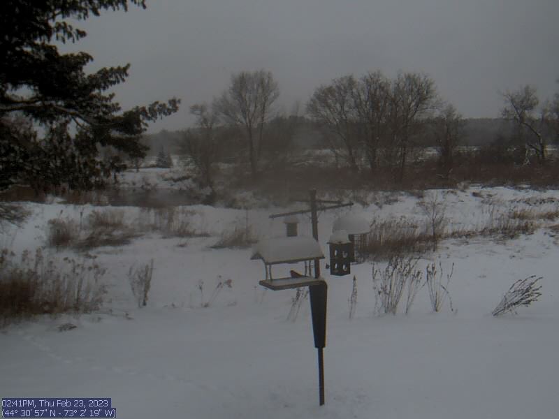
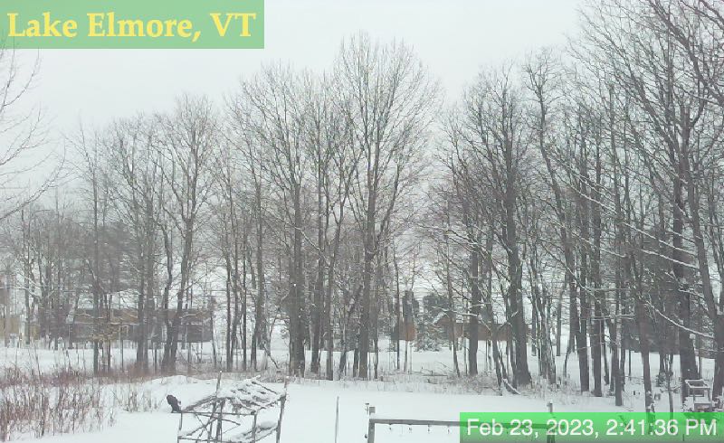
TODAY: Partial morning sun, gives way to gray skies. A high in the mid to upper 30s. Light southeast winds.

TONIGHT: Lots of clouds. Occasional flurries with a dusting to half inch northern central areas, with a risk for spotty mixed precipitation southern areas. A low 30 to 32. Light southeast winds.

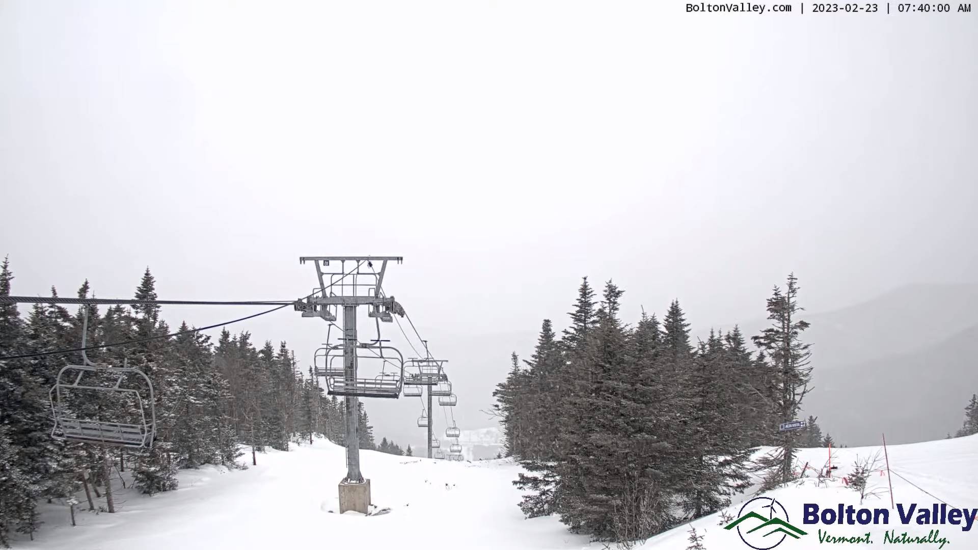
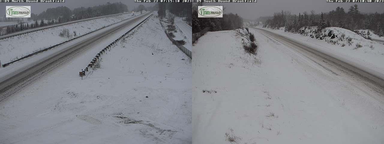
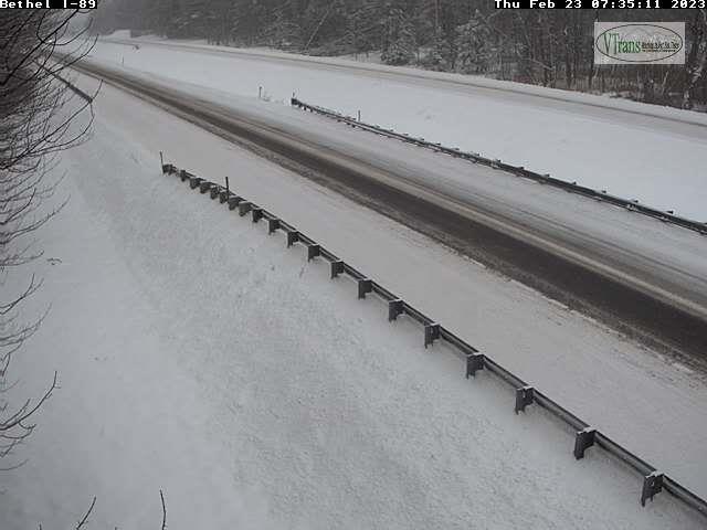
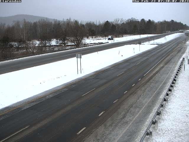
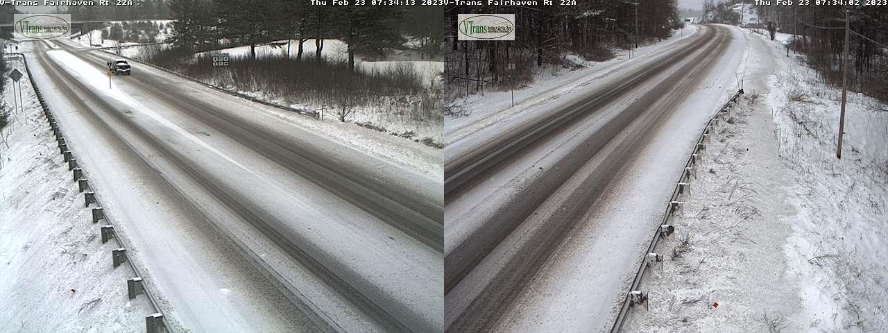
THURSDAY: Considerable cloudiness. Scattered wet snow showers or valley flurries. Light coating in the morning. Slightly warmer. A high 35 to 40. Northwest winds 10 mph later on.

Looking further ahead

THURSDAY NIGHT: Partly to mostly cloudy. Stray mountain flurries northern areas with a dusting in spots. A low in the teens.

FRIDAY: Filtered sunshine thru high cloudiness thickening up late. A high mid to upper 30s.

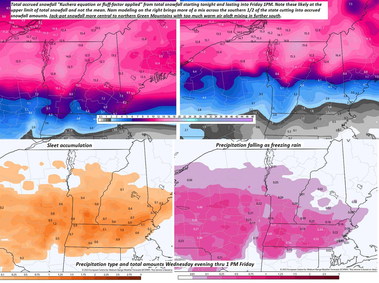
SATURDAY: Overcast. Accumulating snow…moderate to briefly heavy at times. A risk for some sleet southern areas. Several inches of accumulation. A low 25 to 30. A high 30 to 32.

SUNDAY: Mainly gray. Lingering snow showers with light accumulations. A low mid-20s. A high 30 to 32.

MONDAY: Mostly sunny except for more clouds toward the NE Vermont. A low in the mid-20s. A high 32 to 35.

Average lows upper single digits to mid-teens. Average highs ranging thru the 30s.

Climatological winter ends March 9th… Vernal equinox March 20th as we start spring

RH/3-1 forecast][end]

Updated Tuesday Evening Forecast — February 28th, 2023

Winter Weather Advisory into this evening Lamoille, Washington Counties & points south…

TONIGHT: Evening snow showers winding down. A dusting to an inch with the most across Northeast Kingdom. Otherwise becoming partly cloudy. A low 15 to 20. Winds becoming to westerly light speeds.

TOMORROW: Cloudy. Scattered flurries developing late southern areas. A high upper 30s to near 40. Light southeast winds.

WEDNESDAY NIGHT: Lots of clouds. Scattered snow showers or flurries. A light coating in spots. A low 30 to 32. Light southeast winds.

THURSDAY: Considerable cloudiness with a few leftover wet snow showers or flurries but little accumulation. Intervals of late afternoon sun & mild. A high upper 30s to near 40. Northwest winds 10 mph later on.

Looking further ahead

THURSDAY NIGHT: Evening clouds then clearing skies. A low 10 to 15.

FRIDAY: Filtered sunshine giving way to thickening afternoon clouds. A high mid to upper 30s.

SATURDAY: Overcast. Chance for wet accumulating snow. Potentially a few to several inches. A low 25 to 30. A high 30 to 32.

SUNDAY: Clouds and scattered flurries give way to partial clearing late. A low mid-20s. A high around 32.

Average lows upper single digits to mid-teens. Average highs ranging thru the 30s.

Climatological winter ends March 9th… Vernal equinox March 20th as we start spring

RH/2-28 forecast][end]

Updated Tuesday Morning Weather — February 28th, 2023

Winter Weather Advisory thru 7 PM Lamoille, Washington Counties & points south…

TODAY: Gray skies. Accumulating light snow with about 2 to 4”. Higher amounts southern Green Mountains. A high around 32. Southeast winds 10 to 15 mph.

TONIGHT: Evening snow showers winding down. A dusting to an inch with the most across Northeast Kingdom. Otherwise becoming partly cloudy. A low upper teens to low 20s. Winds shifting to westerly light speeds.

WEDNESDAY: Cloudy. Chance for accumulating snow showers or flurries late. Minor accumulation. A high upper 30s to near 40. Light east to southeast winds.

Looking further ahead

WEDNESDAY NIGHT: Lots of clouds. Scattered light snow showers or flurries with a light slushy coating. A risk of spotty light mixed precipitation central and southern areas with slick travel. A low 30 to 32.

THURSDAY: Considerable cloudiness with a few leftover wet snow showers or flurries but little accumulation. Intervals of late afternoon sun & mild. A high mid-30s northern areas to low 40s elsewhere.

FRIDAY: Filtered sunshine giving way to thickening afternoon clouds. A low in the teens. A high around 35.

SATURDAY: Overcast. Chance for wet accumulating snow. Potentially a few to several inches. A low 25 to 30. A high in the mid-30s.

Average lows upper single digits to mid-teens. Average highs ranging thru the 30s.

Climatological winter ends March 9th… Vernal equinox March 20th as we start spring

RH/2-28 forecast][end]

Updated Monday Evening Forecast — February 27th, 2023

Winter Weather Advisory midnight thru 7 PM especially central and southern Green Mountains…

TONIGHT: Cloudy. Light accumulating snow developing southern area overspreading northern areas overnight. A dusting NE Vermont & up to 3 inches southern areas. A low mid-teens to near 20. Southeast winds 10 mph

TOMORROW: Gray skies. Accumulating light snow likely, with 3 to locally 7”most across southern Green Mountains. A high in the lower 30s. Southeast winds 10 to 15 mph.

TUESDAY NIGHT: Evening snow showers exiting. A dusting to locally 2” especially Northeast Kingdom. Otherwise becoming partly cloudy. A low upper teens to low 20s. Winds shifting to westerly light speeds.

WEDNESDAY: Cloudy. Chance for accumulating snow showers or flurries late. Minor accumulation. A high near 40. Light east to southeast winds.

Looking further ahead

WEDNESDAY NIGHT: Lots of clouds. Scattered light snow showers or flurries with pockets of light mixed precipitation central and southern areas. A low around 32.

THURSDAY: Considerable cloudiness with a few leftover wet snow showers or flurries. Intervals of late afternoon sun & mild. A high 35 to 40.

FRIDAY: Filtered sunshine giving way to thickening afternoon clouds. A low in the teens. A high upper 20s to near 30.

SATURDAY: Morning clouds then mostly sunny. Chance for accumulating snow later Saturday night. A low mid-teens to lower 20s. A high around 30.

Average lows upper single digits to mid-teens. Average highs ranging thru the 30s.

Climatological winter ends March 9th… Vernal equinox March 20th as we start spring

RH/2-27 forecast][end]

Updated Monday Morning Forecast — February 27th, 2023

TODAY: Any leftover stray flurries northern areas drying up. Otherwise partly to mostly sunny before increasing high clouds, thickening up late. A high in the upper 20s. Light northwest winds.

Winter Weather Advisory portions of southern Vermont…

TONIGHT: Cloudy. A rising chance for light accumulating snow central areas south overnight. A dusting to a couple inches. A low mid-teens to near 20. Southeast winds 10 mph

TUESDAY: Overcast. Accumulating snow likely, with 3 to locally 7”most across southern areas. A high in the lower 30s. Southeast winds 10 to 15 mph.

Looking further ahead

TUESDAY NIGHT: Evening snow showers exiting. A dusting to 2” mainly northeast Kingdom. Becoming partly cloudy. A low mid-teens to low 20s.

WEDNESDAY: Cloudy. Chance for accumulating snow showers or flurries late. Minor accumulation. A high near 40.

THURSDAY: Considerable cloudiness with a few leftover wet snow showers or flurries. Intervals of late afternoon sun & mild. A low 30 to 35. A high 35 to 40.

FRIDAY: Filtered sunshine giving way to thickening afternoon clouds. A low mid-single digits north to mid-teens south. A high upper 20s to near 30.

SATURDAY: Morning clouds then mostly sunny. Chance for accumulating snow later Saturday night. A low mid-teens to lower 20s. A high in the low 30s.

Average lows upper single digits to mid-teens. Average highs ranging thru the 30s.

Climatological winter ends March 9th… Vernal equinox March 20th as we start spring

RH/2-27 forecast][end]

Updated Friday Evening Forecast — February 24th, 2023

TONIGHT: Mostly clear and frigid, with some clouds developing late. A low ranging from 5 to 15 below zero. Light northwest winds.

TOMORROW: Mainly cloudy. Scattered snow showers or flurries with a light coating. Rather coldA high in the mid-teens. Little wind.

SATURDAY NIGHT: Variable cloudiness. Frigid. A low 5 below to 5 above. Little wind.

SUNDAY: Mainly cloudy. Occasional light snow showers or flurries about a half inch accumulation. A high near 30. Light south winds.

Looking further ahead

SUNDAY NIGHT: Scattered leftover flurries with a dusting in spots, gives way to partial clearing. A low zero to 10 above.

MONDAY: Morning clouds, give way to filtered sunshine. A high near 30.

TUESDAY: Overcast. Chance for accumulating snow, possibly a few inches. A low around 20. A high around 30.

WEDNESDAY: Mainly cloudy. Chance for lingering snow with some minor accumulation. A low 5 to 15 above. A high around 30.

Average lows upper single digits to mid-teens. Average highs in the low to mid-30s.

Climatological winter ends March 9th… Vernal equinox March 20th as we start spring

RH/2-24 forecast][end]

Updated Friday Morning Forecast — February 24th, 2023

TODAY: Scattered snow showers or flurries winding down mainly western areas exiting by mid-day. Some breaks or intervals of sun possible this afternoon.Blustery & colder. A high about 10 to 15 with lowered wind chills. Northwest winds 10 to 20 mph with possible blowing and drifting.

TONIGHT: Clear and frigid. A low ranging from 5 to 15 below zero. Light northwest winds.

SATURDAY: Filtered sunshine gives way to thickening clouds with a rising chance for scattered flurries with minor coatings. Well below normal in temperature.Frigid.A high 10 to 15. Little wind.

Looking further ahead

SATURDAY NIGHT: Variable cloudiness. Frigid. A low 5 below to 5 above.

SUNDAY: Mainly cloudy. Chance of flurries mainly northeastern Vermont A minor coating. A high near 30.

MONDAY: Morning clouds, give way to filtered sunshine. A low zero to 10 above. A high near 30.

TUESDAY: Overcast. Chance for accumulating snow, possibly a few inches. A low around 20. A high around 30.

WEDNESDAY: Mainly cloudy. Chance for lingering snow with some minor accumulation. A low 5 to 15 above. A high around 30.

Average lows upper single digits to mid-teens. Average highs in the low to mid-30s.

Climatological winter ends March 9th… Vernal equinox March 20th as we start spring

RH/2-23 forecast][end]

Updated Thursday Night Weather — February 23rd, 2023

TONIGHT: Cloudy. A period of light accumulating snow of wintry mix redevelops early… Accumulation 1 to 3 inches most northern areas.Lows about 5 to 15 northern and in the 20s southern Vermont. Light west to southwest winds.

TOMORROW: Mountain snow showers and valley flurries exiting in the afternoon just a light coating. Mostly cloudy.Blustery to windy and colder. A high about 10 to 15 with lowered wind chills. Northwest winds 10 to 20 mph with possible blowing and drifting.

FRIDAY NIGHT: Clear and frigid. A low ranging from 5 to 15 below zero. Light northwest winds.

SATURDAY: Filtered sunshine gives way to thickening clouds with a rising chance for scattered snow showers or flurries with limited accumulation.Frigid.A high in the low to mid-teens. Little wind.

Looking further ahead

SATURDAY NIGHT: Variable cloudiness. Frigid. A low 10 below to 5 above.

SUNDAY: Mainly cloudy. Chance for fluffy snow showers & flurries. A dusting to an inch. A high 25 to 30.

MONDAY: Morning clouds, give way to filtered sunshine. A low zero to 10 above. A high around 30.

TUESDAY: Overcast. Chance for snow or mixed precipitation…possibly a few to several inches. A low around 20. A high 30 to 32.

WEDNESDAY: Mainly cloudy. Chance for lingering snow or mixed precipitation with some accumulation. A low in the teens. A high around 30.

Average lows upper single digits to mid-teens. Average highs in the low to mid-30s.

Climatological winter ends March 9th… Vernal equinox March 20th as we start spring

RH/2-23 forecast][end]

Updated Thursday Morning Forecast — February 23rd, 2023

TODAY: Gray.Periods of snow…winding down mid-morning to Isolated to widely scattered snow showers northern areas. Mixed precipitation with more limited accumulation will produce slippery travel.Total accumulation 4 to 9”.A high in the mid-20s. Light east winds.

TONIGHT: Cloudy. A light wintry mix changing back to scattered snow showers/flurries. Accumulation dusting to locally 3” with the most northern areas.Lows about 5 to 15 northern and in the 20s southern Vermont. Light southwest winds.

FRIDAY: Mountain snow showers and valley flurries exiting in the afternoon. Otherwise considerable cloudiness.Blustery to windy and colder. A high about 10 to 15 with lowered wind chills. Northwest winds 10 to 25 mph causing blowing and drifting and possible white-outs.

Looking further ahead

FRIDAY NIGHT: Evening clouds then mostly clear and frigid. A low ranging from 5 to 20 below zero.

SATURDAY: Filtered sunshine gives way to thickening clouds with a rising chance for scattered snow showers or flurries with up to a couple inches of fluffy snow.Frigid.A high 10 to 15.

SUNDAY: Mainly cloudy. Chance for fluffy snow showers & flurries. A dusting to an inch or two possible. Frigid. A low 10 below to 5 above. A high 25 to 30.

MONDAY: Filtered sunshine thru high cloudiness. A low zero to 10 above. A high around 30.

TUESDAY: Overcast. Chance for snow or mixed precipitation…possibly a few to several inches. A low upper teens to mid-20s. A high upper 20s to mid-30s.

Average lows upper single digits to mid-teens. Average highs in the low to mid-30s.

Climatological winter ends March 9th… Vernal equinox March 20th as we start spring

RH/2-23 forecast][end]

Updated Wednesday Evening Forecast — February 22nd, 2023

Winter Storm Warning this evening lasting into Thursday afternoon…

TONIGHT: Cloudy. Periods of accumulating snow developing later this evening, moderate to briefly heavy at times overnight. About 4 to locally 9” accumulation. A wintry mix southern areas overnight with lesser amounts.A low mid-teens to low-20s. Light northeast wind.

TOMORROW: Gray.Periods of snow…winding down mid-morning. Isolated to widely scattered mixed precipitation lingering.Slick travel with light accumulations up to couple tenths of an inch of glazing south. Total accumulation 6 to 12”. A high near 25. Light east winds.

THURSDAY NIGHT: Cloudy. A light wintry mix changing back to scattered snow showers/flurries. Accumulation dusting to 2” with the most northern tier.Temperatures holding in the mid-20s to low 30s. Light southwest winds.

FRIDAY: Scattered mountain flurries exiting early afternoon. Otherwise mostly cloudy.Blustery and sharply colder. Temperatures falling thru the mid and low teens with lowered wind chills. Northwest winds 10 to 25 mph and gusty

Looking further ahead

FRIDAY NIGHT: Evening clouds then mostly clear and frigid. A low ranging from 5 to 20 below zero.

SATURDAY: Filtered sunshine gives way to thickening clouds with a rising chance for flurries little accumulation.Frigid.A high 10 to 15.

SUNDAY: Mainly cloudy. Chance for fluffy snow showers & flurries. 1 to locally 4” accumulation possible. Frigid. A low 10 below to 5 above. A high 25 to 30.

MONDAY: Filtered sunshine thru high cloudiness. A low zero to 10 above. A high around 30.

TUESDAY: Overcast. Chance for snow or mixed precipitation…possibly significant amounts. A low upper teens to mid-20s. A high upper 20s to mid-30s.

Average lows upper single digits to mid-teens. Average highs in the low to mid-30s.

Climatological winter ends March 9th… Vernal equinox March 20th as we start spring

RH/2-22 forecast][end]