
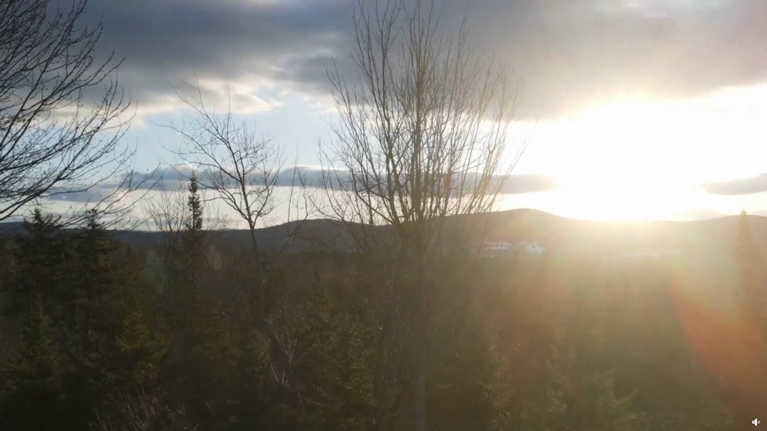
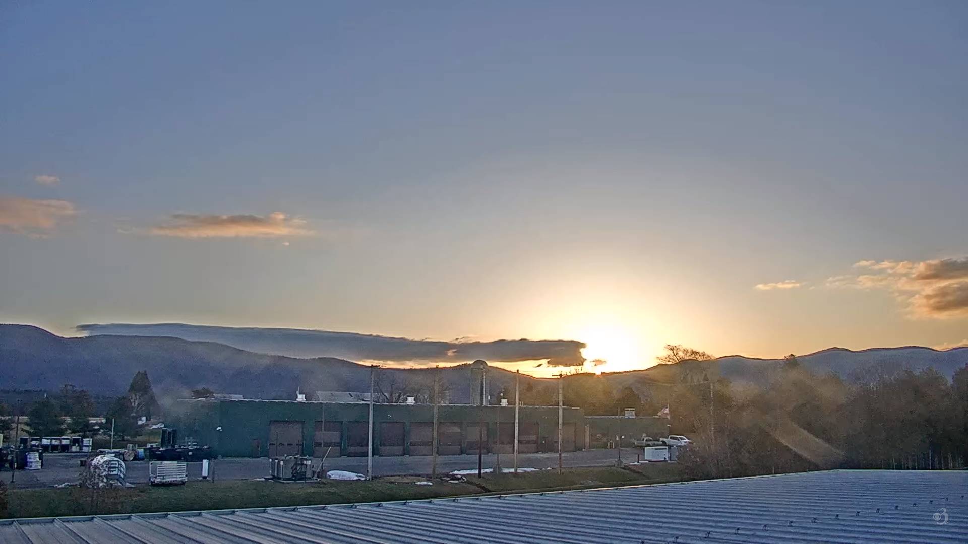
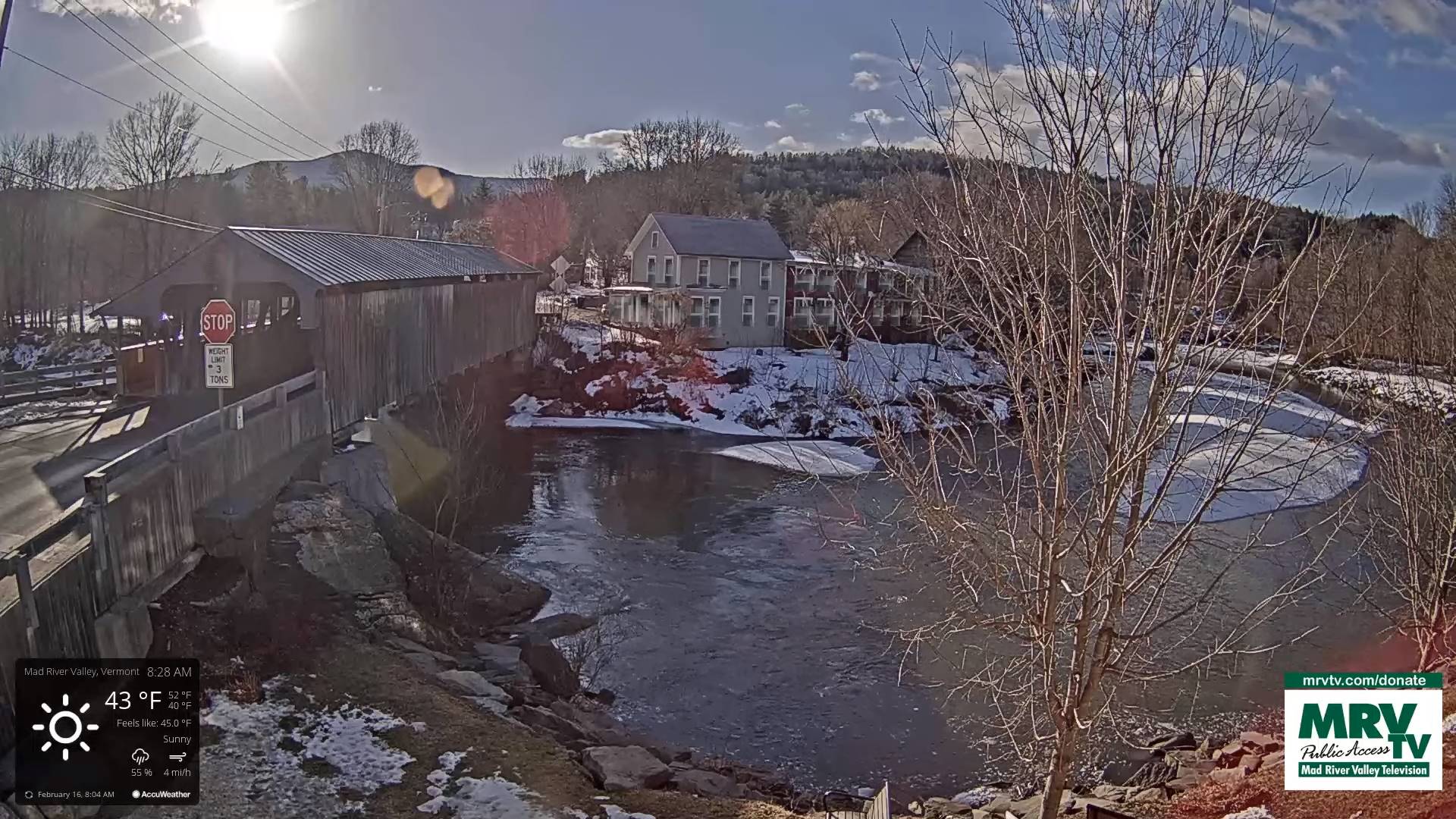
TODAY: Mixed sun and clouds and mild. Temperatures holding in the low to mid 40s. Light west to southwest winds.
Winter Weather Advisory 1 AM thru 7 PM Friday…
TONIGHT: Overcast. Rain showers southern areas with a wintry mix developing overnight northwestern areas spreading south and east toward daybreak. Ice accretion around ¼”promoting poor travel conditions. A low 30 to 32. Light southeast winds.
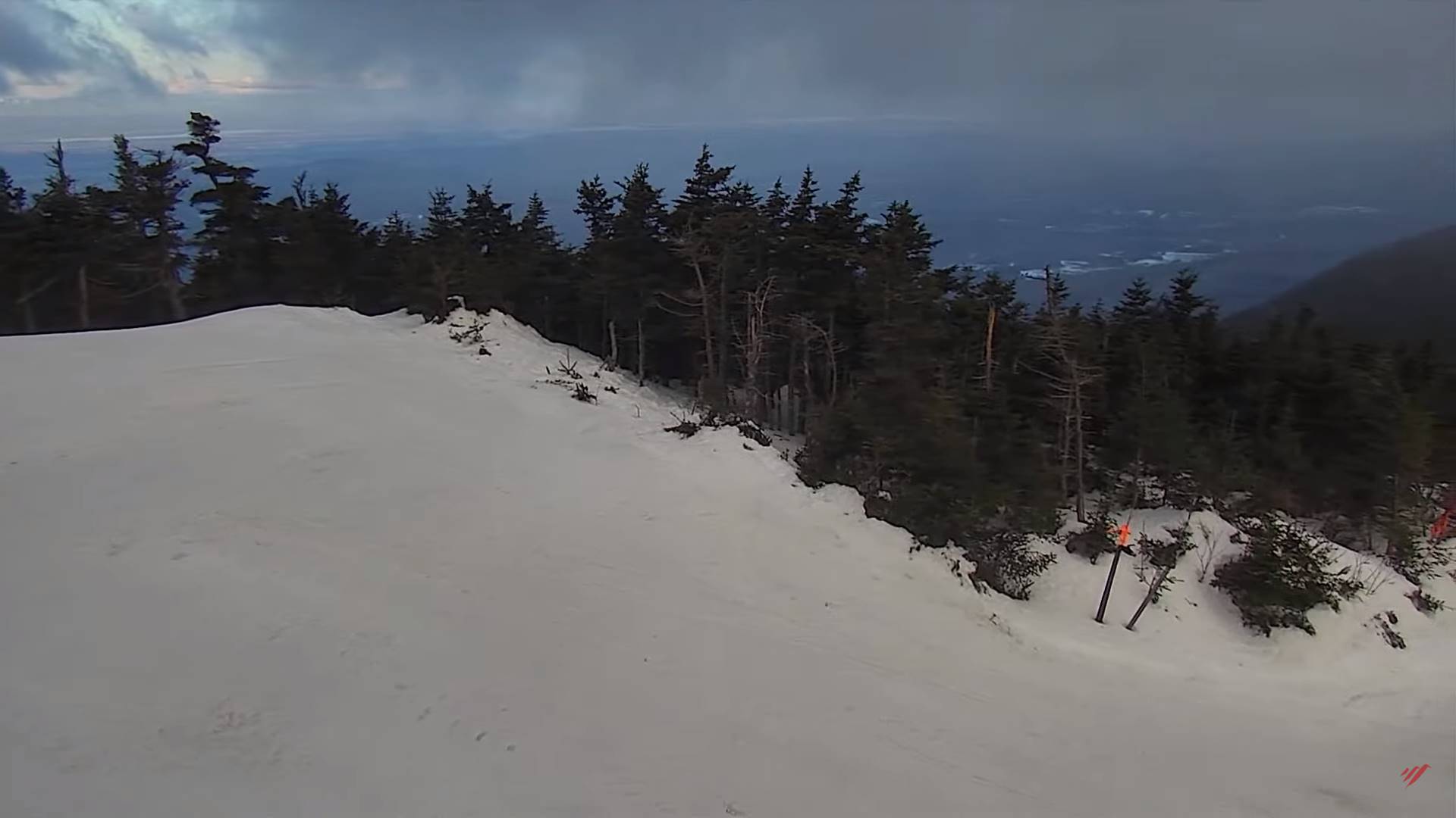
FRIDAY: Gray with a wintry mix and slick travel developing…tapering to scattered snow showers and flurries. Accumulations 1 to locally 3” most northern areas. Somebreaks of afternoon sun, Blustery. An early high 30 to 35…then falling through the 20s and blustery. Northwest winds 10 to occasionally 20 mph & gusty.
Looking further ahead

FRIDAY NIGHT: Becoming mostly clear and frigid.A low zero to 10 above.
SATURDAY: Periods of sunshine mixing with more clouds in the afternoon. A high 30 to 32.
SUNDAY: Filtered sunshine clouding up in the afternoon. Warmer. A low upper teens to mid-20s. A high 40 to 45.
MONDAY: Mostly cloudy. Scattered rain showers mixing with wet snow high terrain with minor accumulation. A low ranging upper 20s to mid-30s. A high 40 to 45.
Average lows upper digits to mid-teens. Average highs upper 20s to mid-30s.
Climatological winter ends March 9th… Vernal equinox March 20th as we start spring
RH/2-15forecast][end]
