
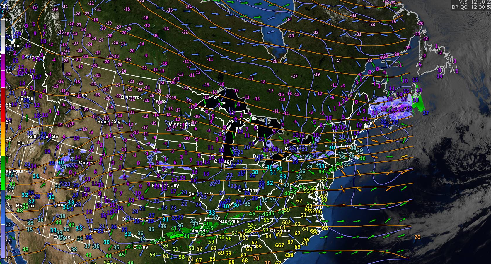
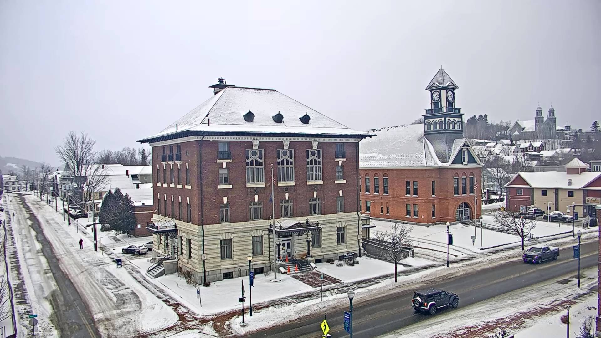
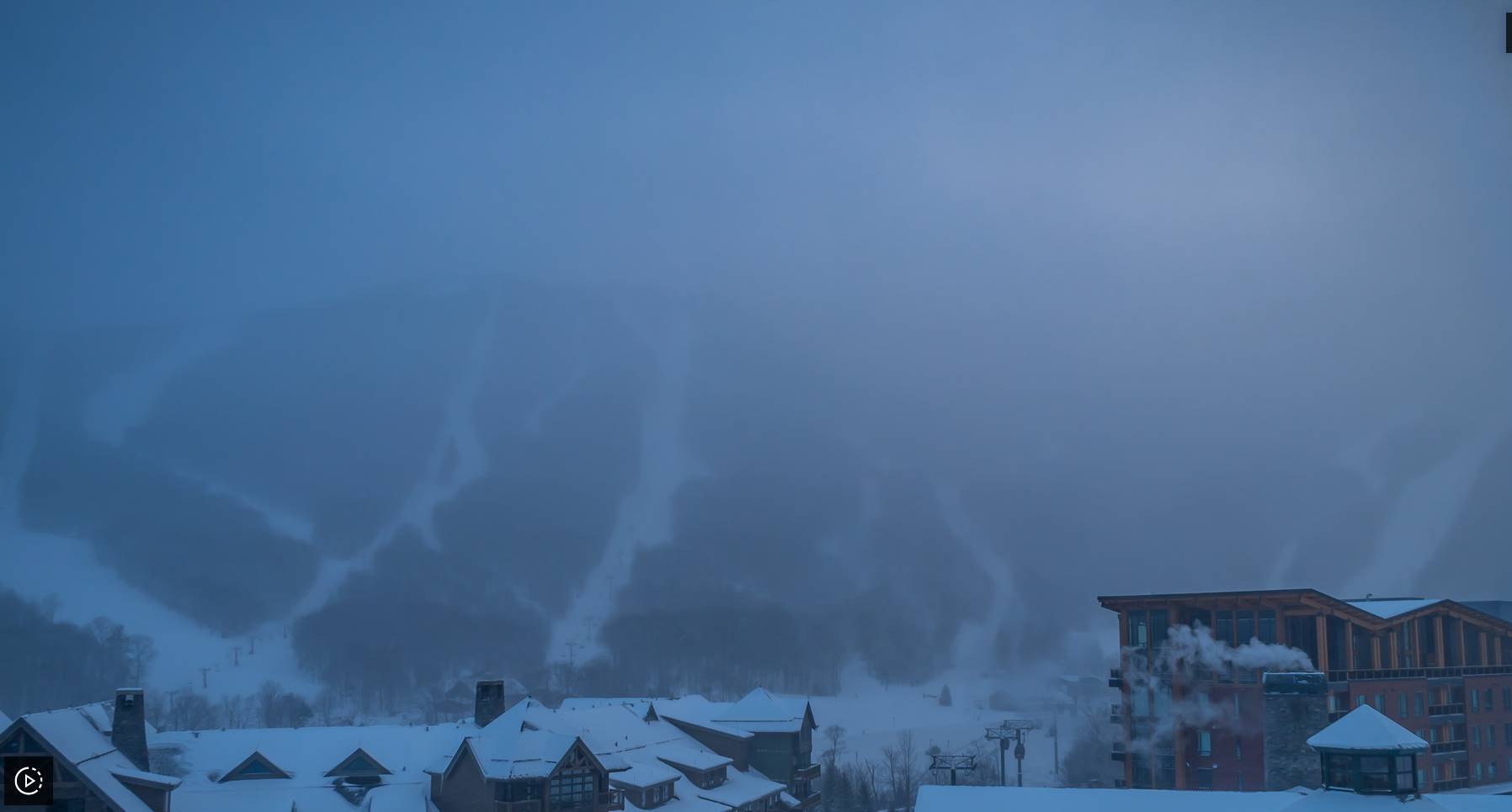
TODAY: Scattered snow showers or flurries winding down mainly western areas exiting by mid-day. Some breaks or intervals of sun possible this afternoon.Blustery & colder. A high about 10 to 15 with lowered wind chills. Northwest winds 10 to 20 mph with possible blowing and drifting.
TONIGHT: Clear and frigid. A low ranging from 5 to 15 below zero. Light northwest winds.
SATURDAY: Filtered sunshine gives way to thickening clouds with a rising chance for scattered flurries with minor coatings. Well below normal in temperature.Frigid.A high 10 to 15. Little wind.
Looking further ahead
SATURDAY NIGHT: Variable cloudiness. Frigid. A low 5 below to 5 above.
SUNDAY: Mainly cloudy. Chance of flurries mainly northeastern Vermont A minor coating. A high near 30.
MONDAY: Morning clouds, give way to filtered sunshine. A low zero to 10 above. A high near 30.
TUESDAY: Overcast. Chance for accumulating snow, possibly a few inches. A low around 20. A high around 30.
WEDNESDAY: Mainly cloudy. Chance for lingering snow with some minor accumulation. A low 5 to 15 above. A high around 30.
Average lows upper single digits to mid-teens. Average highs in the low to mid-30s.
Climatological winter ends March 9th… Vernal equinox March 20th as we start spring
RH/2-23 forecast][end]
