
TONIGHT: Mostly clear and frigid, with some clouds developing late. A low ranging from 5 to 15 below zero. Light northwest winds.
TOMORROW: Mainly cloudy. Scattered snow showers or flurries with a light coating. Rather coldA high in the mid-teens. Little wind.
SATURDAY NIGHT: Variable cloudiness. Frigid. A low 5 below to 5 above. Little wind.
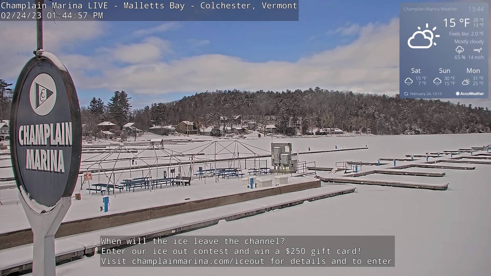
SUNDAY: Mainly cloudy. Occasional light snow showers or flurries about a half inch accumulation. A high near 30. Light south winds.
Looking further ahead
SUNDAY NIGHT: Scattered leftover flurries with a dusting in spots, gives way to partial clearing. A low zero to 10 above.
MONDAY: Morning clouds, give way to filtered sunshine. A high near 30.
TUESDAY: Overcast. Chance for accumulating snow, possibly a few inches. A low around 20. A high around 30.
WEDNESDAY: Mainly cloudy. Chance for lingering snow with some minor accumulation. A low 5 to 15 above. A high around 30.
Average lows upper single digits to mid-teens. Average highs in the low to mid-30s.
Climatological winter ends March 9th… Vernal equinox March 20th as we start spring
RH/2-24 forecast][end]
