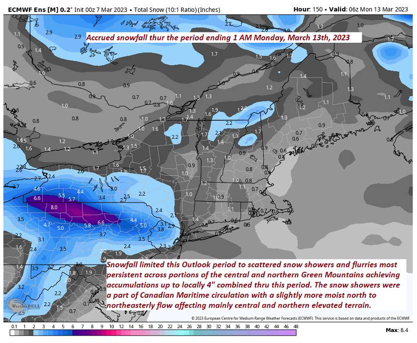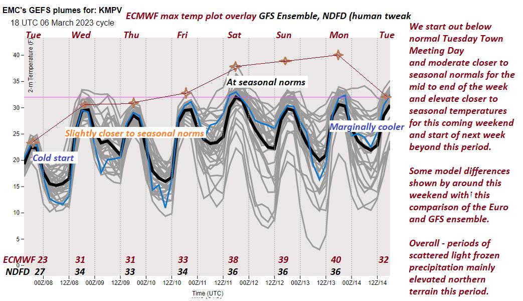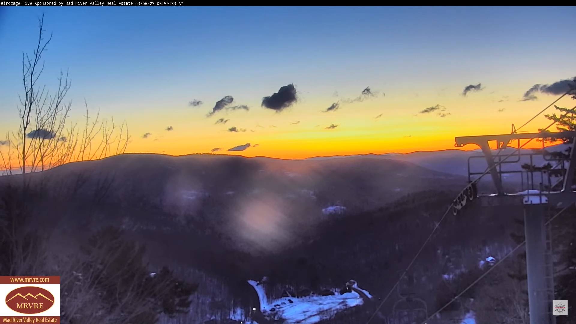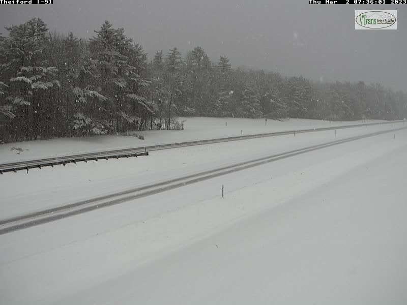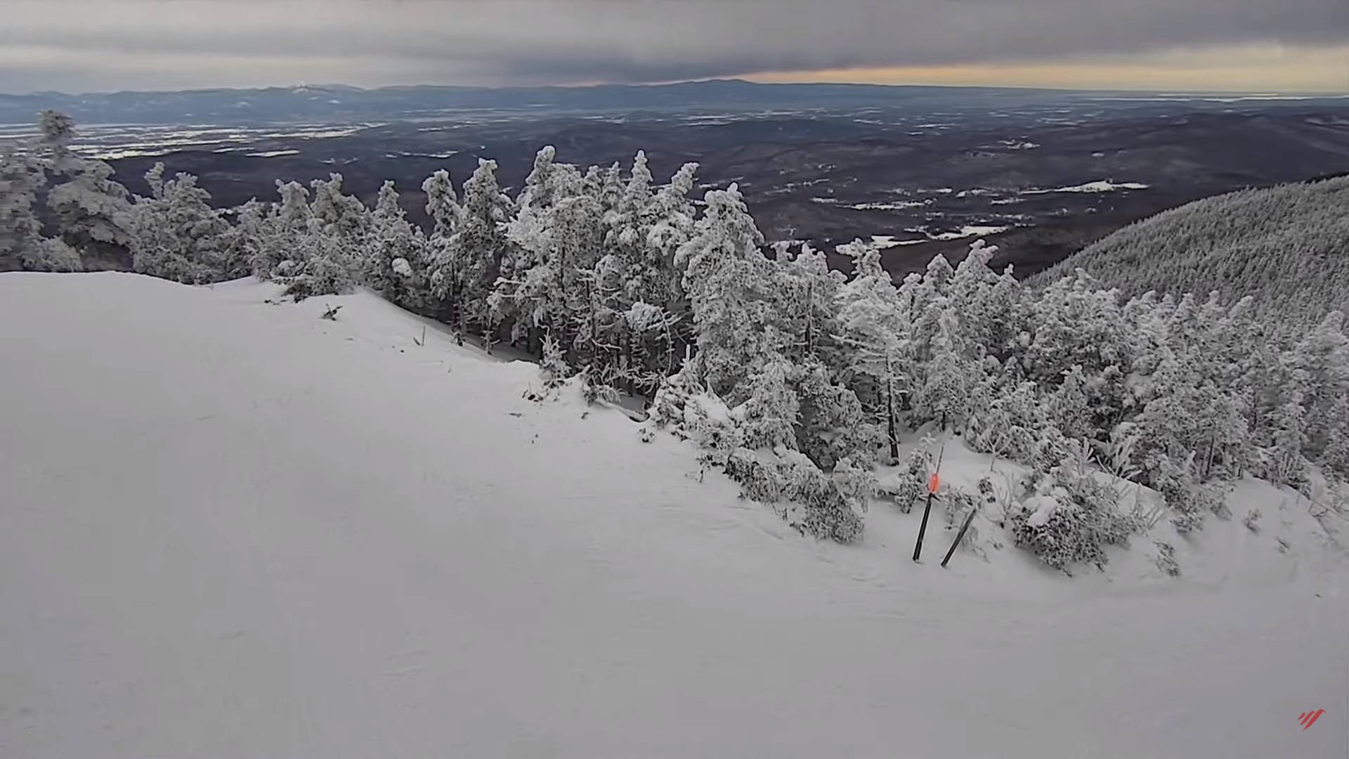
TODAY: Cloudy with breaks of sun eastern valleys. Widely scattered flurries northern areas with a dusting this morning. A high near 35 Northwest winds 10 mph in the afternoon.
TONIGHT: Lots of clouds. Scattered flurries and mountain snow showers a dusting to less than an inch northern areas. A low 20 to 25. Light northwest winds.
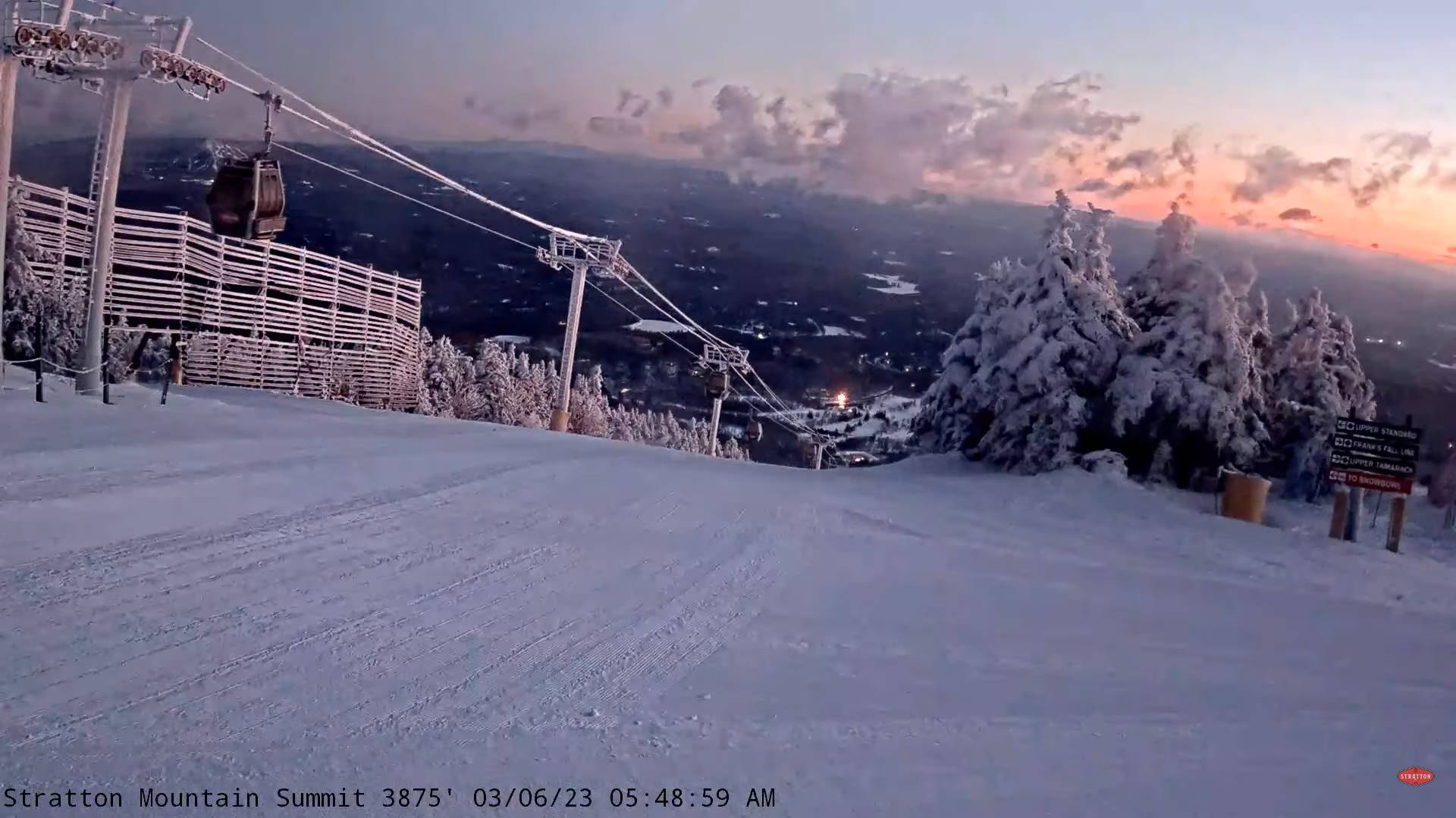
THURSDAY: Mostly cloudy. Scattered flurries lingering, little more than a dusting accumulation. A high 32 to 35. Northwest winds 10 mph.
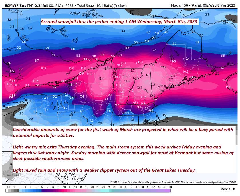
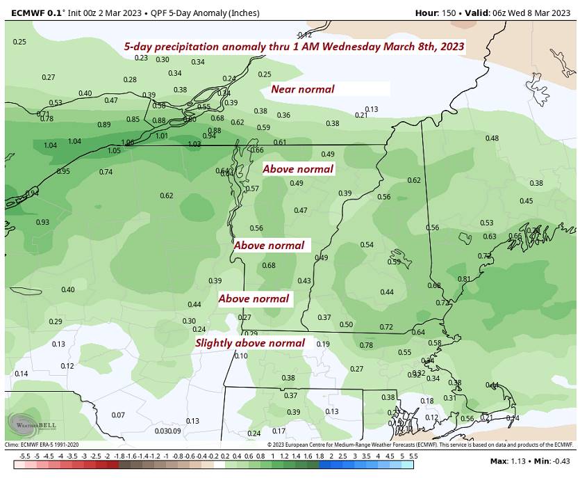
Looking further ahead
THURSDAY NIGHT: Evening cloudiness with a few stray flurries a dusting far northern areas. Partial clearing develops overnight. A low upper teens to low-20s.
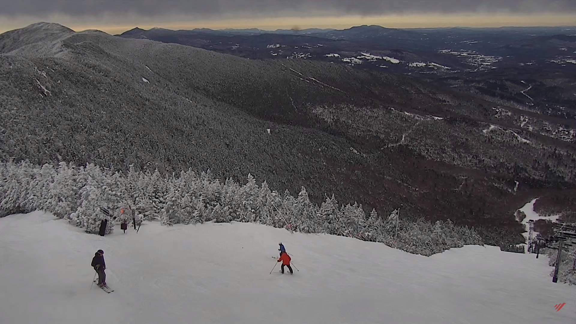
FRIDAY: Variably cloudy but dry. A high around 35.
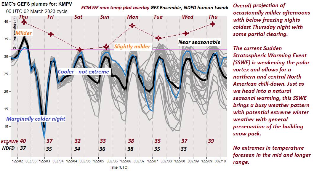
SATURDAY: Filtered sun in the morning then clearing to mostly sunny skies. A low 15 to 20. A high pushing to near 40. (Sap run)
SUNDAY: A beauty. Bright sunshine and a little milder with few more high clouds late. A low in the teens. A high upper 30s to lower 40s. (Sap run).
MONDAY: Cloudy. Chance for snow or snow showers…developing in the afternoon. A low in the teens. A high near 35.
Average lows in the teens. Average highs mid-30s to around 40.
Climatological winter ends March 9th… Vernal equinox March 20th as we start spring
RH/3-7 forecast][end]