Updated Thursday Evening forecast — December 5th, 2019

TONIGHT: Scattered mountain snow showers and valley flurries this evening…winding down overnight. Accumulation of dusting to an inch especially near the Green Mountains. Otherwise mostly cloudy. A low around 15. West to northwest winds 10 mph.
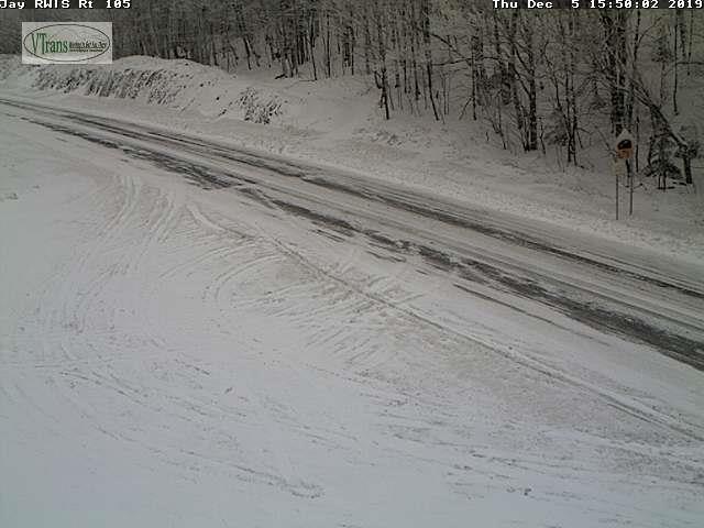
TOMORROW: Cloudy. Chance for light accumulating snow late morning on with a dusting far north to locally 3” southern areas. A high in the mid 20s. Light southwest winds.

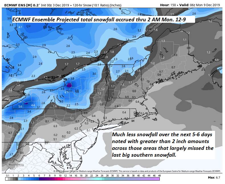
FRIDAY NIGHT: Occasional light accumulating snow through midnight exiting as isolated flurries. A dusting to less than an inch. A low ranging through the teens. Light northwest winds

SATURDAY: Clouds with intervals of sun. A high in the low 20s. Northwest winds 10 mph.

Looking further ahead…

SATURDAY NIGHT: Mostly clear & frigid. A low zero to 10 above.

SUNDAY: Sunshine mixing with more clouds in the afternoon. A high upper 20s.

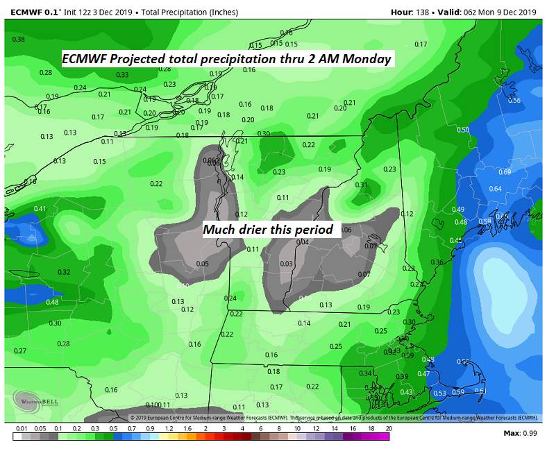
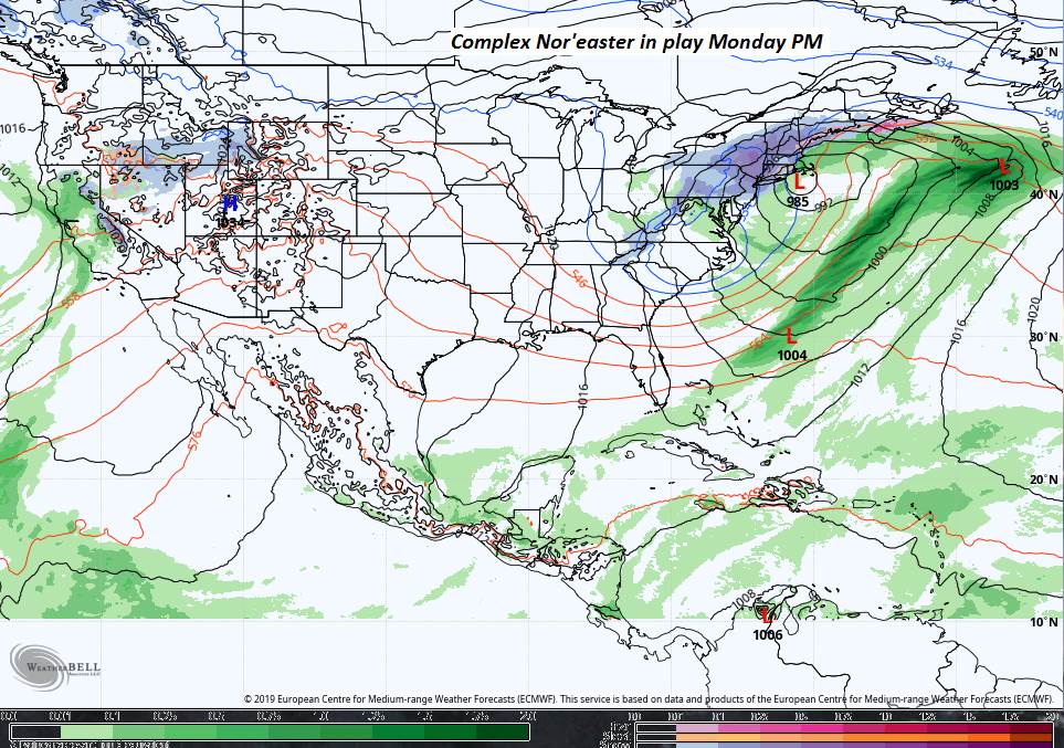
MONDAY: Gray. Chance for rain developing toward mid day. Watch for possible slick travel sub-freezing ground surfaces. Temperatures rising into the low 40s.

TUESDAY: Chance for rain showers changing to snow showers or flurries later in the day. Otherwise breaks of afternoon sun developing. A low 35 to 40. A high 40 to 45.
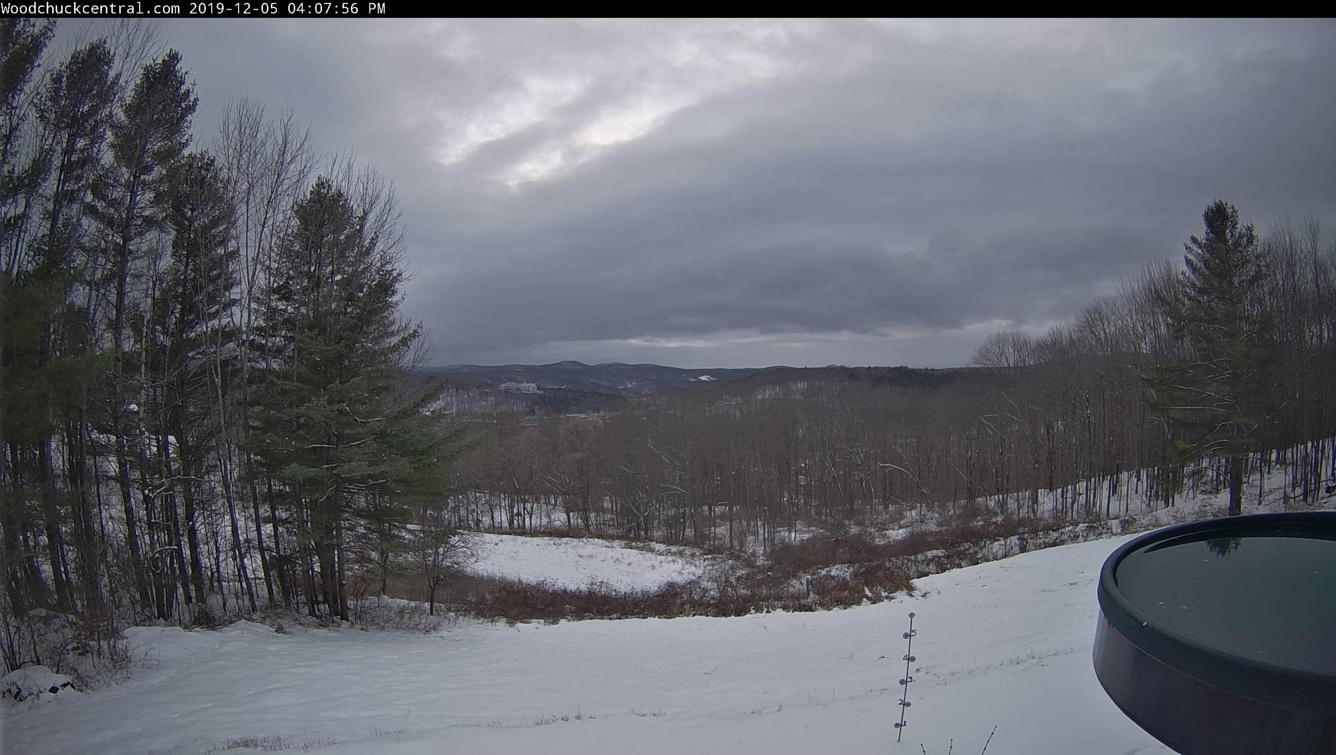
Average lows 20 to 25, average highs in the 30s
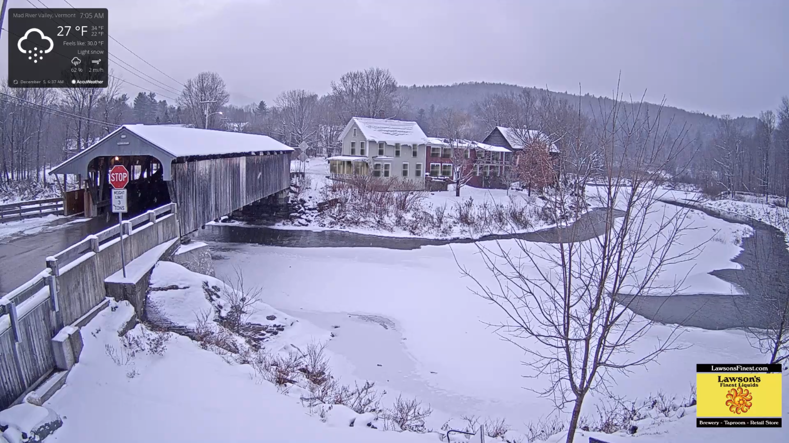
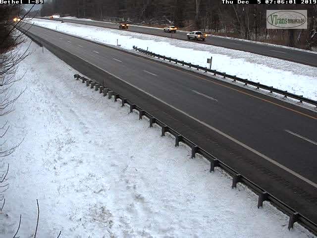
Updated Thursday morning Forecast — December 5th, 2019

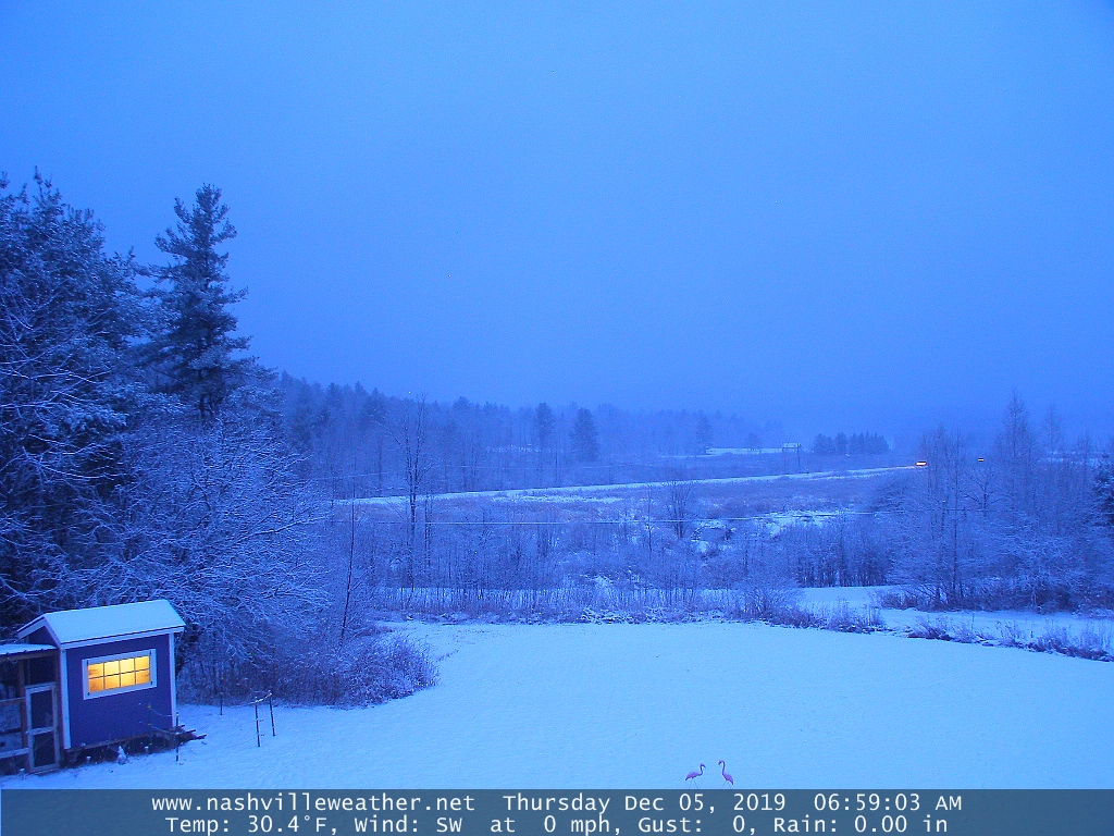
TODAY: Mostly cloudy and blustery at times. Occasional mountain snow showers and valley flurries. Dusting to an inch across higher terrain. A high around 32. West to northwest winds 10 to 15 mph.

TONIGHT: Scattered mountain snow showers and valley flurries with some minor accumulation in the evening diminishing overnight. Otherwise mostly cloudy. A low around 15. West to northwest winds 10 to 15 mph.

FRIDAY: Intervals of sun early, then cloudy. Chance for flurries northern areas. Light accumulating snow toward Rutland with an inch or two. A high in the mid to upper 20s. Light west winds.

Looking further ahead…

FRIDAY NIGHT: Mostly cloudy with scattered flurries winding down. A low ranging through the teens.

SATURDAY: Mixed clouds and sun. A high in the low 20s.

SUNDAY: Sunshine mixed with clouds.A low single digits. A high upper 20s.

MONDAY: Gray. Chance for rain developing late morning on. Possible slick travel sub-freezing ground surfaces. Temperatures rising to near 40.

TUESDAY: Cloudy. Chance for rain with areas of fog. A low in the mid 30s to near 40. A high pushing to near 45.

Average lows 20 to 25, average highs in the 30s
RH/12-5-19[end]

Updated Wednesday Evening Forecast — December 4th, 2019

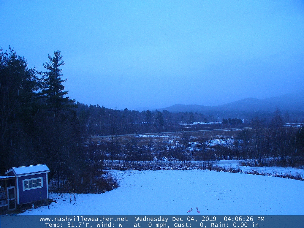
TONIGHT: Lots of clouds. Occasional flurries with a light skiff of snow in spots northern areas. A low in the low 20s. Light southwest winds.

TOMORROW: Mostly cloudy and blustery at times. Occasional mountain snow showers and valley flurries. Dusting to an inch across higher terrain. A high in the low 30s. West to northwest winds 10 to 20 mph.

THURSDAY NIGHT: Scattered mountain snow showers and valley flurries with some minor accumulation in the evening diminishing overnight. Otherwise mostly cloudy. A low 15 to 20. West to northwest winds 10 to 15 mph.

FRIDAY: Intervals of sun early, then cloudy. Chance for flurries northern areas. Chance for light accumulating snow south of the Barre-Montpelier area. A high in the mid to upper 20s. Light west winds.

Looking further ahead…

FRIDAY NIGHT: Scattered clouds. A low ranging 10 to 15.

SATURDAY: Morning clouds, then mostly sunny. A high in the low 20s.

SUNDAY: Sunshine mixed with clouds.A low zero to 10 above. A high upper 20s.

MONDAY: Gray. Chance for rain. Possible slick travel sub-freezing ground surfaces. Temperatures rising to near 40.

TUESDAY: Mainly cloudy. Scattered rain showers mixing with wet snow in the afternoon. A low near 30. A high pushing to near 45

Average lows 20 to 25, average highs in the 30s
RH/12-4-19[end]

Updated Wednesday morning Forecast — December 4th, 2019

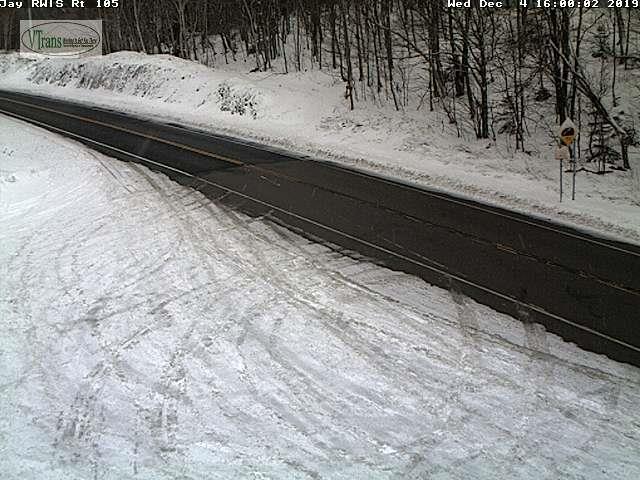
TODAY: Lots of clouds. Isolated flurries Champlain Valley and Green Mountains later this afternoon. A high 32 to 35. Light southwest winds.

TONIGHT: Lots of clouds. Occasional flurries with a dusting to half inch fluffy snow. A low 20 to 25. Light southwest winds.

THURSDAY: Mostly cloudy and blustery at times. Scattered mountain snow showers and valley flurries. Dusting to an inch elevated terrain. A high 30 to 35. West to northwest winds 10 to 20 mph.

Looking further ahead…

THURSDAY NIGHT: Scattered mountain snow showers and valley flurries with some minor accumulation in the evening diminishing overnight. A low 15 to 20.

FRIDAY: Intervals of sun early, then cloudy. Chance for flurries northern areas with light accumulating snow central and southern areas. A high 25 to 30.

SATURDAY: Morning clouds, then mostly sunny. A low 10 to 15. A high mid 20s.

SUNDAY: Sunshine mixed with clouds.A low 5 to 10 above. A high upper 20s to around 30.

MONDAY: Gray. Chance for rain. Possible slick travel sub-freezing ground surfaces. Temperatures in the 30s rising to near 40.

TUESDAY: Mainly cloudy. Scattered rain showers mixing with wet snow in the afternoon. A low 32 to 35. A high in the 40s.

Average lows 20 to 25, average highs in the 30s
RH/12-4-19[end]

Updated Tuesday Evening Forecast — December 3rd, 2019

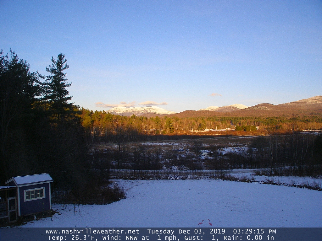
TONIGHT: Clear this evening then clouding up. A low in the upper teens. Light northwest winds.

TOMORROW: Mainly cloudy. Rising chance for flurries. A high 32 to 35. Light southwest winds.

WEDNESDAY NIGHT: Lots of clouds. Chance for flurries. A low around 25. Light southwest winds.

THURSDAY: Mostly cloudy and blustery at times. Scattered mountain snow showers and valley flurries. A high in the low 30s. West to northwest winds 10 to 20 mph.

Looking further ahead…

THURSDAY NIGHT: Scattered mountain snow showers and valley flurries with some minor accumulation. A low 15 to 20.

FRIDAY: Intervals of sun early, then clouding up. Slight chance for flurries northern areas. Chance for light accumulating snow southern areas late. A high 25 to 30.

SATURDAY: Morning clouds, then mostly sunny. A low 10 to 15. A high mid 20s.

SUNDAY: Sunshine mixed with clouds.A low in the single digits above zero. A high 30 to 35. :

Average lows in the low to mid 20s, average highs mid to upper 30s

RH/12-2-19[end]

Updated Tuesday Morning Forecast — December 3rd, 2019

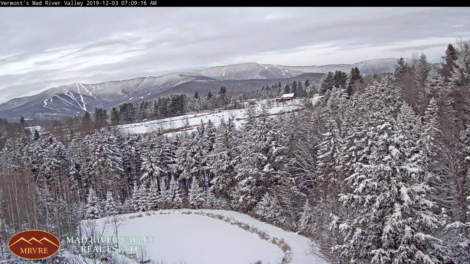
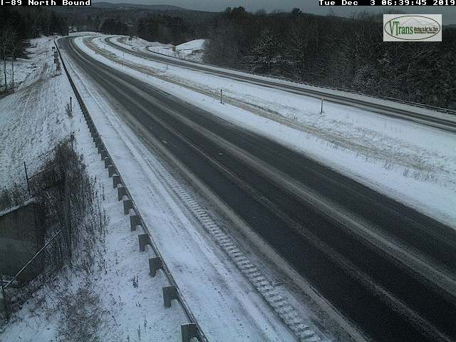
TODAY: Morning clouds giving way to periods of sunshine west to east. A high 25 to 30. North to northwest winds 10 to 15 mph.

TONIGHT: Clear this evening then clouding up. A low in the upper teens. Light northwest winds.

WEDNESDAY: Mainly cloudy. Rising chance for flurries. A high 32 to 35. Light southwest winds.

Looking further ahead…

WEDNESDAY NIGHT: Lots of clouds. Chance for flurries. A low around 25.

THURSDAY: Mostly cloudy. Scattered mountain snow showers and valley flurries. A high in the low 30s.

FRIDAY: Intervals of sun early, then clouding up. A rising chance for accumulating light snow in the afternoon especially southern areas. A low 15 to 20. A high 25 to 30.

SATURDAY: Morning clouds, then mostly sunny. A low 10 to 15. A high mid 20s.

SUNDAY: Sunshine mixed with clouds.A low in the single digits above zero. A high 30 to 35. :

Average lows in the low to mid 20s, average highs mid to upper 30s

RH/12-2-19[end]

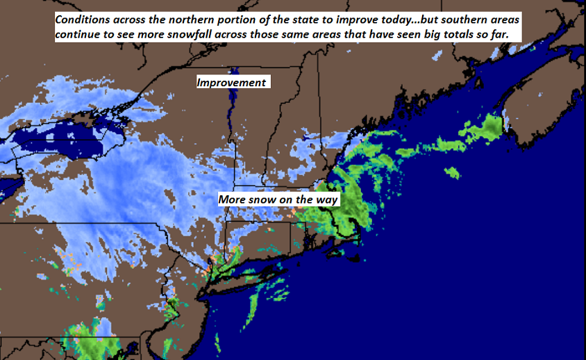
Updated Monday Evening Forecast — December 2nd, 2019

Winter Weather Advisory Windsor/Rutland Counties into tonight.

TONIGHT: Occasional light accumulating snow south and east of the Barre-Montpelier area exiting toward daybreak. Accumulation a dusting to couple inches. Otherwise remaining cloudy. A low in the upper teens. Light north winds.

TOMORROW: A few clouds early then partly to mostly sunny. A high mid to upper 20s. Northwest winds 10 to 15 mph.

TUESDAY NIGHT: Clear in the evening then lots of clouds. A low near 20. Light northwest winds.

WEDNESDAY: Mainly cloudy. Rising chance for flurries late. A high 32 to 35. Light southwest winds.

Looking further ahead…

WEDNESDAY NIGHT: Lots of clouds. Chance for flurries. A low around 25.

THURSDAY: Mostly cloudy. Scattered mountain snow showers and valley flurries. A high around 32.

FRIDAY: Intervals of sun in the morning then clouding up. A rising chance for accumulating light snow in the afternoon. A low in the teens. A high around 25.

SATURDAY: Morning clouds, then partly sunny. A low 10 to 15. A high mid 20s.

SUNDAY: Sunshine mixed with clouds.A low in the single digits above zero. A high 30 to 35. :

Average lows in the low to mid 20s, average highs mid to upper 30s

RH/12-2-19[end]

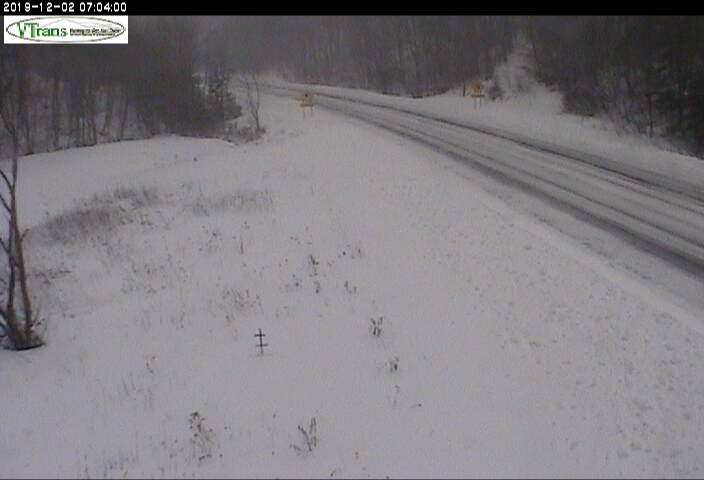
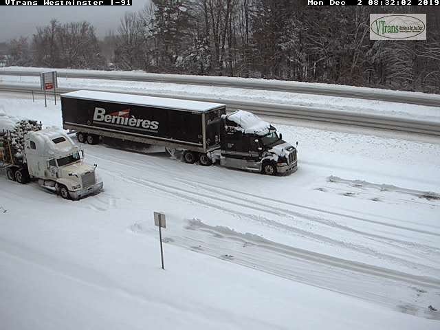
Updated Monday morning Forecast — December 2nd, 2019

Winter Storm Warning Windsor/Rutland Counties south Winter Weather Advisory Orange County thru 7 AM Tuesday

TODAY: Gray. Occasional light snow tapering off this morning northern areas…continuing south of the Barre-Montpelier area, with additional 1 to locally 3” accumulation Rutland to Windsor counties and further south. A high near 32. Light northeast winds.

TONIGHT: Mostly cloudy. Light accumulating snow south and east of the Barre-Montpelier area exiting mid morning. A low in the upper teens. Light north winds.

TUESDAY: Chance for a few mountain flurry. Otherwise becoming partly to mostly sunny in the afternoon. A high in the mid to upper 20s. Northwest winds 10 to 15 mph.

Looking further ahead…

TUESDAY NIGHT: Mostly clear in the evening then more clouds. A low 15 to 20.

WEDNESDAY: Considerable cloudiness. Slight chance for brief snow shower or flurries. A high around 35.

THURSDAY: Mostly cloudy. Scattered mountain snow showers and valley flurries. A low in the mid 20s. A high near 32.

FRIDAY: Clouds mixed with intervals of sunshine. A rising chance for snow showers with some accumulation possible in the afternoon. A low in the teens. A high in the low to mid 30s.

Average lows in the low to mid 20s, average highs mid to upper 30s

RH/12-2-19[end]

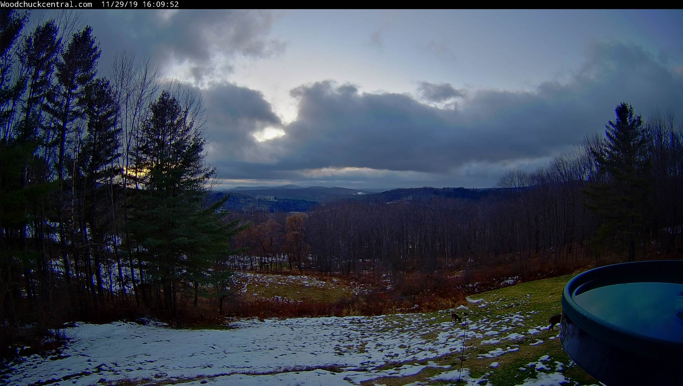
Updated Friday Evening Forecast — November 29th, 2019

TONIGHT: Isolated mountain flurries this evening, otherwise gradual clearing. A low around 15. Northwest winds 10 mph.

TOMORROW: A few mountain clouds northern areas otherwise considerable sunshine. A high around 25. Winds northwesterly 10 to 15 mph.

SATURDAY NIGHT: Mostly clear with some high clouds.A low around 10 above. Light northwest winds.

SUNDAY: High cloudiness in the morning, thickening in the afternoon. Accumulating snow developing southern Vermont spreading north in the afternoon. A high 25 to 30. Light east winds.

Looking further ahead…

SUNDAY NIGHT: Overcast. Periods of mostly light snow central and northern areas…tapering off overnight. Significant snowfall toward southern areas. A low in the low 20s.

MONDAY: Gray. Good chance for accumulating snow especially in the afternoon. Chance for significant snowfall S. VT. A high mid to upper 20s.

TUESDAY: Chance for light accumulating snow or snow showers. Temperatures in the 20s.

WEDNESDAY: Partly sunny. A low zero to 10 above. A high in the low 30s.

Average lows in the low to mid 20s, average highs 35 to 40.

RH/11-29-19[end]

Updated Friday morning Forecast — November 29th, 2019

TODAY: Cloudiness lingers into mid day giving way partial sunshine but chilly. A high in the mid to upper 20s. Northwest winds 10 to 15 mph.

TONIGHT: Mostly clear. A low in the mid teens. Northwest winds 10 mph.

SATURDAY: Sunny but chilly. A high around 25. Winds northwesterly 10 mph.

Looking further ahead…

SATURDAY NIGHT: Mostly clear with some high clouds.A low 10 to 15.

SUNDAY: High cloudiness in the morning thickening up in the afternoon. Chance for light accumulating snow developing late. A high in the low 30s.

MONDAY: Gray. Chance for snow showers mainly southern parts of Vermont. A low 20 to 25. A high near 32.

TUESDAY: A period of light accumulating snow giving way to flurries before exiting in early afternoon. Partly to mostly sunny in the afternoon. A low 15 to 20. A high mid to upper 20s.

Average lows in the low to mid 20s, average highs 35 to 40.

RH/11-29-19[end]