
Winter Storm Warning Windsor/Rutland Counties south Winter Weather Advisory Orange County thru 7 AM Tuesday
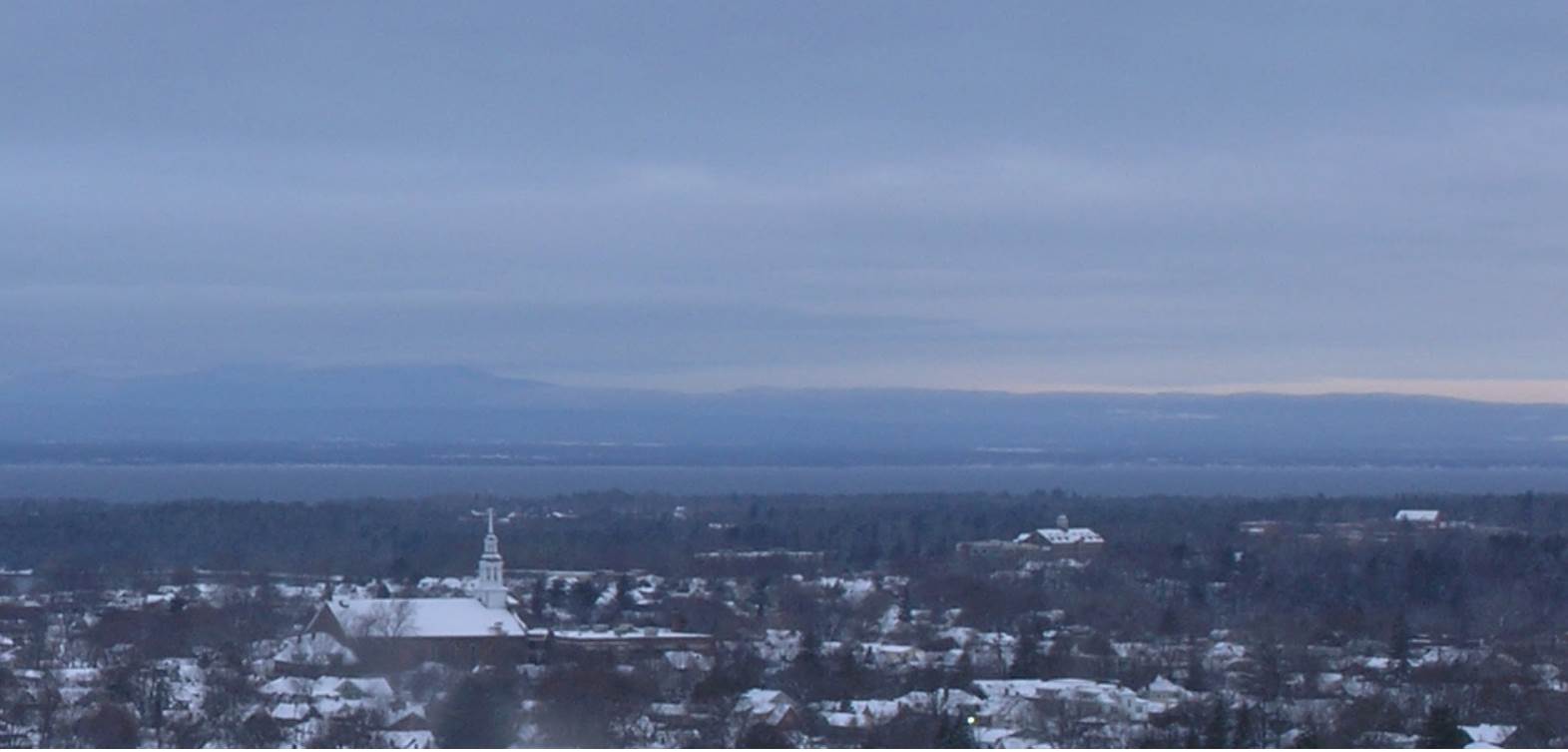
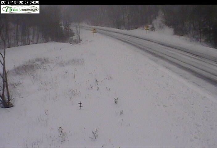
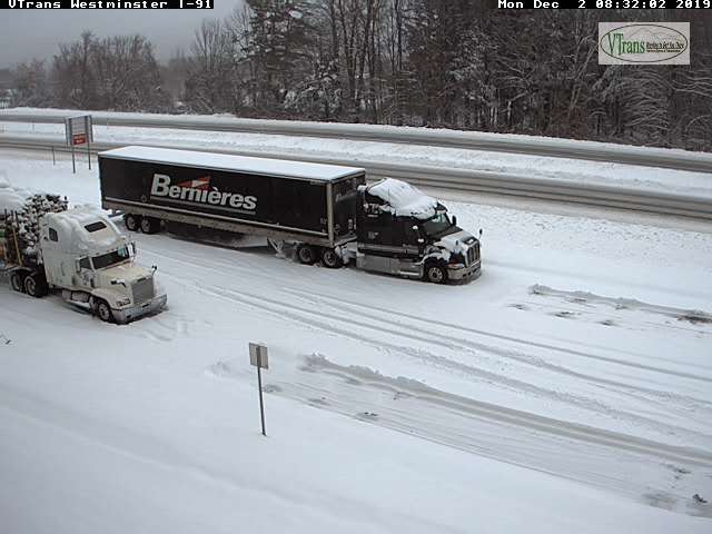
TODAY: Gray. Occasional light snow tapering off this morning northern areas…continuing south of the Barre-Montpelier area, with additional 1 to locally 3” accumulation Rutland to Windsor counties and further south. A high near 32. Light northeast winds.
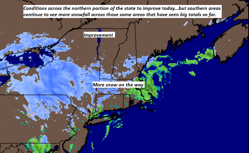
TONIGHT: Mostly cloudy. Light accumulating snow south and east of the Barre-Montpelier area exiting mid morning. A low in the upper teens. Light north winds.
TUESDAY: Chance for a few mountain flurry. Otherwise becoming partly to mostly sunny in the afternoon. A high in the mid to upper 20s. Northwest winds 10 to 15 mph.
Looking further ahead…
TUESDAY NIGHT: Mostly clear in the evening then more clouds. A low 15 to 20.
WEDNESDAY: Considerable cloudiness. Slight chance for brief snow shower or flurries. A high around 35.
THURSDAY: Mostly cloudy. Scattered mountain snow showers and valley flurries. A low in the mid 20s. A high near 32.
FRIDAY: Clouds mixed with intervals of sunshine. A rising chance for snow showers with some accumulation possible in the afternoon. A low in the teens. A high in the low to mid 30s.
Average lows in the low to mid 20s, average highs mid to upper 30s
RH/12-2-19[end]
