
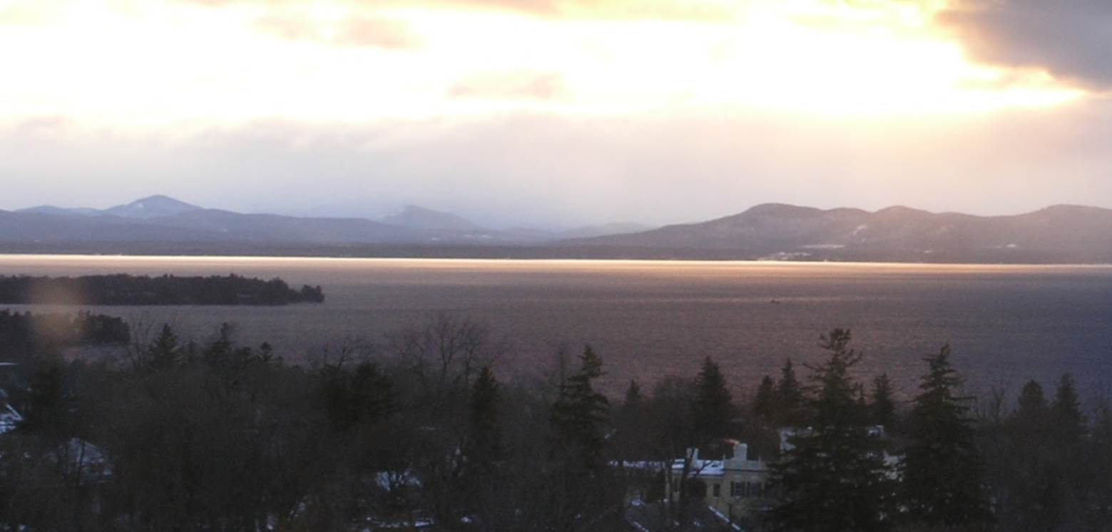
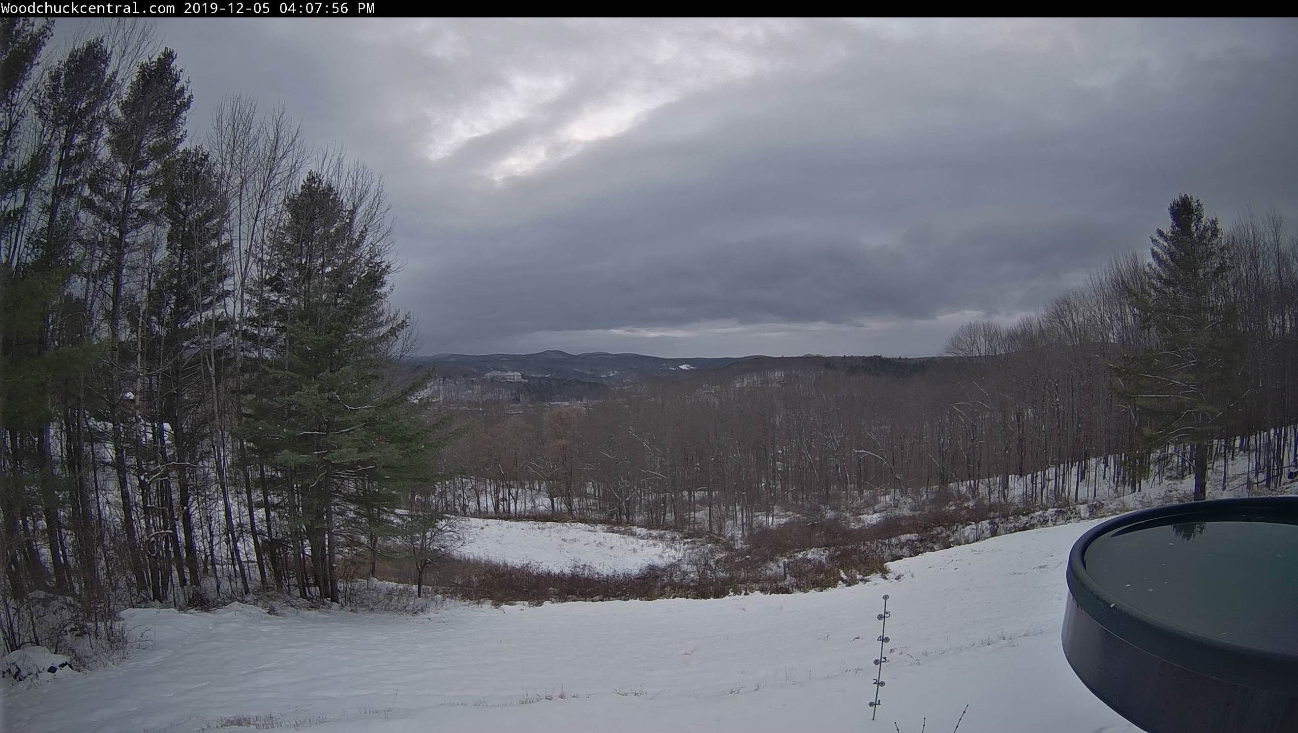
TONIGHT: Scattered mountain snow showers and valley flurries this evening…winding down overnight. Accumulation of dusting to an inch especially near the Green Mountains. Otherwise mostly cloudy. A low around 15. West to northwest winds 10 mph.
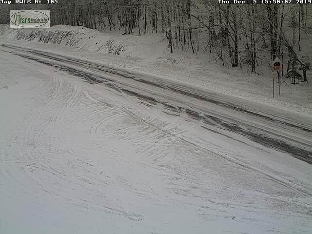
TOMORROW: Cloudy. Chance for light accumulating snow late morning on with a dusting far north to locally 3” southern areas. A high in the mid 20s. Light southwest winds.
FRIDAY NIGHT: Occasional light accumulating snow through midnight exiting as isolated flurries. A dusting to less than an inch. A low ranging through the teens. Light northwest winds
SATURDAY: Clouds with intervals of sun. A high in the low 20s. Northwest winds 10 mph.
Looking further ahead…
SATURDAY NIGHT: Mostly clear & frigid. A low zero to 10 above.
SUNDAY: Sunshine mixing with more clouds in the afternoon. A high upper 20s.
MONDAY: Gray. Chance for rain developing toward mid day. Watch for possible slick travel sub-freezing ground surfaces. Temperatures rising into the low 40s.
TUESDAY: Chance for rain showers changing to snow showers or flurries later in the day. Otherwise breaks of afternoon sun developing. A low 35 to 40. A high 40 to 45.
Average lows 20 to 25, average highs in the 30s
