
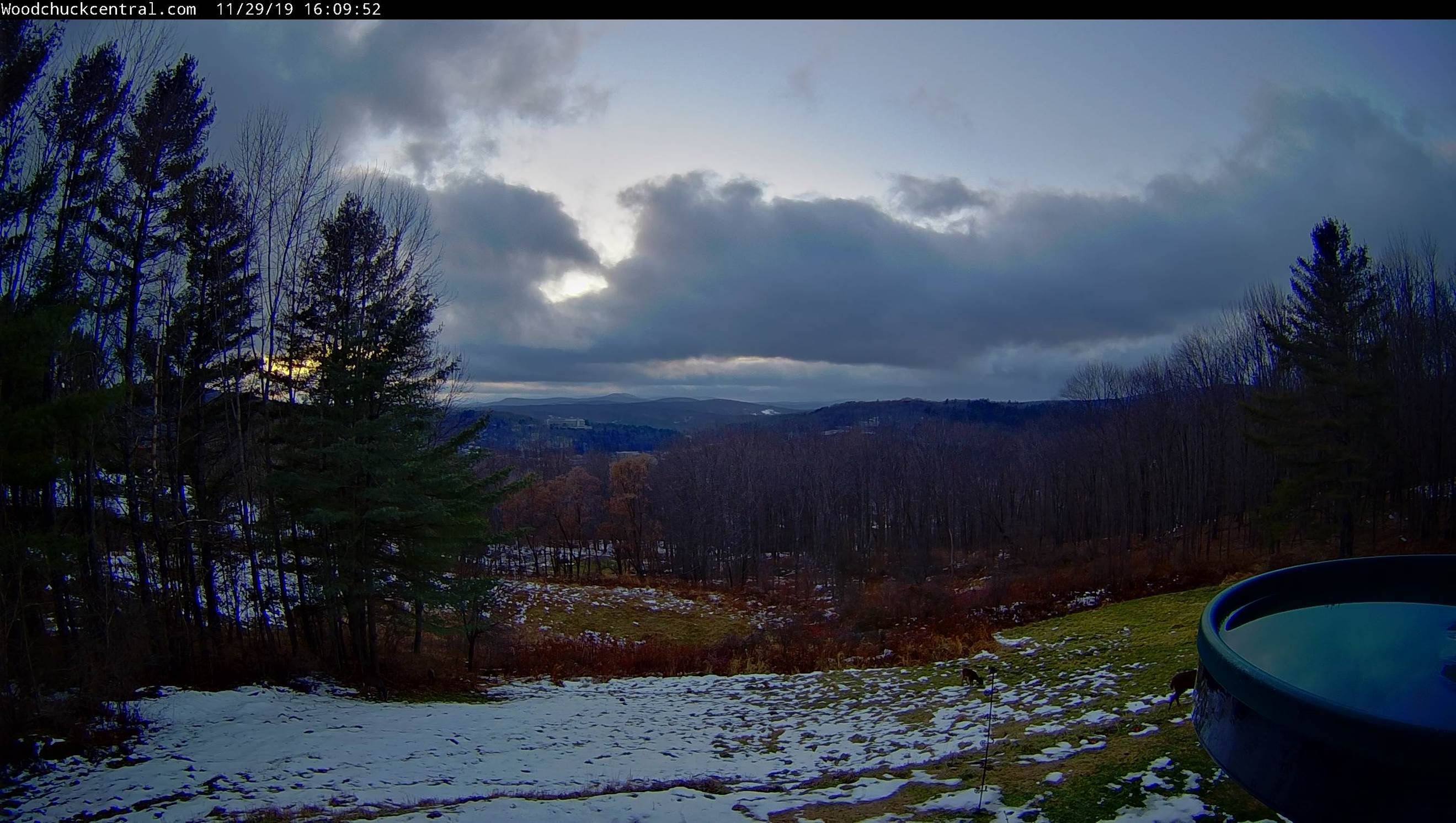
TONIGHT: Isolated mountain flurries this evening, otherwise gradual clearing. A low around 15. Northwest winds 10 mph.
TOMORROW: A few mountain clouds northern areas otherwise considerable sunshine. A high around 25. Winds northwesterly 10 to 15 mph.
SATURDAY NIGHT: Mostly clear with some high clouds.A low around 10 above. Light northwest winds.
SUNDAY: High cloudiness in the morning, thickening in the afternoon. Accumulating snow developing southern Vermont spreading north in the afternoon. A high 25 to 30. Light east winds.
Looking further ahead…
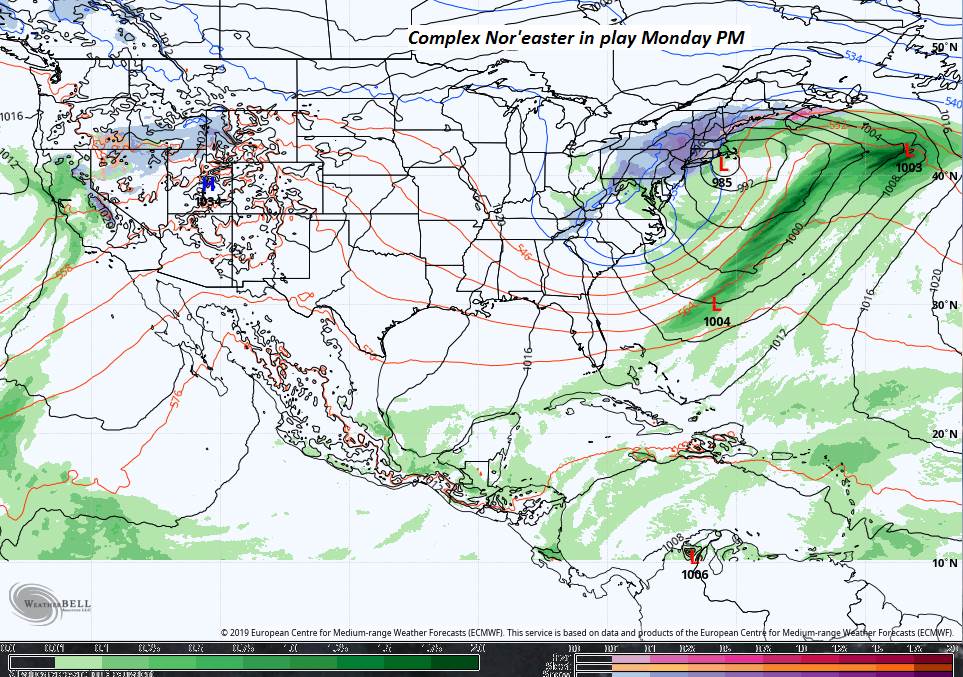
SUNDAY NIGHT: Overcast. Periods of mostly light snow central and northern areas…tapering off overnight. Significant snowfall toward southern areas. A low in the low 20s.
MONDAY: Gray. Good chance for accumulating snow especially in the afternoon. Chance for significant snowfall S. VT. A high mid to upper 20s.
TUESDAY: Chance for light accumulating snow or snow showers. Temperatures in the 20s.
WEDNESDAY: Partly sunny. A low zero to 10 above. A high in the low 30s.
Average lows in the low to mid 20s, average highs 35 to 40.
RH/11-29-19[end]
