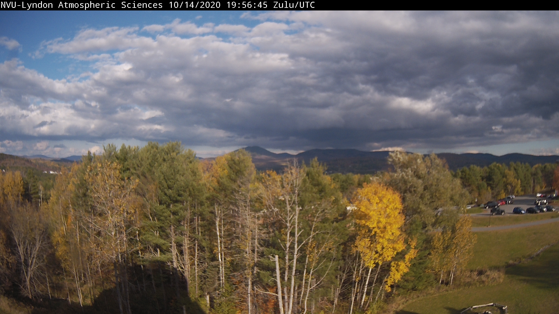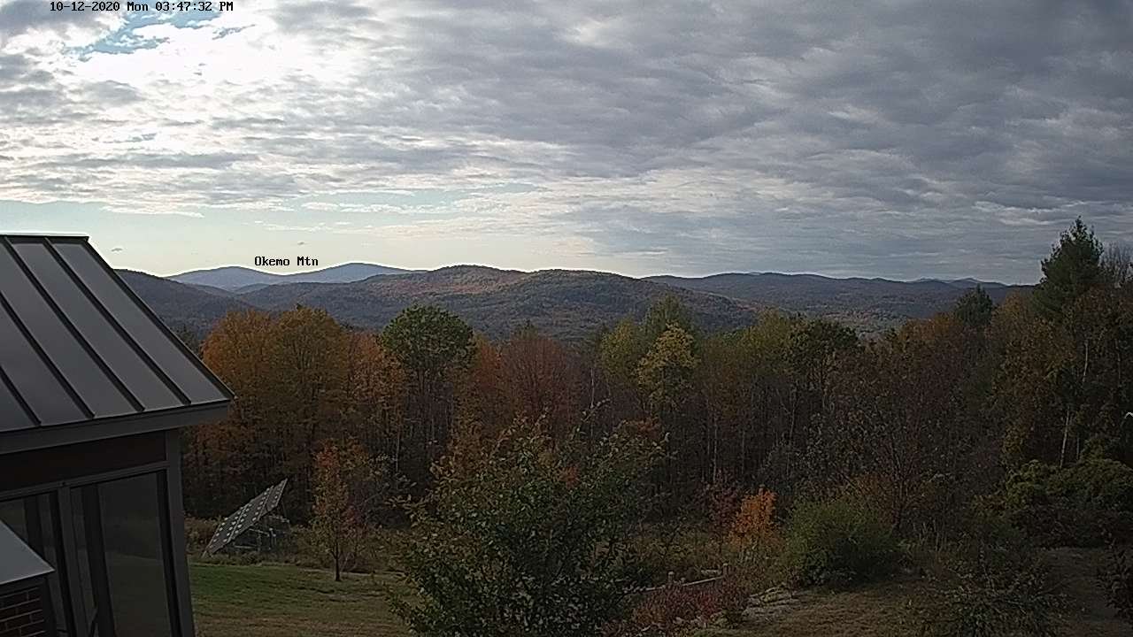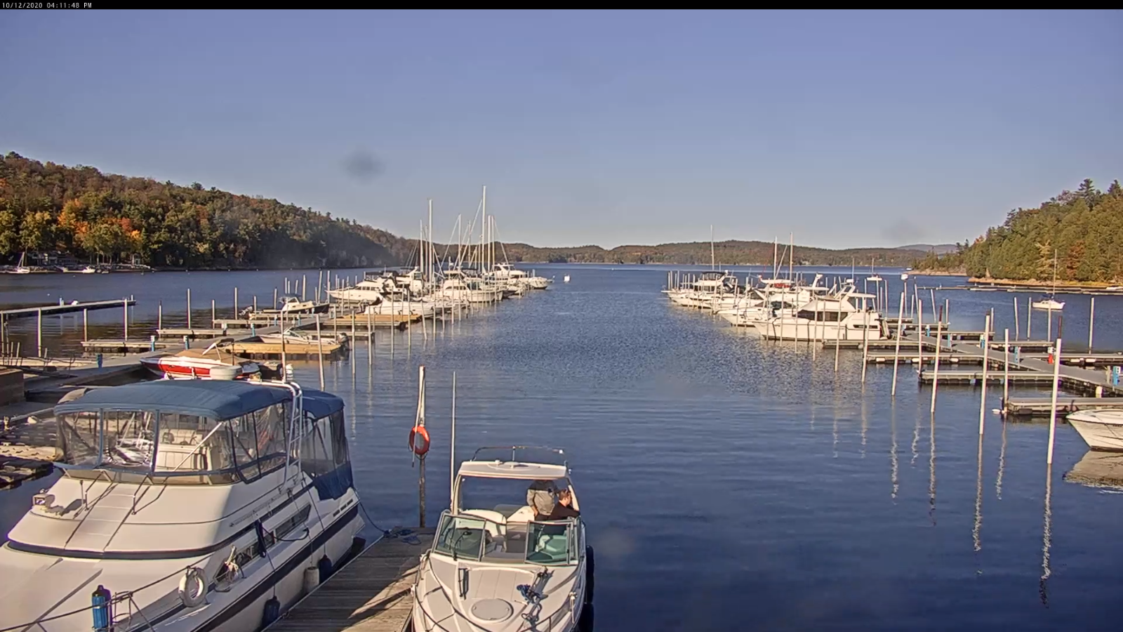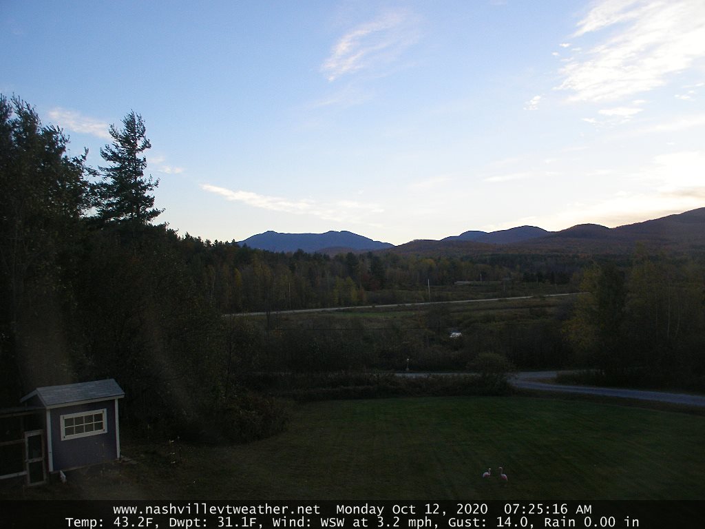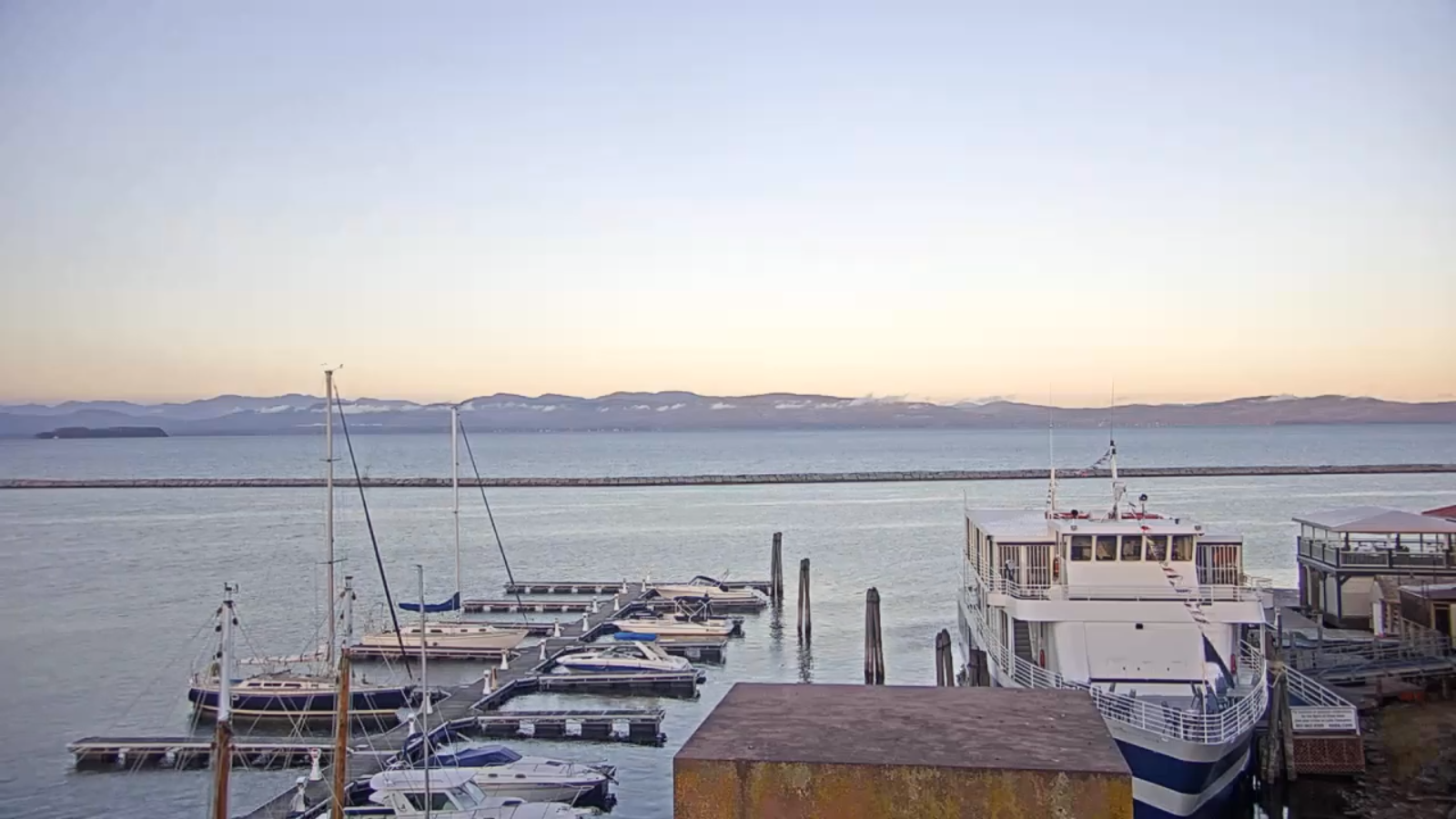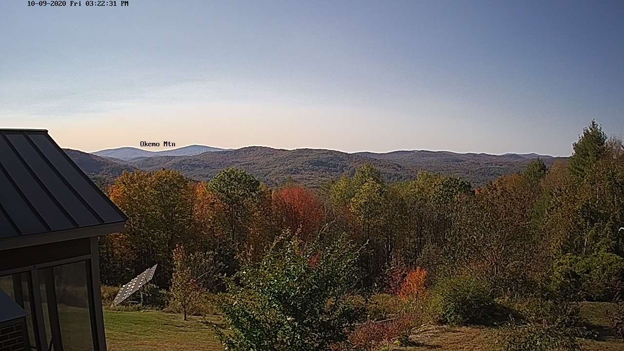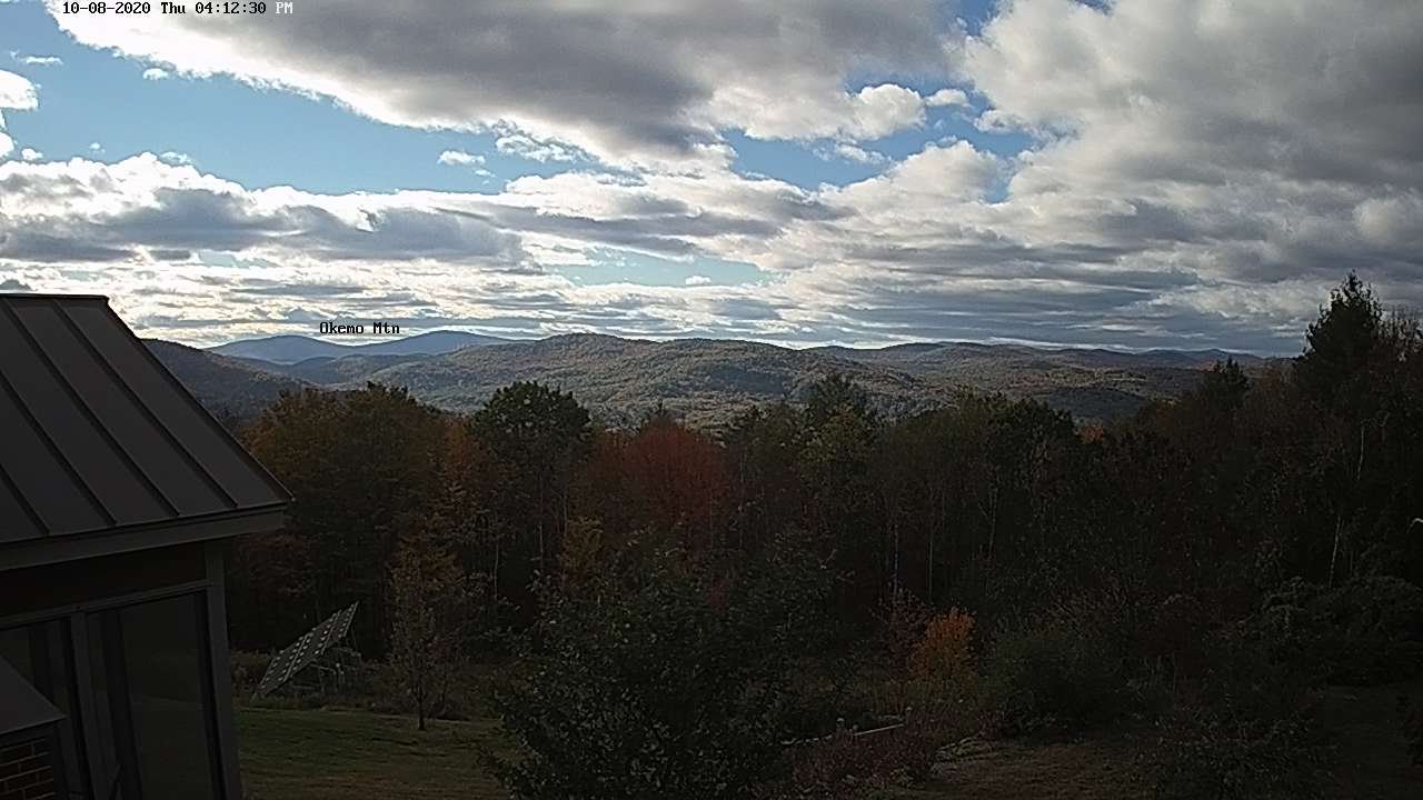
TODAY: Pick of the week. Partly to mostly sunny & mild but breezy. Increasing clouds late. A high pushing to near 70. South breeze 10 to 25 mph with a few higher gusts across western areas.
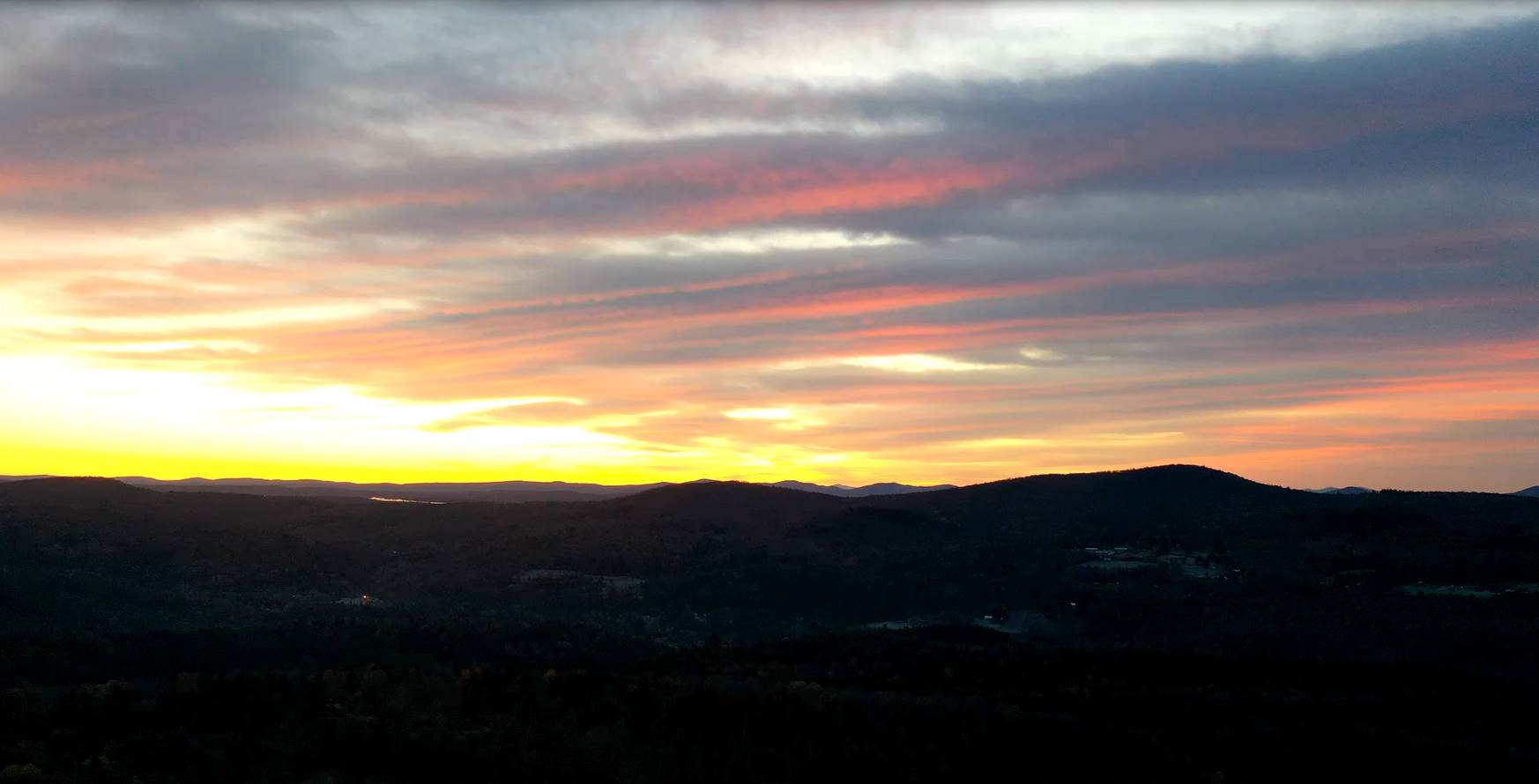
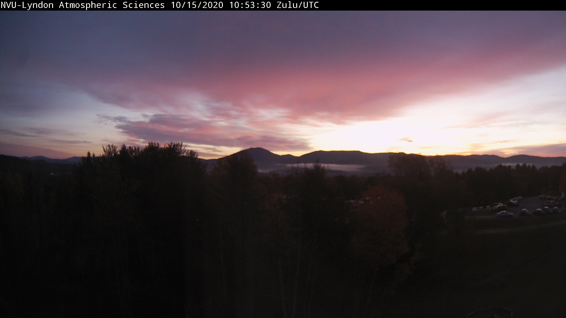
TONIGHT: Cloudy. Showers becoming likely northern and western areas spreading southeast. A low in the upper 40s. Light winds become northwesterly.
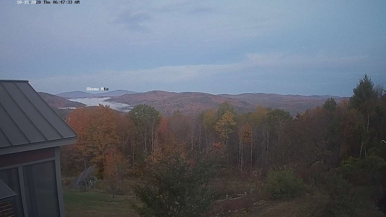
FRIDAY: Gray. Spotty light showers…picking up late. A high in the upper 50s. Light winds.
Looking further ahead…
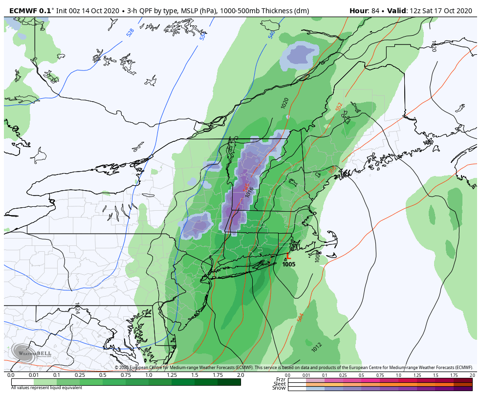
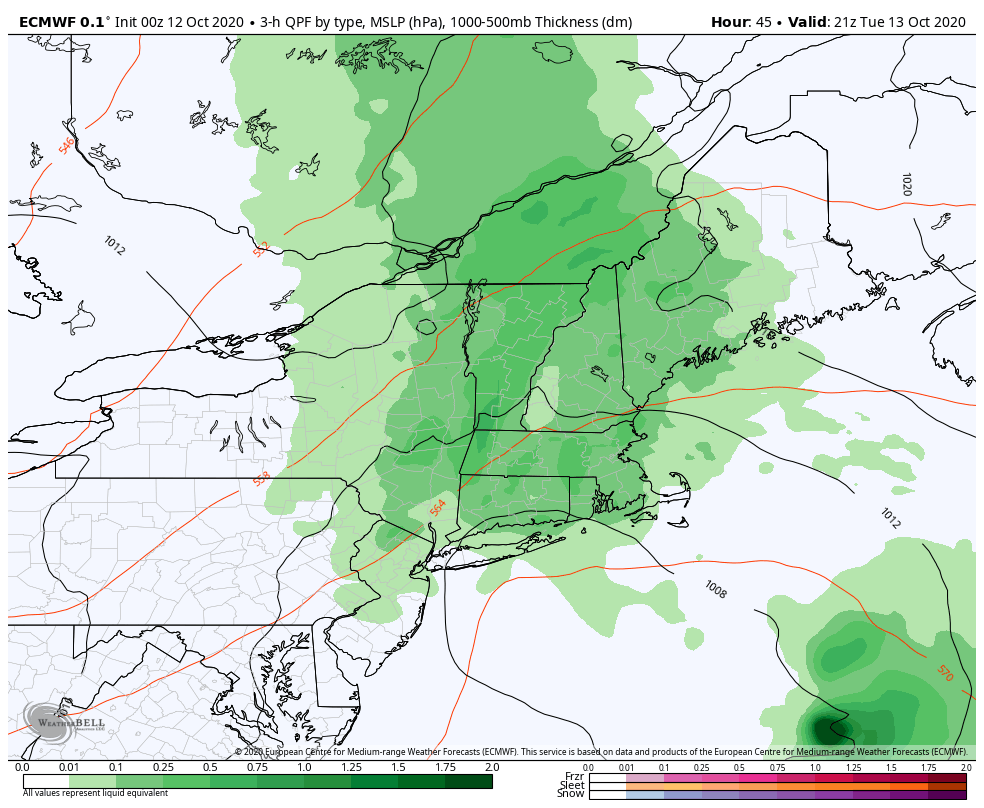
FRIDAY NIGHT: Periods of rain likely…moderate at times. Wet snow possible… upper Green Mountain slopes. A low upper 30s to near 40.
SATURDAY: Periods of morning rain with wet snow high terrain…exiting to partial afternoon clearing. A high in the upper 40s to around 50.
SUNDAY: Morning sun then increasing afternoon clouds. A low around 32. A high mid-50s.
MONDAY: Morning clouds with a chance for a shower. Partial afternoon sunshine. A low 40 to 45. A high near 55.
TUESDAY: Thickening clouds leading to a chance for showers. A low 35 to 40. A high around 65.
WEDNESDAY: Partly to mostly sunny. A low 45 to 50. A high near 70.
Average low ranging thru the 30s, Average highs in the mid-50s to upper 50s
RH/10-15 category forecast][end]