
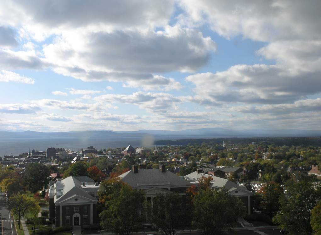
TONIGHT: Becoming mostly clear and frosty. A low upper 20s to around 32 degrees. Light northwest winds.
TOMORROW: Sunshine through the early afternoon then more clouds especially northern areas. A high near 55. West breeze 10 to 15 mph.
FRIDAY NIGHT: Becoming partly to mostly cloudy. Slight chance for a shower or thunderstorm late Quebec border. A low around 45. South winds 10 mph.
SATURDAY: Variable cloudiness. Milder and more humid. Chance for a morning shower or thunderstorm Northeast Kingdom. Scattered showers & thunderstorms redeveloping late. A high around 70. Southwest winds 10 to 15 mph.
Looking further ahead…
SATURDAY NIGHT: Partly cloudy. Chance for evening showers and possible thunderstorms. A low in the upper 30s.
SUNDAY: Patchy valley fog gives way to lots of sunshine. A high near 60.
MONDAY: Sunshine filtered sunshine with some high clouds. Maybe a touch of frost. A low in the mid-30s. A high in the mid to upper 50s
TUESDAY: Thickening clouds leading periods of rain or showers…possibly moderate at times. Maybe a thunderstorm. A low near 45. A high 55 to 60.
Average low mid-30s to low 40s, Average highs in the mid-50s to low 60s.
RH/10-8 category forecast][end]
