

TODAY: A mostly sunny chilly autumn day with more clouds arriving late. A high in the mid-50s. West breeze 10 to 15 mph.
TONIGHT: Clouding up. Slight chance for a shower or thunderstorm late Quebec border toward daybreak. A low around 45. South winds 10 mph.
SATURDAY: Variable cloudiness. Warmer and more humid. Chance for a morning shower or thunderstorm Quebec border. Showers and thunderstorms… developing late. A high in the low 70s. Southwest winds 10 to 15 mph.
Looking further ahead…
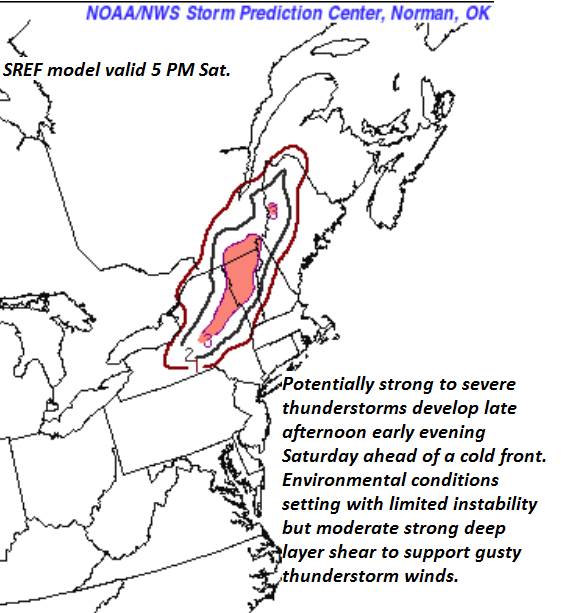
SATURDAY NIGHT: A round of early to mid-evening showers and thunderstorms…one or two strong to locally severe with gusty winds and small hail. A low near 40.
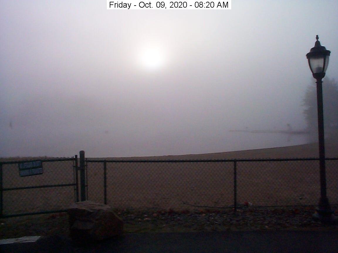
SUNDAY: Morning fog, then partly to mostly sunny. A high in the low 60s.
MONDAY: Filtered morning sun then clouding up leading to a chance for rain showers southern areas. A low in the mid-30s with a touch of frost. A high in the 50s.
TUESDAY: Cloudy with periods of showers…possibly moderate at times with a rumble of thunder. A low near 45. A high near 60.
WEDNESDAY: Mixed sun and clouds. A low around 35. A high around 60.
Average low mid-30s to low 40s, Average highs in the mid-50s to low 60s.

RH/10-9 category forecast][end]
