Updated Monday Evening Forecast — June 14th, 2021

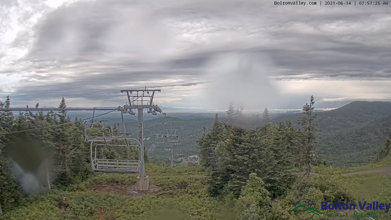
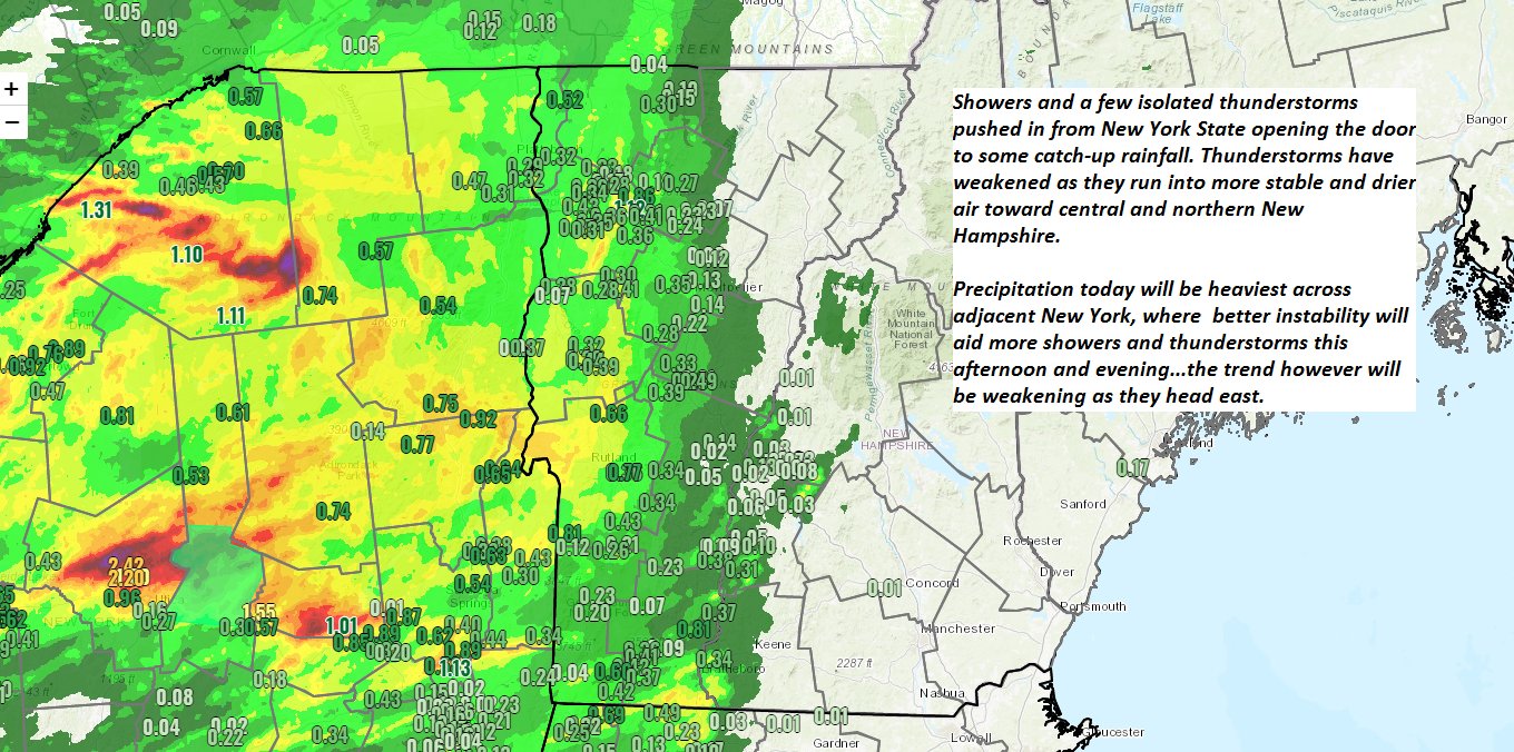
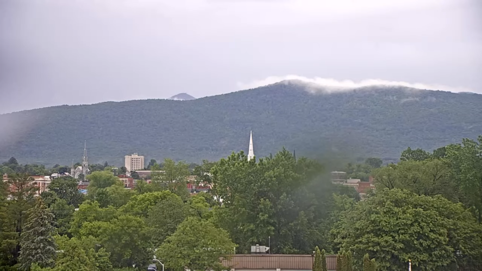
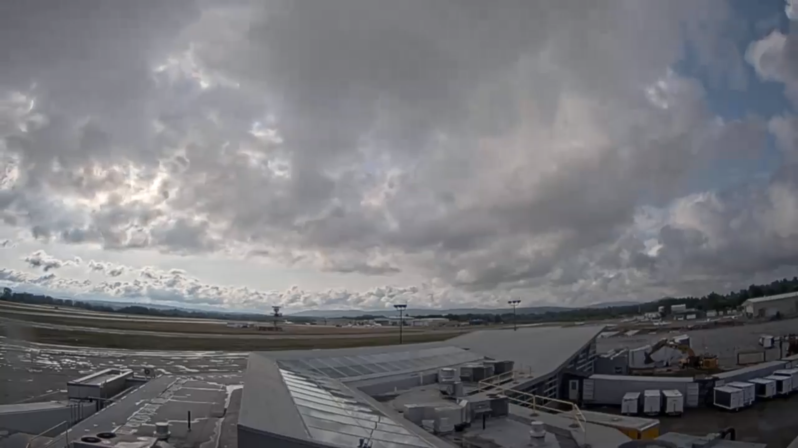
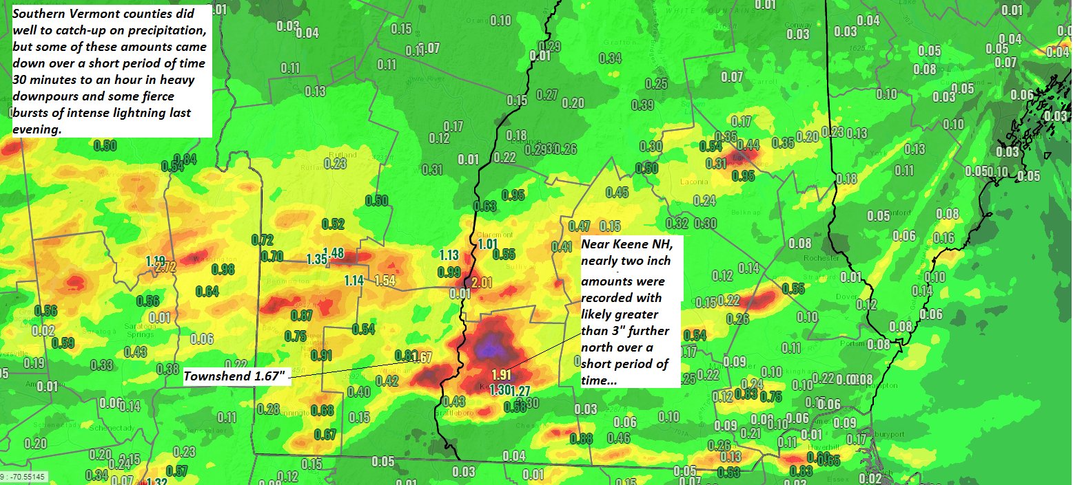
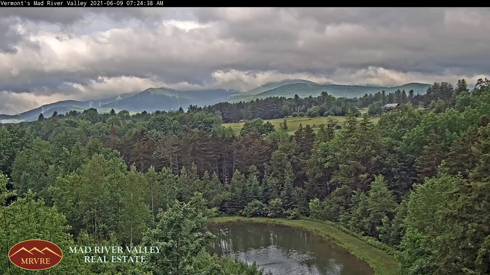
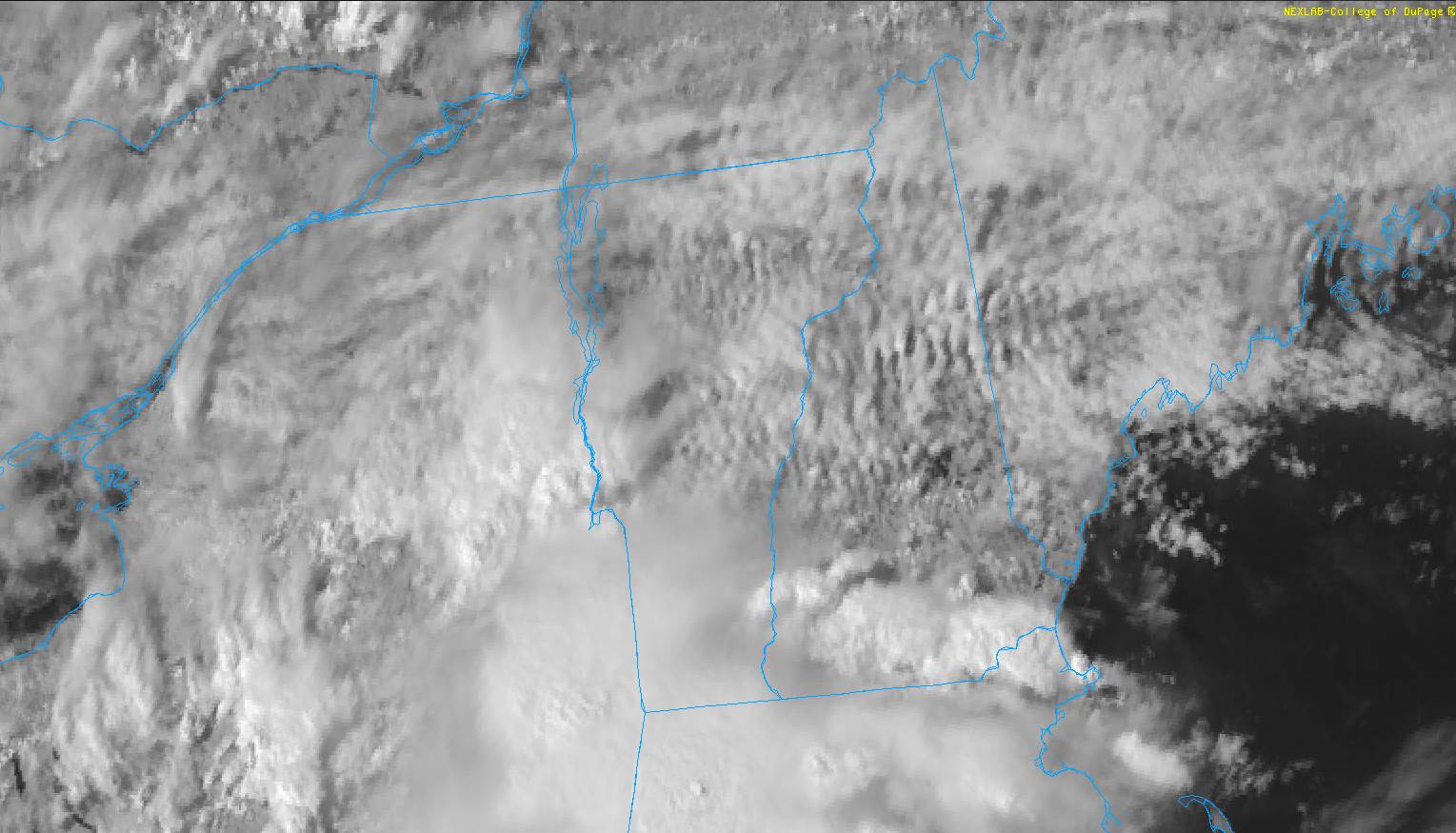
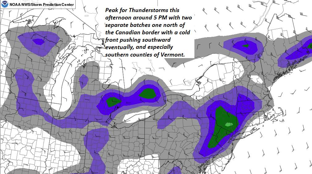
TONIGHT: Scattered evening showers & a few thunderstorms possible, especially western areas, some locally heavy. Otherwise, considerable cloudiness and cool. A low in the mid to upper 50s. Light south winds.

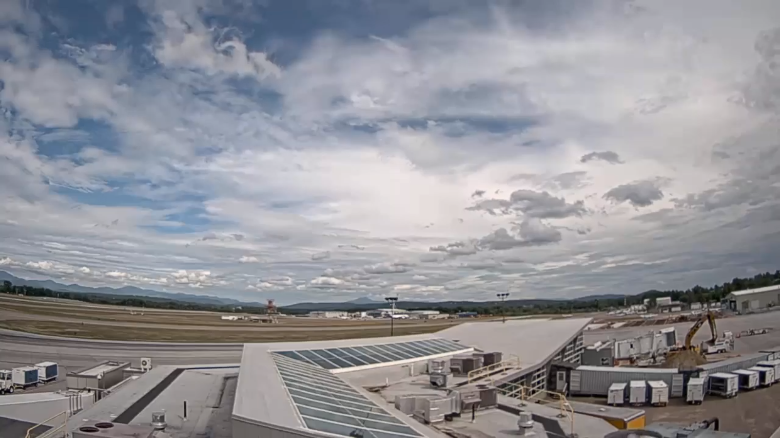
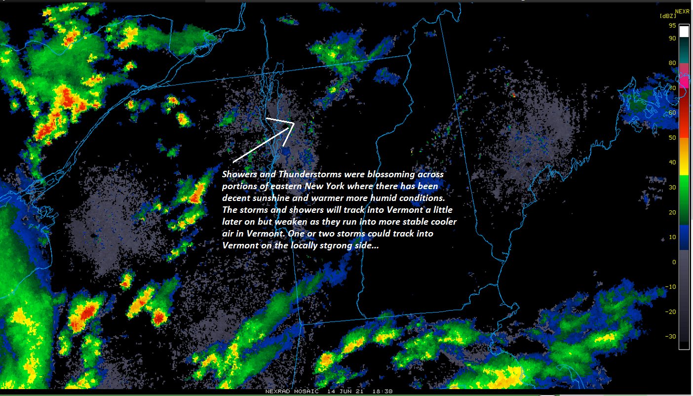
TOMORROW: Clouds mixed with intervals of sunshine. A round of showers and thunderstorms in the afternoon, one or two possibly strong and locally heavy especially northern/western areas. A high in the lower 70s. Southwest 10 mph winds shifting to northwesterly late.

TUESDAY NIGHT: Chance for showers, and a few thunderstorms winding down mid evening. Otherwise, gradually clearing. A low in the upper 40s to near 50. Light northwest winds.

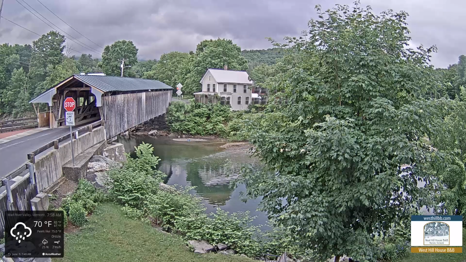
WEDNESDAY: Morning sunshine with afternoon clouds especially northern areas. Remaining rather cool. Start of warming trend. A high mid-60s. Northwest winds 10 to 15 mph.

Looking further ahead…

WEDNESDAY NIGHT: Mostly clear & cool, with patchy valley fog. A low mid to upper 40s.

THURSDAY: Morning sunshine with more afternoon clouds. A high around 70.

FRIDAY: Morning sunshine gives way to cloudy periods. Turning warmer. A low 45 to 50. A high pushing near 80.

SATURDAY: Considerable cloudiness. Scattered showers with a chance for late afternoon thunder. A low near 60. A high near 80.

Average low in the low to mid 50s. Average highs in the mid-70s.

Start of Meteorological Summer June in progress peaks approx. July 22nd based off local climatology.

RH/6-14forecast][end]

Updated Monday Morning Forecast — June 14th, 2021

TODAY: Generally gray, cool and unsettled. Numerous showers and a few isolated thunderstorms this morning, and again this afternoon. A few storms with locally heavy downpours. A high upper 60s to near 70. South to southeast winds 10 to 15 mph.

TONIGHT: Evening showers and with a few thunderstorms especially western areas, some locally heavy. Otherwise, considerable cloudiness and cool. A low near 55. Light south to southwest winds.

TUESDAY: Clouds mixed with intervals of sunshine. A round of showers and thunderstorms in the afternoon, one or two possibly strong and locally heavy. A high in the low 70s. Southwest winds shifting to northwesterly 10 mph.

Looking further ahead…

TUESDAY NIGHT: Chance for lingering evening showers, and a few thunderstorms winding down before midnight. A low in the upper 40s to near 50

WEDNESDAY: Morning sunshine with afternoon clouds. Remaining rather cool. Start of warming trend. A high mid to upper 60s.

THURSDAY: Morning sunshine with more afternoon clouds. A low around 45. A high around 70.

FRIDAY: Morning sunshine gives way to high cloudiness. Turning warmer. A low 45 to 50. A high mid-70s to near 80.

Average low in the low to mid 50s. Average highs in the mid-70s.

Start of Meteorological Summer June in progress peaks approx. July 22nd based off local climatology.

RH/6-14forecast][end]

Updated Friday Evening Forecast — June 11th, 2021

TONIGHT: partly cloudy northern areas. Lingering cloudiness with scattered light showers south of the Barre-Montpelier area. A low 50 to 55. Light southeast winds.

TOMORROW: Partly sunny northern areas with lingering mid and high clouds southern areas. A high about 75. Light winds becoming northwesterly in the afternoon.

SATURDAY NIGHT: Cloudy periods in the evening then partly cloudy overnight. A low 50 to 55. Light winds.

SUNDAY: Clouds mixed periods of sunshine. A high upper 70s to around 80. Light southwest winds.

Looking further ahead…

SUNDAY NIGHT: Cloudy. A rising chance for showers & possible thunderstorms overnight and turning a bit muggier by morning. A low upper 50s to around 60.

MONDAY: Mostly cloudy. Scattered showers and a few afternoon thunderstorms. A high 70 to 75.

TUESDAY: Clouds with a few sunny breaks. Chance for showers & possible afternoon thunderstorms. A low in the mid-50s. A high in the low 70s.

WEDNESDAY: Slight chance for leftover shower northern areas, otherwise partly to mostly sunny. A low in the mid-40s. A high around 65.

Average low in the low to mid 50s. Average highs low to mid-70s.

Start of Meteorological Summer June in progress peaks approx. July 22nd based off local climatology.

RH/6-10forecast][end]

Updated Friday Morning Forecast — June 11th, 2021

TODAY: Considerable cloudiness & cool with a few passing sprinkles southern areas. A high 65 to 70. Light southeast winds.

TONIGHT: Lingering cloudiness. Scattered light showers or sprinkles mainly central and southern areas. A low in the mid-50s.Light southeast winds.

SATURDAY: Partly sunny northern areas with lingering mid and high clouds southern areas. A high about 75. Light southeast winds.

Looking further ahead…

SATURDAY NIGHT: Cloudy periods in the evening then partly cloudy overnight. A low 50 to 55.

SUNDAY: Clouds mixed periods of sunshine. A high 75 to 80.

MONDAY: Mostly cloudy. Scattered showers and a few afternoon thunderstorms. A low 55 to 60. A high 70 to 75.

TUESDAY: Clouds with a few sunny breaks. Chance for showers & possible afternoon thunderstorms. A low 50 to 55. A high in the low 70s.

WEDNESDAY: Slight chance for leftover shower northern areas, otherwise partly to mostly sunny. A low 40 to 45. A high around 65.

Average low in the low to mid 50s. Average highs low to mid-70s.

Start of Meteorological Summer June in progress peaks approx. July 22nd based off local climatology.

RH/6-10forecast][end]

Updated Thursday Evening Forecast — June 10th, 2021

TONIGHT: Mostly clear early, then thickening clouds. A low in the lower 50s. Light southeast winds

TOMORROW: Considerable cloudiness & cool. A late day shower or sprinkle possible. A high in the upper 60s. Light southeast winds.

FRIDAY NIGHT: Lingering cloudiness. Scattered light showers or sprinkles mainly central and southern areas. A low near 50.Light southeast winds.

SATURDAY: Mostly sunny northern areas with linger mid and high clouds southern areas. A high mid to upper 70s. Light southeast winds.

Looking further ahead…

SATURDAY NIGHT: Partly cloudy. A low around 55.

SUNDAY: Clouds with a few sunny periods across the north & a bit muggier. Warmer in the afternoon. A high around 80. Chance for showers and thunderstorms Sunday night.

MONDAY: Partly to mostly cloudy. Scattered showers and afternoon thunderstorms. A low around 55. A high in the low 70s.

TUESDAY: Mixed clouds and sun. Chance for few leftover showers. A low 50 to 55. A high about 70.

Average low in the low to mid 50s. Average highs low to mid-70s.

Start of Meteorological Summer June in progress peaks approx. July 22nd based off local climatology.

RH/6-10forecast][end]

Updated Thursday Morning Forecast — June 10th, 2021

TODAY: Pick of the week. Sunshine filtered thru high clouds. Near seasonal in temperature. A high in the 70 to 75. Light north winds.

TONIGHT: Patchy high clouds. Patchy valley fog. A low 50 to 55. Light northeast winds

FRIDAY: Considerable cloudiness & cool. Isolated evening sprinkles. Temperatures peaking near 70. Light southeast winds.

Looking further ahead…

FRIDAY NIGHT: Lingering clouds with a brief early evening sprinkle possible. A low in the low 50s.

SATURDAY: Partly to mostly sunny northern Vermont, linger high clouds south. A high mid to upper 70s.

SUNDAY: Mainly cloudy & a bit muggier. Rising chance for showers and a few thunderstorms. Some possibly locally heavy. A low around 55. Warmer in the afternoon. A high upper 70s to about 80.

MONDAY: Partly to mostly cloudy. Widely scattered showers and afternoon thunderstorms. A low 55 to 60. A high 70 to 75.

TUESDAY: Mostly cloudy. Chance for showers. A low 55. A high 70.

Average low in the low to mid 50s. Average highs low to mid-70s.

Start of Meteorological Summer June in progress peaks approx. July 22nd based off local climatology.

RH/6-10forecast][end]

Updated Wednesday Night Forecast — June 9th, 2021

TONIGHT: Clear and comfortably cool. A low 50 to 55. Light north winds.

TOMORROW: Pick of the week. Sunshine mixing with high cloudiness and lowered humidity. A high in the 70 to 75. Light north winds.

THURSDAY NIGHT: Patchy high clouds. Patchy valley fog. A low 50 to 55. Light northeast winds

FRIDAY: Clouds with a few breaks of sun. Cool. A high in the upper 60s near 70. Light southeast winds.

Looking further ahead…

FRIDAY NIGHT: Mostly clear a few high southern areas. Isolated valley fog. A low upper 40s to lower 50s.

SATURDAY: Partly to mostly sunny and gorgeous. A high near 75.

SUNDAY: Clouding up & increasingly muggier. Rising chance for showers and a few thunderstorms some possibly strong and heavy. A low around 55. Warmer. A high mid to upper 70s.

MONDAY: Partly to mostly cloudy. Widely scattered showers and afternoon thunderstorms. A low around 55. A high 70 to 75.

Average low 50 to 55. Average highs low to mid-70s.

Start of Meteorological Summer June in progress peaks approx. July 22nd based off local climatology.

RH/6-9forecast][end]

Updated Wednesday Morning Forecast — June 9th, 2021

TODAY: Morning clouds, a few showers and isolated thunderstorm central areas this morning gives way to periods of sunshine from north to south. Turning less humid later this morning northern areas, and central and southern areas this afternoon.A high 80 to 85. Northwest winds 10 mph in the afternoon.

TONIGHT: Clear and delightfully more comfortable, high cloudiness developing overnight. Isolated valley fog. A low 50 to 55. Light north winds.

THURSDAY: Pick of the week. Sunshine mixing with high cloudiness and lowered humidity. A high in the lower 70s. Light north winds.

Looking further ahead…

THURSDAY NIGHT: Patchy high clouds. Patchy valley fog. A low 50 to 55.

FRIDAY: Clouds with a few breaks of sun. Cool. A high in the upper 60s.

SATURDAY: A few morning clouds, then partly to mostly sunny. A low 50 to 55. A high around 75.

SUNDAY: Filtered morning sunshine thru high clouds. Cloudy in the afternoon. A rising chance for showers, possible thunderstorms. A low in the low 50s. Warmer. A high 75 to 80.

MONDAY: Partly to mostly cloudy. Scattered showers and possible afternoon thunderstorms. A low 55 to 60. A high around 75.

Average low 50 to 55. Average highs low to mid-70s.

Start of Meteorological Summer June in progress peaks approx. July 22nd based off local climatology.

RH/6-9forecast][end]

Updated Tuesday Night Forecast — June 8th, 2021

TONIGHT: Mostly cloudy. Warm and sticky. Scattered mainly evening showers and isolated thunderstorms…southern areas. A rising chance for showers near the Canadian border overnight. A low around 65. Light southwest winds shifting to northwest late.

TOMORROW: Decent sunshine after morning clouds with a sprinkle. Gradually less humid in the afternoon, isolated showers, a rumble of thunder possible southern Vermont. A high 80 to 85. Northwest winds 10 mph in the afternoon.

WEDNESDAY NIGHT: High cloudiness. Cooler and refreshingly less humid. Isolated valley fog. A low around 55. Light north winds.

THURSDAY: A fair amount of sunshine with high clouds. A high around 75. Light north winds.

Looking further ahead…

THURSDAY NIGHT: Patchy high clouds. Patchy valley fog. A low 50 to 55.

FRIDAY: Considerable clouds. Chance for a mountain shower. Cool. A high in the upper 60s.

SATURDAY: A few morning clouds with a few brief showers, then partly to mostly sunny. A low 50 to 55. A high around 75.

SUNDAY: Partly sunny with more clouds later on. A low in the low 50s. Warmer. A high 75 to 80.

MONDAY: Mostly cloudy. Scattered showers and afternoon thunderstorms. A low 55 to 60. A high around 70.

Average low 50 to 55. Average highs low to mid-70s.

Start of Meteorological Summer June in progress peaks approx. July 22nd based off local climatology.

RH/6-8forecast][end]

Updated Tuesday Morn8ihng Forecast — June 8th, 2021

TODAY: Lots of clouds, hazy, warm and humid. Widely scattered morning showers especially western areas…with isolated thunderstorms western & southern Vermont. A high in the low to mid 80s. West breeze 10 mph.

TONIGHT: Mostly cloudy. Warm and sticky. Scattered mainly evening showers and isolated thunderstorms…southern areas. A rising chance for showers near the Canadian border overnight. A low around 65. Light southwest winds shifting to northwest late.

WEDNESDAY: Lots of sunshine & still muggy. Isolated showers with a rumble of thunder possible southern Vermont. A high low to mid 80s. Northwest winds 10 mph.

Looking further ahead…

WEDNESDAY NIGHT: High cloudiness. Less humid. A low in the mid-50s.

THURSDAY: Mixed sun and mainly high clouds. A high around 75.

FRIDAY: Considerable clouds. Chance for showers and possibly a thunderstorm. A low around 55. Cool. A high upper 60s to near 70.

SATURDAY: Mostly cloudy, with a lingering mountain sprinkle. A low 50 to 55. A high 70 to 75.

SUNDAY: Partly to mostly cloudy. Isolated showers. A low in the mid-50s. A high 70 to 75.

Average low 50 to 55. Average highs low to mid-70s.

Start of Meteorological Summer June in progress peaks approx. July 22nd based off local climatology.

RH/6-9forecast][end]