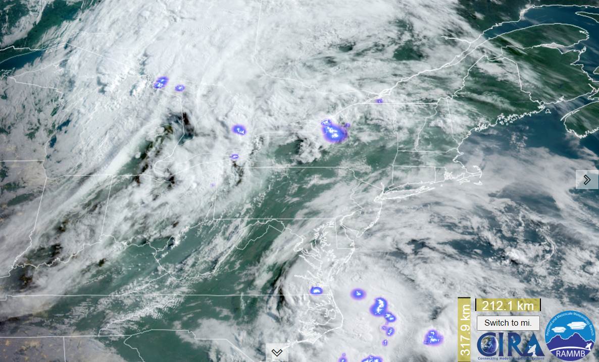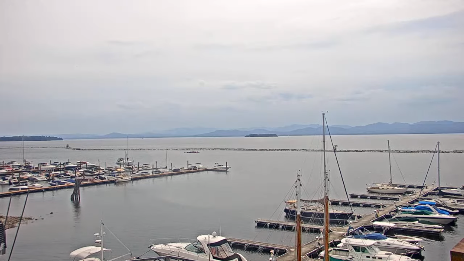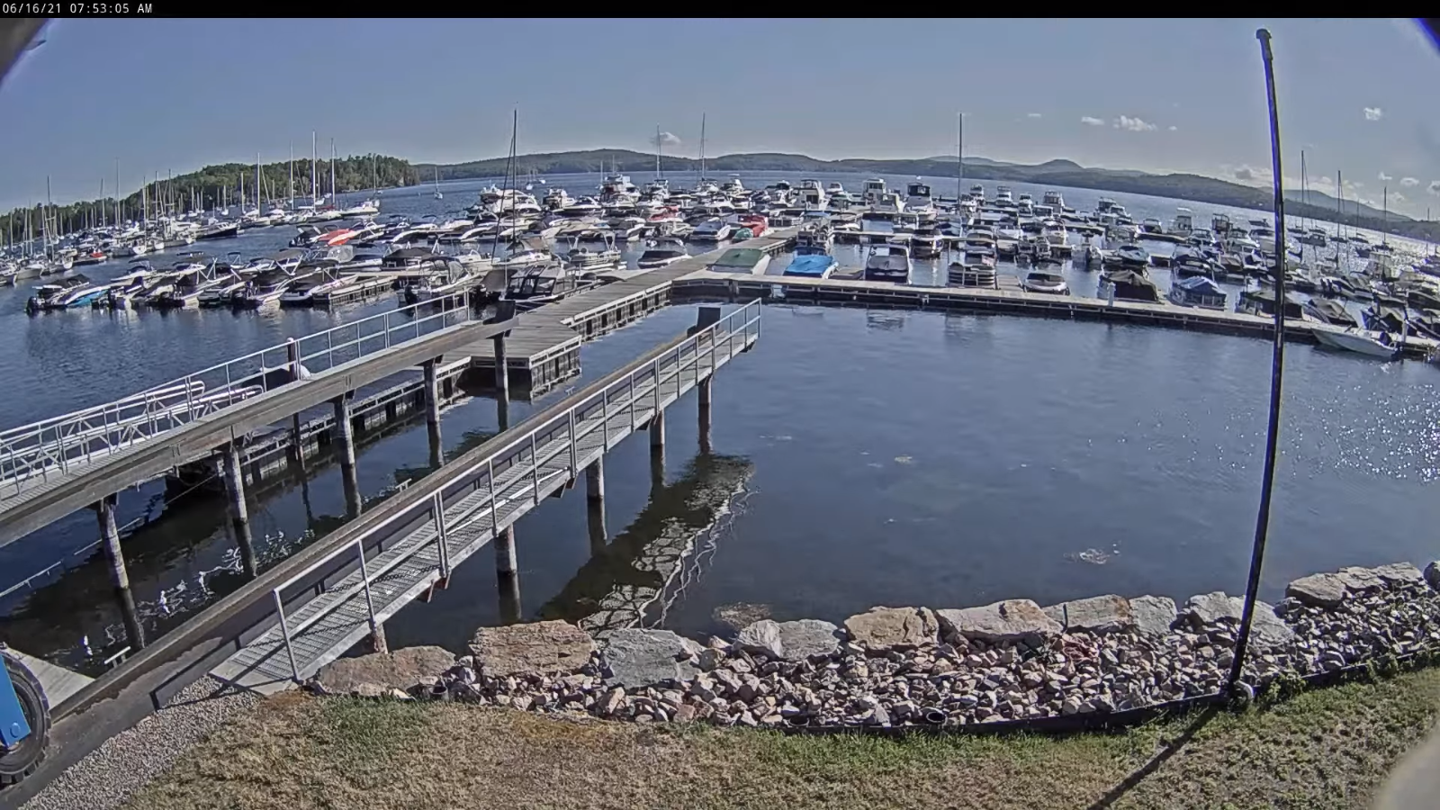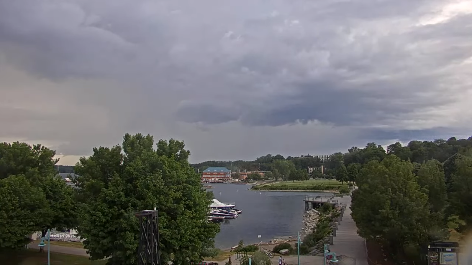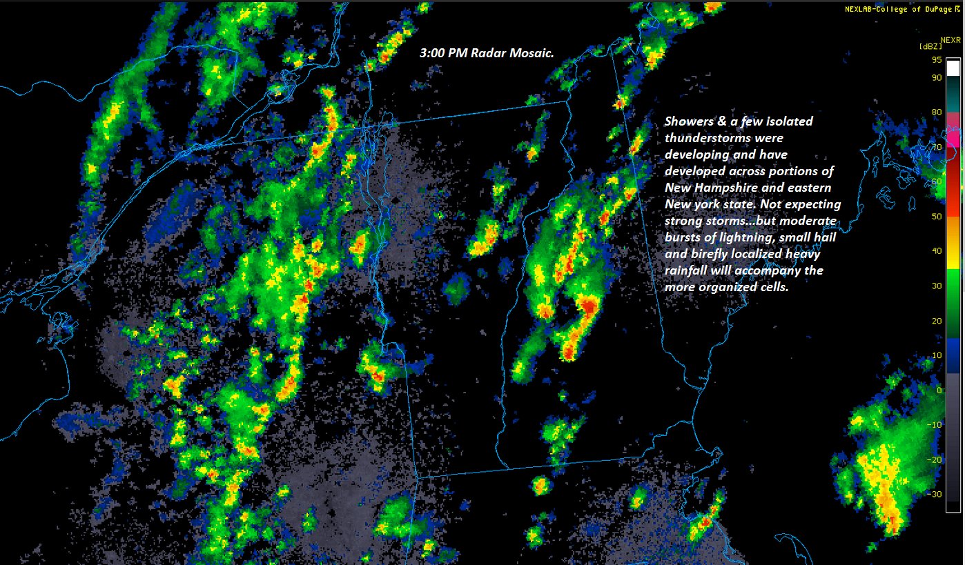
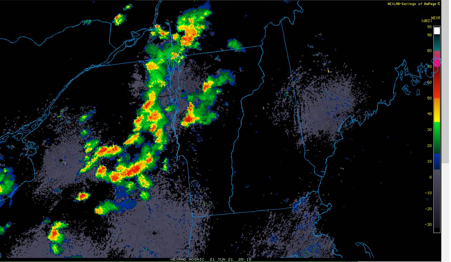
Severe Thunderstorm Watch thru 9 PM…
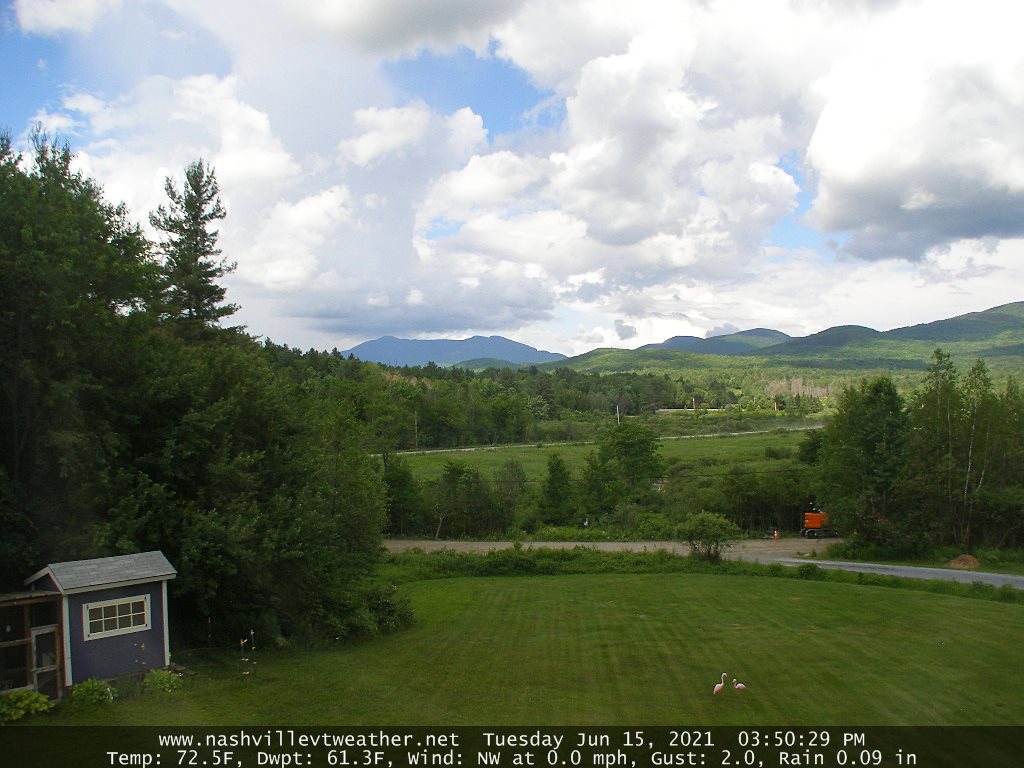
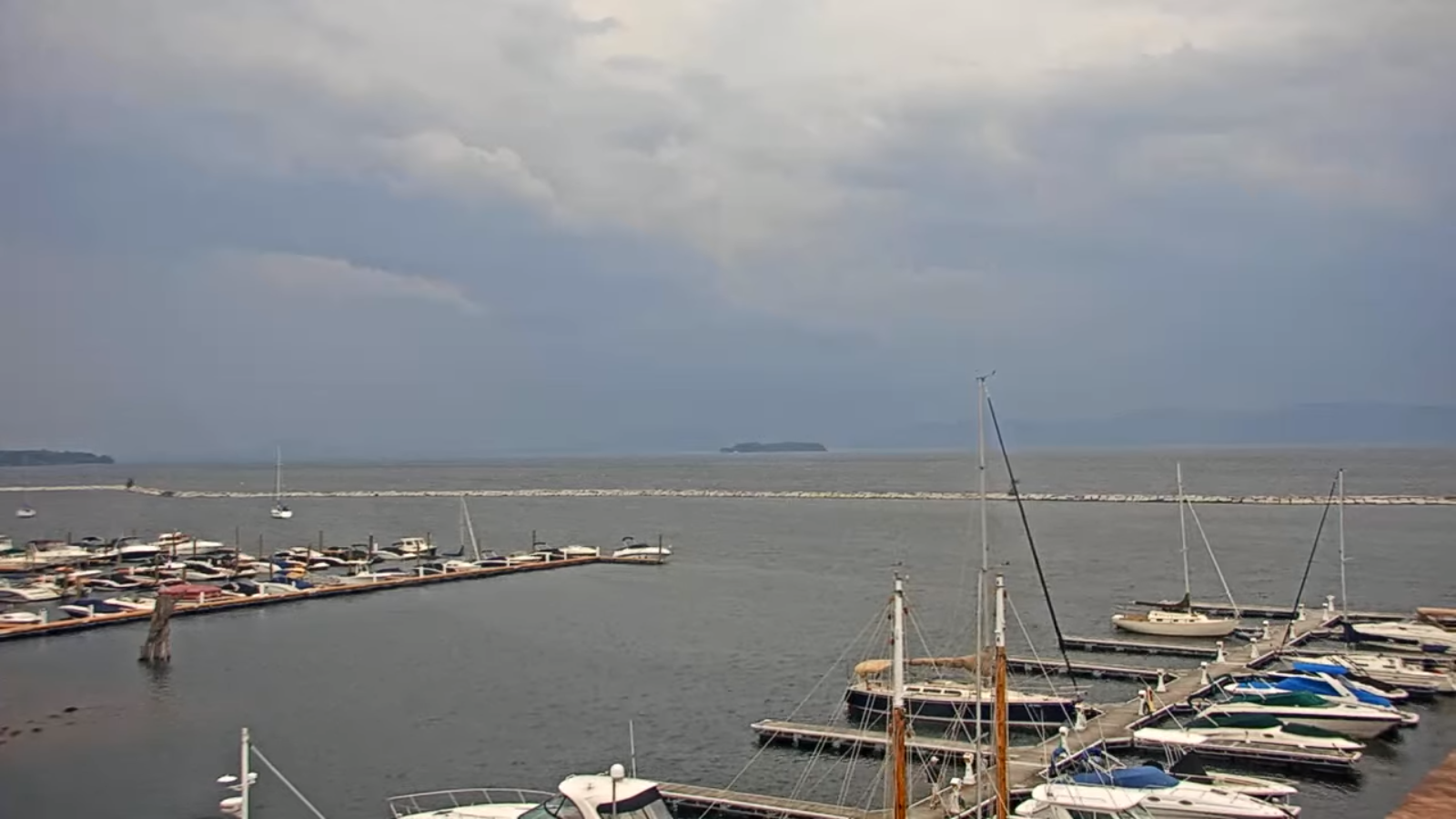
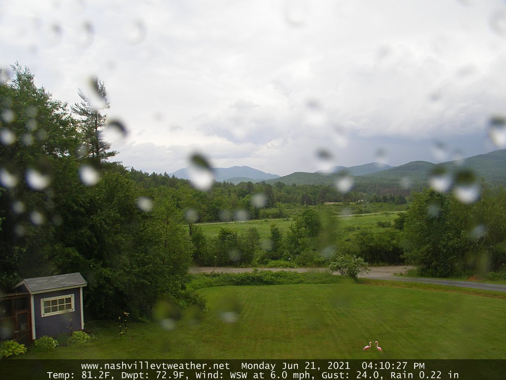
TONIGHT: Cloudy periods. Evening showers and thunderstorms, some strong to locally severe, winding down and becoming isolated overnight. Still humid most of the night. A low in the low 60s. South to southwest breeze 10 mph shifting to northwesterly late.
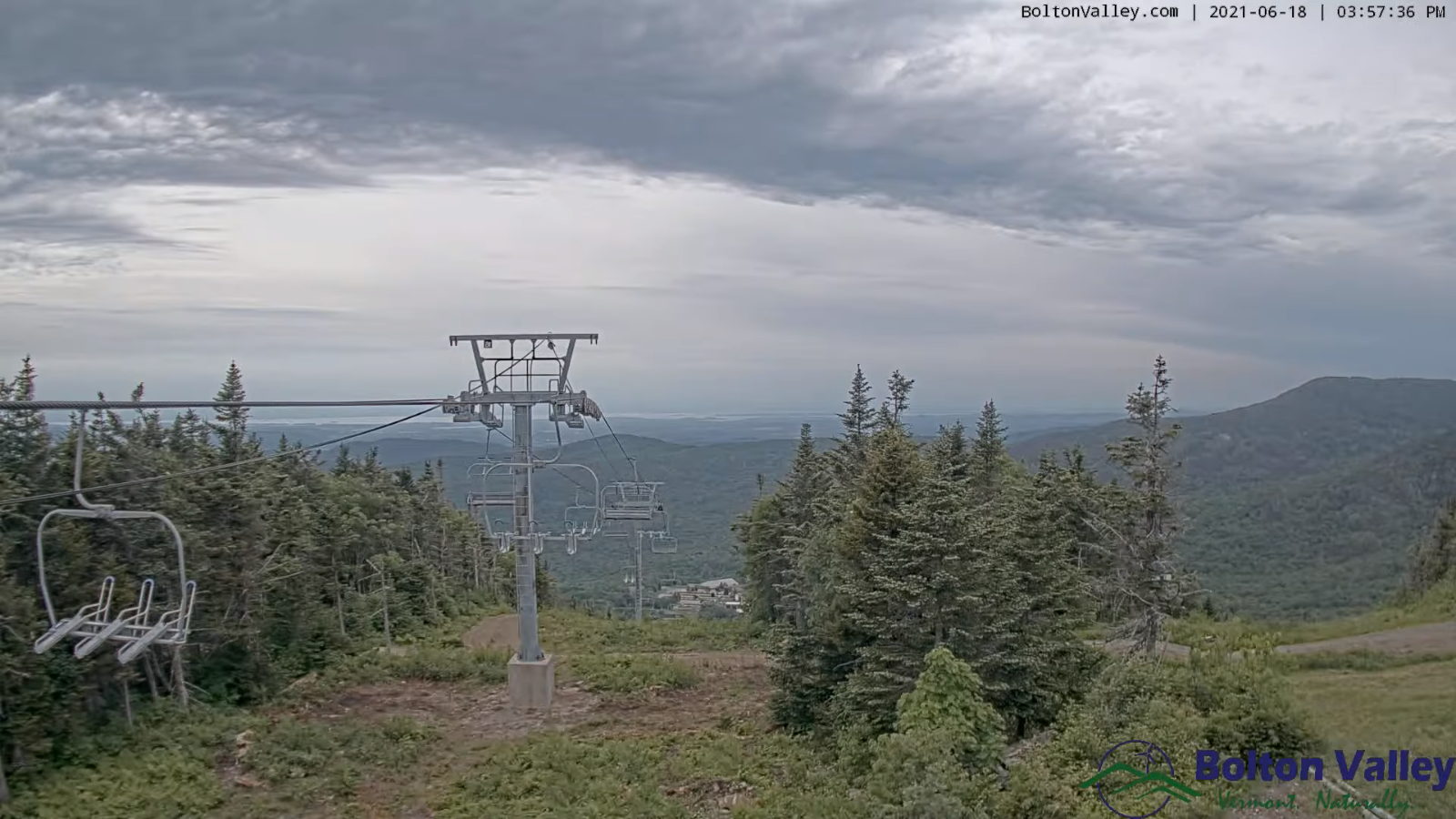
TOMORROW: Considerable cloudiness & much cooler. Chance for light rain showers Barre-Montpelier area south developing in the afternoon. Rather cool…with a high around 65 and not so clammy. Northwest breeze 10 mph.
TUESDAY NIGHT: Clouds with a chance for a leftover light showers…then clearing and cool with patchy valley fog. A low around 45. Light northwest winds.
WEDNESDAY: Morning sun after patchy fog, then more clouds in the afternoon, remaining cool, much less humid. A high mid to upper 60s. Northwest breeze 10 mph.
Looking further ahead…
WEDNESDAY NIGHT: Mostly clear and chilly. Patchy valley fog. A low mid to upper 40s.
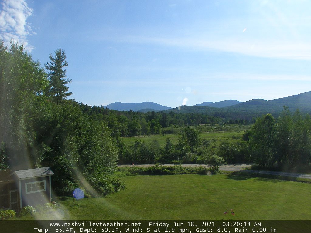
THURSDAY: Pick of the week. Mostly sunny after any morning fog. A high mid to upper 70s.
FRIDAY: Lots of sunshine. A low in the 50s. A high near 80.
SATURDAY: Brief morning sun, then lots of clouds. Chance for showers, maybe a thunderstorm. Turning muggy. A low in the upper 50s to around 60. A high 80 to 85.
Average low in the low to mid 50s. Average highs in the mid to upper 70s.
Meteorological summer peaks approx. July 22nd based off local climatology.
RH/6-21forecast][end]