
TONIGHT: Clear and comfortably cool. A low 50 to 55. Light north winds.
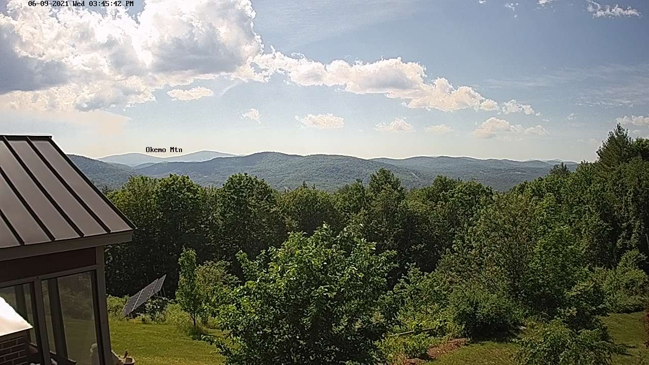
TOMORROW: Pick of the week. Sunshine mixing with high cloudiness and lowered humidity. A high in the 70 to 75. Light north winds.
THURSDAY NIGHT: Patchy high clouds. Patchy valley fog. A low 50 to 55. Light northeast winds
FRIDAY: Clouds with a few breaks of sun. Cool. A high in the upper 60s near 70. Light southeast winds.
Looking further ahead…
FRIDAY NIGHT: Mostly clear a few high southern areas. Isolated valley fog. A low upper 40s to lower 50s.
SATURDAY: Partly to mostly sunny and gorgeous. A high near 75.
SUNDAY: Clouding up & increasingly muggier. Rising chance for showers and a few thunderstorms some possibly strong and heavy. A low around 55. Warmer. A high mid to upper 70s.
MONDAY: Partly to mostly cloudy. Widely scattered showers and afternoon thunderstorms. A low around 55. A high 70 to 75.
Average low 50 to 55. Average highs low to mid-70s.
Start of Meteorological Summer June in progress peaks approx. July 22nd based off local climatology.
RH/6-9forecast][end]
