
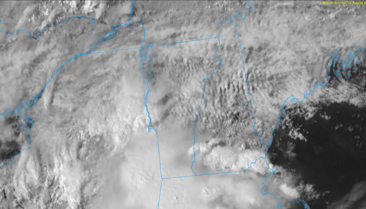
TONIGHT: Mostly cloudy. Warm and sticky. Scattered mainly evening showers and isolated thunderstorms…southern areas. A rising chance for showers near the Canadian border overnight. A low around 65. Light southwest winds shifting to northwest late.
TOMORROW: Decent sunshine after morning clouds with a sprinkle. Gradually less humid in the afternoon, isolated showers, a rumble of thunder possible southern Vermont. A high 80 to 85. Northwest winds 10 mph in the afternoon.
WEDNESDAY NIGHT: High cloudiness. Cooler and refreshingly less humid. Isolated valley fog. A low around 55. Light north winds.
THURSDAY: A fair amount of sunshine with high clouds. A high around 75. Light north winds.
Looking further ahead…
THURSDAY NIGHT: Patchy high clouds. Patchy valley fog. A low 50 to 55.
FRIDAY: Considerable clouds. Chance for a mountain shower. Cool. A high in the upper 60s.
SATURDAY: A few morning clouds with a few brief showers, then partly to mostly sunny. A low 50 to 55. A high around 75.
SUNDAY: Partly sunny with more clouds later on. A low in the low 50s. Warmer. A high 75 to 80.
MONDAY: Mostly cloudy. Scattered showers and afternoon thunderstorms. A low 55 to 60. A high around 70.
Average low 50 to 55. Average highs low to mid-70s.
Start of Meteorological Summer June in progress peaks approx. July 22nd based off local climatology.
RH/6-8forecast][end]
