Updated Tuesday Morning forecast — January 25th, 2022

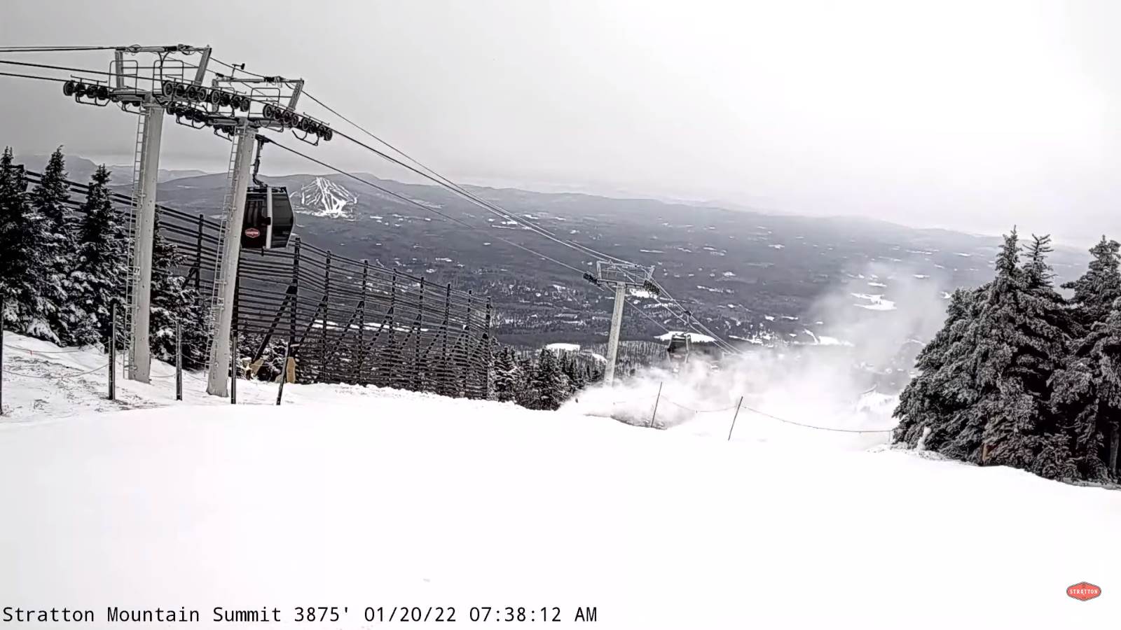
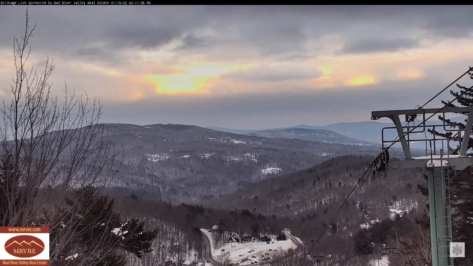
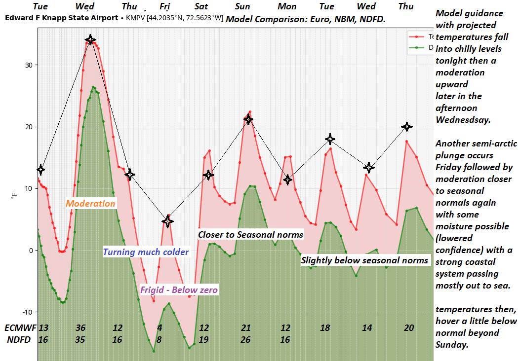
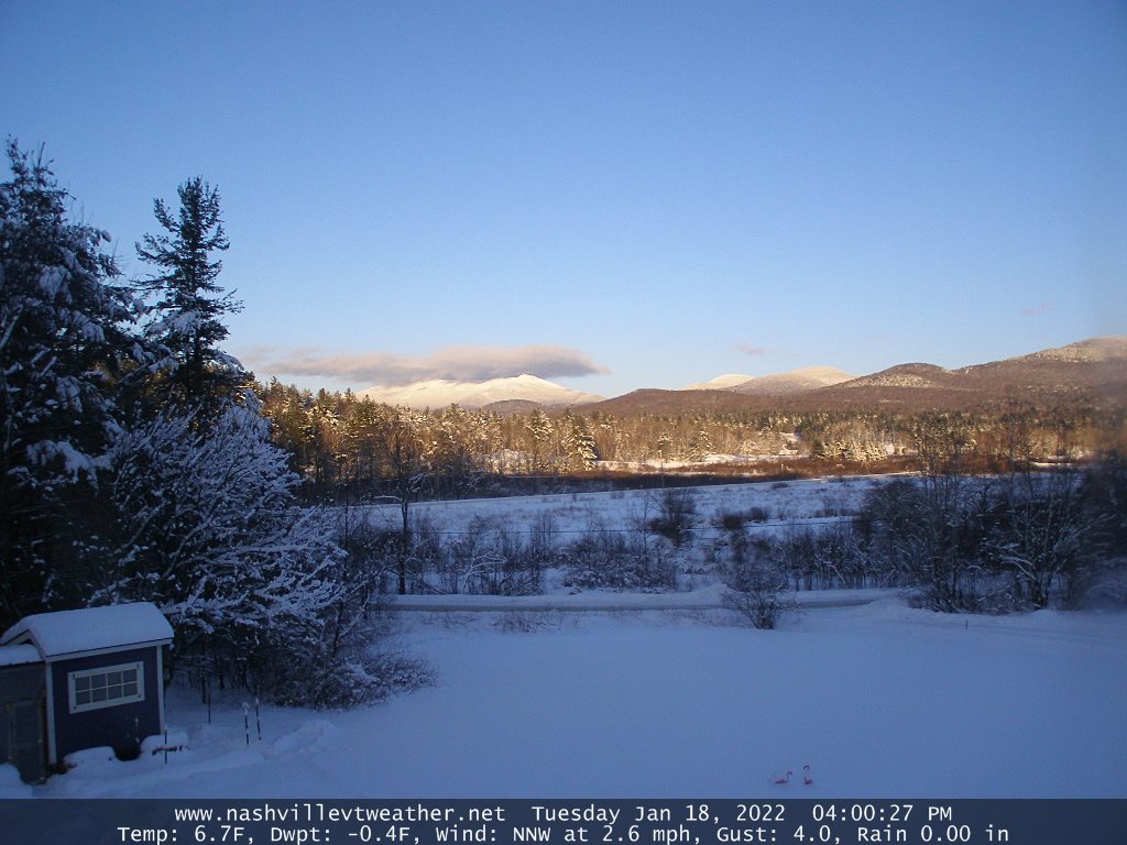
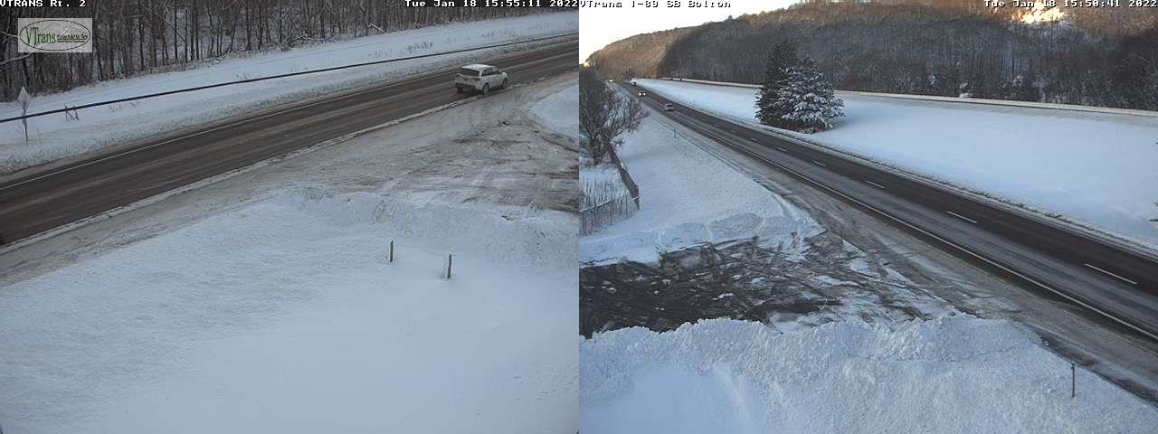
TODAY: Mainly gray, but a few intervals of sun. Lingering flurries or light snow showers this morning, and again flaring up this afternoon. Light coatings at times to less than an inch. A high in the mid to upper 20s. Light southwest winds picking up later in the day shifting to westerly 10 mph.

TONIGHT: Lingering mountain flurries with minor accumulation, otherwise partly cloudy. Turning colder. A low 5 below to 5 above. Light northwest winds.

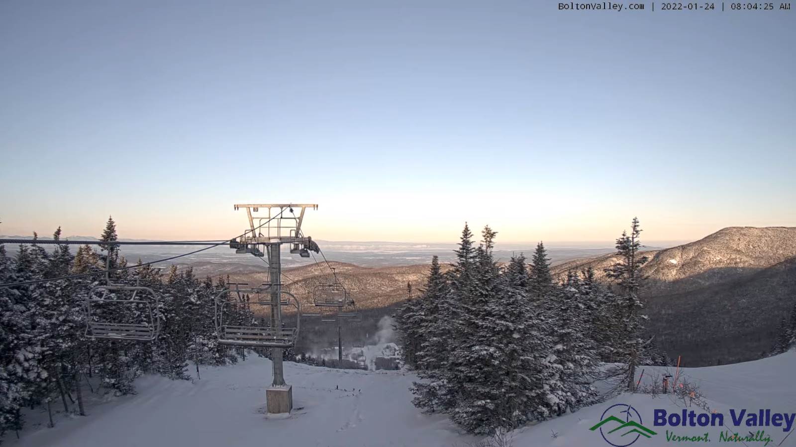
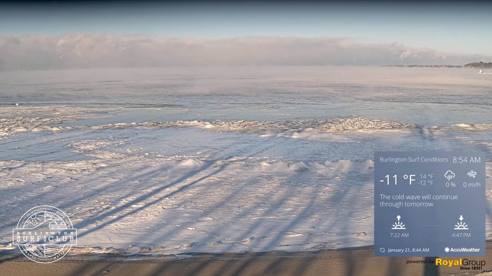
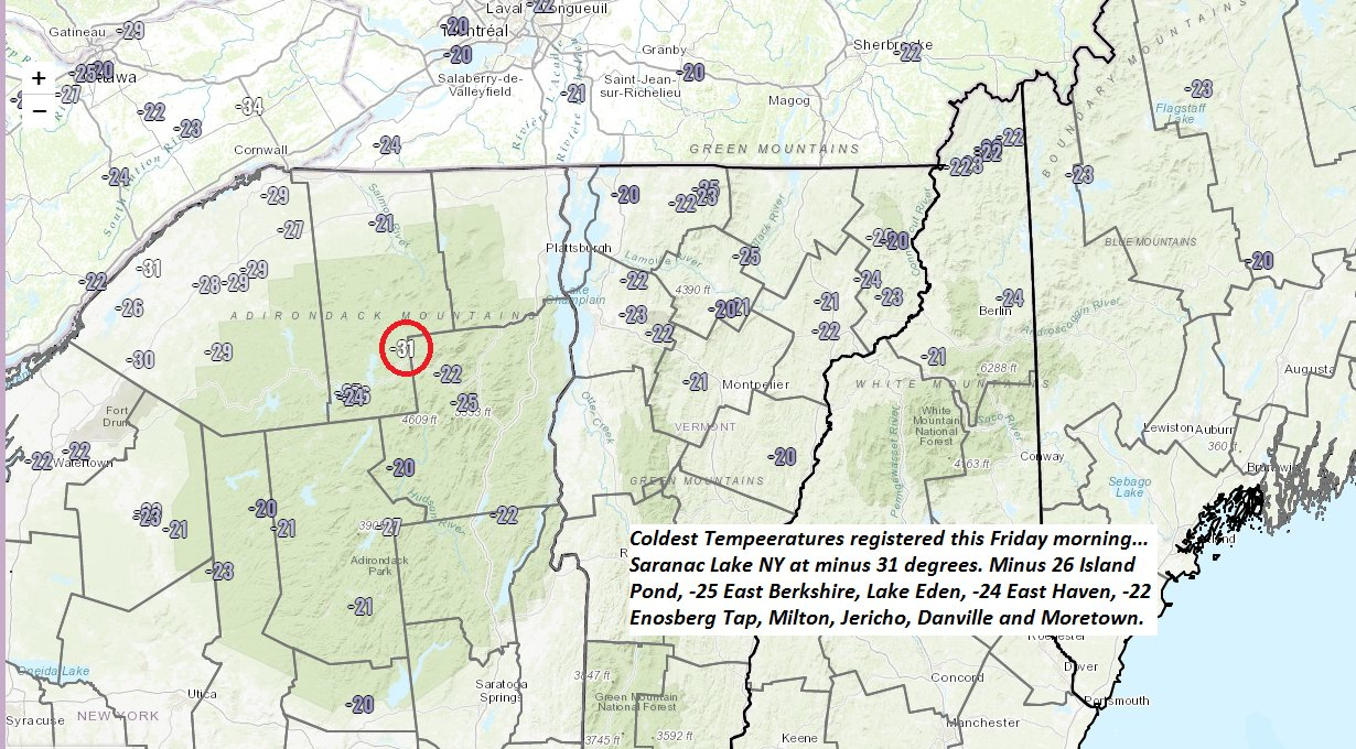
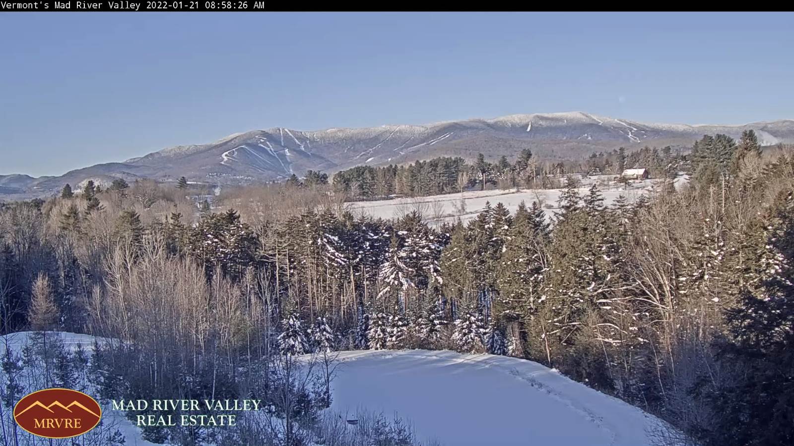
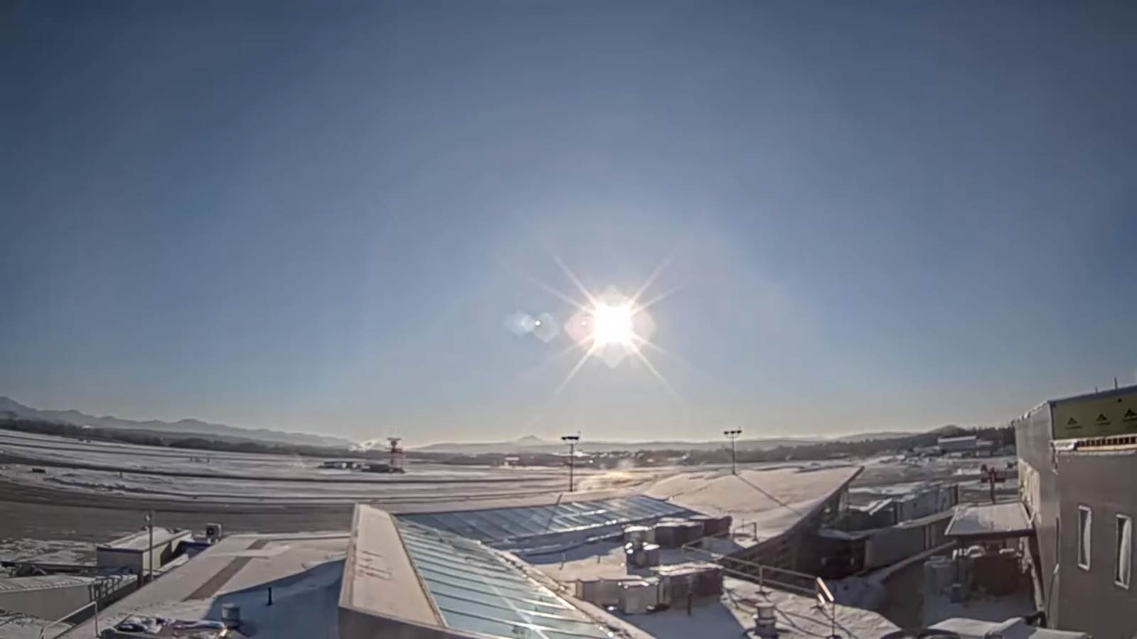
WEDNESDAY: Morning clouds with a few stray mountain flurries, giving lots of afternoon sunshine. Deep freeze conditions. A high near zero northern areas, to around 5 above. Northwest winds 10 mph with very cold wind chills.

Looking further ahead…

WEDNESDAY NIGHT: Mostly clear & frigid. Arctic chill. A low ranging 10 to 20 below with minus 20s coldest hollows northern Vermont.

THURSDAY: Frigid start with intervals of morning sun, then cloudy. Not so cold with a high mid-teens to low 20s.

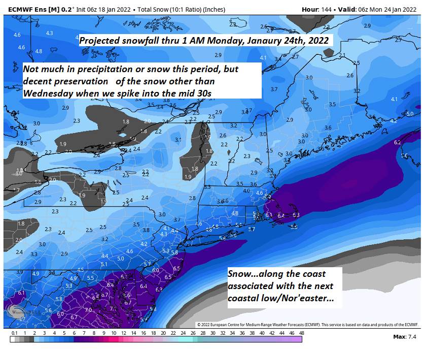
FRIDAY: Gray skies. Scattered flurries or light snow showers with minor accumulation. A low 5 to 15. A high around 25.

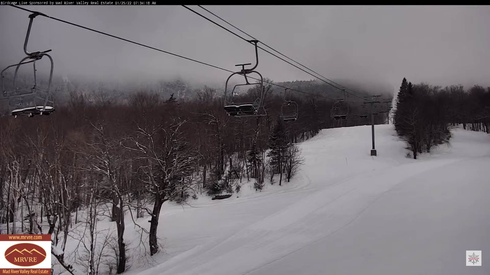
SATURDAY: Overcast. A chance for accumulating snow, possibly moderate to significant amounts Saturday night. A low zero to 10 above. A high in the teens.

Average lows single digits. Average highs ranging low to mid 20s.

End of Met. Winter March 9th

RH/1-25 forecast][end]

Updated Monday Evening Forecast — January 24th, 2022

TONIGHT: Lots of clouds. Light accumulating snow showers or flurries arriving this evening. About a half to 2 inches of fluff. An evening low 5 to 10 then slightly warmer overnight. Light southeast winds.

TOMORROW: Mainly gray, but some intervals of sun. Lingering flurries or light snow showers. Minor accumulation. A high 25 to 30. Light southwest winds picking up later in the day shifting to westerly 10 mph.

TUESDAY NIGHT: Lingering flurries with minor accumulation, otherwise partly cloudy. Turning colder. A low 5 below to 5 above. Light northwest winds.

WEDNESDAY: Morning clouds with a few stray mountain flurries, giving way to bright sun. Deep freeze conditions. A high near zero northern areas to around 5 above. Northwest winds 10 mph with very cold wind chills.

Looking further ahead…

WEDNESDAY NIGHT: Mostly clear & frigid. Arctic chill. A low ranging 10 to 25 below.

THURSDAY: Frigid start with intervals of morning sun, then cloudy. Not so cold with a high 15 to 20.

FRIDAY: Gray skies. Widely scattered flurries especially in the morning. A low 5 to 15. A high around 25.

SATURDAY: Overcast. A rising chance for accumulating snow, possibly moderate to significant amounts. A low near 10. A high 15 to 20.

Average lows single digits. Average highs ranging low to mid 20s.

End of Met. Winter March 9th

RH/1-24 forecast][end]

Updated Monday morning Forecast — January 24th, 2022

TODAY: Partly to mostly sunny with more clouds arriving late. A cold start but with a high in the mid-teens. Little wind.

TONIGHT: Clouding up. A rising chance for scattered snow showers or flurries later this evening. About a dusting to an inch accumulation. A low ranging 5 to 15 degrees. Light southeast winds.

TUESDAY: Mainly gray with a few breaks possible late. Chance for light accumulating snow showers. A dusting to an inch accumulation. A high mid 20s pushing to near 30. West breeze in the afternoon about 10 mph.

Looking further ahead…

TUESDAY NIGHT: Lingering flurries with little additional accumulation, otherwise partly to mostly cloudy. Turing colder. A low zero to 10 below.

WEDNESDAY: Morning clouds with a stray flurry early, giving way to bright sun and blue skies. A high zero to 5 above.

THURSDAY: Frigid start with morning sun, then increasing afternoon clouds. A low 10 to 20 below. Milder later on. A high mid-teens to near 20.

FRIDAY: Gray skies. Widely scattered flurries. A low zero to 10 above. A high around 25.

Average lows single digits. Average highs ranging low to mid 20s.

End of Met. Winter March 9th

RH/1-24 forecast][end]

Updated Friday Evening Forecast — January 21st, 2022

TONIGHT: Mostly clear and partially moonlit. A low 5 to 15 below colder isolated hollows. Little wind.

TOMORROW: Sunshine giving way to high cloudiness late in the afternoon. A high 10 to 15. Light south winds.

SATURDAY NIGHT: Lot of clouds. A low in the single digits. Light southeast winds but breezy near Lake Champlain.

Met winter peaks Sunday January 23rd

SUNDAY: Clouds, with a break of sun away from the mountains. Widely scattered snow showers or flurries developing late with a light coating in spots. Turning blustery. A high in the low 20s. Southwest winds shifting to northwesterly 10 to 15 mph in the afternoon.

Looking further ahead…

SUNDAY NIGHT: Scattered evening snow showers or flurries, less than an inch accumulation. Otherwise variable clouds. A low 5 to 15 below.

MONDAY: Partly to mostly sunny. Frigid at night. A high near 15.

TUESDAY: Cloudy. Chance for light accumulating snow showers. A low 5 to 15. A high pushing to near 30.

WEDNESDAY: Mainly cloudy. Chance for light accumulating snow or snow showers. A low zero to 10 below. A high in the single digits.

Average lows single digits. Average highs ranging low to mid 20s.

End of Met. Winter March 9th

RH/1-21 forecast][end]

Updated Friday Morning Forecast — January 21st, 2022

Wind chill Advisory this morning expires 10 AM…

TODAY: Diamond Dust flurries local to Lake Champlain. Otherwise sunny but bitterly cold. A high ranging near zero Quebec border, to around 10 above. Light northwest winds.

TONIGHT: Mostly clear and partially moonlit. An early low 10 to 20 below. Little wind.

SATURDAY: Sunshine giving way to high cloudiness late in the afternoon. A high 10 to 15. Little wind.

Looking further ahead…

SATURDAY NIGHT: Lot of clouds. A low in the single digits.

Met winter peaks Sunday January 23rd

SUNDAY: Lots of clouds. Widely scattered snow showers or flurries developing late with a light coating in spots. A high 20 to 25.

MONDAY: Partly to mostly sunny. Frigid at night. A low zero to 10 below. A high 10 to 15.

TUESDAY: Cloudy. Chance for light accumulating snow showers. A low single digits. A high 25 to 30.

Average lows single digits. Average highs ranging low to mid 20s.

End of Met. Winter March 9th

RH/1-21 forecast][end]

Updated Thursday Evening Forecast — January 20th, 2022

Wind chill Advisory this evening thru Friday mid-morning…

TONIGHT: Mostly clear and partially moonlit. Frigid. A low ranging 5 to 15 below. Light northwest winds lowering wind chills.

TOMORROW: Diamond Dust flurries local to Lake Champlain. Otherwise sunny but bitterly cold. A high ranging near zero Quebec border, to around 10 above. Light northwest winds.

FRIDAY NIGHT: Mostly clear and partially moonlit. An early low 5 to 15 below. Little wind.

SATURDAY: Sunshine giving way to high cloudiness late. A high 10 to 15. Little wind.

Looking further ahead…

SATURDAY NIGHT: Thickening clouds. A low in the single digits.

Met winter peaks Sunday January 23rd

SUNDAY: Lots of clouds. Widely scattered flurries. A high 20 to 25.

MONDAY: Partly to mostly sunny. Frigid at night. A low 10 to 20 below. A high 10 to 15.

TUESDAY: Cloudy. Chance for light accumulating snow showers. A low single digits. A high mid-20s to low 30s.

Average lows single digits. Average highs ranging low to mid 20s.

End of Met. Winter March 9th

RH/1-20 forecast][end]

Updated Thursday morning Forecast — January 20th, 2022

TODAY: A stray flurry early. Otherwise becoming partly sunny. A high ranging upper single digits Quebec border to mid-teens elsewhere. Light northwest winds.

Wind chill Advisory this evening thru Friday mid-morning…

TONIGHT: Partly cloudy. Frigid. A low ranging 5 to 15 below. Northwest winds 10 mph lowering wind chills.

FRIDAY: Diamond Dust flurries local to Lake Champlain. Otherwise lots of sunshine. Below normal in temperature. A high ranging near zero Quebec border, to around 10 above. Light northwest winds.

Looking further ahead…

FRIDAY NIGHT: Mostly clear and partially moonlit. An early low 10 to 15 below

SATURDAY: Sunshine giving way to high cloudiness late. A high low to mid-teens.

Met winter peaks Sunday January 23rd

SUNDAY: Lots of clouds. Widely scattered flurries. A low 5 below to 5 above. A high 20 to 25.

MONDAY: Partly to mostly sunny. A low 5 to 15 below. A high 10 to 15.

TUESDAY: Cloudy. Chance for light accumulating snow showers. A low single digits. A high mid-teens to low 20s.

Average lows single digits thru low-teens. Average highs ranging thru the 20s.

End of Met. Winter March 9th

RH/1-20 forecast][end]

Updated Wednesday Evening Forecast — January 19th, 2022

TONIGHT: Considerable cloudiness. Flurries especially northern higher terrain overnight. A low around 15. Southwest winds 10 mph stronger toward the Champlain Valley shifting to northwesterly overnight.

TOMORROW: A few flurries in the morning with little accumulation. Becoming partly to mostly sunny. Blustery and colder again. A high around 15, but colder northern areas. Light northwest winds.

THURSDAY NIGHT: Partly cloudy. Frigid. A low ranging 5 to 15 below. Light northwest winds.

FRIDAY: Diamond Dust flurries near Lake Champlain. Otherwise more sun than clouds. Below normal in temperature. A high near 5 above. Light northwest winds.

Looking further ahead…

FRIDAY NIGHT: Mostly clear and partially moonlit. An early low 5 to 15 below

SATURDAY: Sunshine giving way to high cloudiness. A high near 15.

Met winter peaks Sunday January 23rd

SUNDAY: Lots of clouds. Scattered flurries near the Quebec border more isolated further south in the afternoon. A low zero to 10 below. A high 20 to 25.

MONDAY: Partly sunny. A low in the single digits. A high around 15.

Average lows single digits thru low-teens. Average highs ranging thru the 20s.

End of Met. Winter March 9th

RH/1-19 forecast][end]

Updated Wednesday morning Forecast — January 19th, 2022

TODAY: Mainly cloudy with a few breaks of afternoon sun. Scattered snow showers mainly northern areas, a dusting to an inch exiting late this afternoon.A late afternoon high about 35. South winds 10 to 15 mph.

TONIGHT: Considerable cloudiness. Scattered flurries with a light coating northern and western areas. A low ranging thru the teens. Southwest winds 10 mph.

THURSDAY: A few flurries in the morning with little accumulation. Becoming partly to mostly sunny. Blustery and colder again. Temperatures in the teens gradually drop into the singled digits northern areas. Light northwest winds.

Looking further ahead…

THURSDAY NIGHT: Partly cloudy. Frigid. A low ranging 5 to 15 below.

FRIDAY: Diamond Dust flurries Champlain Valley early. Variable clouds, eventually periods of afternoon sun. Below normal in temperature. A high near 5 above.

SATURDAY: High cloudiness otherwise mostly sunny. An early low 5 to 15 below. A high near 15.

Met winter peaks Sunday January 23rd

SUNDAY: Lots of clouds. Scattered flurries northern/western areas. A low zero to 10 below. A high 20 to 25.

MONDAY: Morning clouds, then increasing sunshine. A low in the single digits. A high around 15.

Average lows single digits thru low-teens. Average highs ranging thru the 20s.

End of Met. Winter March 9th

RH/1-18 forecast][end]

Updated Tuesday Evening Forecast — January 18th, 2022

Wind Chill Advisory 4 PM thru 7 AM Wednesday morning Lamoille-Caledonia County north.

TONIGHT: Clear & moonlit skies for a time this evening before increasing clouds. Slight chance for flurries toward the Champlain Valley. A low 5 to 10 below. Northwest winds 10 mph this evening falling off overnight.

TOMORROW: Gray. Snow showers northern areas, a dusting to an inch or two.A late high about 35 degrees. South winds 10 to 15 mph.

WEDNESDAY NIGHT: Partly to mostly cloudy. Scattered flurries with a light coating northern and western areas. A low 10 to 15. Southwest winds 10 mph.

THURSDAY: A stray morning flurry or two. Becoming partly to mostly sunny. Blustery and colder again. A high upper single digits Quebec border…to the mid-teens. Light northwest winds.

Looking further ahead…

THURSDAY NIGHT: Partly cloudy. A low ranging 10 to 15 below.

FRIDAY: A few clouds Diamond Dust Champlain Valley in the morning. Otherwise bright sunshine. A high ranging thru single digits above zero.

SATURDAY: High cloudiness otherwise mostly sunny. An early low 5 to 15 below. A high near 15.

Met winter peaks Sunday January 23rd

SUNDAY: Lots of clouds. Maybe a flurry far northern/western areas. A low zero to 10 below. A high around 20

Average lows single digits thru low-teens. Average highs ranging thru the 20s.

End of Met. Winter March 9th

RH/1-18 forecast][end]