
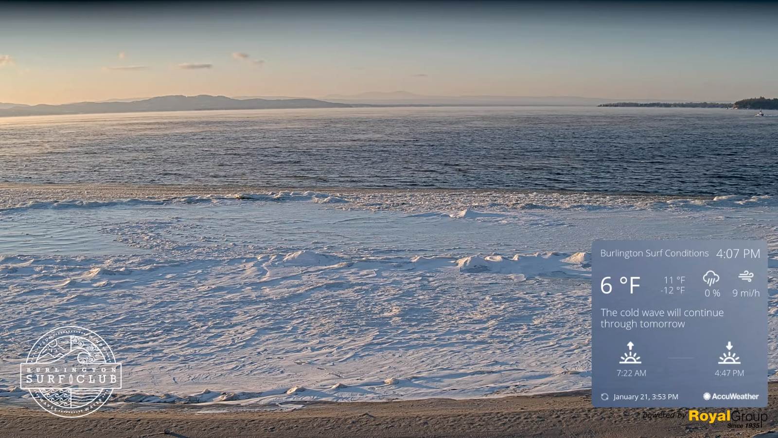
TONIGHT: Mostly clear and partially moonlit. A low 5 to 15 below colder isolated hollows. Little wind.
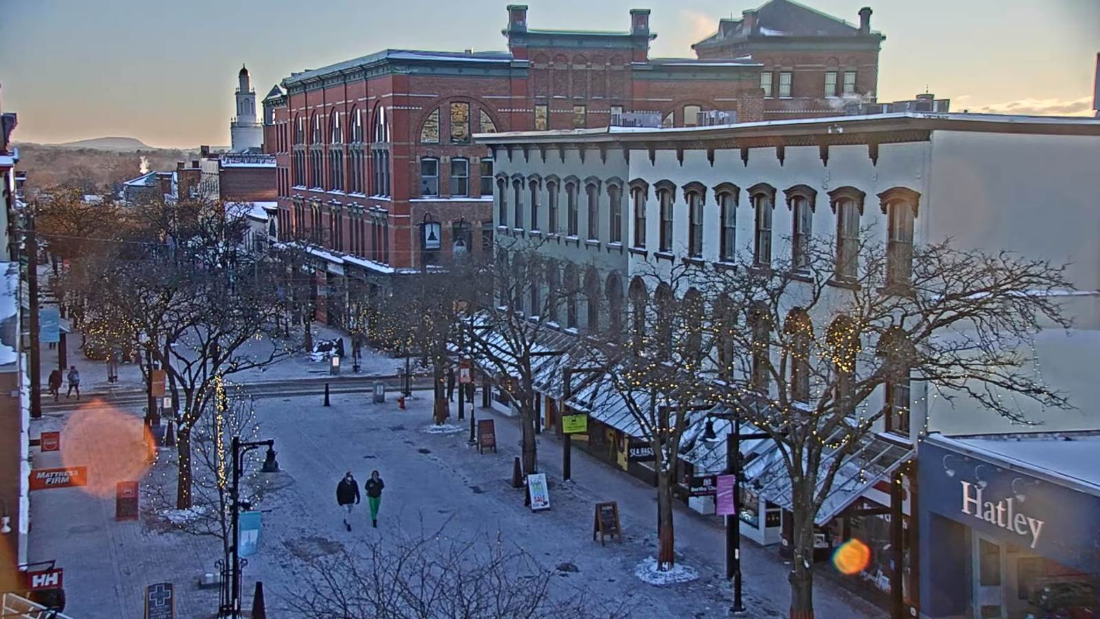
TOMORROW: Sunshine giving way to high cloudiness late in the afternoon. A high 10 to 15. Light south winds.
SATURDAY NIGHT: Lot of clouds. A low in the single digits. Light southeast winds but breezy near Lake Champlain.
Met winter peaks Sunday January 23rd
SUNDAY: Clouds, with a break of sun away from the mountains. Widely scattered snow showers or flurries developing late with a light coating in spots. Turning blustery. A high in the low 20s. Southwest winds shifting to northwesterly 10 to 15 mph in the afternoon.
Looking further ahead…
SUNDAY NIGHT: Scattered evening snow showers or flurries, less than an inch accumulation. Otherwise variable clouds. A low 5 to 15 below.
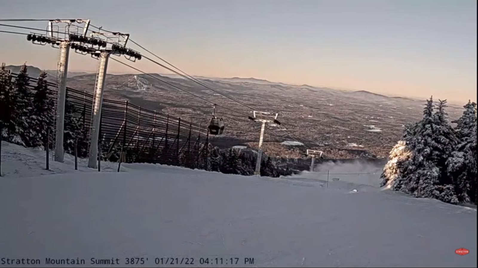
MONDAY: Partly to mostly sunny. Frigid at night. A high near 15.
TUESDAY: Cloudy. Chance for light accumulating snow showers. A low 5 to 15. A high pushing to near 30.
WEDNESDAY: Mainly cloudy. Chance for light accumulating snow or snow showers. A low zero to 10 below. A high in the single digits.

Average lows single digits. Average highs ranging low to mid 20s.
End of Met. Winter March 9th
RH/1-21 forecast][end]
