Updated Tuesday Morning Forecast — January 18th, 2022

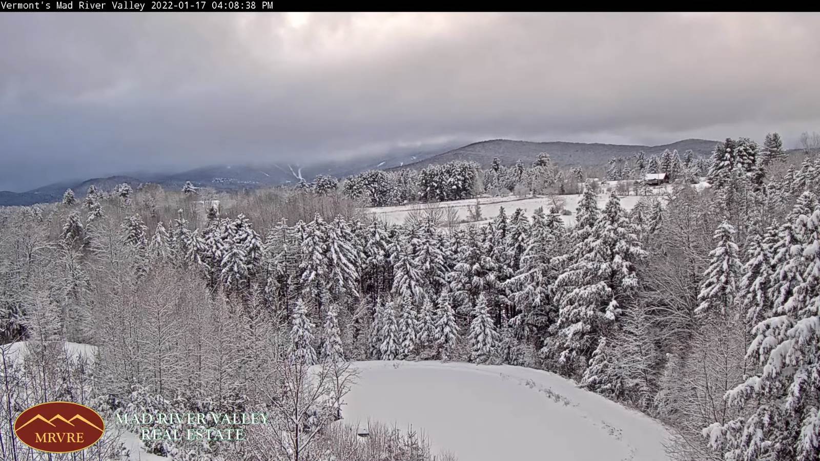
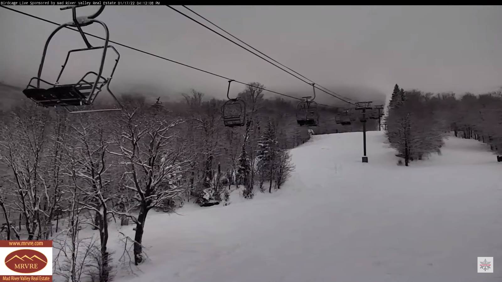
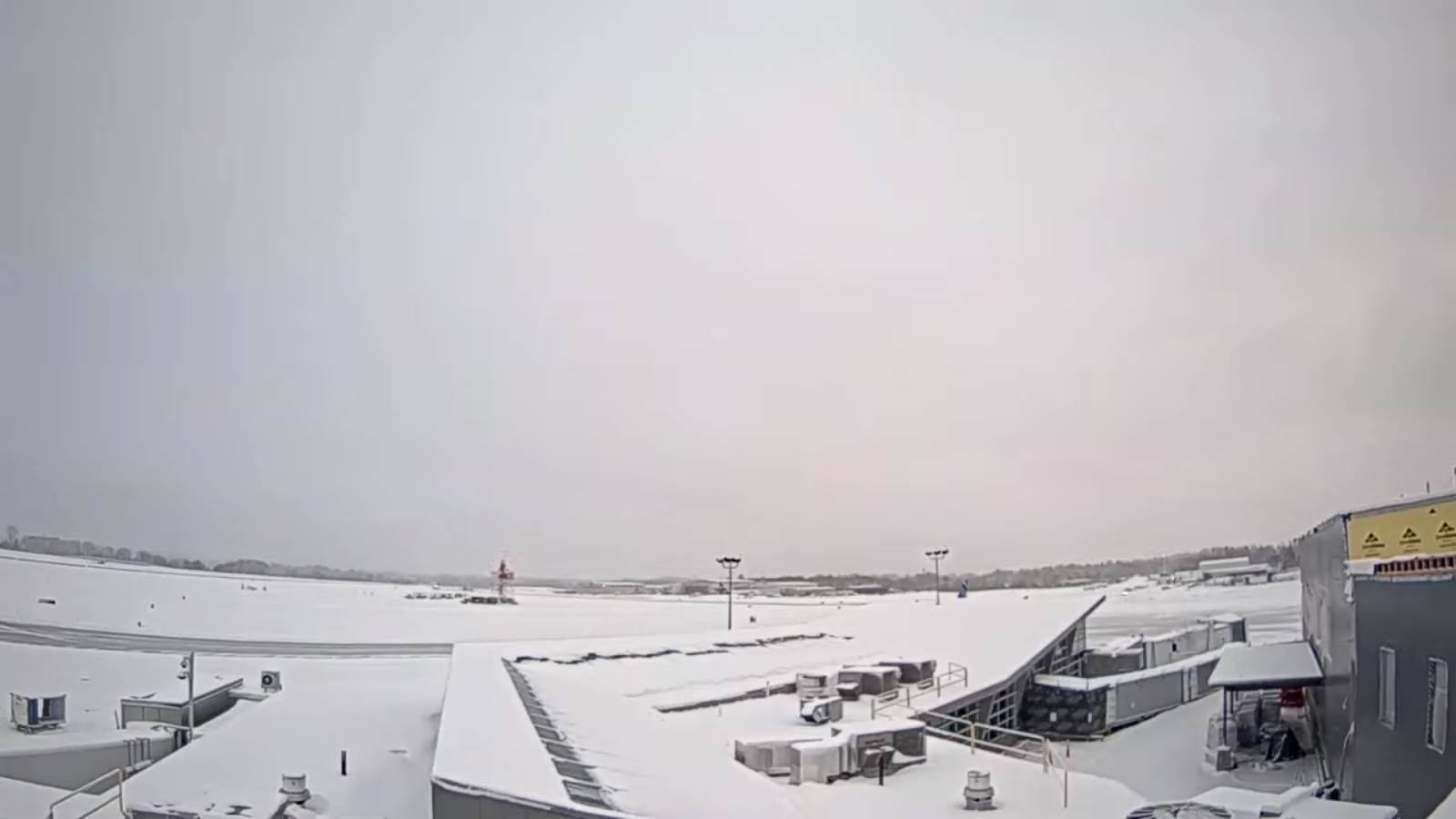
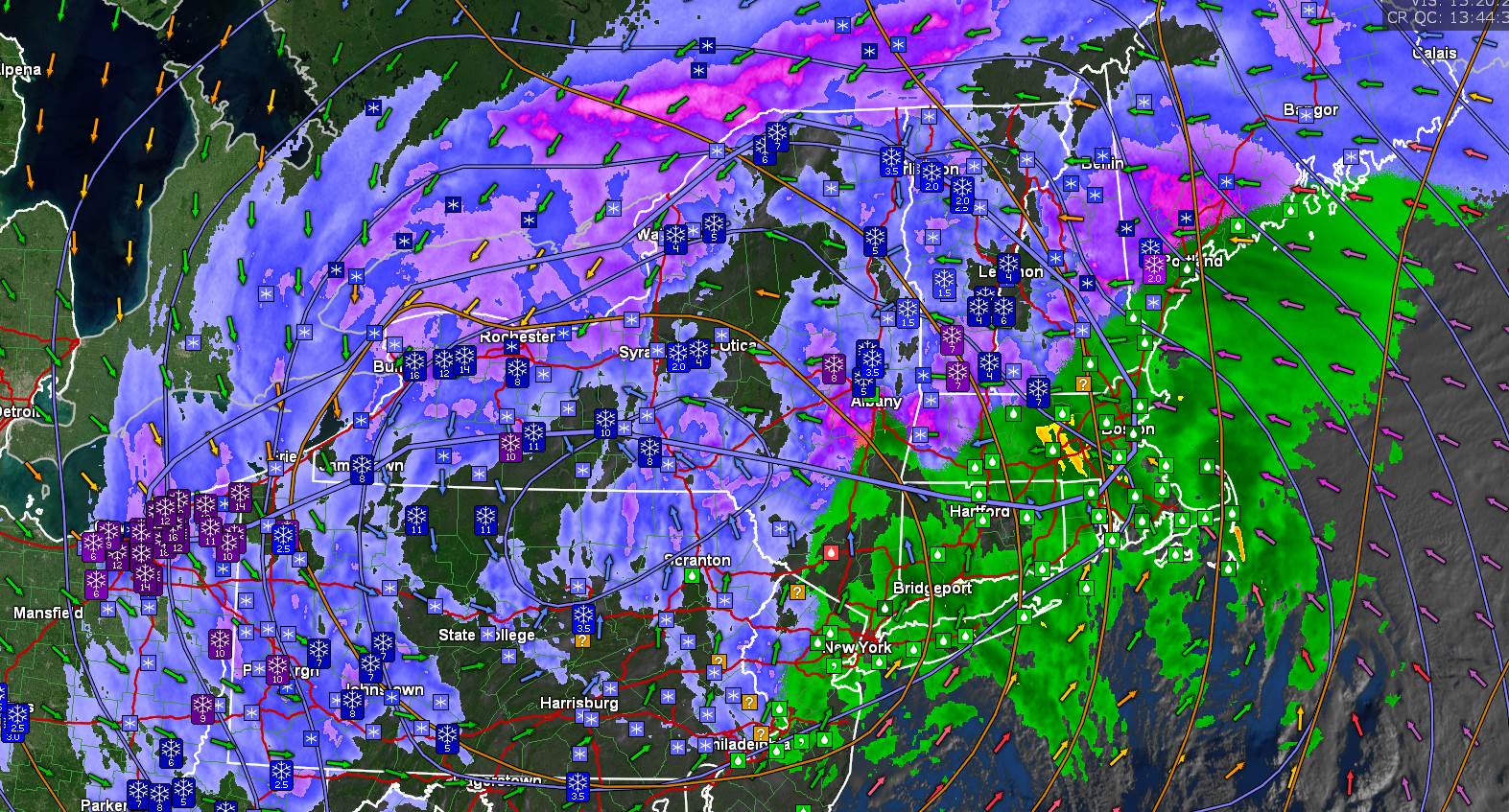
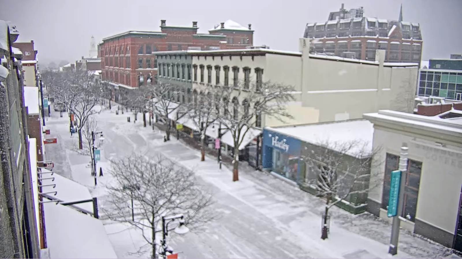
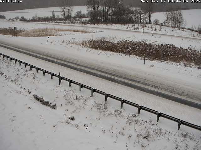
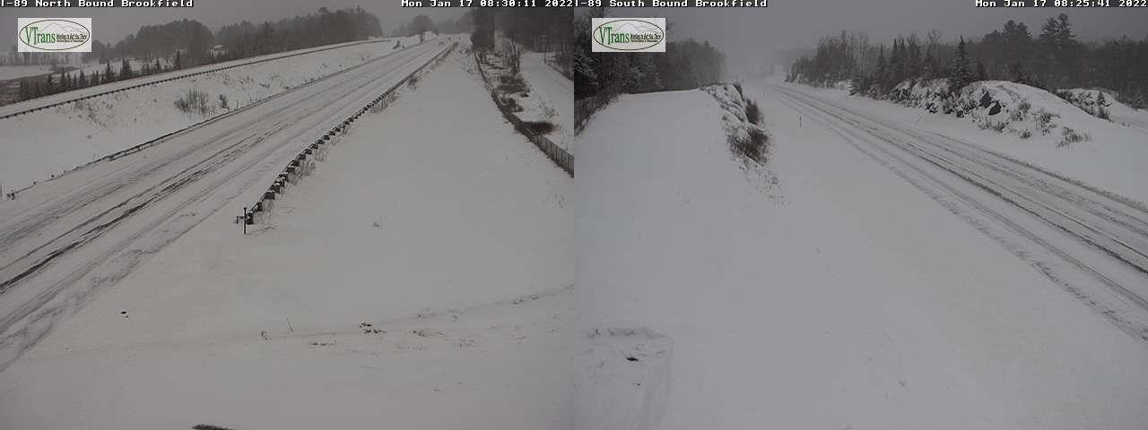
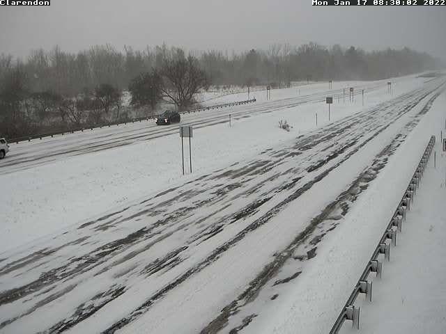
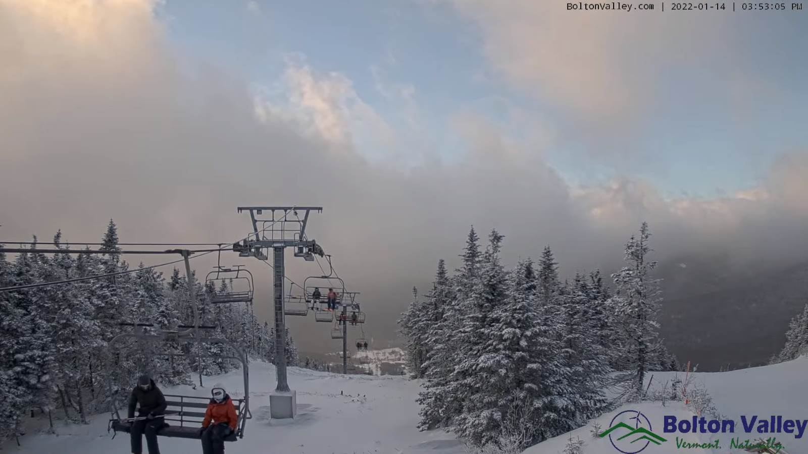
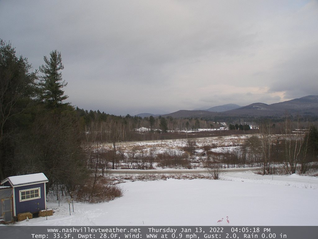
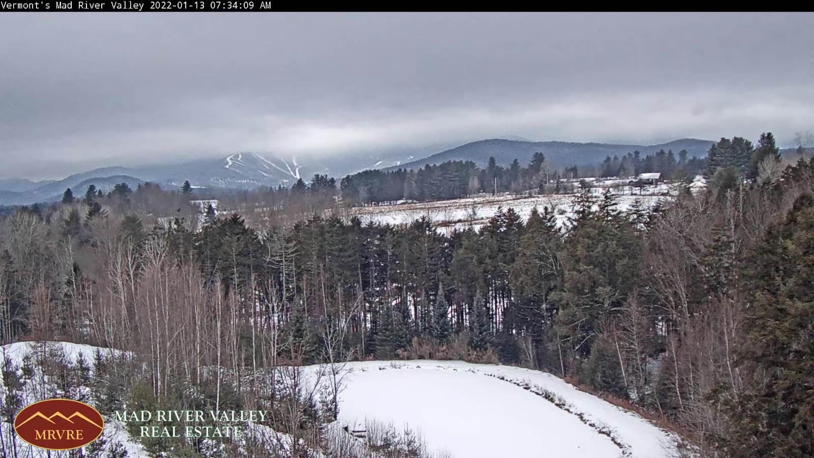
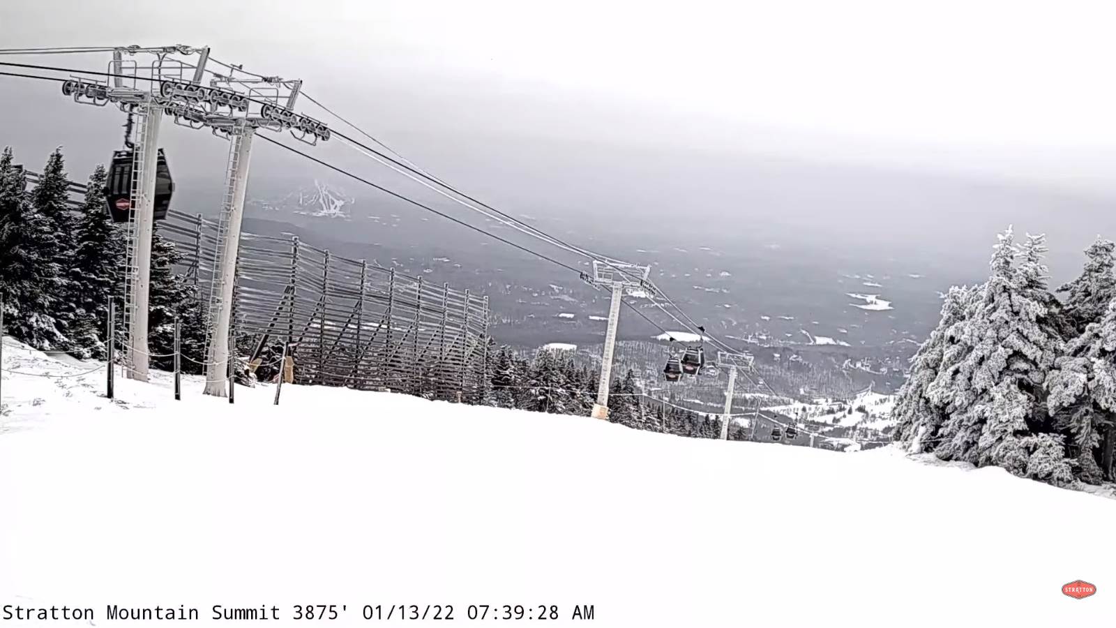
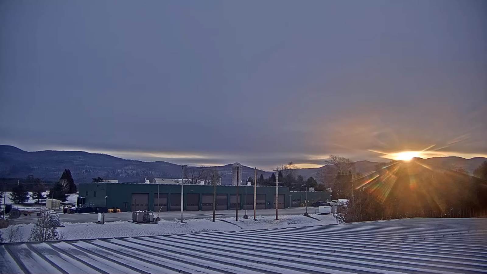
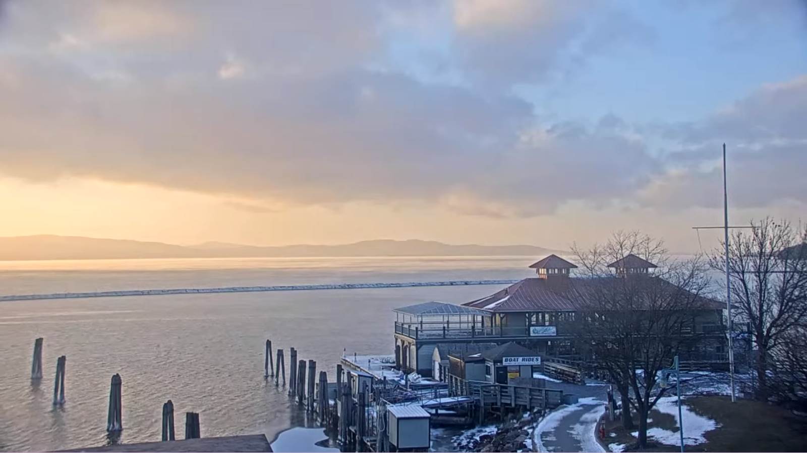
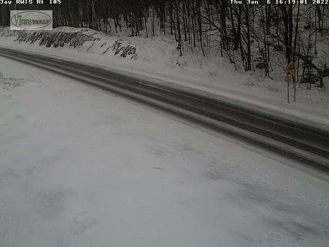
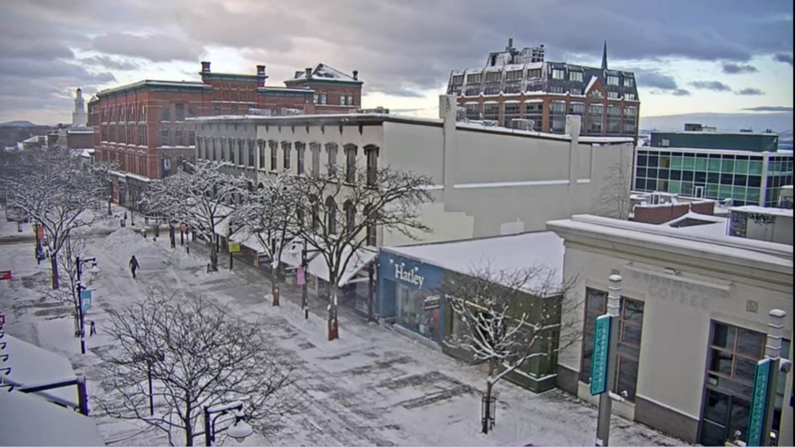
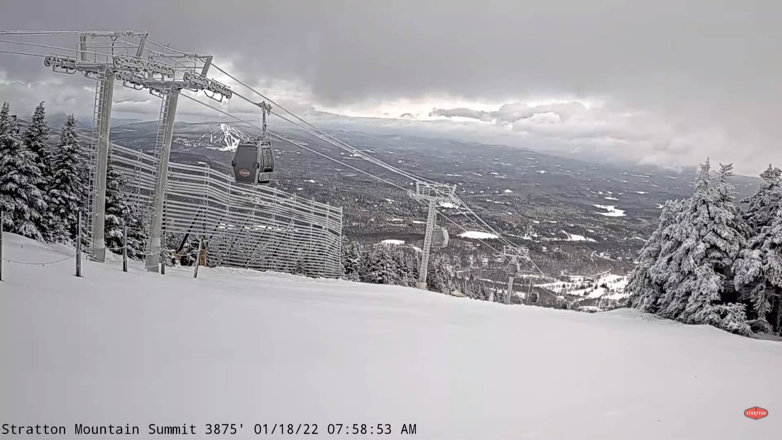
TODAY: Leftover mountain flurries dry up this morning. Increasing sunshine away from the mountains. Blustery and gradually colder. An early high temperature in the mid-teens then falling into the single digits. Northwesterly winds 10 to 20 mph with lowered wind chills.

Wind Chill Advisory 4 PM thru 7 AM Wednesday morning Lamoille-Caledonia County north.

TONIGHT: Clear & partially moonlit skies then, increasing clouds overnight. Slight chance for a flurry toward the Champlain Valley. A low near 10 below. Northwest winds 10 mph this evening falling off overnight.

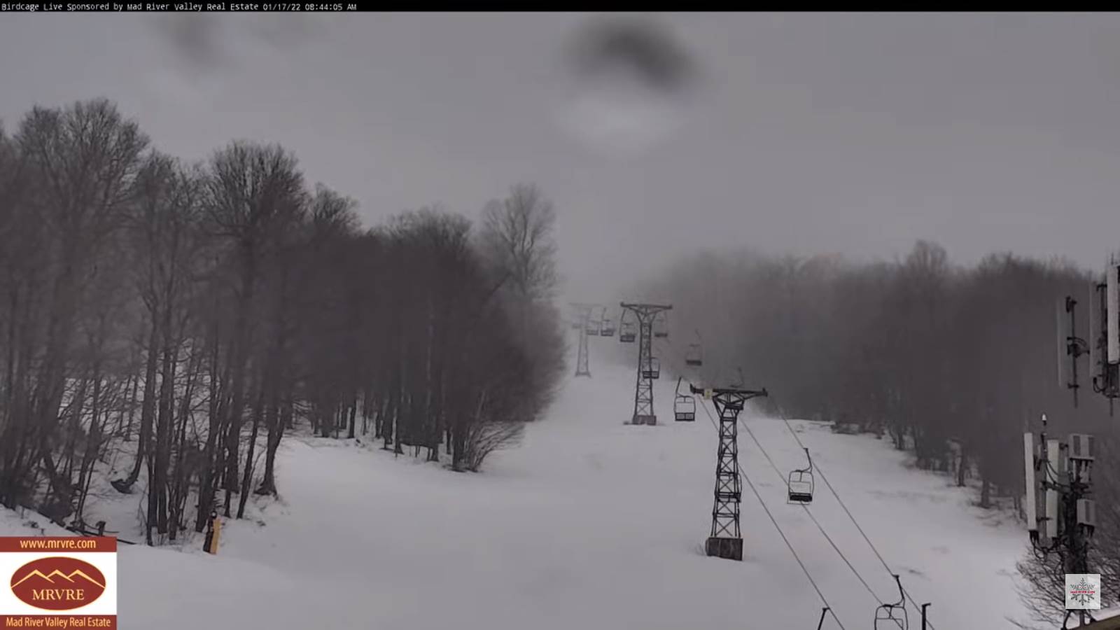
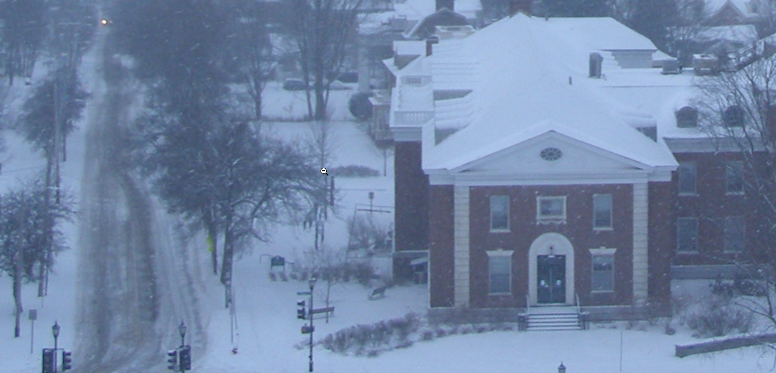
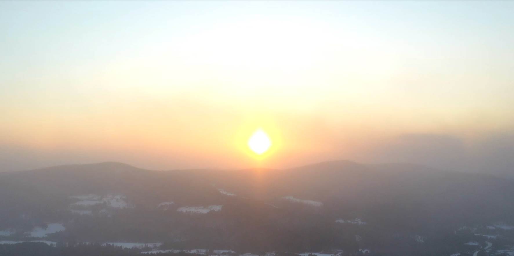
WEDNESDAY: Gray. Snow showers northern areas, a dusting to an inch or two.A late high near 35 degrees. South breeze 10 to 15 mph.

Looking further ahead…

WEDNESDAY NIGHT: Partly to mostly cloudy. Scattered flurries with a light coating. A low in the teens.

THURSDAY: A stray morning flurry or two. Becoming partly to mostly sunny. Blustery and colder again. A high upper single digits Quebec border…to the mid-teens

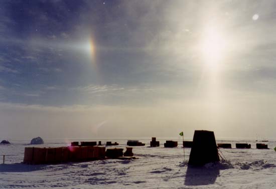
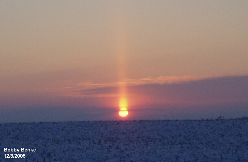
FRIDAY: A few clouds Diamond Dust Champlain Valley. Mostly sunny giving way high cloudiness. A low ranging 10 to 20 below. A high zero to 5 above.

SATURDAY: Thickening clouds. Chance for light snow far southern areas in the afternoon. An early low 5 to 15 below. A high near 15.

Met winter peaks Sunday January 23rd

SUNDAY: Lots of clouds. Maybe a flurry far northern/western areas. A low zero to 10 below. A high 20 to 25.

Average lows single digits thru low-teens. Average highs ranging thru the 20s.

End of Met. Winter March 9th

RH/1-18 forecast][end]

Updated Monday Evening Forecast — January 17th, 2022

Full Wolf Moon 6:48 PM

TONIGHT: Lots of clouds.Periods of light snow or flurries. Accumulation of around an inch near the mountains.A low 10 to 15. West to northwest winds 10 to 25 mph with some minor blowing and drifting.

TOMORROW: A few leftover flurries drying up then increasing especially afternoon sun. Blustery and colder. Temperatures holding in the 10 to 15 degrees range. Northwesterly winds 10 to 20 mph.

TUESDAY NIGHT: Clear & partially moonlit skies then, increasing clouds overnight. A low 10 to 15 below. Little wind.

WEDNESDAY: Gray. Snow showers northern areas, with dusting to locally 2”.A late high near 32 to 35 degrees. South breeze 10 to 15 mph.

Looking further ahead…

WEDNESDAY NIGHT: Partly to mostly cloudy. Scattered flurries. A low mid-teens to low 20s.

THURSDAY: A stray morning flurry or two. Becoming partly to mostly sunny. Blustery and colder again. Temperatures falling to around 5 to 10 above with lowering wind chills.

FRIDAY: Mostly sunny giving way high cloudiness. A low 10 to 25 below. A high zero to 5 above.

SATURDAY: High cloudiness thickening up later in the afternoon. An early low 10 to 15 below. A high near 15.

Average lows single digits thru low-teens. Average highs ranging thru the 20s.

Met winter peaks January 23rd, End of Met. Winter March 9th

RH/1-17 forecast][end]

Updated Monday Morning Forecast — January 17th, 2022

Winter Weather Advisory western and northern Vermont, Winter Storm Warnings central/southern Greens. High wind Advisory western slopes and higher terrain especially S. and C. Vermont.

TODAY Martin Luther King Jr. Day: Overcast. Accumulating snow…moderate to briefly heavy at times central and southern Green Mountains…becoming lighter and mixing with a little sleet and rain especially valley floors for a time this afternoon. Accumulations range 2 to 6” Northeast Kingdom Barre-Montpelier and valleys to locally a foot southern Green Mountain summits. Blustery…with near blizzard-like conditions higher elevations this morning. An afternoon high near 35. East to southeast wind 10 to 20 mph with stronger gusts over 40 mph higher terrain especially western slopes of southern and central Green Mountains.

Full Wolf Moon 6:48 PM

TONIGHT: Mostly cloudy.Periods of light snow or snow showers with additional 1 to 2” winding down toward day break.A low 10 to 15. West to northwest winds 10 to 25 mph with few higher gusts with some blowing and drifting.

TUESDAY: A few leftover flurries drying up then increasing especially afternoon sun. Blustery and colder. An early high 10 to 15 then temperatures gradually colder. Little wind.

Looking further ahead…

TUESDAY NIGHT: Clear & partially moonlit skies. A low 10 to 15 below.

WEDNESDAY: Gray. A good chance for snow showers or flurries northern areas with minor accumulation.A late high near 32 degrees.

THURSDAY: Scattered morning snow showers or flurries minor accumulation. Partial afternoon sunshine. Blustery and sharply colder again. Temperatures falling into the single digits above zero.

FRIDAY: Mostly sunny with high cloudiness. A low 10 to 20 below. A high 5 above.

Average lows single digits thru low-teens. Average highs ranging thru the 20s.

Met winter peaks January 23rd, End of Met. Winter March 9th

RH/1-17 forecast][end]

Updated Friday Evening Forecast — January 15th, 2022

Wind Chill Warning 7 PM this evening thru 4 PM Saturday

TONIGHT: Variable cloudiness, blustery and frigid. A low 10 to 20 below. North to northwest winds 10 to 15 mph, stronger near Lake Champlain with dangerous wind chills into the minus 30s in exposed areas.

TOMORROW: Morning clouds…give way to arctic-like sunshine, hazy. Bitterly cold. A high zero to ten below. Northwest 10 to 15 mph with dangerous wind chills.

SATURDAY NIGHT: Clear and frigid. A low 10 to 20 below. Little wind.

SUNDAY: Bright sunshine and blue skies after a frigid start. A high around 15. Light south winds.

Looking further ahead…

SUNDAY NIGHT: Thickening clouds. A good chance for accumulating snow after 3 AM. An evening low in the single digits, then temperatures gradually rising.

Full Wolf Moon 6:48 PM…Monday

MONDAY Martin Luther King Jr. Day: Overcast. Chance for accumulating snow…moderate to briefly heavy at times, around 5 to 9” with more possible toward the southern Greens near a foot. Becoming blustery from the east northeast. A high in the low to mid 30s.

TUESDAY: A few leftover flurries drying up then mostly sunny. Blustery. A low in the single digits above. A high 10 to 15.

WEDNESDAY: Clouding up. Chance for light accumulating snow or snow showers. A low minus 10 to 15. A high 25 to 30.

Average lows single digits thru low-teens. Average highs mid-20s to near 30

Met winter peaks January 23rd, End of Met. Winter March 9th

RH/1-15 forecast][end]

Updated Thursday Evening Forecast — January 13th, 2022

TONIGHT: Cloudy. Flurries…about Barre-Montpelier area north. Dusting to a half inch accumulation. A low ranging upper teens Champlain Valley to mid-20s. Winds will be light.

TOMORROW: A few morning flurries exit. Otherwise lots of clouds with hints of late day sunshine. An early high in the mid-20s, then sharply colder though the afternoon. North to northwest winds 10 to 20 mph with lowering wind chills.

Wind Chill Warning 7 PM Friday evening thru 4 PM Saturday afternoon

FRIDAY NIGHT: Gradual clearing, blustery and frigid. A low 10 to 20 below. Northwest winds 10 to 15 mph with dangerous wind chills into the minus 30s in exposed areas.

SATURDAY: Morning clouds…give way arctic-like sunshine, hazy. Bitterly cold. A high zero to 5 below. Dangerous wind chills especially in the morning.

Looking further ahead…

SATURDAY NIGHT: Clear and frigid. A low 10 to 20 below.

SUNDAY: Bright sunshine and blue skies after a frigid start. A high around 15.

Full Wolf Moon 6:48 PM…

MONDAY Martin Luther King Jr. Day: Overcast. Chance for accumulating snow, moderate amounts with a risk for wintry mix southern areas. Becoming blustery from the northeast. An early low in the single digits Sunday evening. A high about 30.

TUESDAY: A few leftover flurries drying up then mostly sunny. Blustery. A low in the single digits above. A high in the low teens.

Average lows single digits thru low-teens. Average highs mid-20s to near 30

Met winter peaks January 23rd, End of Met. Winter March 9th

RH/1-13 forecast][end]

Updated Thursday Morning Forecast — January 13th, 2022

TODAY: Cloudy, but with a few breaks of sun late. Stray northern mountain flurries this morning. Milder. A high 30 to 35 coolest Champlain Valley. Light southwest winds.

TONIGHT: Lots of clouds. Scattered light snow showers or flurries mainly Barre-Montpelier area north and west. Dusting to half inch accumulation. A low ranging upper teens Champlain Valley to mid-20s. Winds will be light.

FRIDAY: A few stray morning flurries Champlain Valley. Otherwise considerable high cloudiness. An early high in the mid-20s, then sharply colder though the afternoon. North to northwest winds 10 to 15 mph with lowering wind chills.

Looking further ahead…

Wind Chill Watch Friday evening thru Saturday morning.

FRIDAY NIGHT: Gradual clearing. Diamond dust. Frigid. A low 10 to 20 below. Northwest winds 10 to 20 mph with dangerous wind chills into the minus 30s in exposed areas.

SATURDAY: Morning clouds…give way arctic-like sunshine, hazy. Deep freeze returns. A high zero to 5 below. Dangerous wind chills in the morning hours.

SUNDAY: Bright sunshine and blue skies after a frigid start. A low 10 to 20 below. A high reaching the low to mid-teens.

Full Wolf Moon 6:48 PM…

MONDAY Martin Luther King Jr. Day: Clouding up. Chance for accumulating snow, light to moderate amounts, possible ending as a wintry mix. Becoming blustery to windy. An early low in the single digits Sunday evening. A high reaching to near 32 degrees late.

Average lows single digits thru low-teens. Average highs mid-20s to near 30

Met winter peaks January 23rd, End of Met. Winter March 9th

RH/1-13 forecast][end]

Updated Wednesday Night Forecast — January 12th, 2022

TONIGHT: Cloudy. Flurries across northern and western areas with a dusting in spots. A low 20 to 25. Light southwest winds.

TOMORROW: Cloudy, but with a few breaks of sun late. Stray northern mountain flurries. Milder. A high 30 to 35 coolest Champlain Valley. Light southwest winds.

THURSDAY NIGHT: Cloudy. Scattered light snow showers mainly central and northern areas. Dusting to an inch accumulation. A low ranging upper teens Champlain Valley to mid-20s. Winds will be light.

FRIDAY: A stray morning flurry. Otherwise considerable high cloudiness. Temperatures falling thru the teens into the single digits late. North to northwest winds 10 to 15 mph causing lowering wind chills.

Looking further ahead…

Wind Chill Watch Friday evening thru Saturday afternoon.

FRIDAY NIGHT: Partly cloudy. Diamond dust. Frigid. A low 10 to 20 below. Northwest winds 10 to 20 mph with dangerous wind chills.

SATURDAY: Variable clouds southern areas, mostly sunny north. Arctic cold returns. A high zero to 10 below.

SUNDAY: Bright sunshine and blue skies after a frigid start. A low 10 to 25 below. A high reaching near 15 above.

MONDAY: Clouding up. Potential Nor’easter. Chance for accumulating snow, moderate to significant amounts possible. A low zero to ten above. A high in the 20s.

Average lows single digits thru low-teens. Average highs mid-20s to near 30

Met winter peaks January 23rd, End of Met. Winter March 9th

RH/1-12 forecast][end]

Updated Wednesday Morning Forecast — January 12th, 2022

TODAY: Clouds possible hints of sun. Maybe a stray flurry Quebec border. Moderating temperatures in the afternoon with high 25 to 30. South winds 10 mph but gusty and stronger near Lake Champlain.

TONIGHT: Cloudy. Occasional mountain flurries across northern areas with light coating northern areas. A low 20 to 25. Light southwest winds.

THURSDAY: Generally gray. A few northern mountain flurries. Milder. A high in the low to mid 30s coldest Champlain Valley. Light southwest winds.

Looking further ahead…

THURSDAY NIGHT: Cloudy. Scattered light snow showers mainly central and northern areas. Dusting to an inch accumulation. A low ranging upper teens Champlain Valley to mid-20s.

FRIDAY: Scattered morning flurries & blustery with dusting to half inch accumulation. Increasing sunshine but colder in the afternoon. Temperatures falling thru the teens into the single digits late.

SATURDAY: Partial cloudy early…then clearing and blustery to windy at times. Arctic cold returns. A low 10 to 20 below. A high zero to 10 below.

SUNDAY: Bright sunshine and blue skies after a frigid start. A low 10 to 25 below. A high near 15 above.

MONDAY: Clouding up. Potential Nor’easter. Chance for snow or snow showers…possible moderate accumulations. A low zero to ten above. A high in the 20s.

Average lows single digits thru low-teens. Average highs mid-20s to near 30

Met winter peaks January 23rd, End of Met. Winter March 9th

RH/1-11 forecast][end]

Updated Tuesday Evening Forecast — January 11th, 2022

TONIGHT: Clear this evening, followed by increasing mid and high clouds. An evening low 10 to 15 below…before temperatures moderate overnight. South winds pick up 10 mph overnight stronger near Lake Champlain.

TOMORROW: Mid and high cloudiness with hints of sun. A few stray flurries possible near the Quebec border. Moderating temperatures in the afternoon with high 25 to 30. South winds 10 mph, stronger near Lake Champlain.

WEDNESDAY NIGHT: Cloudy. Isolated mountain flurries across northern areas. A low 20 to 25. Light southwest winds.

THURSDAY: Clouds with a few intervals of sun. A few northern mountain flurries. Milder. A high 32 to 35. Light southwest winds.

Looking further ahead…

THURSDAY NIGHT: Cloudy. Scattered light snow showers mainly central and northern areas. Dusting to an inch accumulation. A low ranging 15 to 25.

FRIDAY: Scattered morning flurries…gives way to bright sun and blue skies but colder. Temperatures falling in the single digits above.

SATURDAY: Partial cloudy early…then clearing. Arctic cold returns. A low 10 to 20 below. A high zero to 10 below.

SUNDAY: Mostly sunny after a frigid start. A low 10 to 20 below. A high 10 to 15 above.

MONDAY: Clouding up. Chance for snow or snow showers. A low 10 to 15 below. A high 10 to 15.

Average lows single digits thru low-teens. Average highs mid-20s to near 30

Met winter peaks January 23rd, End of Met. Winter March 9th

RH/1-11 forecast][end]

Updated Tuesday Morning Forecast — January 11th, 2022

Wind Chill Warnings continues thru 3 PM this afternoon…

TODAY: Diamond dust dries up early, then mostly sunny. Deep Freeze with low wind chills. A high zero to 5 below. Northwest winds about 10 mph with dangerous wind chills.

TONIGHT: Mostly clear then increasing clouds overnight. An evening low 10 to 15 below…before temperatures moderate overnight. South winds 10 mph overnight.

WEDNESDAY: Clouds with hint of sun. Moderating temperatures in the afternoon with high mid to upper 20s. South winds 10 mph.

Looking further ahead…

WEDNESDAY NIGHT: Lots of clouds. Isolated mountain flurries across northern areas. Temperatures holding low to mid 20s.

THURSDAY: Mainly gray. A stray northern mountain flurry. Milder. A high in the mid-30s.

FRIDAY: A stray mountain flurry in the morning…gives way to bright sun and blue skies but colder. Temperatures falling zero to 5 below in the afternoon.

SATURDAY: Partial cloudy early…then clearing. Arctic cold returns. A low 10 to 20 below. A high zero to 5 below.

SUNDAY: Mostly sunny. A low 5 to 15 below. A high 10 to 15 above.

Average lows single digits thru low-teens. Average highs mid-20s to near 30

Met winter peaks January 23rd, End of Met. Winter March 9th

RH/1-11 forecast][end]