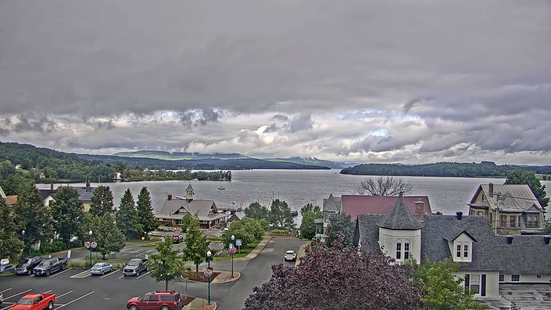
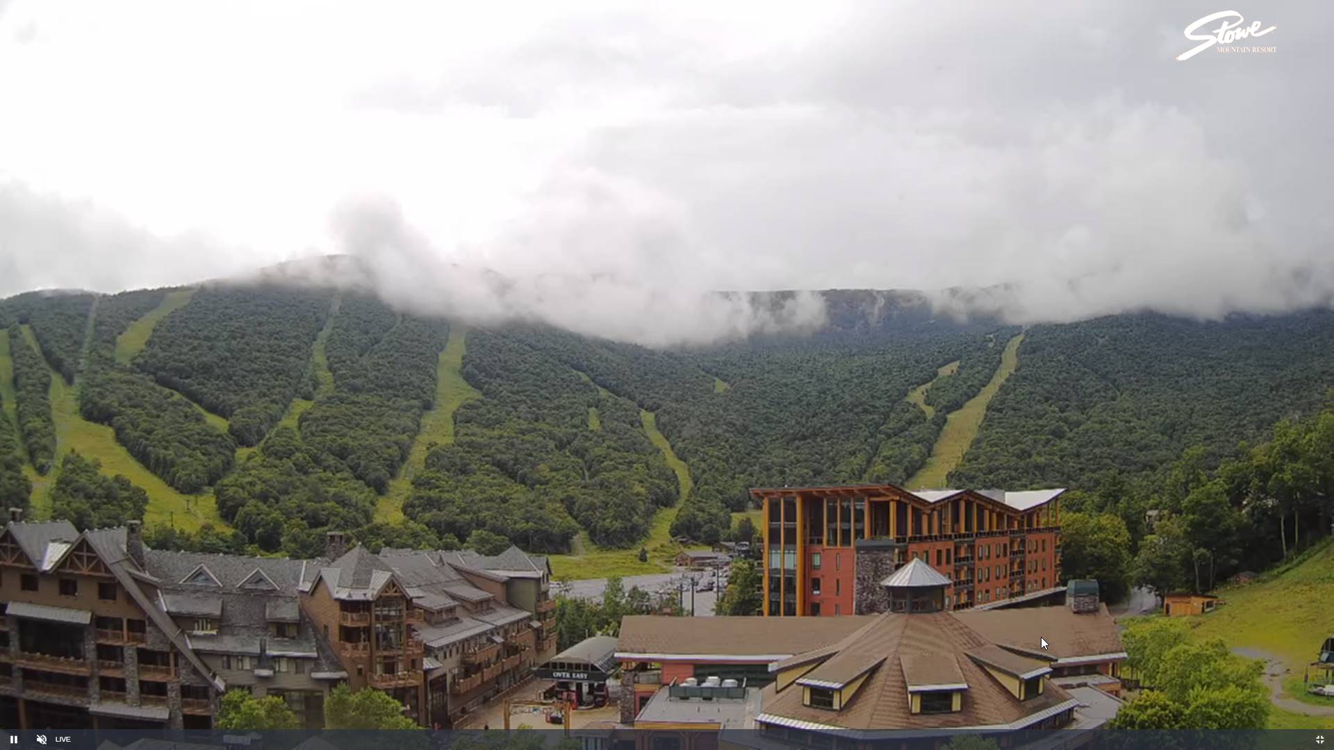
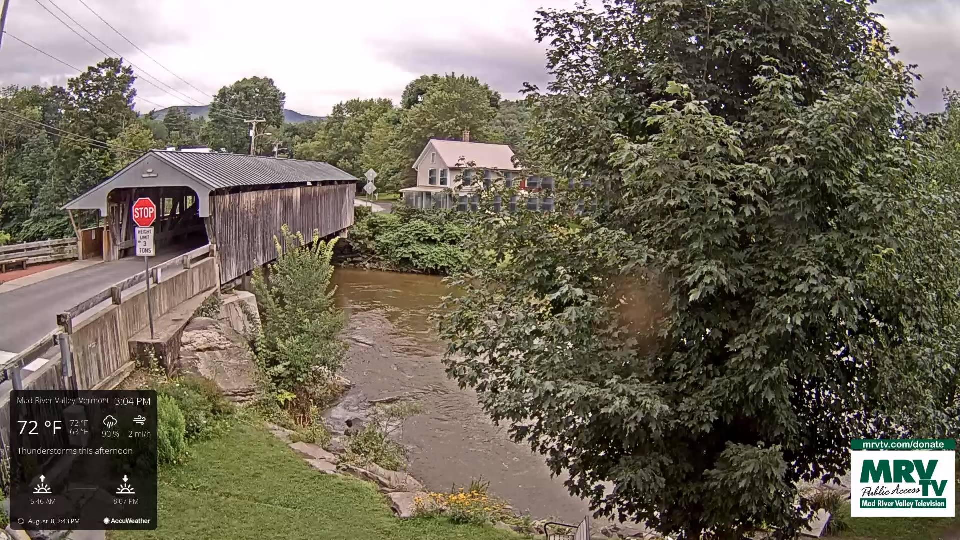
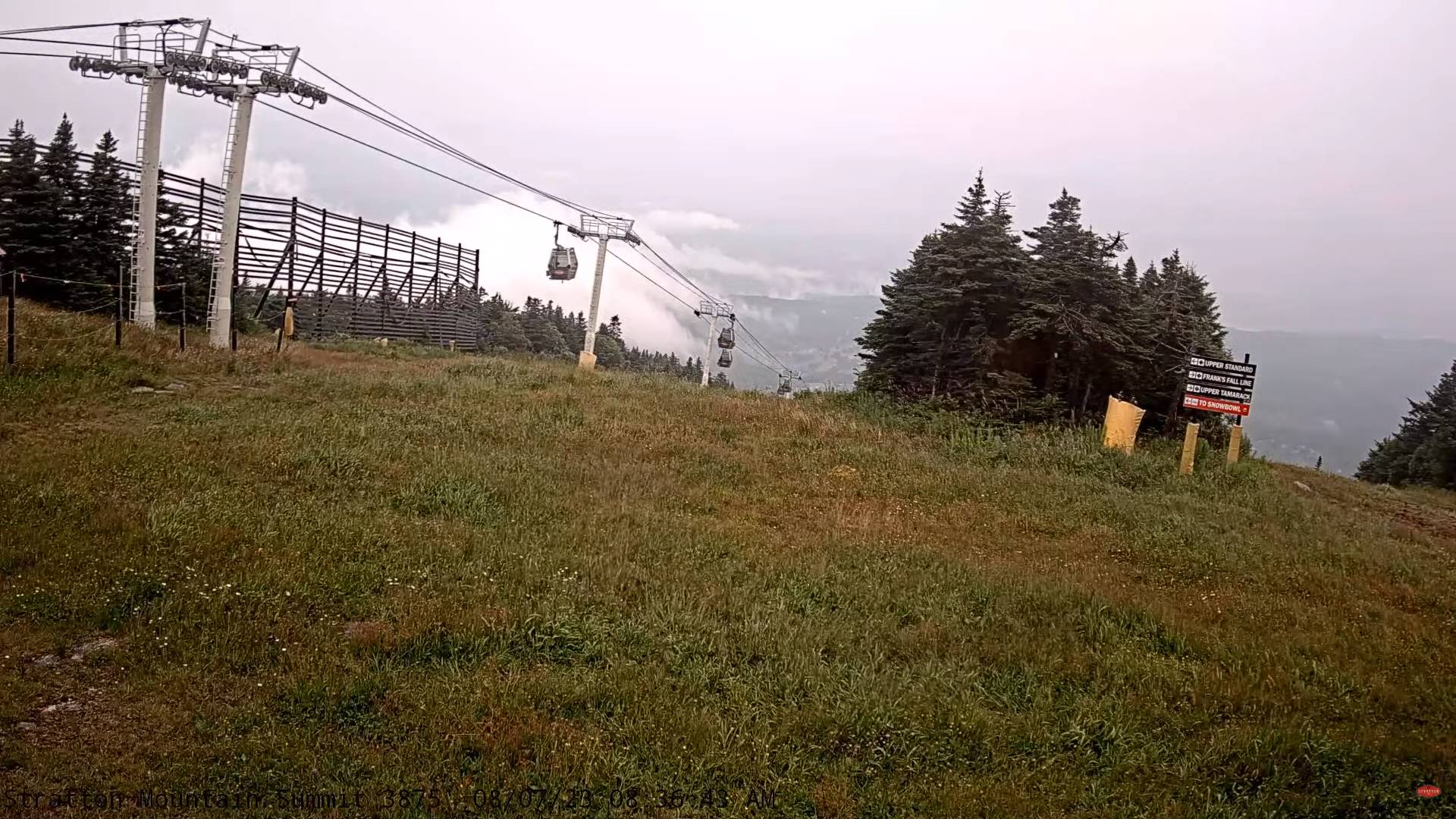
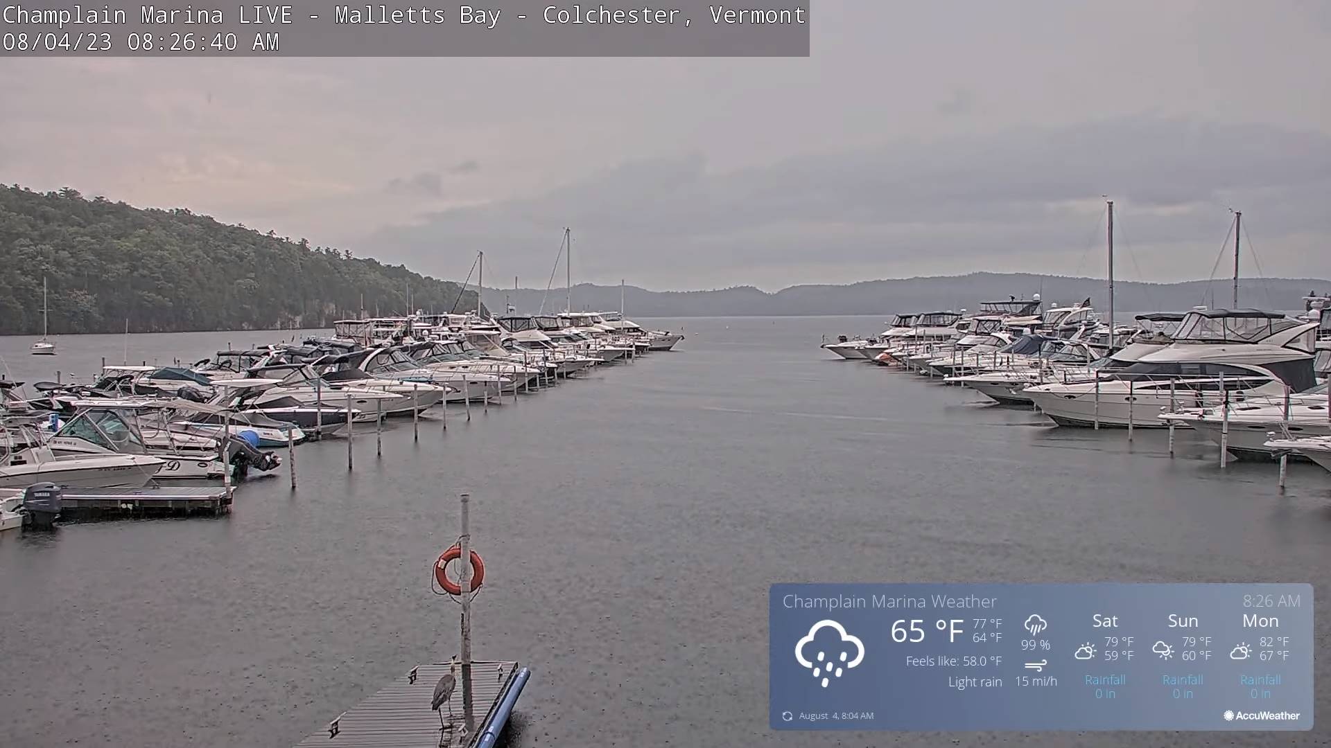
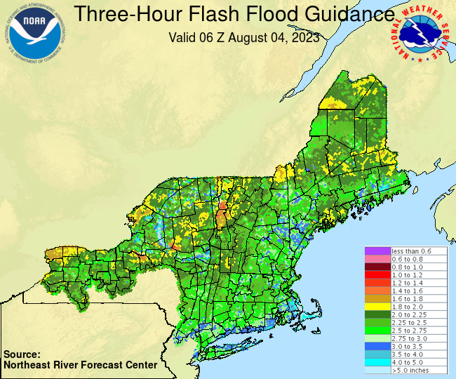
TONIGHT: Evening showers and a few thunderstorms mainly western areas…winding down…with few showers lingering near the Quebec border. Otherwise partly to mostly cloudy. A low 55 to 60. Light southwest winds shifting to westerly overnight 10 mph.
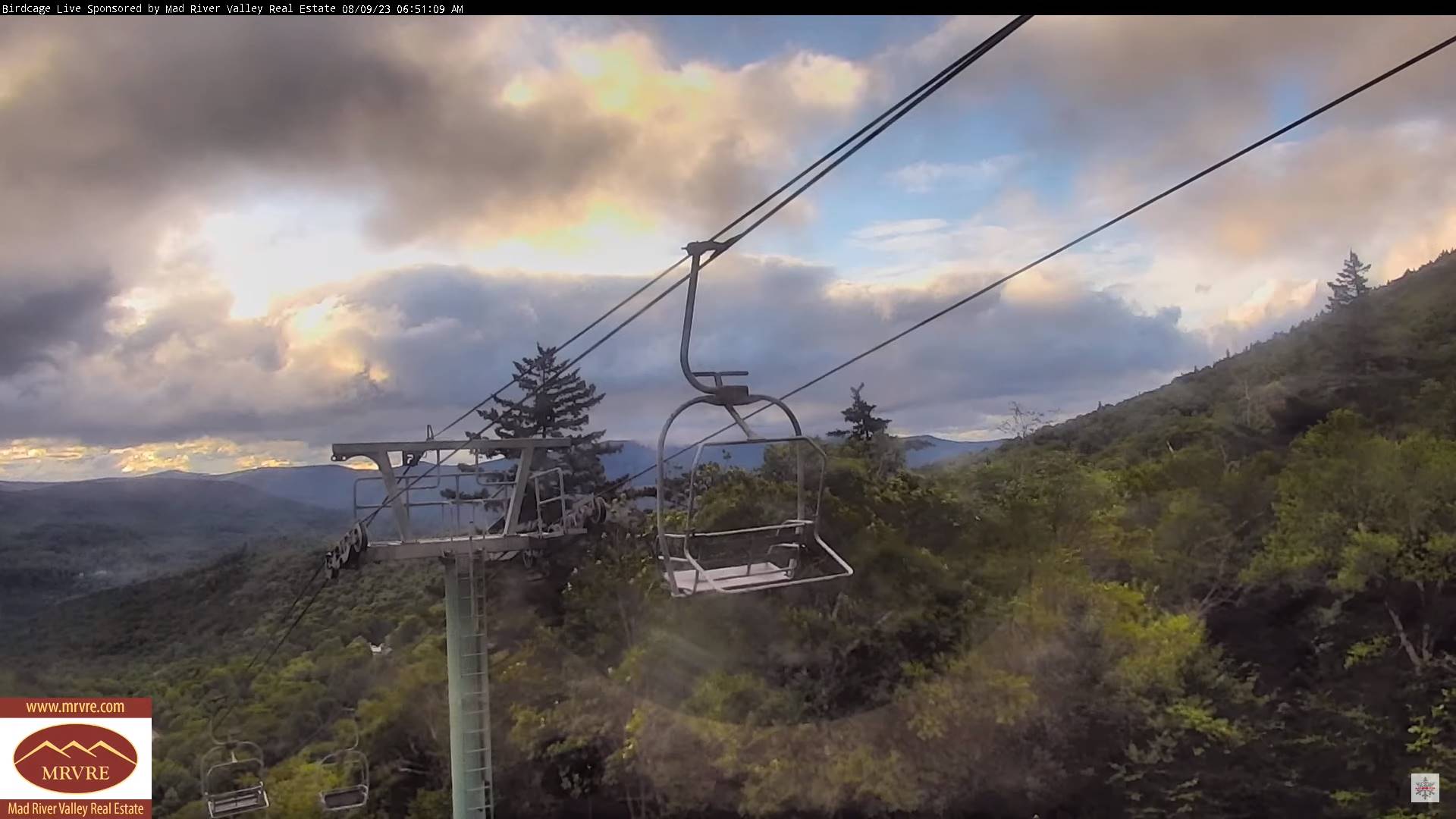
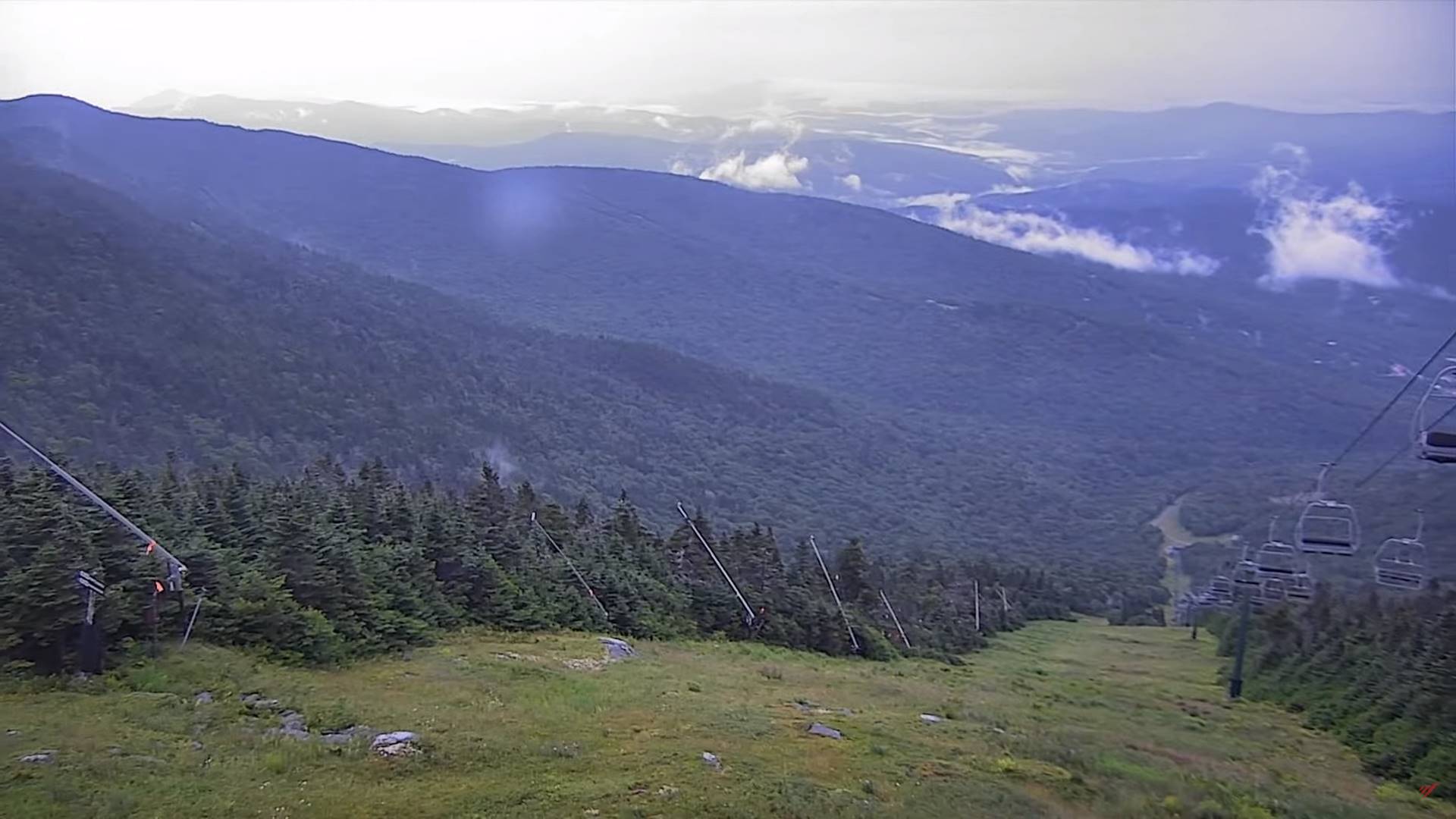
TOMORROW: Morning cloudiness with a few misty sprinkles in the higher terrain, then partly to mostly sunny in the afternoon. A little cool. A high around 70. West to northwest breeze 10 to 20 mph and gusty.
FRIDAY NIGHT: Mostly clear with high clouds. A low 50 to 55. Light southwest winds.
SATURDAY: Partly sunny, then becoming mostly cloudy. Scattered showers and thunderstorms developing late western areas. A high near 75. South breeze 10 mph, stronger Lake Champlain.
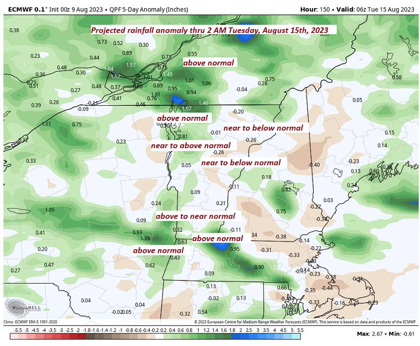
Looking further ahead
SATURDAY NIGHT: Variably cloud Scattered evening showers and thunderstorms. A low 55 to 60.
SUNDAY: Partly to mostly sunny. Widely scattered showers near the Quebec border, A high near 75.
MONDAY: Periods of sunshine mixing with more clouds later on. Cooler and less humid. A low in the mid-50s. A high near 75.
TUESDAY: Lots of clouds. Scattered showers and isolated thunderstorms. A low upper 50s, a high 70 to 75.
Average lows ranging thru the 50s. Average high mid to upper 70s.
RH/8-10 forecast][end]