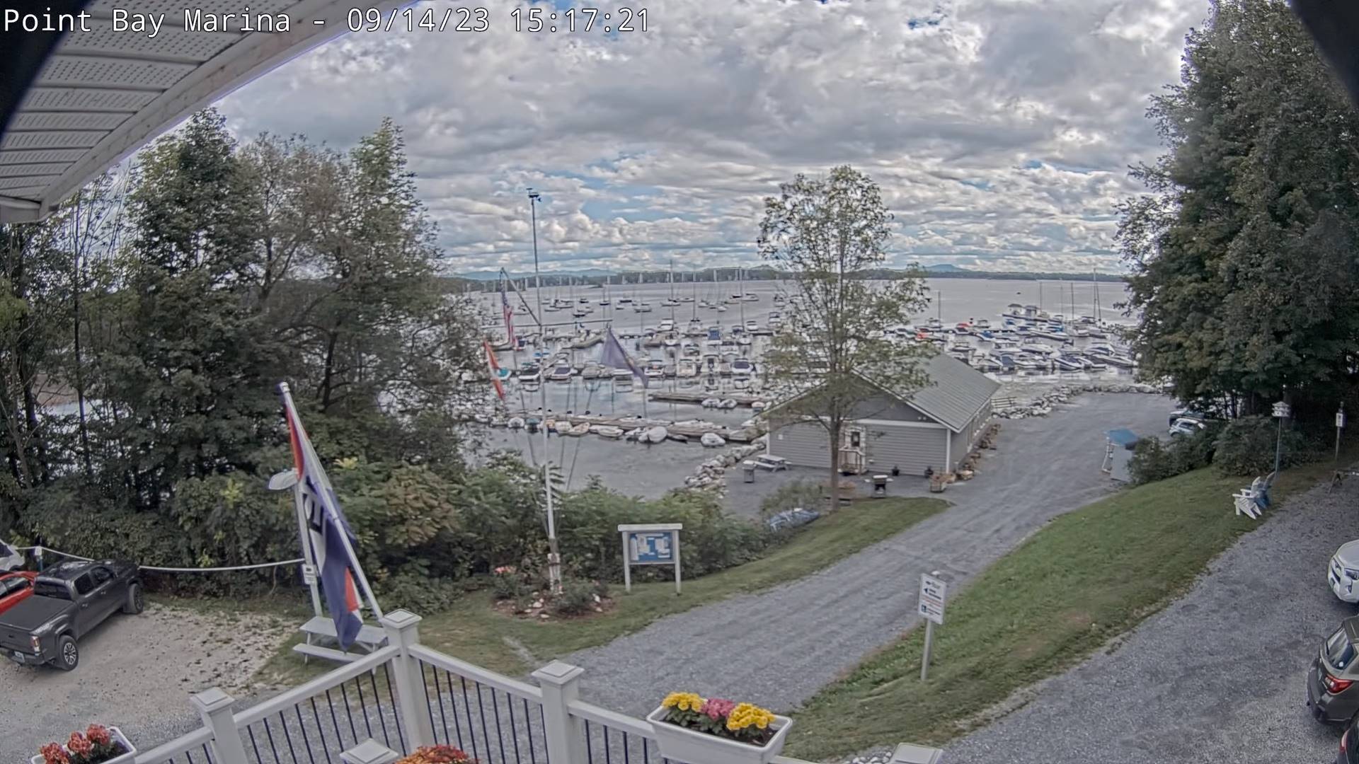
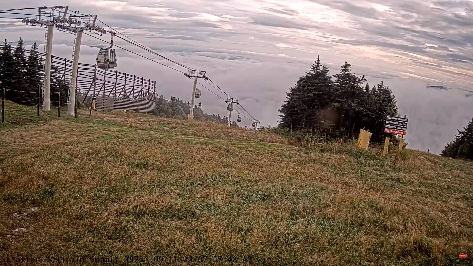
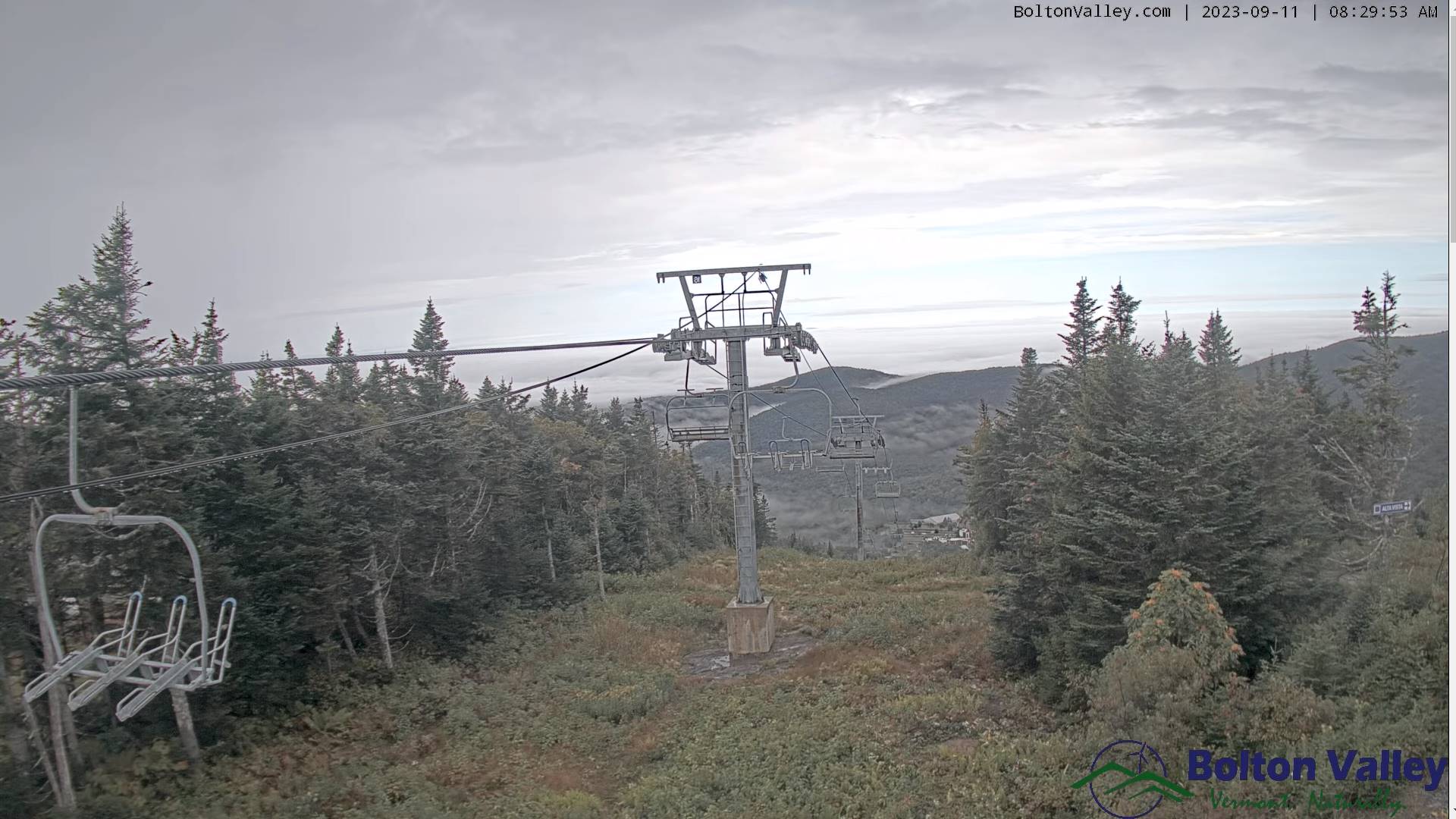
TODAY: Pick of the week. Sunshine filtered through increasing high thin cloudless. A high mid-60s. North breeze 10 mph.
TONIGHT: Fair with thickening high overcast.A low50 to 55. Light north to northwest winds increasing 10 to 15 mph overnight.
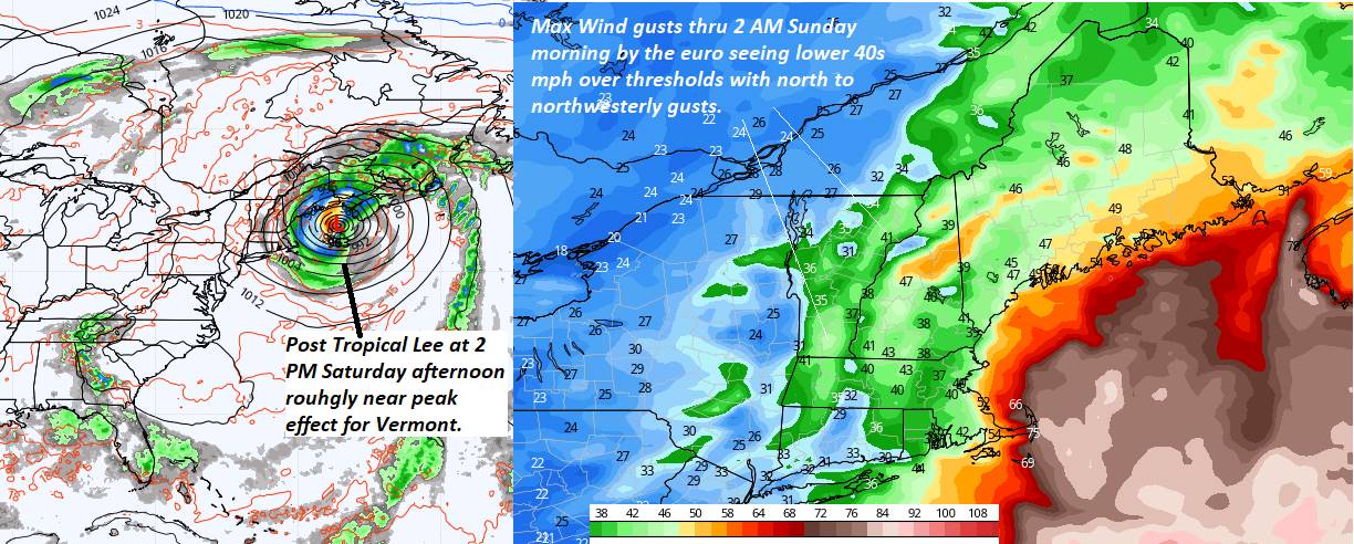
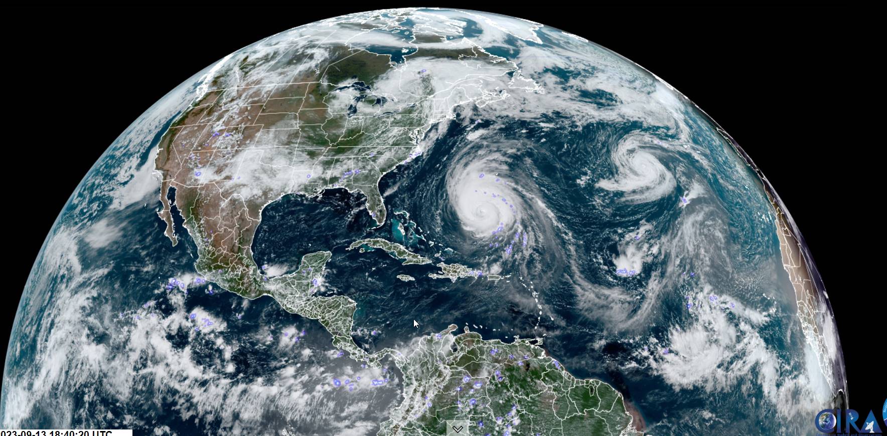
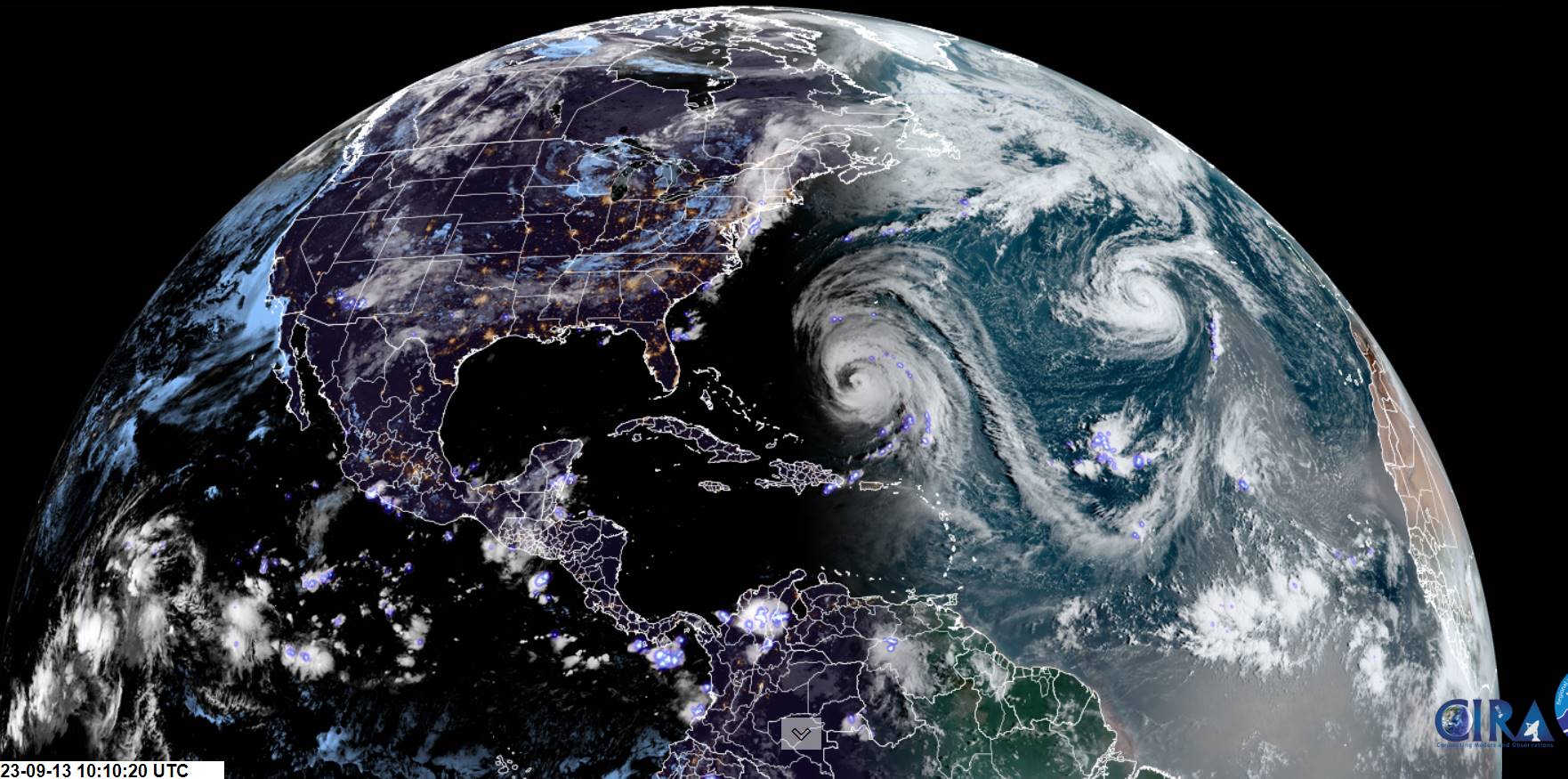
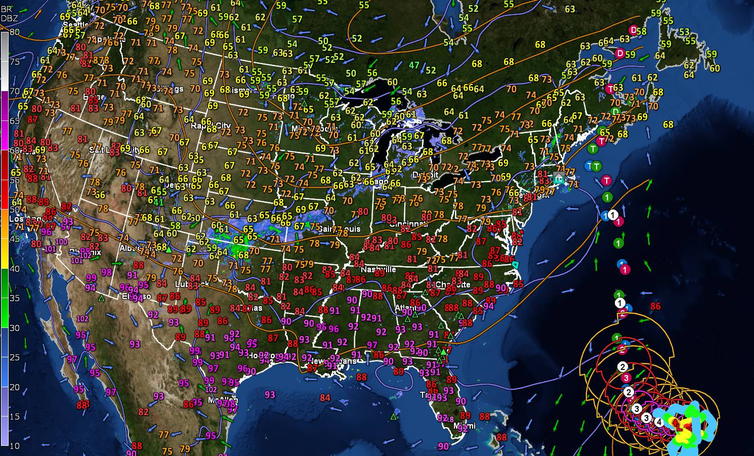
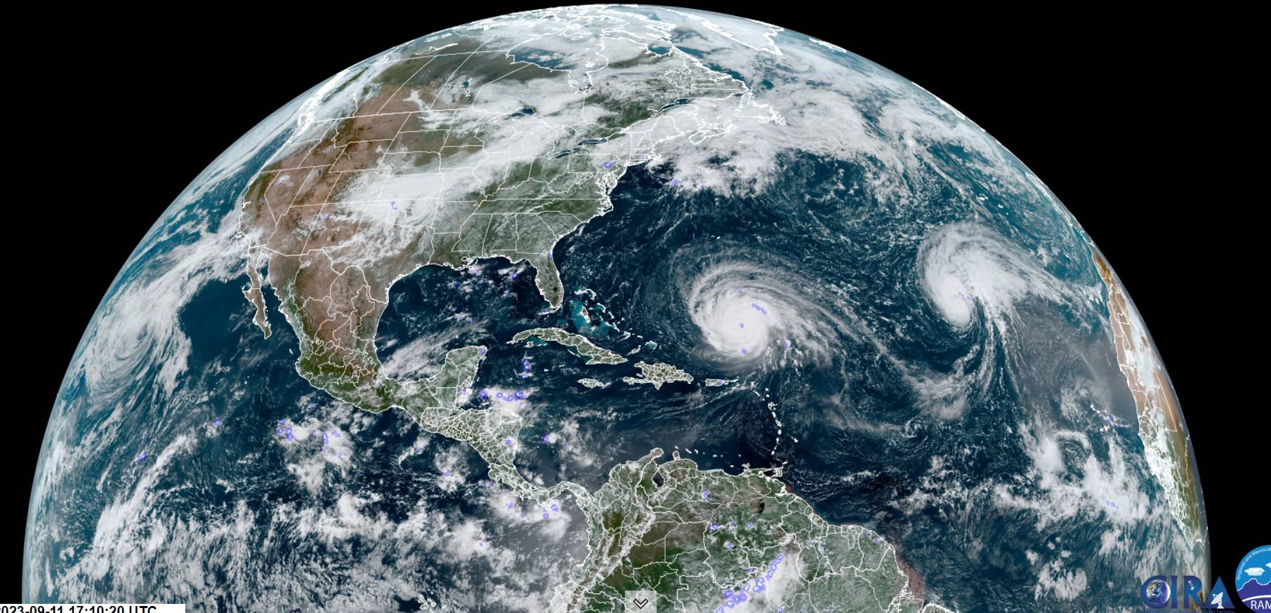
Post Tropical remnants of Lee passes well east in the Gulf of Me. Bay of Fundy…
SATURDAY: Generally gray, with some hints of sun. Breezy to windy especially east of the Green Mountains. Widely scattered showers eastern Northeast kingdom. A high low to mid 60s. Northwest winds 10 to 25 mph with locally higher gusts far eastern Vermont.

Looking further ahead
SATURDAY NIGHT: Clearing in the evening. A low upper 40s to around 50
SUNDAY: Sunshine with a few high clouds. A high around 70.

MONDAY: Clouding up leading to a chance for showers, some moderate at times. A low in the lower 50s. A high 70 to 75.
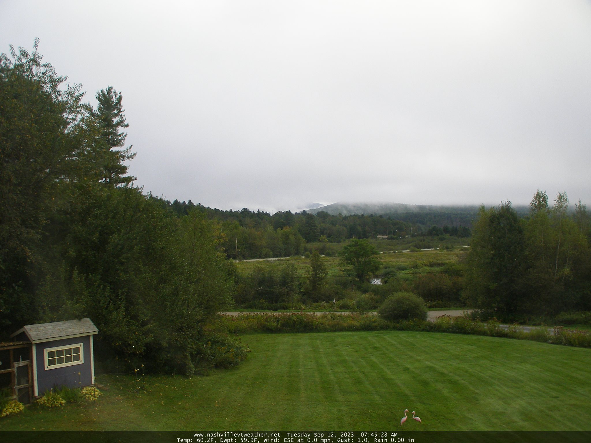
TUESDAY: Morning fog & low cloudiness, then partly to mostly sunny. A low near 50. A high in the low 60s.
WEDNESDAY: Valley fog burns off to partly cloudy. A low in the mid-40s. A high near 65.

Average lows mid-40s to around 50. Average highs upper 60s to low 70s.
RH/9-15 forecast][end]