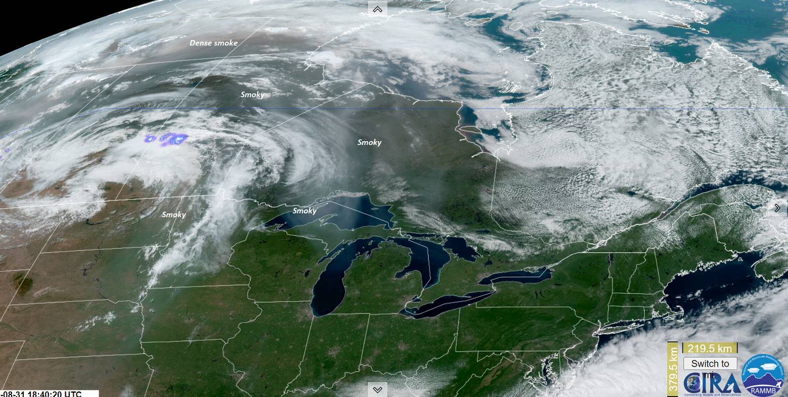
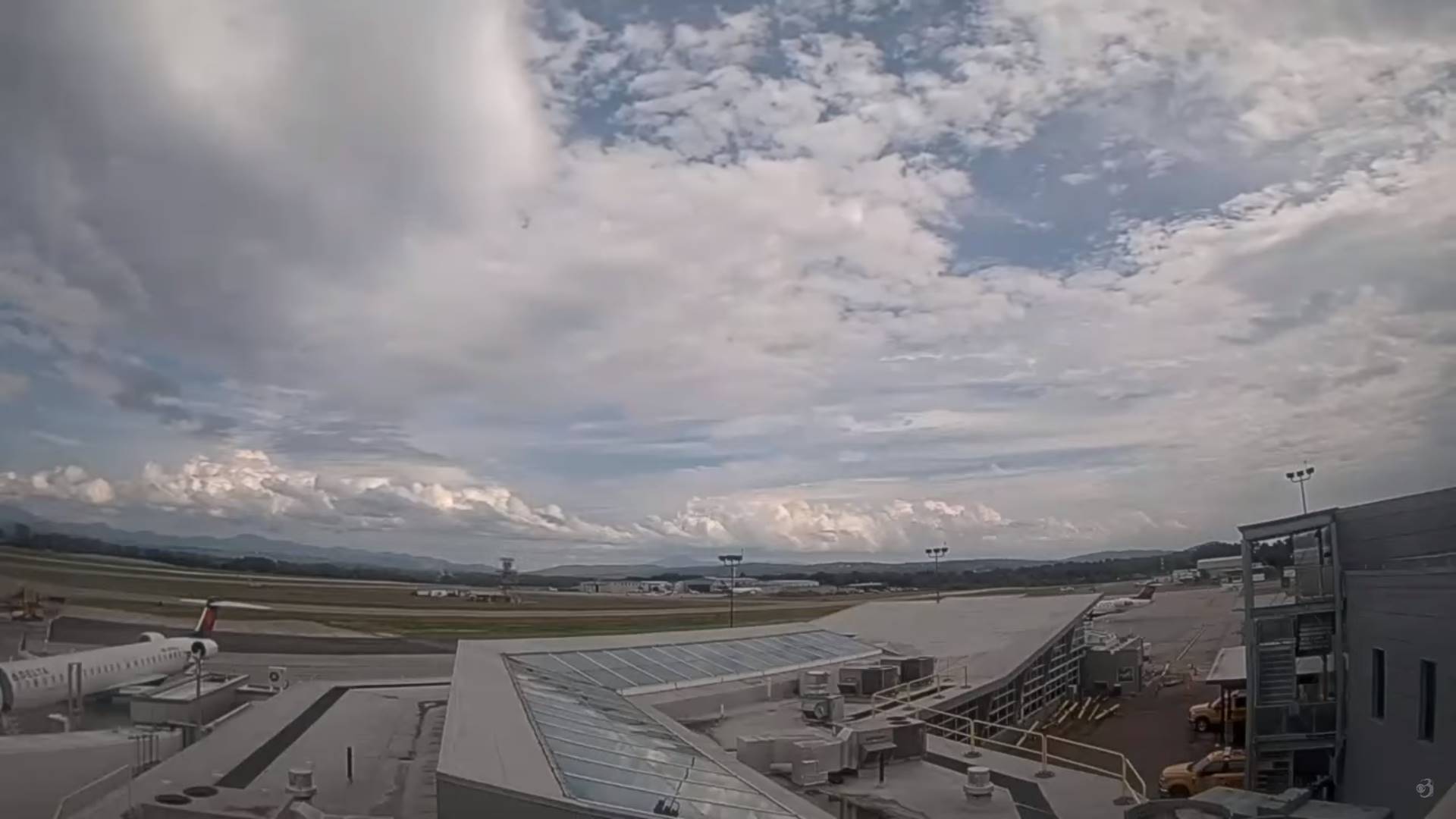
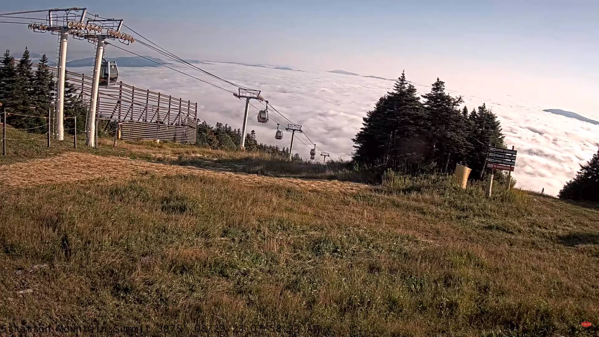
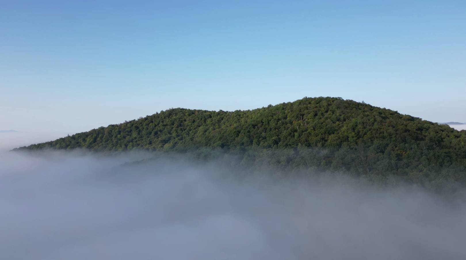
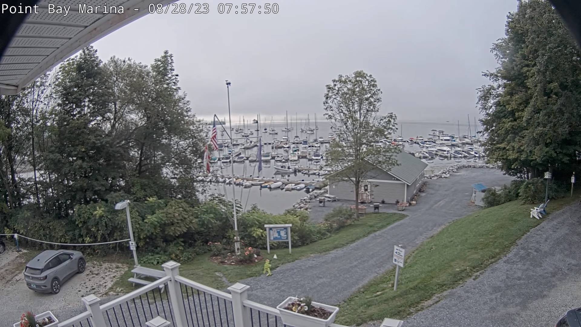
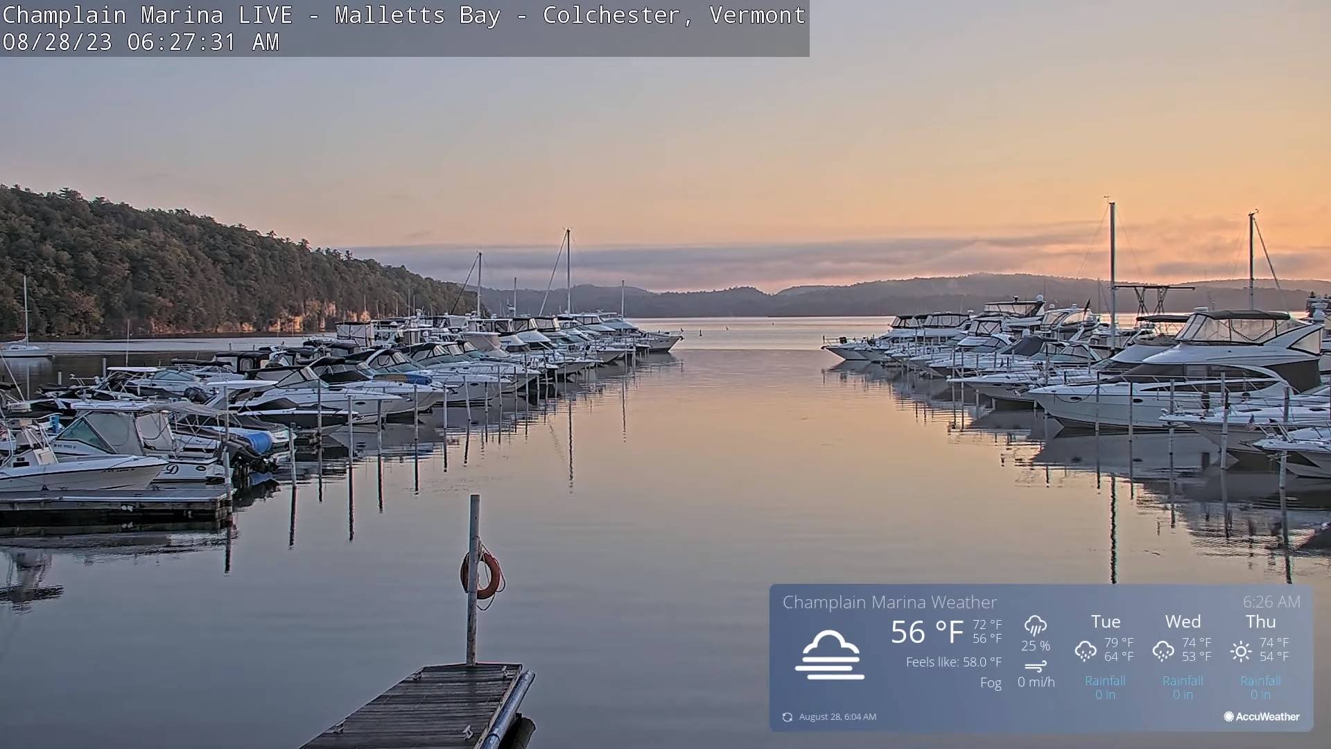
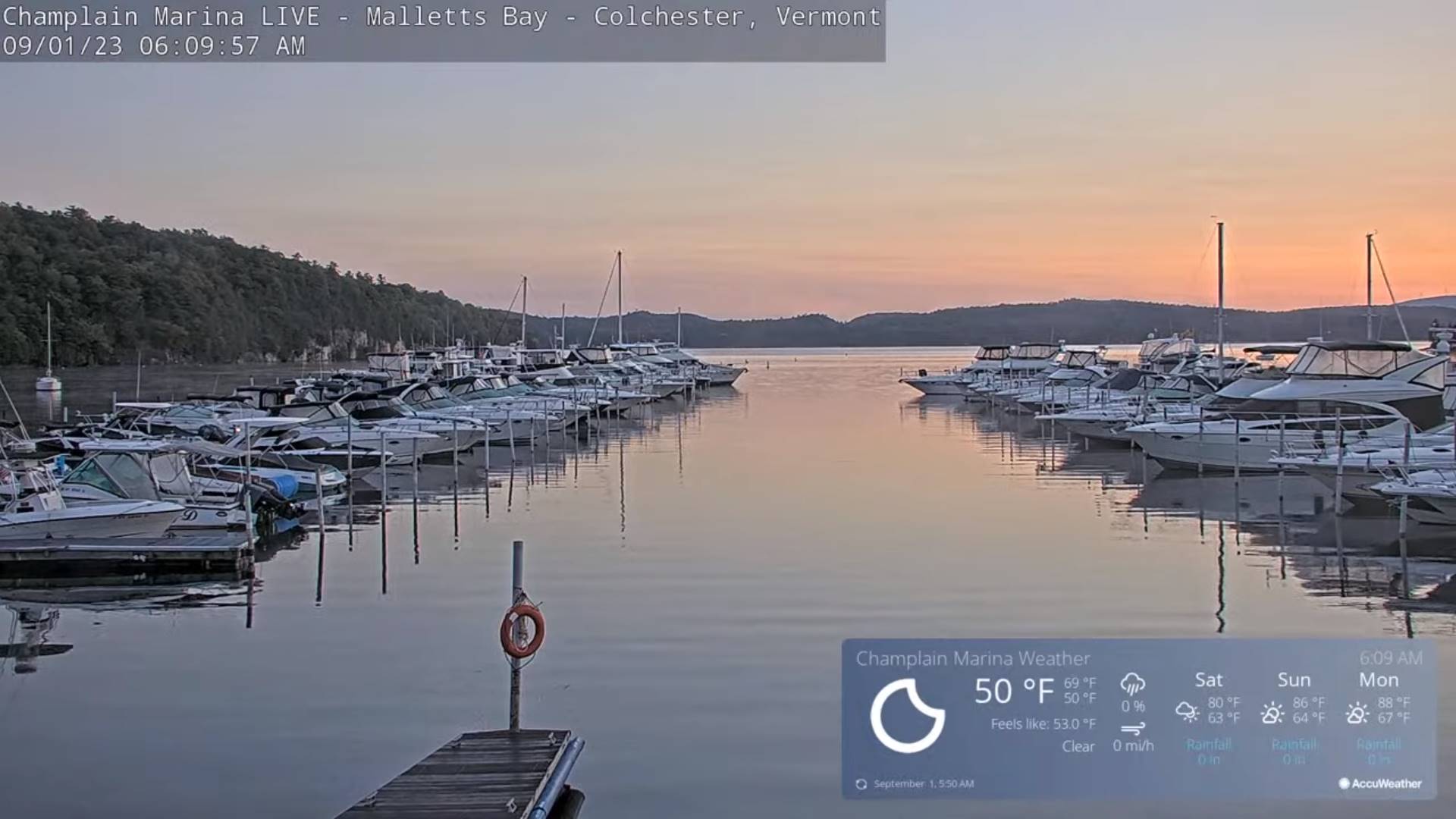
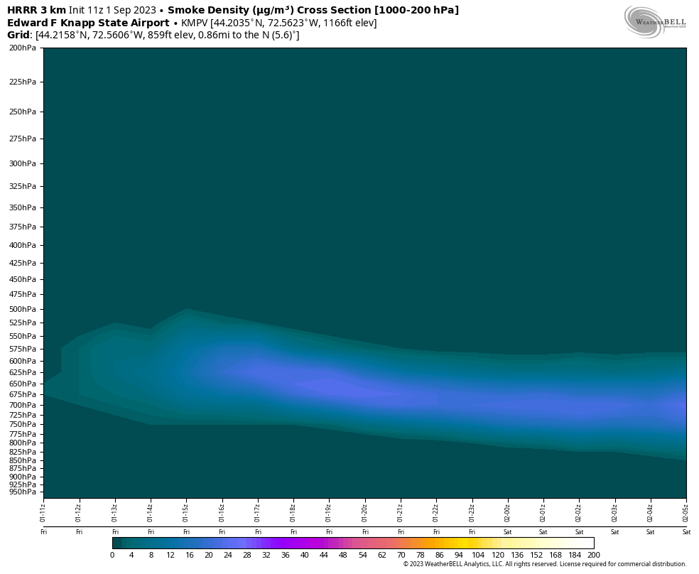
TODAY: Sunny after morning fog but increasingly hazy with wildfire smoke aloft. A high in the low 70s. Light west winds.
TONIGHT: Clear & moonlit, with a few high clouds toward morning.Isolated valley fog. A low around 50. Light south to southwest winds.
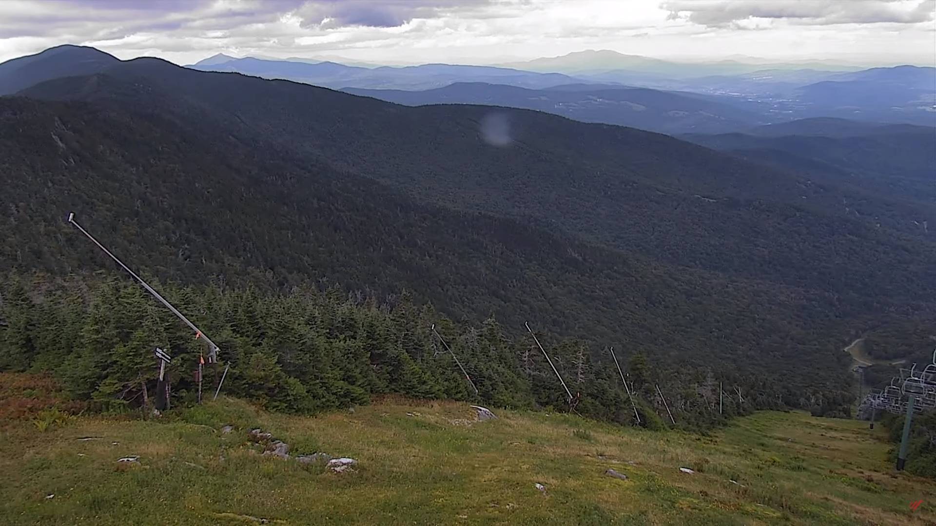
SATURDAY: Sunshine with high cloudiness, thickening up some in the afternoon. A high in the mid-70s. Southwest winds 10 mph, stronger Lake Champlain.
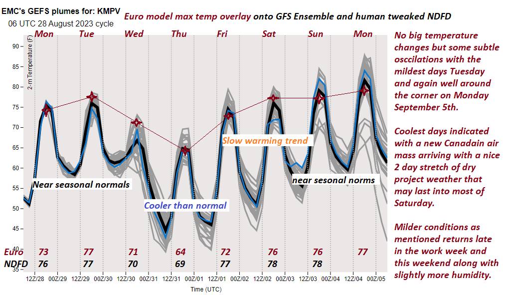
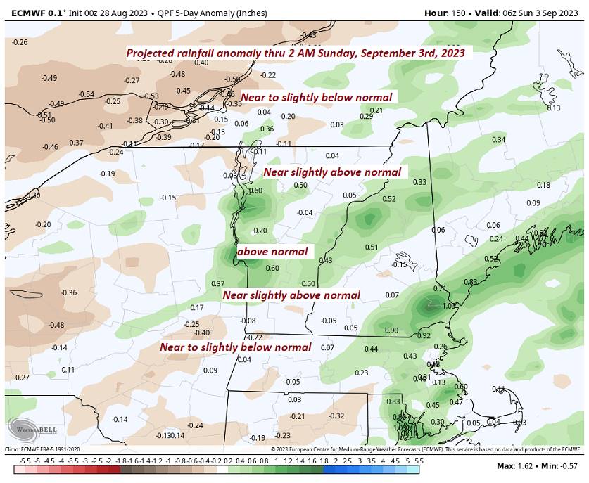
Looking further ahead
SATURDAY NIGHT: Fair early, then variable cloudiness. A low 55 to 60.
SUNDAY: Partly to mostly sunny. A high peaking in the low 80s.
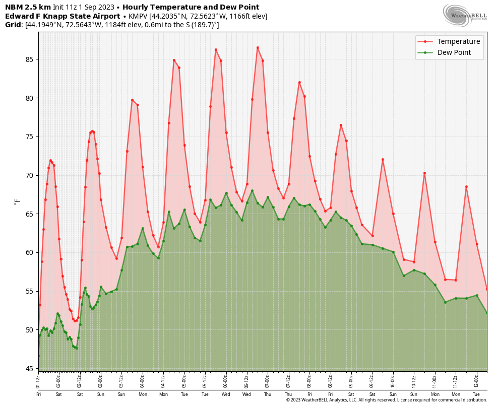
MONDAY Labor Day: Mostly sunny with some afternoon clouds. Warmer and increasingly muggy. A low near 60. A high near 85 with heat indices pushing near 90.
TUESDAY: Mostly sunny & rather sticky. A low 60 to 65. A high mid to upper 80s with heat indices pushing into the low 90s.
WEDNESDAY: Variable mainly high cloudiness. A low around 65. A high mid to upper 80s with heat indices pushing into the low 90s.
Average lows upper 40s to mid-50s. Average highs around 75.
RH/8-31 forecast][end]