
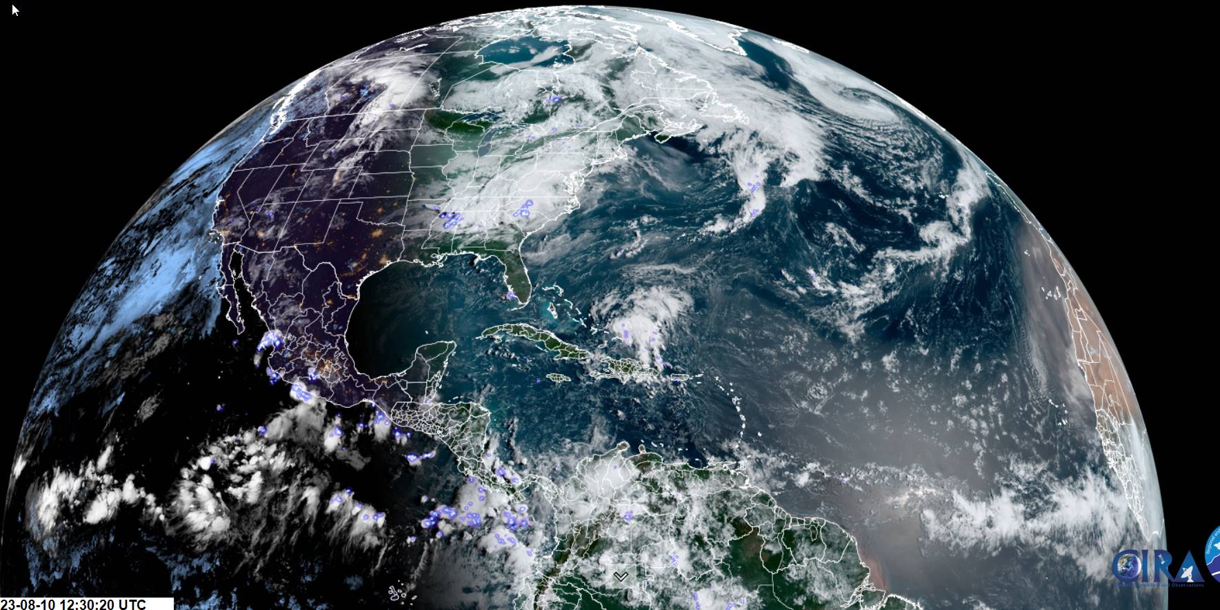
TODAY: Filtered sunshine thru early afternoon, then thickening clouds. Rising chance for showers this afternoon becoming likely late. Isolated strong thunderstorms possible northern & western areas late. A bit more muggy this afternoon. A high upper 70s to near 80. South to southwest winds 10 mph, strong near Lake Champlain.
TONIGHT: Early evening showers and isolated thunderstorms…winding down…with showers lingering near the Quebec border otherwise partly to mostly cloudy. A low 55 to 60. Light southwest winds.
FRIDAY: Morning cloudiness with a few sprinkles, then partly to mostly sunny. A little cool. A high about 70. West to northwest breeze 10 to 15 mph.
Looking further ahead
FRIDAY NIGHT: Mostly clear then high clouds overnight. A low 50 to 55.
SATURDAY: Partial morning sun, then mostly cloudy later in the afternoon. Rising chance for showers and thunderstorms developing late toward evening western areas. A high near 75.
SUNDAY: Partly to mostly sunny. Widely scattered showers near the Quebec border, maybe an afternoon rumble. A morning low 55 to 60. A high near 75.
MONDAY: Periods of sunshine mixing with more clouds later on. Cooler and less humid. A low in the mid-50s. A high near 75.
TUESDAY: Lots of clouds. Scattered showers and isolated thunderstorms. A low upper 50s, a high 70 to 75.
Average lows ranging thru the 50s. Average high mid to upper 70s.
RH/8-10 forecast][end]
