Updated Wednesday morning forecast — December 12th, 2018

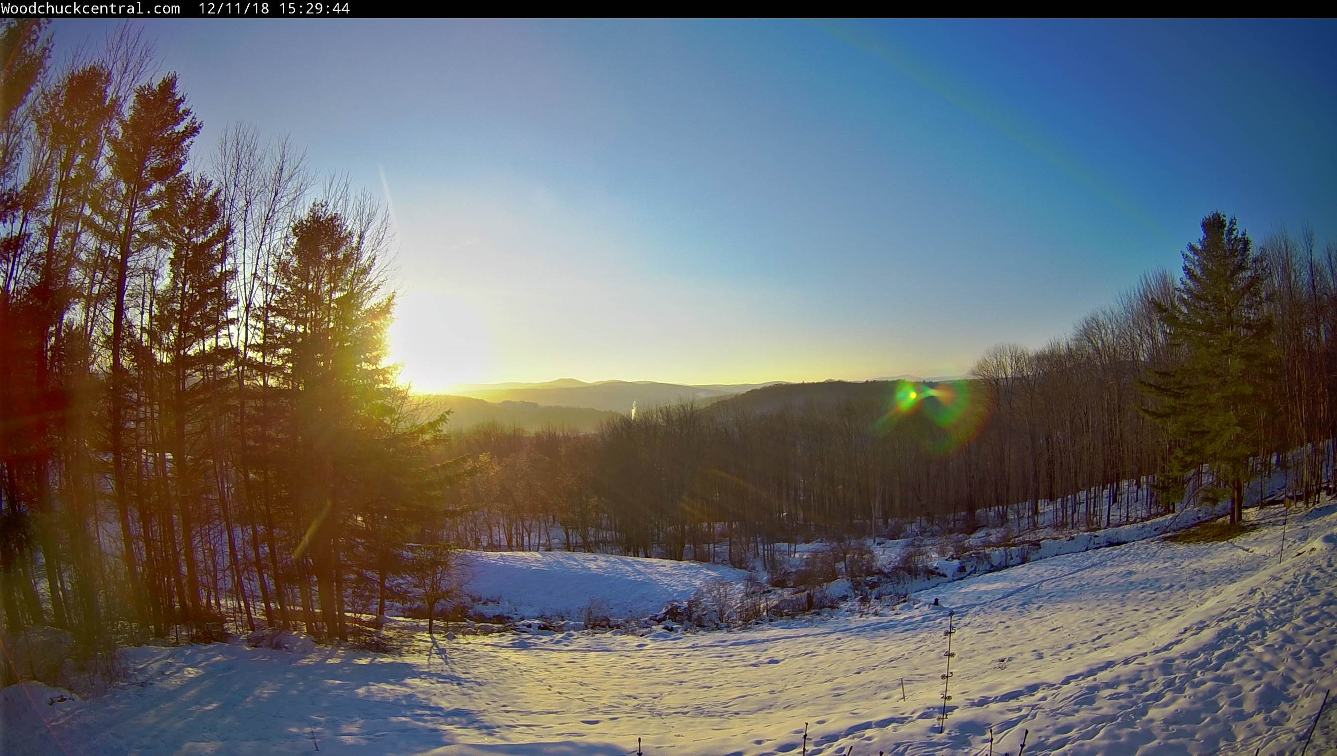
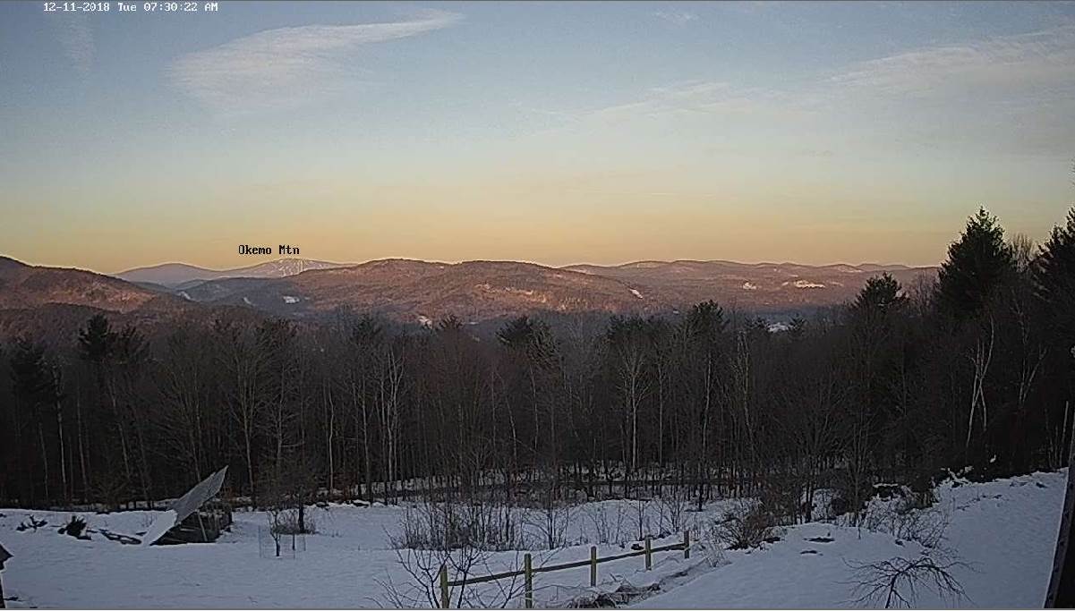
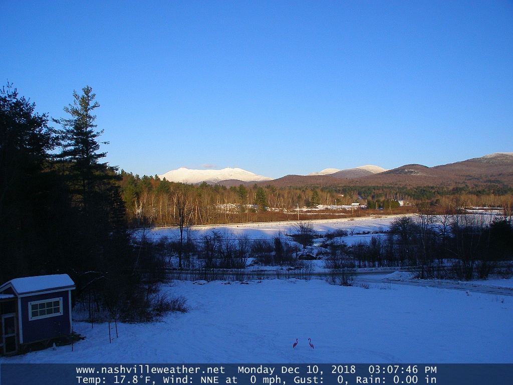
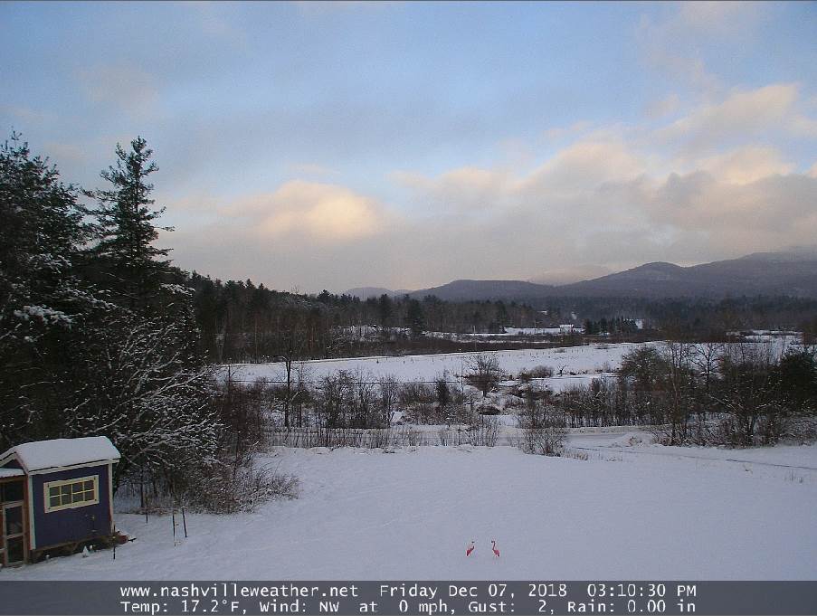
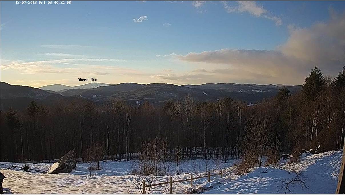
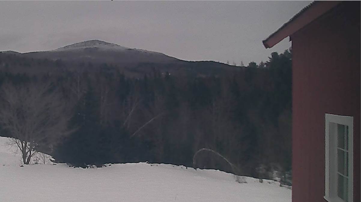
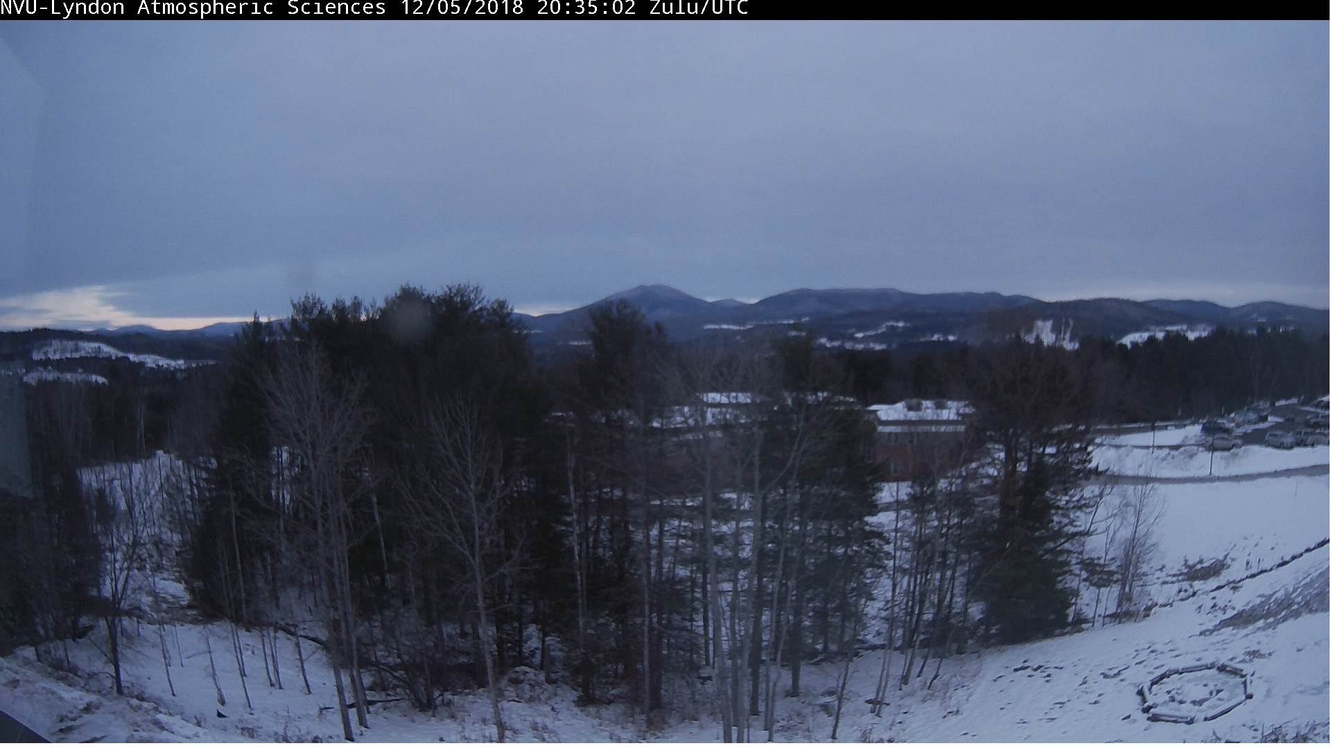
TODAY: A few stray flurries near the mountains this morning, otherwise periods of sunshine. Cold with a high upper teens to low 20s. Northwest winds 10 to 15 mph.

TONIGHT: Clear and frigid. A low ranging from zero, to 20 below cold spots. Light winds.

THURSDAY: Sunshine and blue skies after a frigid start. A high near 20. Light northwest winds.

Looking further ahead…

THURSDAY NIGHT: Mostly clear. A low in the mid teens.

FRIDAY: Partly to mostly sunny through mid afternoon, then thickening clouds. Milder. A high upper 30s to around 40.

SATURDAY: Mainly gray. Scattered light rain showers early, with possible icy slick travel. A low around 35. A high in the lower 40s.

SUNDAY: Morning clouds then partly to mostly sunny. A low in the teens. Not as warm. A high mid to upper 30s.

MONDAY: Variable high cloudiness. Otherwise lots of sunshine. A low near 10. A high near 32.

TUESDAY: Partly sunny with increasing clouds later on. A low near 20. A high around 25.

Average lows mid teens to around 20. Average highs ranging 30 to 35

RH/12-11[end]

Updated Tuesday Evening Forecast — December 11th, 2018

TONIGHT: Mostly cloudy. Flurries developing late this evening. A dusting to less than an inch especially northern areas. A low around 10. Light northwest winds.

TOMORROW: A few stray flurries near the mountains, otherwise morning clouds give way to periods of afternoon sunshine. Cold with a high 15 to 20. Northwest winds 10 to 15 mph.

WEDNESDAY NIGHT: Clear and frigid. A low ranging from zero, to 20 below cold spots. Light winds.

THURSDAY: Sunshine and blue skies after a frigid start. A high near 20. Light northwest winds.

Looking further ahead…

THURSDAY NIGHT: Mostly clear. A low in the low to mid teens.

FRIDAY: Partly to mostly sunny through midafternoon, then increasing and thickening clouds. Turning milder. A high mid 30s to around 40.

SATURDAY: Lots of clouds. Chance for light rain, or rain showers mixed with wet snow flakes in the mountains. Possible slick travel early. A leftover sprinkle or two in the afternoon. A low 32 to 35. A high around 40.

SUNDAY: Mainly cloudy. Chance for few rain showers mixed with wet snow flakes northern areas. A low around 32. A high 35 to 40 northern areas 40 to 45 across southern valleys.

Average lows mid teens to around 20. Average highs ranging 30 to 35

RH/12-11[end]

Updated Tuesday morning forecast — December 11th, 2018

TODAY: Sunshine mixed with more clouds late. A high in the low to mid 20s. Light south winds.

TONIGHT: Mostly cloudy. Flurries with a few mountain snow showers developing especially overnight. A dusting to a fluffy inch especially northern areas. A low in the lower teens. Light northwest winds.

WEDNESDAY: A few stray flurries near the mountains, otherwise morning clouds give way to periods of afternoon sunshine. Cold with a high in the mid teens. Northwest winds 10 to 15 mph.

Looking further ahead…

WEDNESDAY NIGHT: Clear and frigid. A low ranging from zero, to 20 below cold spots.

THURSDAY: Sunshine and blue skies after a frigid start. A high near 20.

FRIDAY: Partly to mostly sunny through midafternoon, then increasing and thickening clouds. Turning milder. A low 5 to 15. A high mid 30s to around 40.

SATURDAY: Lots of clouds. Chance for light rain, or rain showers mixed with wet snow flakes in the mountains. Possible slick travel early. A leftover sprinkle or two in the afternoon. A low 32 to 35. A high around 40.

SUNDAY: Mainly cloudy. Chance for few rain showers mixed with wet snow flakes northern areas. A low around 32. A high 35 to 40 northern areas 40 to 45 across southern valleys.

Average lows mid teens to around 20. Average highs ranging 30 to 35

RH/12-11[end]

Updated Monday night Forecast — December 0th, 2018

TONIGHT: Mostly clear. Cold with a low zero to 10 below. Little wind.

TOMORROW: Sunshine mixed with more clouds late. A high in the low to mid 20s. Light south winds.

TUESDAY NIGHT: Mostly cloudy. Scattered flurries with a few mountain snow showers. A dusting to an inch in spots. A low in the lower teens. Light northwest winds.

WEDNESDAY: Maybe a stray morning flurry, otherwise sunshine mixed with a few clouds. Cold with a high in the mid teens. Northwest winds 10 to 15 mph.

Looking further ahead…

WEDNESDAY NIGHT: Clear and frigid. A low 5 to 15 below.

THURSDAY: Sunshine and blue skies after a frigid start. A high near 20.

FRIDAY: Partly to mostly sunny skies giving way to thickening clouds. A low in the single digits to low teens. A high 35 to 40.

SATURDAY: Lots of clouds. Chance for snow showers possible slick travel early…changing to rain showers in the afternoon. A low 32 to 35. A high near 40.

Average lows mid teens to around 20. Average highs ranging 30 to 35

RH/12-10[end]

Updated Monday morning forecast — December 10th, 2018

TODAY: Morning clouds a couple left-over flurries, give way to periods of sunshine. Temperatures holding around 25 degrees. Northwest winds 10 to 15 mph.

TONIGHT: Mostly clear with high cloudiness overnight. Cold with a low zero to 10 below. Little wind.

TUESDAY: Sunshine with few late day clouds. A high in the low to mid 20s. Light south winds.

Looking further ahead…

TUESDAY NIGHT: Mostly cloudy. Scattered flurries few mountain snow showers…with accumulation up to an inch. A low in the single digits.

WEDNESDAY: Sunshine mixed with a few clouds. Frigid. A high in the mid teens.

THURSDAY: A few clouds early, otherwise mostly sunny. A low 10 to 15 below. A high 20 to 25.

FRIDAY: Partial morning sun then lots of clouds. A low in the teens. A high in the upper 30s to around 40.

Average lows mid teens to around 20. Average highs ranging 30 to 35

RH/12-10[end]

Updated Friday Evening Forecast — December 7th, 2018

TONIGHT: Mostly clear with a couple stray flurries. A low ranging zero to 10 below…possibly colder Northeast Kingdom. Light northwest winds.

TOMORROW: Lots of sunshine with more clouds arriving late.A high in the mid to upper teens. Light northwest winds.

SATURDAY NIGHT: Partly to mostly cloudy with scattered flurries. A low zero to 10 above. Light west winds.

SUNDAY: Any morning clouds give way to mostly sunny skies. A high 25 to 30. Southwest winds 10 to 15 mph.

Looking further ahead…

SUNDAY NIGHT: Mostly clear except a few clouds with stray flurries far northern areas. A low in the teens.

MONDAY: Chance for flurries, otherwise mixed sun and clouds. Blustery. A high in the low 20s.

TUESDAY: Sunny but frigid. A low zero to 10 below. A high around 15.

WEDNESDAY: Sunny. Frigid. A low 5 to 15 below. A high in the mid to upper teens.

THURSDAY: Sunshine giving way to high cloudiness. A warming trend. A low in the single digits above zero. A high around 30.

Average lows upper teens to mid 20s. Average highs ranging through the 30s.

RH/12-7[end]

Updated Friday Morning Forecast — December 7th, 2018

TODAY: Scattered leftover flurries exiting. Otherwise mixed clouds and increasing sunshine, but blustery & colder. Temperatures falling through the teens in the afternoon. Northwest winds 10 to 20 mph.

TONIGHT: A few clouds but mostly clear, maybe a stray flurry. A low ranging zero to minus 15…coldest Northeast Kingdom. Light northwest winds.

SATURDAY: Lots of sunshine with more clouds arriving late.A high in the mid teens. Light west winds.

Looking further ahead…

SATURDAY NIGHT: Partly to mostly cloudy. Chance for a few flurries toward Rutland. A low zero to 10 above.

SUNDAY: Any morning clouds give way to mostly sunny skies. A high 25 to 30.

MONDAY: Maybe a stray flurry early, then partly sunny. A low in the teens. A high 20 to 25.

TUESDAY: Sunny but frigid. A low zero to 10 below. A high in the teens.

WEDNESDAY: Sunny. Frigid. A low 5 to 15 below. A high in the teens.

THURSDAY: Mostly sunny. A low in the single digits. A high 25 to 30.

Average lows upper teens to mid 20s. Average highs ranging through the 30s.

RH/12-7[end]

Updated Thursday evening forecast — December 6th 2018

TONIGHT: Lots of clouds. Mountain snow showers and valley flurries. Accumulation dusting to a couple of inches especially near the Green Mountains. A low near 20. Southwest winds 10 mph.

TOMORROW: Morning snow showers and flurries exiting. Minor accumulation. Otherwise clouds giving way to increasing afternoon sunshine, but blustery & colder. Temperatures falling through the teens in the afternoon. Northwest winds 10 to 20 mph.

FRIDAY NIGHT: A few clouds but mostly clear, maybe a stray flurry. A low zero to 10 below coldest Northeast Kingdom. Light northwest winds.

SATURDAY: Lots of sunshine with more clouds arriving late.A high in the mid to upper teens. Light west winds.

Looking further ahead…

SATURDAY NIGHT: Partly to mostly cloudy. Chance for a few flurries toward Rutland. A low 5 below to 5 above.

SUNDAY: Any morning clouds give way to mostly sunny skies. A high pushing toward 25 degrees.

MONDAY: Maybe a stray flurry early, then partly sunny. A low zero to 10 above. A high in the 20s.

TUESDAY: Sunny but frigid. A low 10 below to 5 above. A high in the teens.

WEDNESDAY: Sunny. A low 5 to 15 below. A high in the teens.

Average lows upper teens to mid 20s. Average highs ranging through the 30s.

RH/12-6[end]

Updated Thursday morning forecast — December 6th, 2018

TODAY: Periods of morning sun then mainly cloudy. An occasional flurry or mountain snow shower. Accumulation of up to an inch in spots. A high near 30. Southwest winds 10 to 15 mph.

TONIGHT: Lots of clouds. Mountain snow showers and valley flurries. Accumulation dusting to an inch. A low near 20. Southwest winds 10 mph.

FRIDAY: Morning snow showers and flurries exiting. Minor accumulation. Otherwise clouds giving way to increasing afternoon sunshine, but blustery & colder. Temperatures holding 20 to 25. Northwest winds 10 to 20 mph.

Looking further ahead…

FRIDAY NIGHT: Scattered clouds, maybe a stray flurry. A low close to zero degrees.

SATURDAY: Lots of sunshine with more clouds arriving late.A high in the mid to upper teens.

SUNDAY: Scattered flurries exiting early, then becoming partly to mostly sunny. A low zero to 5 above. A high in the upper teens to mid 20s.

MONDAY: Maybe a stray flurry early, then partly sunny. A low zero to 10 above. A high in the 20s.

TUESDAY: Sunny but frigid. A low 10 below to 5 above. A high in the teens.

WEDNESDAY: Sunny. A low 5 to 15 below. A high in the teens.

Average lows upper teens to mid 20s. Average highs ranging through the 30s.

RH/12-6[end]

Updated Wednesday Evening Forecast — December 5th, 2018

TONIGHT: Mostly cloudy. Chance for a flurries northern areas with minor fluffy accumulation. A low in the low to mid teens. Light southwest winds.

TOMORROW: Mainly cloudy. An occasional flurry or mountain snow shower. Minor accumulation. A high near 30. Southwest winds 10 to 15 mph.

THURSDAY NIGHT: Lots of clouds. Mountain snow showers and valley flurries. Accumulation dusting to an inch. A low near 20. Southwest winds 10 mph.

FRIDAY: Morning snow showers and flurries exiting. Minor accumulation. Otherwise mostly cloudy and blustery. A high around 25. Northwest winds 10 to 20 mph.

Looking further ahead…

FRIDAY NIGHT: Partly cloudy. A low close to zero degrees.

SATURDAY: Partly sunny.A high in the mid to upper teens.

SUNDAY: Morning clouds with scattered flurries, then becoming mostly sunny. A low around zero. A high in the mid teens.

MONDAY: Partly to mostly sunny. A low zero to 10 above. A high pushing toward 30 degrees.

TUESDAY: Sunny. A low in the low to mid teens. A high in the upper teens to around 20.

Average lows upper teens to mid 20s. Average highs ranging through the 30s.

RH/12-5[end]