Updated Thursday morning Forecast — February 28th, 2019

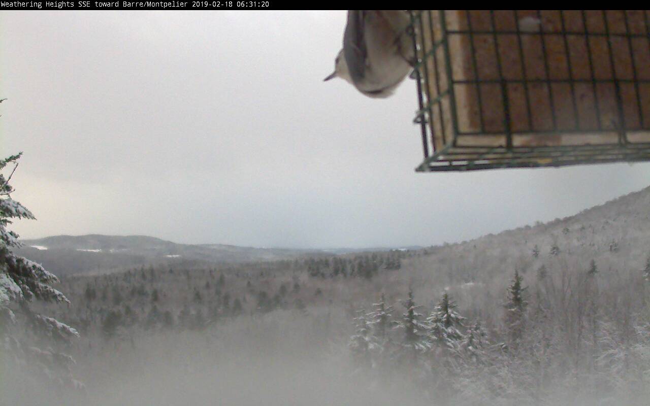
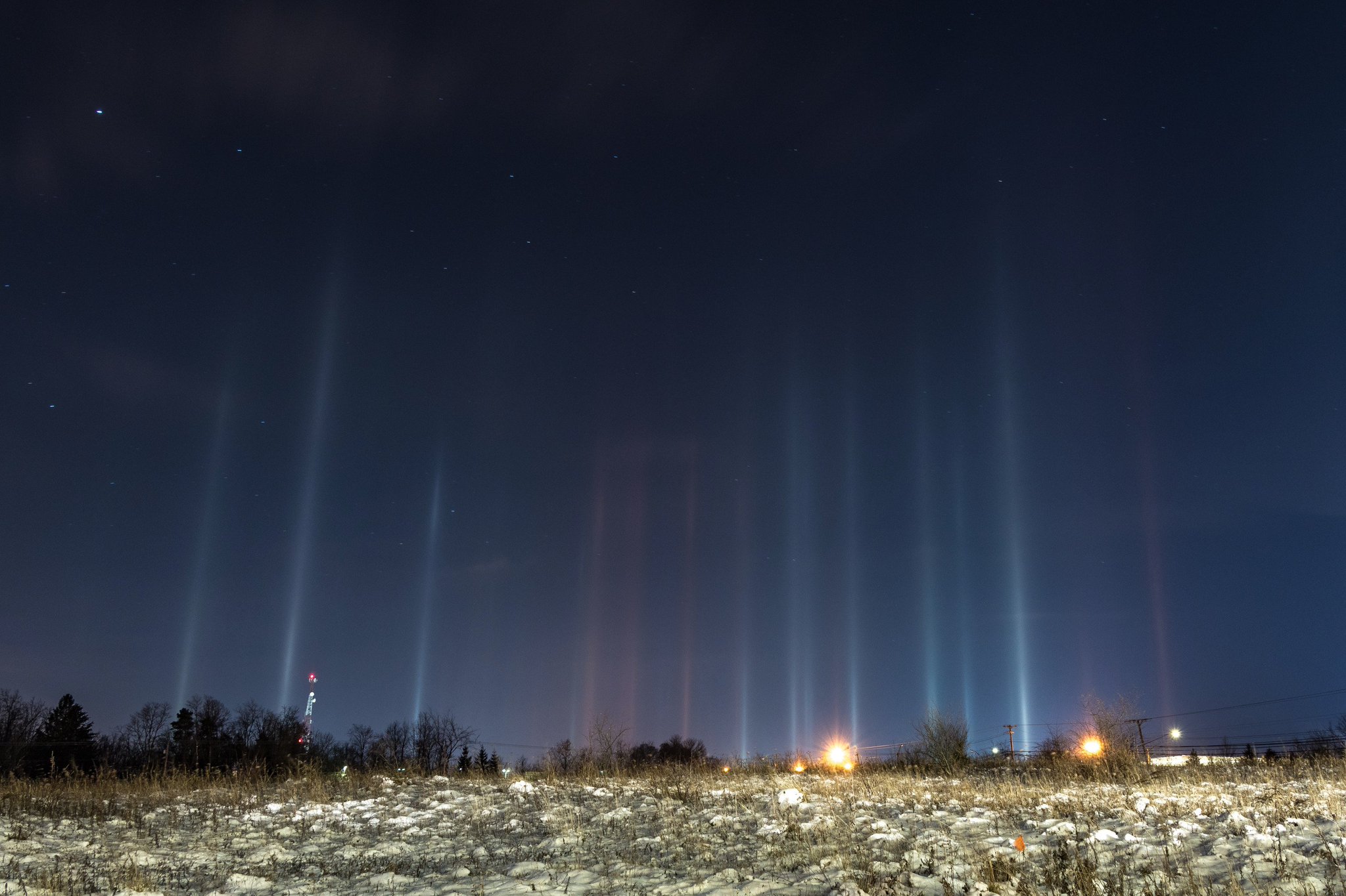
Above showing Pillars a phenomena that occurs in the calm arctic cold air where diamond dust ice crystals refract the light like a prism and “all light” point straight up. This took place in the pre-dawn hour this morning.

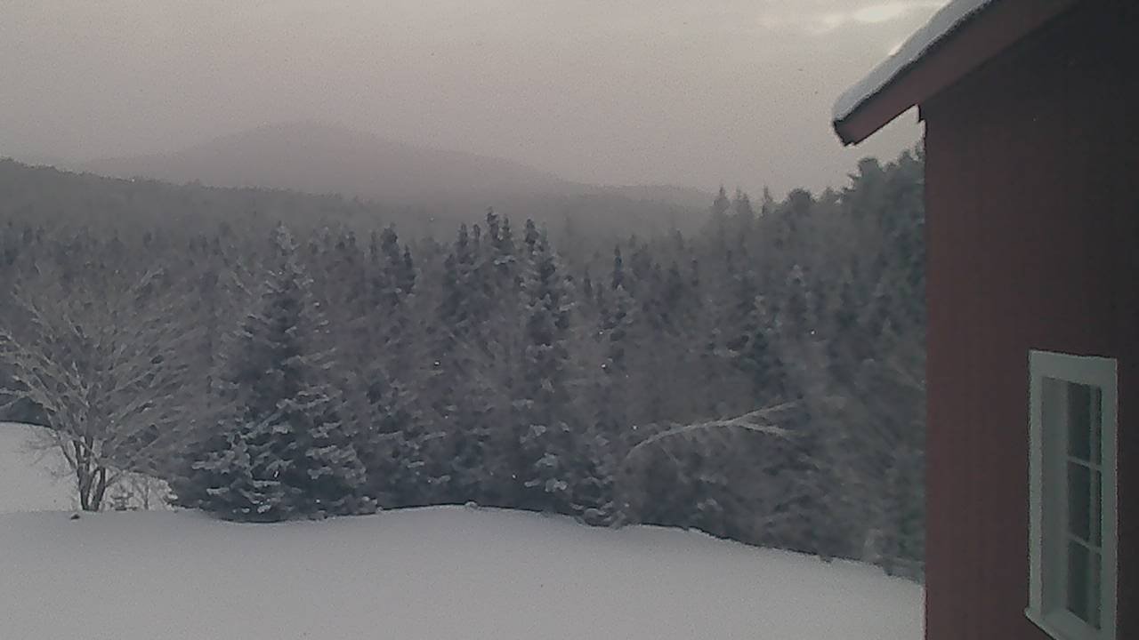
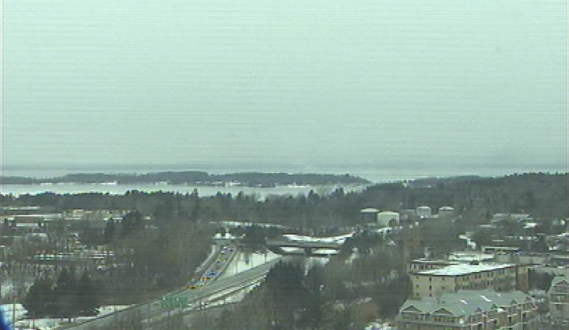
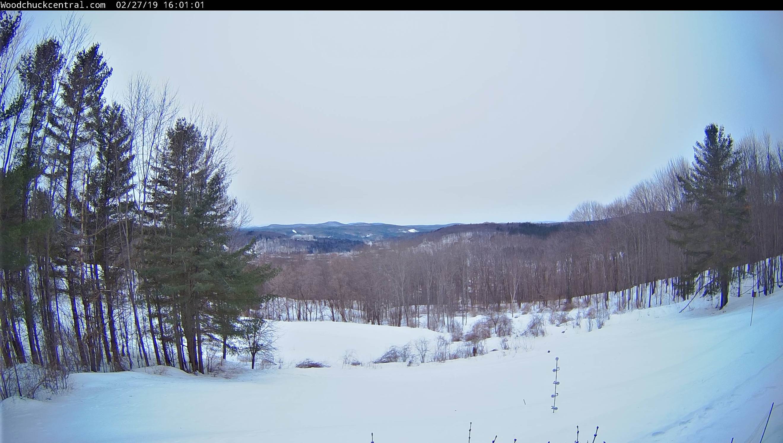
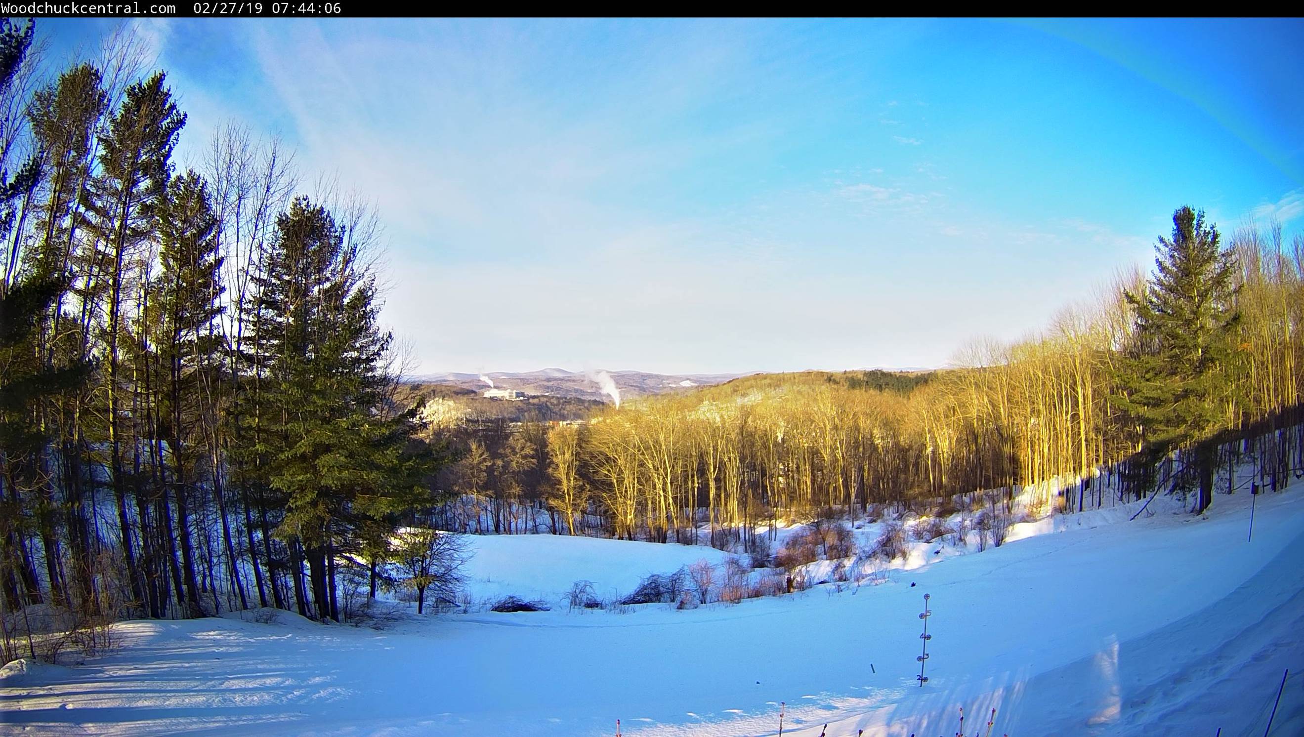
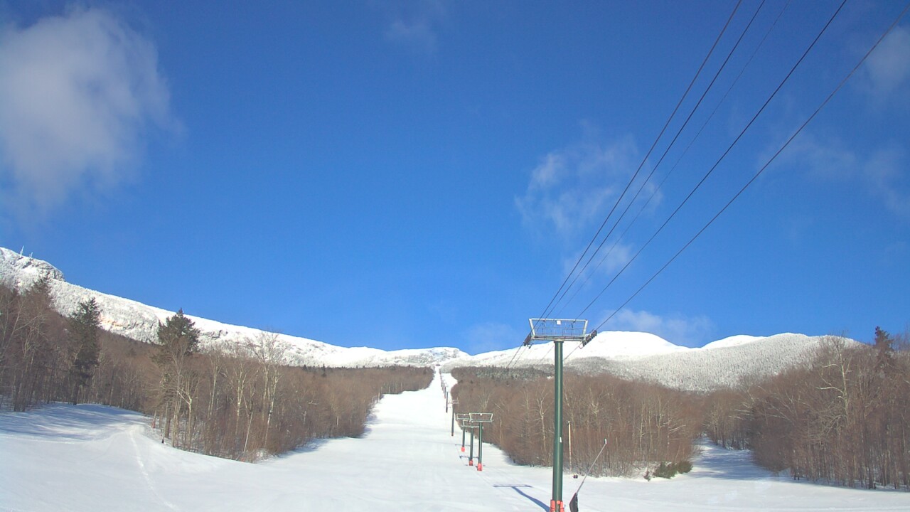
TODAY: Diamond dust flurries exiting to lots of sunshine. A high mid teens to near 20. Northwest winds 10 mph.

TONIGHT: Partly cloudy or mostly clear. A low 5 below to 5 above. Little wind.

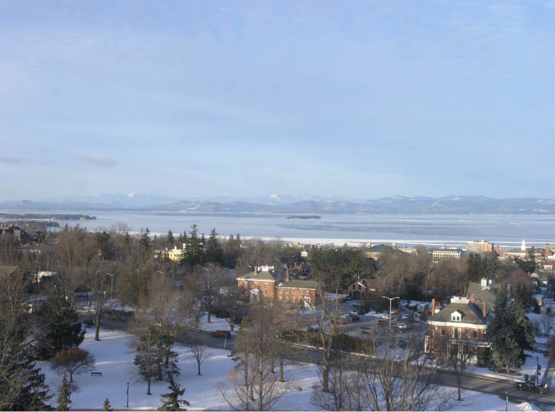
FRIDAY: Bright sunshine with a few high clouds. A high in the mid 20s to low 30s. Light southwest winds.

Looking further ahead…

FRIDAY NIGHT: Clear and cold with a few high clouds. A low in the single digits.

SATURDAY: Partial morning sunshine then cloudy periods in the afternoon. Scattered light snow showers or flurries toward southern areas. A high in the upper 20s to mid 30s.

SUNDAY: Sunshine mixed with clouds. A low 15 to 20. A high 32 to 35.

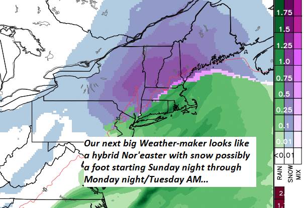
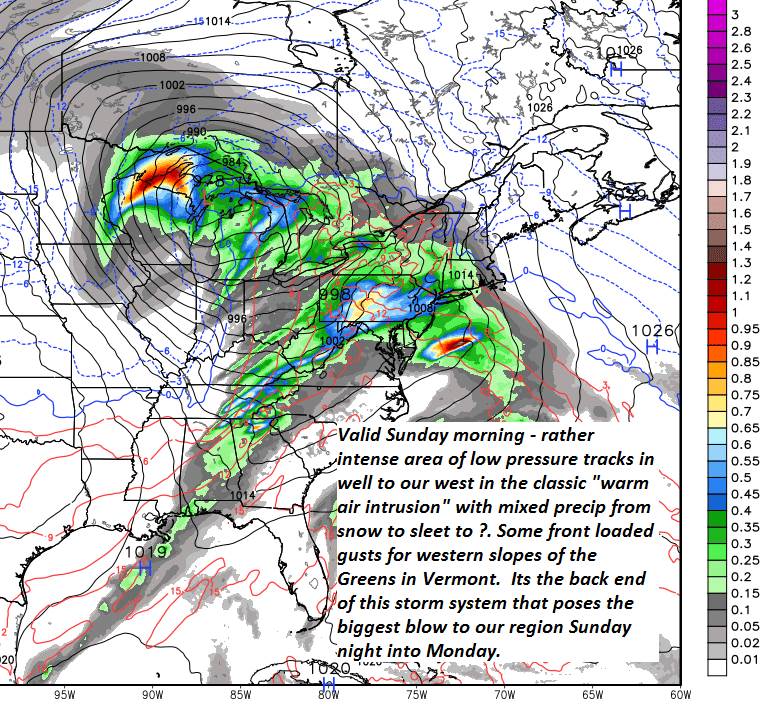
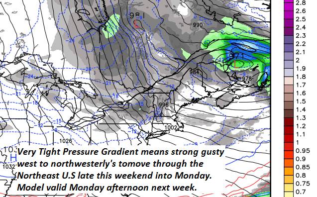
MONDAY: Gray. Chance for accumulating snow…possibly significant amounts. Temperatures holding in the 20s

TUESDAY — TOWN MEETING DAY: Chance for leftover snow showers or flurries giving way to intervals of afternoon sunshine. A low in the single digits. A high in the teens.

Average lows upper single digits into the upper teens. Average highs in the low to mid 30s.

RH/2-28-19[end]

Updated Wednesday Evening Forecast — February 27th, 2019

TONIGHT: Cloudy. Scattered flurries northern areas with periods of light snow barre-Montpelier area south. Accumulation dusting to an inch northern areas & 1 to locally 3” south of the Barre-Montpelier area. A low in the single digits. Light east winds.

TOMORROW: Scattered early flurries exiting. Becoming mostly sunny toward mid day or before. A high mid teens to near 20. Northwest winds 10 mph.

THURSDAY NIGHT: Scattered clouds or mostly clear. A low 5 below to 5 above. Little wind.

FRIDAY: Bright sunshine with a few high clouds. A high 25 to 30. Light southwest winds.

Looking further ahead…

FRIDAY NIGHT: Clear and cold with a few high clouds. A low in the single digits.

SATURDAY: Partial morning sunshine. Then increasingly cloudy with a Chance for light snow showers in the afternoon. A high in the mid 20s to around 30.

SUNDAY: Partly sunny with more clouds in the afternoon. A low 15 to 20. A high 32 to 35.

MONDAY: Gray. Chance for snow. A low 25 to 30. A high 25 to 30.

TUESDAY: Mixed clouds and sun. A low in the single digits. A high in the teens.

Average lows upper single digits into the upper teens. Average highs in the low to mid 30s.

RH/2-26-19[end]

Updated Wednesday morning Forecast — February 27th, 2019

Wind Chill Advisory expires this morning…

TODAY: Morning sun then clouding up in the afternoon. A rising chance for late day flurries. A high ranging mid single digits to lower teens. Light northwest winds.

TONIGHT: Cloudy. Scattered flurries northern areas with periods of light snow toward Rutland. Accumulation dusting to less than an inch except 1 to 2” toward Rutland. A low in the single digits to low teens above zero. Light east winds.

THURSDAY: Scattered early flurries exiting. Increasing sunshine in the afternoon. A high 20 to 25. Northwest winds 10 mph.

Looking further ahead…

THURSDAY NIGHT: Scattered clouds. A low 5 below to 5 above.

FRIDAY: Blue skies and bright sunshine with a few high clouds. A high in the upper 20s to mid 30s.

SATURDAY: Morning sunshine, then clouding up. Chance for light snow showers developing in the afternoon. A low 5 to 15. A high around 32.

SUNDAY: Mixed clouds and sun. A low mid teens to low 20s. A high 25 to 30.

MONDAY: Gray. Chance for snow. A low in the mid 20s. A high around 30.

Average lows upper single digits into the upper teens. Average highs in the low to mid 30s.

RH/2-26-19[end]

Updated Tuesday Evening Forecast — February 26th, 2019

Wind Chill Advisory Tonight into Wednesday morning…

TONIGHT: Mostly clear and frigid. A low zero to 10 below. Northwest winds 10 to 15 mph…lowered wind chills.

TOMORROW: Morning sun then clouding up in the afternoon. A rising chance for late day flurries. A high ranging mid single digits to lower teens. Light northwest winds.

WEDNESDAY NIGHT: Cloudy. Scattered flurries northern areas with periods of light snow toward Rutland. Accumulation dusting to less than an inch except 1 to 2” toward Rutland. A low in the single digits to low teens above zero. Light east winds.

THURSDAY: Scattered early flurries exiting. Increasing sunshine in the afternoon. A high 20 to 25. Northwest winds 10 mph.

Looking further ahead…

THURSDAY NIGHT: Scattered clouds. A low 5 below to 5 above.

FRIDAY: Blue skies and bright sunshine with a few high clouds. A high in the upper 20s to mid 30s

SATURDAY: Partly to mostly sunny, then more clouds in the afternoon. A low 5 to 15. A high upper 20s to mid 30s.

SUNDAY: Lots of clouds with a chance for scattered snow showers or flurries in the morning. A low mid teens to low 20s. A high 25 to 30.

Average lows upper single digits into the upper teens. Average highs in the low to mid 30s.

RH/2-26-19[end]

Updated Tuesday Morning Forecast — February 26th, 2019

Wind chill Advisory into Tuesday expires later this morning Northeast Kingdom…

TODAY: Partly to mostly sunny. Continued blustery at times. A high ranging just 5 to 15 above. Northwest winds 10 to occasionally 25 mph.

TONIGHT: Mostly clear and frigid. A low 5 to 10 below. Northwest winds 10 mph…lowered wind chills.

WEDNESDAY: Morning sun then clouding up in the afternoon. Well below normal in temperatures. A high ranging mid single digits to lower teens. Northwest winds 10 mph.

Looking further ahead…

WEDNESDAY NIGHT: Cloudy. Flurries likely developing northern areas, with periods of light snow central and southern areas. Accumulation dusting to 2”. A low in the single digits to low teens above zero.

THURSDAY: Scattered flurries exiting in the morning. Sunshine developing after considerable morning clouds. in the afternoon. A high upper teens to mid 20s.

FRIDAY: Blue skies and bright sunshine with a few high clouds. A low zero to 10 below. A high 25 to 30.

SATURDAY: Partly to mostly sunny, then more clouds in the afternoon. A low in the single digits. A high upper 20s to mid 30s.

SUNDAY: Cloudy. Chance for snow. A low in the teens. A high 25 to 30.

Average lows upper single digits into the upper teens. Average highs in the low to mid 30s.

RH/2-26-19[end]

Roger Hill

Weatheringheights Consulting

186 MacKenzie Dr.

Worcester Vermont 05682

802 224 0456 work

802 522 3644 cell

Updated Monday Evening Forecast — February 25th, 2019

Wind Advisory expires 7 PM this evening…Winter Weather Advisory for the Northeast Kingdom through 11 PM, Wind chill Advisory into Tuesday…

TONIGHT: Frequent flurries & mountain snow showers exiting toward midnight. Blowing & drifting snow at times. Otherwise becoming partly cloudy and colder. A low in the single digits. Northwest winds 10 to 25 mph lowering wind chills this evening…decreasing overnight.

TOMORROW: Partly cloudy early, giving way to increasing amounts sunshine. Continued blustery with lowered wind chills. A high upper single digits to mid teens. Northwest winds 10 to 25 mph.

TUESDAY NIGHT: Mostly clear and frigid. A low zero to ten below. Northwest winds 10 to 15 mph…lowering wind chills.

WEDNESDAY: Mostly sunny in the morning with increasing clouds in the afternoon. Well below normal in temperatures. A high ranging 5 to 15 above coldest north. Northwest winds 10 mph.

Looking further ahead…

WEDNESDAY NIGHT: Cloudy. Rising chance flurries light snow northern areas. Occasional light accumulating snow southern areas A low in the single digits above zero.

THURSDAY: Scattered flurries exiting in the morning. Sunshine developing in the afternoon. A high upper teens to mid 20s.

FRIDAY: Blue skies and bright sunshine with a few high clouds. A low zero to 10 below. A high 25 to 30.

SATURDAY: Partly to mostly sunny, then more clouds in the afternoon. A low in the single digits. A high upper 20s to mid 30s.

Average lows upper single digits into the upper teens. Average highs in the low to mid 30s.

RH/2-25-19[end]

Updated Monday morning Forecast — February 25th, 2019

Wind Advisory through 7 PM This evening…

TODAY: Mainly gray. Blustery to windy. Occasional snow showers with a risk of a snow squalls. Accumulation about dusting to 2” locally more possible Northeast Kingdom and higher Green Mountains. Temperatures mid 20s to near 30 this morning…falling into the teens later this afternoon. Gusty west to northwest winds 15 to 30 mph with gusts over 50 mph especially higher terrain.

TONIGHT: Mostly cloudy. Mountain flurries exiting toward midnight becoming partly cloudy. A low in the single digits. Northwest winds 10 to 25 mph with higher gusts this evening…gradually falling off overnight.

TUESDAY: Partly cloudy early, giving way to increasing amounts sunshine. Continued rather blustery with lowered wind chills. A high upper single digits to upper teens. Northwest winds 10 to 25 mph.

Looking further ahead…

TUESDAY NIGHT: Mostly clear and frigid. A low zero to ten below.

WEDNESDAY: Mostly sunny in the morning with increasing clouds in the afternoon. Well below normal in temperatures. A high just 5 to 10 above.

THURSDAY: Gray with period of light accumulating snow mostly southern areas, otherwise northern flurries with intervals of sun in the afternoon. A low 5 below to 5 above. A high upper teens to mid 20s.

FRIDAY: Blue skies and bright sunshine. A low 5 above to 5 below. A high mid 20s to low 30s.

Average lows upper single digits into the upper teens. Average highs in the low to mid 30s.

RH/2-25-19[end]

Updated Friday Evening Forecast — February 22nd, 2019

TONIGHT: Mostly clear and partially moonlit.A low ranging from 5 to 15 above.Little wind.

TOMORROW: Sunshine, but with some high cloudiness in the afternoon. A high around 35. Light west to southwest winds.

SATURDAY NIGHT: Thickening clouds. Light snow developing possibly mixing with sleet with up to 2 inches possible. An evening low upper teens to mid 20s. Southeast winds picking up 10 to 20 mph overnight.

SUNDAY: Gray. Snow or a wintry mix changing to rain with slippery travel. Blustery at times. A high eventually reaching near 35. South to southeast winds 10 to 25 mph with higher gusts especially western slopes of the Green Mountains and Champlain Valley…decreasing later in the afternoon.

Looking further ahead…

SUNDAY NIGHT: Periods of light rain in the evening changing back to light snow or snow squalls. Accumulations of an inch or two. Blustery to windy with a low in the mid to upper 20s.

MONDAY: Mainly gray. Blustery to windy. Occasional light accumulating snow/snow squalls. Temperatures holding in the mid to upper 20s. Gusty west to northwest winds.

TUESDAY: Partly to mostly cloudy and blustery at times. A low in the single digits. A high in the teens.

WEDNESDAY: A few clouds but lots of sunshine. Frigid conditions return. A low zero to 10 below. A high just 5 to 10 above.

Average lows in the teens. Average highs in the upper 20s to upper 30s.

RH/2-21-19[end]

Updated Friday Morning Forecast — February 22nd, 2019

TODAY: Morning cloudiness breaking up to increasing amounts of sunshine. A high in the upper 20s to low 30s. Northwest winds 10 to 15 mph.

TONIGHT: Clear and partially moonlit.A low in the single digits.Little wind.

SATURDAY: Sunshine but with some high cloudiness in the afternoon. A high around 35. Light southwest winds.

Looking further ahead…

SATURDAY NIGHT: Thickening clouds. A rising chance for light snow developing southern and western areas. An early low 20 to 25.

SUNDAY: Gray. Snow…or a wintery mix likely…with slippery travel. A few inches of snow and sleet and possible glazing. Blustery at times. A high eventually reaching near 35. Gusty west winds developing.

MONDAY: Mainly gray. Blustery to windy. Occasional light accumulating snow/snow squalls. Temperatures holding in the mid to upper 20s. Gusty west to northwest winds.

TUESDAY: Partly to mostly cloudy and blustery at times. A low in the single digits. A high in the teens.

WEDNESDAY: A few clouds but lots of sunshine. Frigid conditions return. A low zero to 10 below. A high just 5 to 10 above.

Average lows upper single digits to mid teens. Average highs in the upper 20s to mid 30s.

RH/2-21-19[end]