TONIGHT: Mostly cloudy. Scattered mountain snow showers & valley flurries. A light coating in some spots this evening. A low upper teens to mid 20s. Blustery. Northwest winds 10 to 15 mph.
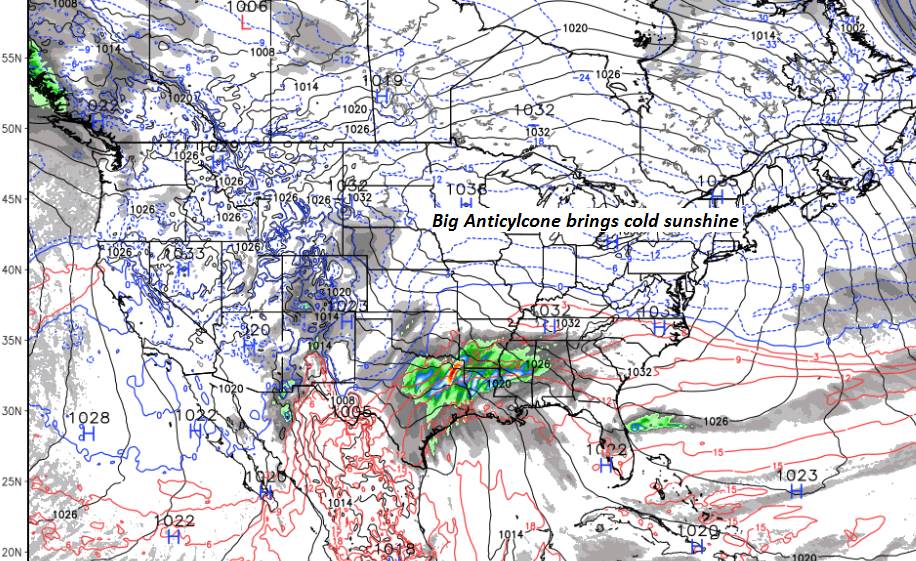
TOMORROW: Morning cloudiness gives way to lots of sunshine. A high around 30. Northwest winds 10 to 15 mph.
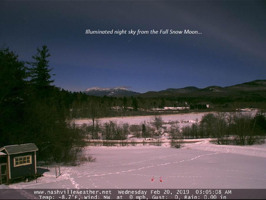
FRIDAY NIGHT: Clear and partially moonlit.A low in the single digits.Little wind.
SATURDAY: Sunshine but with some high cloudiness in the afternoon. A high in the low to mid 30s. Light southwest winds.
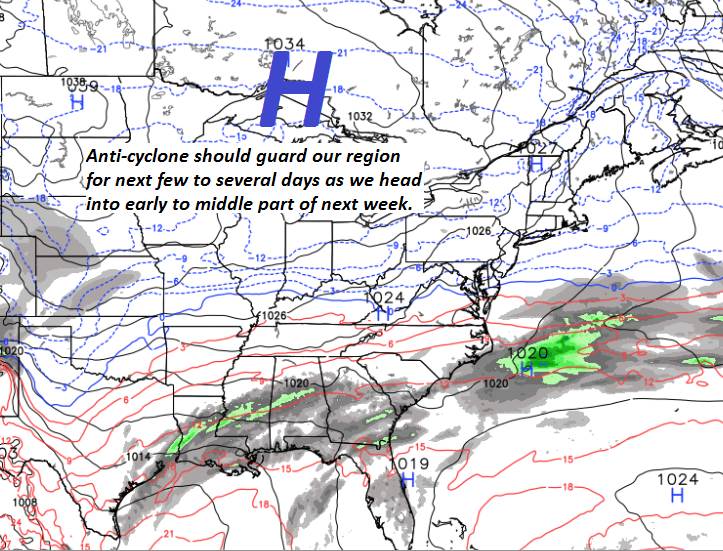
Looking further ahead…
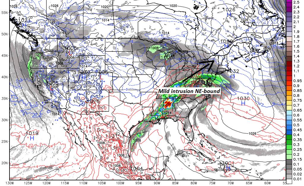
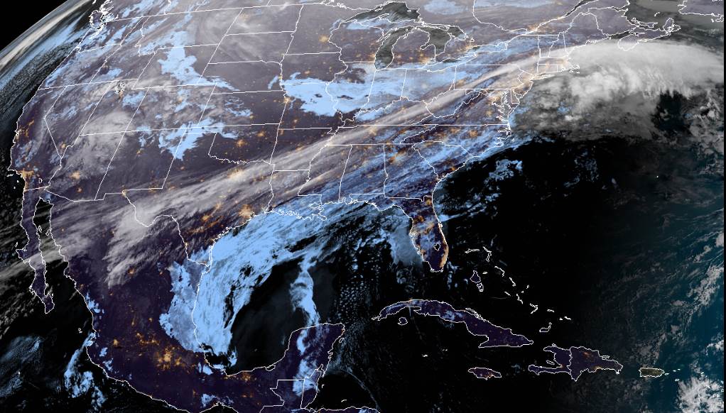
SATURDAY NIGHT: Thickening clouds. A rising chance for light snow developing southern and western areas. An early low upper teens to low 20s.
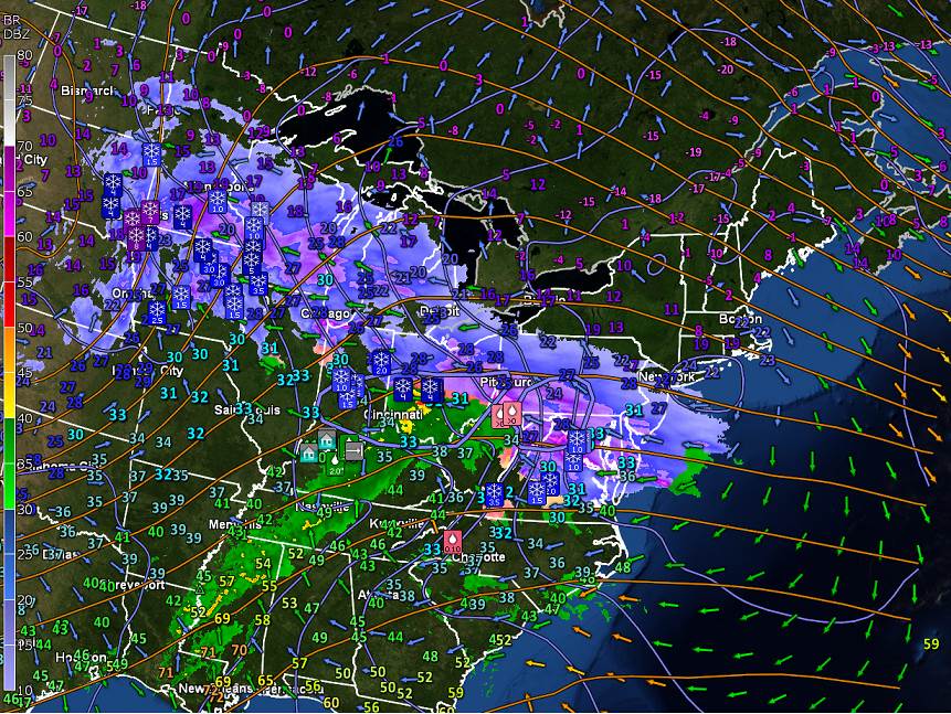
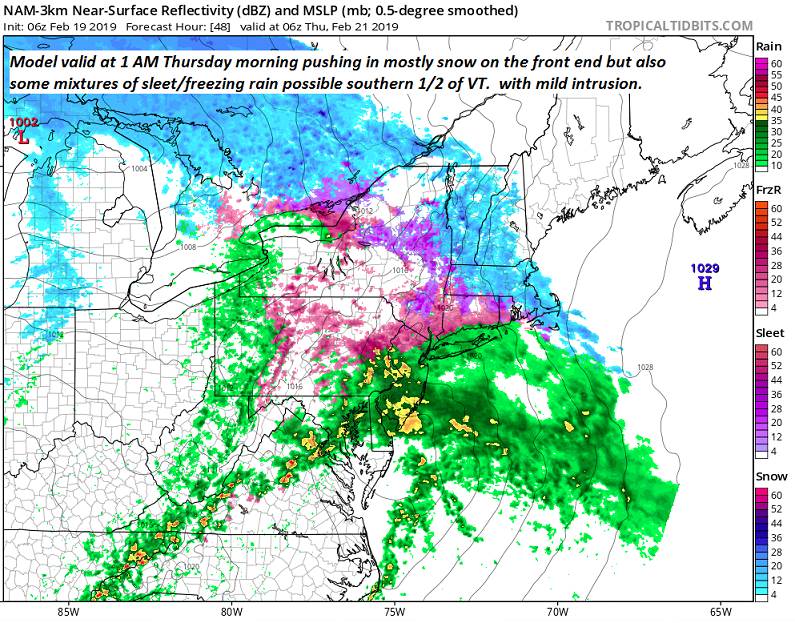
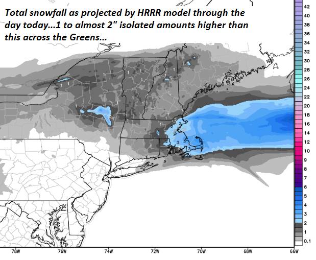
SUNDAY: Gray. Snow…or a wintery mix likely…with slippery travel. A few inches of snow and sleet and possible glazing. Blustery at times. A high eventually reaching near 35. Gusty west winds developing.
MONDAY: Mainly gray. Blustery to windy. Occasional light accumulating snow/snow squalls. A low in the 20s. Temperatures holding in the 20s. Gusty west to northwest winds.
Average lows upper single digits to mid teens. Average highs in the upper 20s to mid 30s.
RH/2-21-19[end]