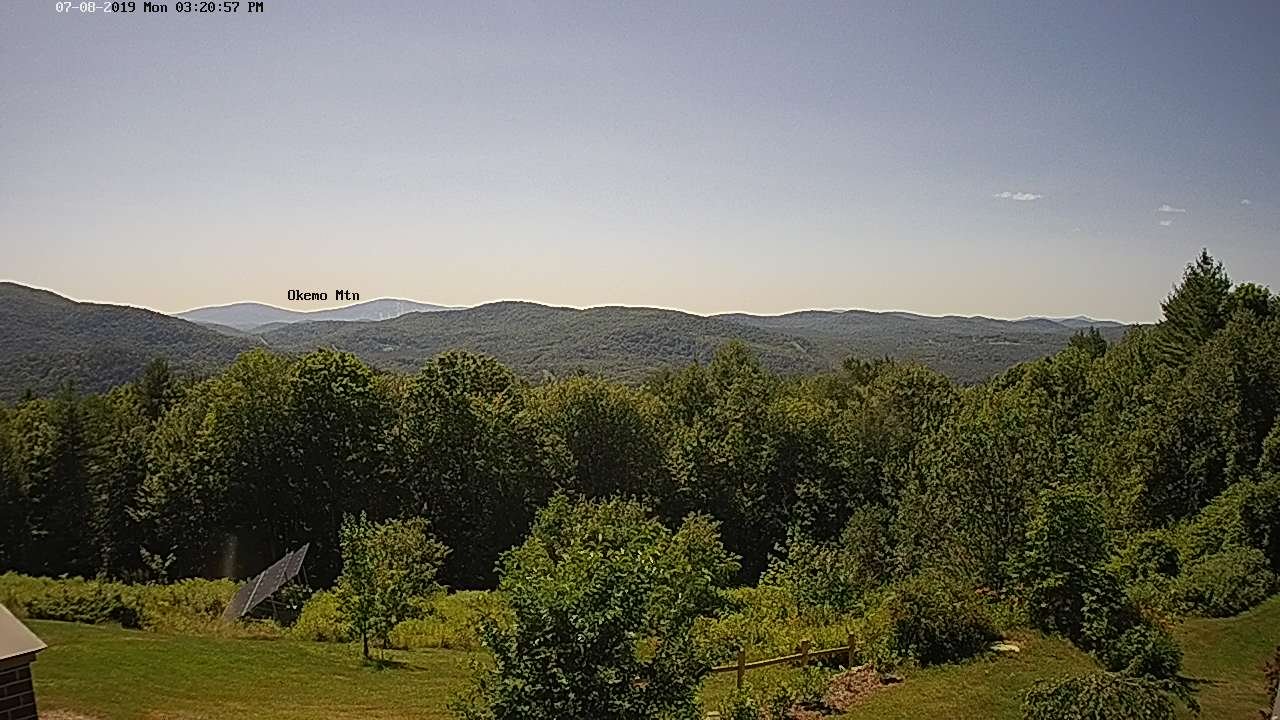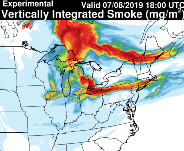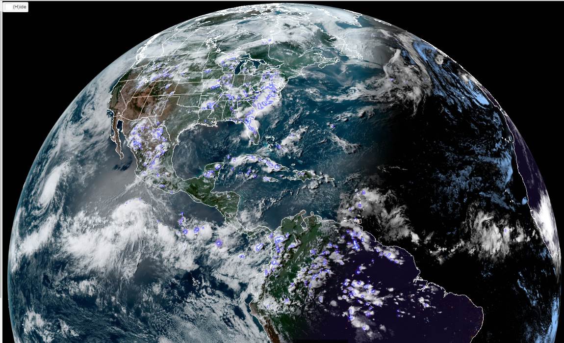
TODAY: Sunshine mixing with high cloudiness. Pleasant. A high in the lower 80s. Northwest winds 10 mph.
TONIGHT: Mostly clear. A low mid 50s to low 60s. Light southwest winds.
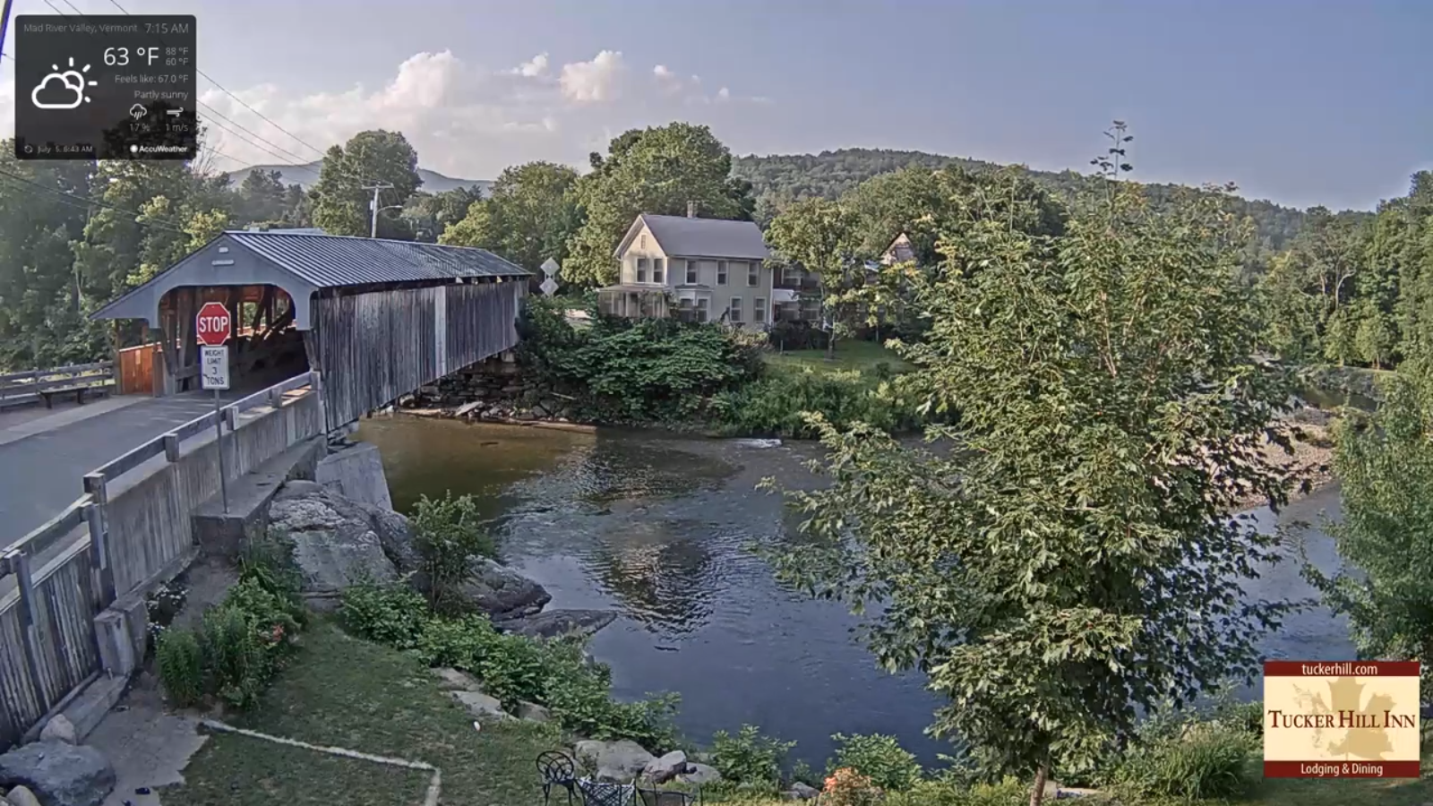
WEDNESDAY: Filtered sunshine through high clouds. Moderate humidity levels. A high in the mid 80s. Light southwest winds.
Looking further ahead…
WEDNESDAY NIGHT: Mostly clear. A low in the lower 60s.
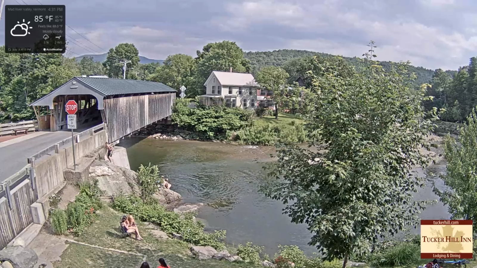
THURSDAY: Partial sunshine giving way to more afternoon clouds. Muggy and warm. An isolated afternoon pop up shower. A high 80 to 85.
FRIDAY: Morning clouds. Good chance for a couple rounds of showers and thunderstorms. A low 60 to 65. A high around 80.
SATURDAY: Partly sunny. Widely scattered showers and thunderstorms toward evening. A low around 60. A high in the lower 80s.
SUNDAY: Mixed sun and clouds. Widely scattered showers and afternoon thunderstorms. A low 60 to 65. A high mid 70s to near 80.
Average lows mid 50s to low 60s. Average highs upper 70s to low 80s.
Warmest 90 days of meteorological summer peaks July 22nd…
RH/7-9-19[end]